|
Stockton Airport (other)
Stockton Airport may refer to: * Stockton Metropolitan Airport in Stockton, California, United States (FAA: SCK) * Stockton Municipal Airport (Kansas) in Stockton, Kansas, United States (FAA: 0S2) * Stockton Municipal Airport (Missouri) in Stockton, Missouri, United States (FAA: MO3) {{airport disambiguation ... [...More Info...] [...Related Items...] OR: [Wikipedia] [Google] [Baidu] |
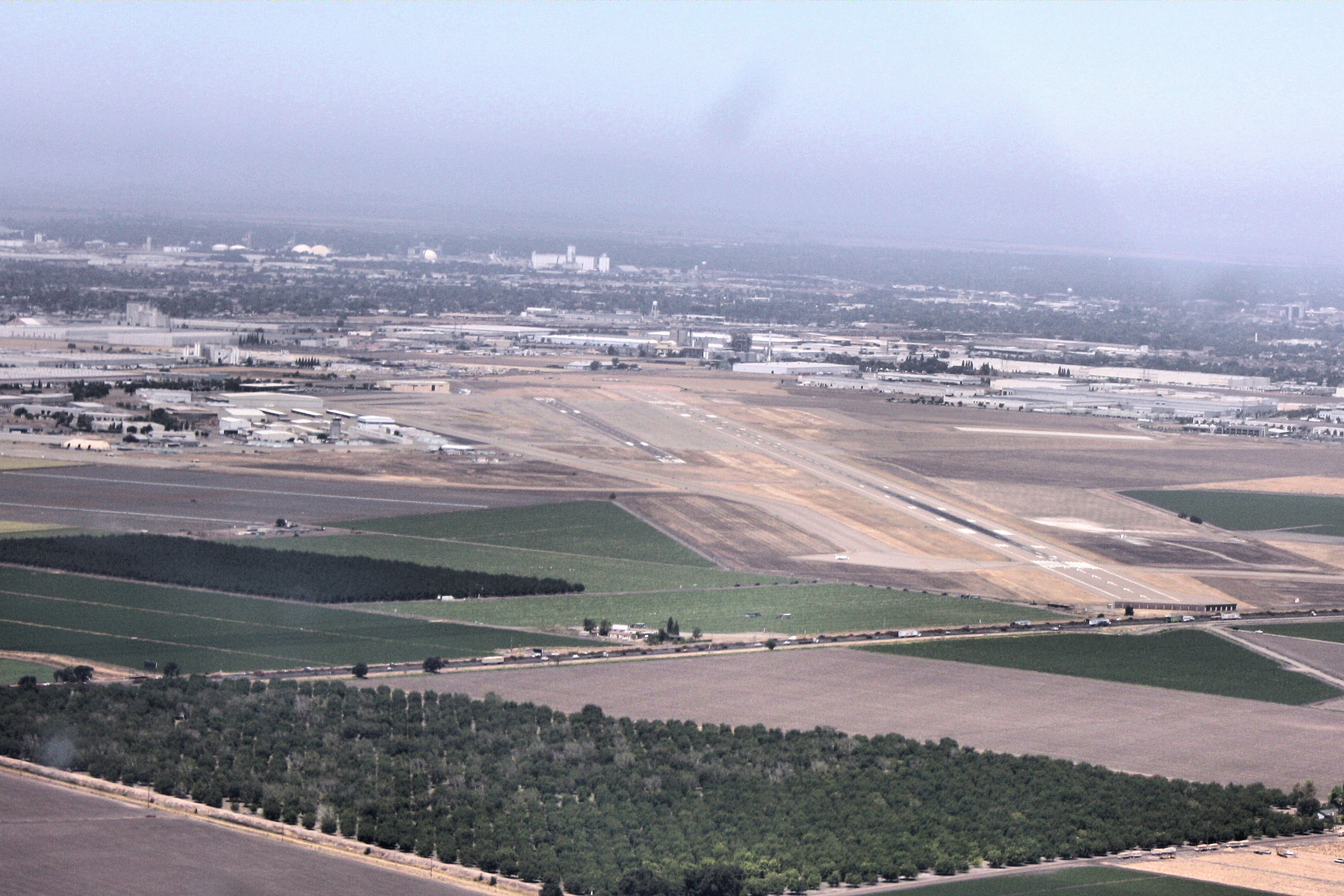
Stockton Metropolitan Airport
Stockton Metropolitan Airport is a joint civil-military airport three miles southeast of downtown Stockton, a city in San Joaquin County, California. It is owned by the County of San Joaquin. The National Plan of Integrated Airport Systems categorized it as a ''primary commercial service'' airport. Federal Aviation Administration records say it had 36,935 passenger boardings (enplanements) in calendar year 2008, 28,368 in 2009 and 50,632 in 2010. History In the months preceding World War II, the U.S. Army entered into the first of many lease agreements with the City of Stockton (on August 15, 1940) to build and operate an Army training facility at Stockton Municipal Airport. World War II Stockton Army Airfield was initially garrisoned by the 68th Air Base Group (Special) under the Air Corps Advanced Flying School. Between 1940 and 1945, Stockton Field served as a training installation under the West Coast Training Center (later Western Flying Training Command) headquartered a ... [...More Info...] [...Related Items...] OR: [Wikipedia] [Google] [Baidu] |
Stockton Municipal Airport (Kansas)
Stockton Municipal Airport is a city-owned, public-use airport located three nautical miles (6 km) southwest of the central business district of Stockton, a city in Rooks County, Kansas, United States. Facilities and aircraft Stockton Municipal Airport covers an area of 116 acres (47 ha) at an elevation of 1,973 feet (601 m) above mean sea level. It has one runway designated 17/35 with a turf surface measuring 3,500 by 240 feet (1,067 x 73 m). For the 12-month period ending May 27, 2010, the airport had 650 aircraft operations, an average of 54 per month: 100% general aviation. References External links Stockton Municipal Airportat Kansas DOT website Aerial image as of August 1991from USGS ''The National Map ''The National Map'' is a collaborative effort of the United States Geological Survey (USGS) and other federal, state, and local agencies to improve and deliver topographic information for the United States. The purpose of the effort is to pro . ... [...More Info...] [...Related Items...] OR: [Wikipedia] [Google] [Baidu] |
