|
Squirrel King
A squirrel king is a collection of squirrels whose tails have tangled together, making them unable to separate themselves. It is similar to a phenomenon recorded in rats, the rat king. A squirrel king starts as a litter of young in the same nest, whose tails become knotted together by nesting materials and/or by tree sap 01 or '01 may refer to: * The year 2001, or any year ending with 01 * The month of January * 1 (number) Music * 01'' (Richard Müller album), 2001 * ''01'' (Son of Dave album), 2000 * ''01'' (Urban Zakapa album), 2011 * ''O1'' (Hiroyuki Sawa ... gluing the tails together, particularly if the young squirrels have been gnawing bark of the tree that their nest is in, letting sap flow. If the squirrels are not separated, they may fall to the ground still joined to each other when they try to come out of their nest, and will invariably die unless separated through human intervention. Unlike the rat king, the squirrel king is not found in medieval European liter ... [...More Info...] [...Related Items...] OR: [Wikipedia] [Google] [Baidu] |
Squirrel
Squirrels are members of the family Sciuridae, a family that includes small or medium-size rodents. The squirrel family includes tree squirrels, ground squirrels (including chipmunks and prairie dogs, among others), and flying squirrels. Squirrels are indigenous to the Americas, Eurasia, and Africa, and were introduced by humans to Australia. The earliest known fossilized squirrels date from the Eocene epoch, and among other living rodent families, the squirrels are most closely related to the mountain beaver and to the dormice. Etymology The word ''squirrel'', first attested in 1327, comes from the Anglo-Norman which is from the Old French , the reflex of a Latin word , which was taken from the Ancient Greek word (; from ) 'shadow-tailed', referring to the long bushy tail which many of its members have. The native Old English word for the squirrel, , survived only into Middle English (as ) before being replaced. The Old English word is of Common Germanic origin, cognat ... [...More Info...] [...Related Items...] OR: [Wikipedia] [Google] [Baidu] |
Grand Blanc Township, Michigan
Charter Township of Grand Blanc is a charter township of Genesee County in the U.S. state of Michigan. The population was 39,846 at the 2020 census, a slight increase from 37,508 at the 2010 census. The city of Grand Blanc was formed out of part of the township's survey area. The Charter Township is the largest suburb of Flint. Communities * Whigville, also known as Gibsonville, is an unincorporated community as designated by the posted signs in the Township along Hill Road, Dort Highway and Saginaw Street. History Originally settled by Chippewa Indians, the township took its name—French for "Great white"—from French traders who arrived before 1800. Afterwards, pioneer families began settling in the township. Jacob Stevens settled at the survey township center and future city with his family in 1823. Stony Run post office was formed in the area when it was in Oakland County on June 6, 1934 with Marston W. Richards as the first postmaster. The oldest unit of governme ... [...More Info...] [...Related Items...] OR: [Wikipedia] [Google] [Baidu] |
Duluth, Minnesota
, settlement_type = City , nicknames = Twin Ports (with Superior), Zenith City , motto = , image_skyline = , image_caption = Clockwise from top: urban Duluth skyline; Minnesota Point beach; Duluth Ship Canal and Aerial Lift Bridge with Canal Park in background; and North Pier Lighthouse with freighter arriving , image_flag = Flag_of_Duluth,_Minnesota.svg , flag_alt = Flag of Duluth (gold star on a light blue banner with white, green, and dark blue waves below) , image_map = St. Louis County Minnesota Incorporated and Unincorporated areas Duluth Highlighted.svg , mapsize = 250x200px , map_caption = Location of the city of Duluthwithin St. Louis County, Minnesota , image_map1 = , mapsize1 = , map_caption1 = , pushpin_map = Minnesota#USA , pushpin_label = Duluth , pushp ... [...More Info...] [...Related Items...] OR: [Wikipedia] [Google] [Baidu] |
Multnomah Village, Oregon
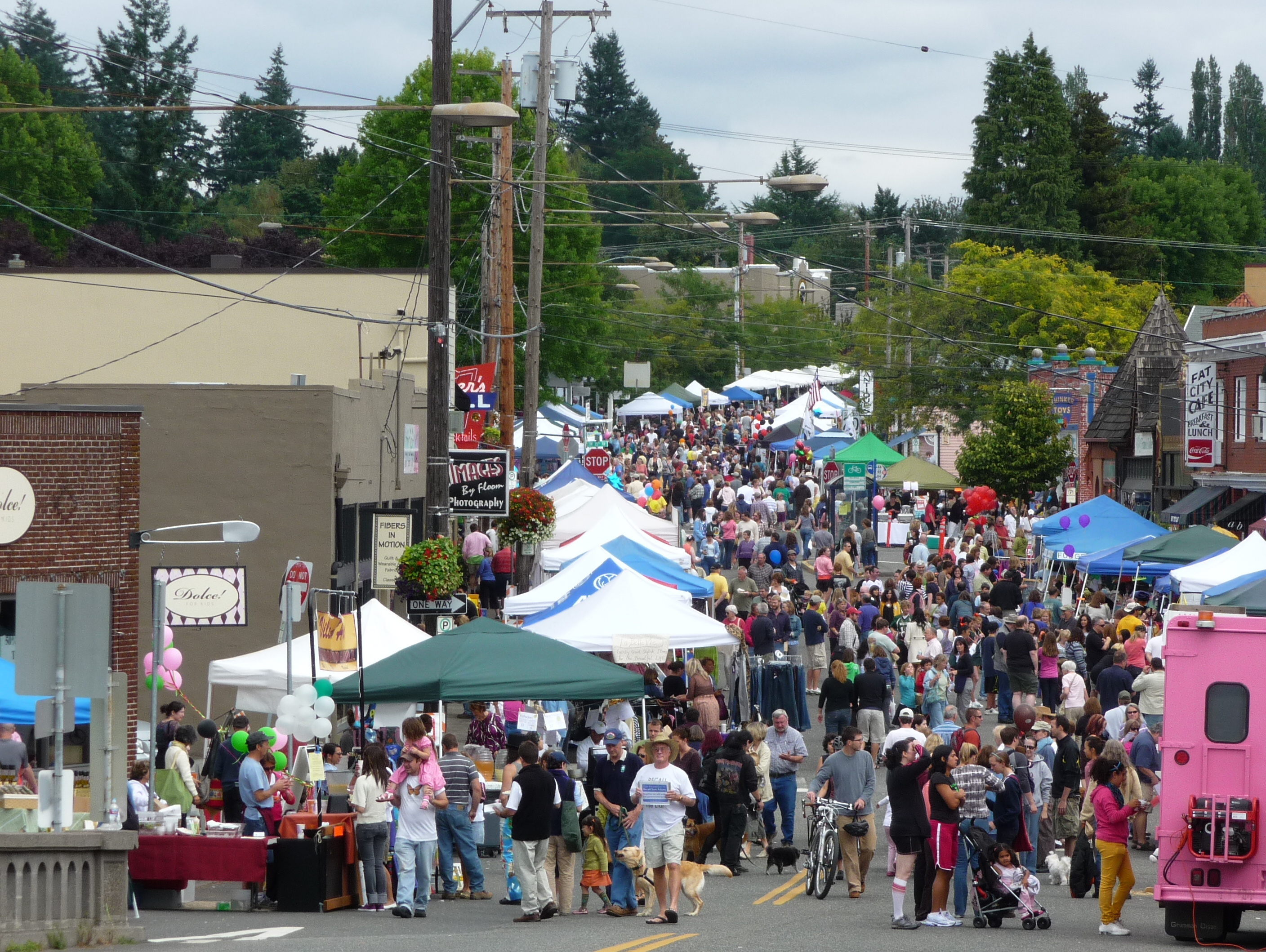
Multnomah is a neighborhood in the southwest section of Portland, Oregon, centered on the Multnomah Village business district. The community developed in the 1910s around a depot of the Oregon Electric Railway of the same name. It was annexed by the city of Portland on November 7, 1950. Multnomah is bordered by SW 45th Ave. on the west, SW Capitol Hill Road on the east, SW Vermont St. on the north, and I-5 in the south. Exceptions are the area north of SW Nevada Ct. and east of SW 26th Ave. (part of Hillsdale), an area south of SW Multnomah Blvd. and north of SW Dolph St. where SW 48th Ave. is the western border, and an area south of SW Marigold St. where SW Capitol Highway is the western border. The neighborhood is bordered by Maplewood, Ashcreek, and Crestwood on the west, Hayhurst and Hillsdale to the north, and South Burlingame, Markham, and West Portland Park to the south and east. A bit of Portland history played out in the Village on April 7, 1987, when Mayor Bud ... [...More Info...] [...Related Items...] OR: [Wikipedia] [Google] [Baidu] |
Beacon Falls, Connecticut
Beacon Falls is a town in western New Haven County, Connecticut, United States. It lies in the southwestern part of the state, and is bisected by the Naugatuck River. The population was 6,000 at the 2020 census, down from 6,049 at the 2010 census. Founding The area that was to become Beacon Falls was first inhabited by tribal communities of Paugusetts and Paugusucks and was originally known as Nyumps. Early history texts indicate that a former Native American slave called Toby bought much of the land that was to become the town on September 7, 1693, for 10 pounds and a barrel of cider. Settlers from Derby, Connecticut moved to the area in 1678 and the town was incorporated in 1871 on lands carved from the neighboring towns of Bethany, Seymour, Naugatuck and Oxford. The town was named for Beacon Hill, from which a small waterfall descended. History The history of Beacon Falls is tied to the series of manufacturing concerns that operated in the town's impressive brick ... [...More Info...] [...Related Items...] OR: [Wikipedia] [Google] [Baidu] |
Stockton On Tees
Stockton-on-Tees, often simply referred to as Stockton, is a market town in the Borough of Stockton-on-Tees in County Durham, England. It is on the northern banks of the River Tees, part of the Teesside built-up area. The town had an estimated population of 84,318 in 2011. It is included in the Tees Valley mayoralty. The borough had a population of approximately , at the ONS The Tees was straightened in the early 1800s for larger ships to access the town. The ports have since relocated closer to the North Sea and ships are no longer able to sail from the sea to the town due to the Tees Barrage, which was installed to manage tidal flooding. The Stockton and Darlington Railway, on which coal was ferried to the town for shipment, served the port during early part of the Industrial Revolution. The railway was also the world's first permanent steam-locomotive-powered passenger railway. History Etymology ''Stockton'' is an Anglo-Saxon place name with the common ending ''ton' ... [...More Info...] [...Related Items...] OR: [Wikipedia] [Google] [Baidu] |
Wisconsin
Wisconsin () is a state in the upper Midwestern United States. Wisconsin is the 25th-largest state by total area and the 20th-most populous. It is bordered by Minnesota to the west, Iowa to the southwest, Illinois to the south, Lake Michigan to the east, Michigan to the northeast, and Lake Superior to the north. The bulk of Wisconsin's population live in areas situated along the shores of Lake Michigan. The largest city, Milwaukee, anchors its largest metropolitan area, followed by Green Bay and Kenosha, the third- and fourth-most-populated Wisconsin cities respectively. The state capital, Madison, is currently the second-most-populated and fastest-growing city in the state. Wisconsin is divided into 72 counties and as of the 2020 census had a population of nearly 5.9 million. Wisconsin's geography is diverse, having been greatly impacted by glaciers during the Ice Age with the exception of the Driftless Area. The Northern Highland and Western Upland along wi ... [...More Info...] [...Related Items...] OR: [Wikipedia] [Google] [Baidu] |
Boulder, Colorado
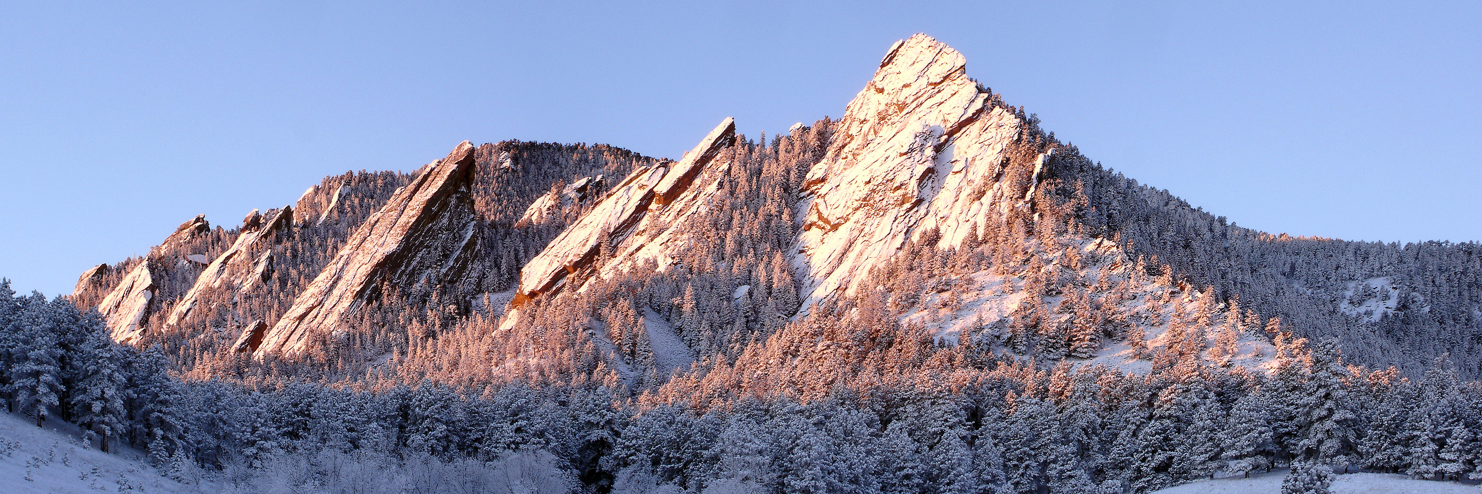
Boulder is a home rule city that is the county seat and most populous municipality of Boulder County, Colorado, United States. The city population was 108,250 at the 2020 United States census, making it the 12th most populous city in Colorado. Boulder is the principal city of the Boulder, CO Metropolitan Statistical Area and an important part of the Front Range Urban Corridor. Boulder is located at the base of the foothills of the Rocky Mountains, at an elevation of above sea level. Boulder is northwest of the Colorado state capital of Denver. It is home of the main campus of the University of Colorado, the state's largest university. History On November 7, 1861, the Colorado General Assembly passed legislation to locate the University of Colorado in Boulder. On September 20, 1875, the first cornerstone was laid for the first building (Old Main) on the CU campus. The university officially opened on September 5, 1877. In 1907, Boulder adopted an anti- saloon ordinanc ... [...More Info...] [...Related Items...] OR: [Wikipedia] [Google] [Baidu] |
Loveland, Colorado
The City of Loveland is the home rule municipality that is the second most populous municipality in Larimer County, Colorado, United States. Loveland is situated north of the Colorado State Capitol in Denver and is the 14th most populous city in Colorado. As of the 2020 census the population of Loveland was 76,378. The city forms part of the Fort Collins-Loveland Metropolitan Statistical Area and the Front Range Urban Corridor. The city's public schools are part of the Thompson R2-J School District. Location Loveland is located in southeastern Larimer County at (40.404789, −105.085868). Located south of Fort Collins, its larger neighbor and the county seat of Larimer County, both cities have expanded steadily towards each other over the last several decades. They are considered a single metropolitan area by the U.S. government. The establishment of county-owned open space between the two communities in the 1990s was intended to create a permanent buffer. The northern city ... [...More Info...] [...Related Items...] OR: [Wikipedia] [Google] [Baidu] |
Hope For Wildlife
Hope for Wildlife (HFW) is a non-profit wildlife rehabilitation and education centre located on a farm in Seaforth, Halifax Nova Scotia, Canada. It was founded by Hope Swinimer in 1997 as The Eastern Shore Wildlife Rehabilitation and Rescue Centre. It got its current name in 2005. A television series, ''Hope for Wildlife'', began documenting the centre's efforts in 2009. The centre is dedicated to providing care to injured and orphaned animals before releasing them back into the wild. It also seeks to connect people to wildlife in a positive way through education for a sustainable future. As of 2018, the center has helped over 40,000 animals return to their wild habitat, representing over 200 species. The money for the farm comes mostly from small donations. Bigger donations come from events like the open house where people tour the farm, a government grant for summer internships, and money from the TV show. In an interview with a local paper, Swinimer admits the show is "a li ... [...More Info...] [...Related Items...] OR: [Wikipedia] [Google] [Baidu] |
Nova Scotia
Nova Scotia ( ; ; ) is one of the thirteen provinces and territories of Canada. It is one of the three Maritime provinces and one of the four Atlantic provinces. Nova Scotia is Latin for "New Scotland". Most of the population are native English-speakers, and the province's population is 969,383 according to the 2021 Census. It is the most populous of Canada's Atlantic provinces. It is the country's second-most densely populated province and second-smallest province by area, both after Prince Edward Island. Its area of includes Cape Breton Island and 3,800 other coastal islands. The Nova Scotia peninsula is connected to the rest of North America by the Isthmus of Chignecto, on which the province's land border with New Brunswick is located. The province borders the Bay of Fundy and Gulf of Maine to the west and the Atlantic Ocean to the south and east, and is separated from Prince Edward Island and the island of Newfoundland by the Northumberland and Cabot straits, ... [...More Info...] [...Related Items...] OR: [Wikipedia] [Google] [Baidu] |


.jpg)


