|
Southern Brook Lamprey
The southern brook lamprey (''Ichthyomyzon gagei'') is a lamprey found in the Southern United States including Arkansas, Louisiana, Mississippi, Alabama, and Georgia. It is a jawless fish with a sucking mouth on one end of it (like a leech). It can appear to be a small eel, since it is rarely longer than one foot in length. Geographic distribution The southern brook lamprey occurs in slow moving rivers and streams from Florida to southern Mississippi, Georgia, and Arkansas along the Gulf Coast west to Oklahoma and Texas.Beamish, F.W.H. 1982. Biology of the Southern Brook Lamprey. Environmental Biology of Fishes. (7) p.305-320. It ranges as far north as Minnesota and Wisconsin, and has been reported to occur in the Chattahoochee river system and the Conecuh River system in Alabama, the Sabine river system in Texas and Louisiana, the Illinois river system in Oklahoma, and the Neches River The Neches River () begins in Van Zandt County west of Rhine Lake and flows for thro ... [...More Info...] [...Related Items...] OR: [Wikipedia] [Google] [Baidu] |
Carl Leavitt Hubbs
Carl Leavitt Hubbs (October 19, 1894 – June 30, 1979) was an American ichthyologist. Biography Youth He was born in Williams, Arizona. He was the son of Charles Leavitt and Elizabeth (née Goss) Hubbs. His father had a wide variety of jobs (farmer, iron mine owner, newspaper owner). The family moved several times before settling in San Diego where he got his first taste of natural history. After his parents divorced in 1907, he lived with his mother, who opened a private school in Redondo Beach, California. His maternal grandmother Jane Goble Goss, one of the first female doctors, showed Hubbs how to harvest shellfish and other sea creatures. One of his teachers, impressed by Hubbs's abilities in science, recommended that he study chemistry at the University of Berkeley. The family moved once more to Los Angeles. In Los Angeles, George Bliss Culver, one of the many volunteers of David Starr Jordan, encouraged Hubbs to abandon his study of birds and instead to study fish, par ... [...More Info...] [...Related Items...] OR: [Wikipedia] [Google] [Baidu] |
Illinois River
The Illinois River ( mia, Inoka Siipiiwi) is a principal tributary of the Mississippi River and is approximately long. Located in the U.S. state of Illinois, it has a drainage basin of . The Illinois River begins at the confluence of the Des Plaines and Kankakee rivers in the Chicago metropolitan area, and it generally flows to the southwest across Illinois, until it empties into the Mississippi near Grafton, Illinois. Its drainage basin extends into southeastern Wisconsin, northwestern Indiana, and a very small area of southwestern Michigan in addition to central Illinois. Along it's shores are several ports, including Peoria, Illinois. The river was important among Native Americans and early French traders as the principal water route connecting the Great Lakes with the Mississippi. The French colonial settlements along these rivers formed the heart of the area known as the Illinois Country in the 17th and 18th centuries. After the construction of the Illinois and Mich ... [...More Info...] [...Related Items...] OR: [Wikipedia] [Google] [Baidu] |
Ichthyomyzon
''Ichthyomyzon'' is a genus of northern lampreys in the sub-family Petromyzontinae, native to North America. Species There are currently six recognized species in this genus: * ''Ichthyomyzon bdellium'' ( D. S. Jordan, 1885) (Ohio lamprey) * ''Ichthyomyzon castaneus'' Girard, 1858 (Chestnut lamprey) * ''Ichthyomyzon fossor'' Reighard & Cummins, 1916 (Northern brook lamprey) * ''Ichthyomyzon gagei'' C. L. Hubbs & Trautman, 1937 (Southern brook lamprey) * ''Ichthyomyzon greeleyi'' C. L. Hubbs & Trautman, 1937 (Mountain brook lamprey) * ''Ichthyomyzon unicuspis The silver lamprey (''Ichthyomyzon unicuspis'') is a lamprey commonly found in the Northern and Central United States, as well as a large part of southern Canada. Its binomial name means "sucking fish" in Greek and "one-pointed" in Latin. The si ...'' C. L. Hubbs & Trautman, 1937 (Silver lamprey) References Petromyzontidae Jawless fish genera {{jawless-fish-stub ... [...More Info...] [...Related Items...] OR: [Wikipedia] [Google] [Baidu] |
Mucus
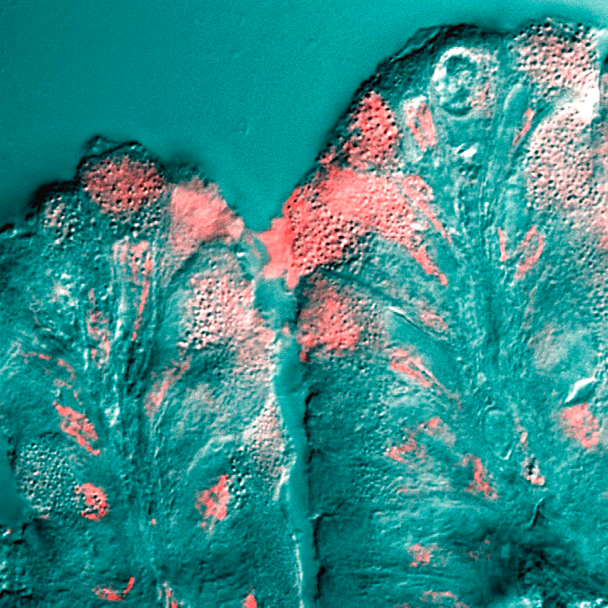
Mucus ( ) is a slippery aqueous secretion produced by, and covering, mucous membranes. It is typically produced from cells found in mucous glands, although it may also originate from mixed glands, which contain both serous and mucous cells. It is a viscous colloid containing inorganic salts, antimicrobial enzymes (such as lysozymes), immunoglobulins (especially IgA), and glycoproteins such as lactoferrin and mucins, which are produced by goblet cells in the mucous membranes and submucosal glands. Mucus serves to protect epithelial cells in the linings of the respiratory, digestive, and urogenital systems, and structures in the visual and auditory systems from pathogenic fungi, bacteria and viruses. Most of the mucus in the body is produced in the gastrointestinal tract. Amphibians, fish, snails, slugs, and some other invertebrates also produce external mucus from their epidermis as protection against pathogens, and to help in movement and is also produced in fish to line the ... [...More Info...] [...Related Items...] OR: [Wikipedia] [Google] [Baidu] |
Fish Physiology
Fish physiology is the scientific study of how the component parts of fish function together in the living fish. It can be contrasted with fish anatomy, which is the study of the form or morphology of fishes. In practice, fish anatomy and physiology complement each other, the former dealing with the structure of a fish, its organs or component parts and how they are put together, such as might be observed on the dissecting table or under the microscope, and the later dealing with how those components function together in the living fish. For this, at first we need to know about their intestinal morphology. Respiration Most fish exchange gases using gills on either side of the pharynx (throat). Gills are tissues which consist of threadlike structures called filaments. These filaments have many functions and "are involved in ion and water transfer as well as oxygen, carbon dioxide, acid and ammonia exchange. Each filament contains a capillary network that provides a large ... [...More Info...] [...Related Items...] OR: [Wikipedia] [Google] [Baidu] |
San Jacinto River (Texas)
The San Jacinto River ( , ) flows through southeast Texas. It is named after Hyacinth of Caesarea, Saint Hyacinth. In the past, it was home to the Karankawa and Akokisa tribes. The river begins with a west and east fork; the west fork begins in Walker County, Texas, Walker County, to the west of Huntsville, Texas, Huntsville, and flows southeast through Montgomery County, Texas, Montgomery County, where it is dammed to create Lake Conroe. The east fork begins in San Jacinto County, Texas, San Jacinto County, a few miles west of Lake Livingston, then flows south through Cleveland, Texas, Cleveland. The confluence of the west and east forks occurs in northeast Harris County, Texas, Harris County, where the river is dammed to create Lake Houston. Continuing southward, the river merges with Buffalo Bayou before the mouth of Galveston Bay, forming part of the Houston Ship Channel. The Battle of San Jacinto was fought near the rain-swollen Buffalo Bayou in what is now Harris Count ... [...More Info...] [...Related Items...] OR: [Wikipedia] [Google] [Baidu] |
Ochlockonee River
The Ochlockonee River ( ) is a fast running river, except where it has been dammed to form Lake Talquin in Florida, originating in Georgia and flowing for before terminating in Florida. Background The name is from the Hitchiti language words for yellow river. The Ochlockonee originates south of the town of Sylvester in Worth County in southwest Georgia and empties into Ochlockonee Bay and then Apalachee Bay in Florida. The river forms the western boundaries of Leon County and Wakulla County and eastern boundaries of Gadsden County, Liberty County, and Franklin County in Florida. It flows through the Red Hills, the Jackson Bluff Dam, Talquin State Forest, Lake Talquin State Park and the Apalachicola National Forest, and past Ochlockonee River State Park, where it is tidally influenced and a mixture of fresh, brackish, and salt water, on the way to its terminus in Ochlockonee Bay, which then empties into Apalachee Bay, with tidal influences extending upstream over from ... [...More Info...] [...Related Items...] OR: [Wikipedia] [Google] [Baidu] |
Choctawhatchee Bay
Choctawhatchee Bay is a bay in the Emerald Coast region of the Florida Panhandle. The bay, located within Okaloosa and Walton counties, has a surface area of . It is an inlet of the Gulf of Mexico, connected to it through East Pass (also known as Destin Pass). It also connects to Santa Rosa Sound in Fort Walton Beach, Florida to the west and to St. Andrews Bay in Bay County to the east, via the Gulf Intracoastal Waterway. East Pass is the only outlet of the bay flowing directly into the Gulf of Mexico. The Choctawhatchee River flows into Choctawhatchee Bay, as do several smaller rivers and streams. The Mid-Bay Bridge crosses the bay, connecting the city of Destin to Niceville, Florida. History The bay was charted by Spanish, French, and English expeditions, The bay appears on some charts as "St. Rose's Bay". Following the Treaty of Moultrie Creek, small bands of Creeks lived on the shores of Choctawhatchee Bay. Military Use As noted in a 1993 Eglin AFB report, Test Ar ... [...More Info...] [...Related Items...] OR: [Wikipedia] [Google] [Baidu] |
Tamarac River (Red Lake)
The Tamarac River is a U.S. Geological Survey. National Hydrography Dataset high-resolution flowline dataThe National Map accessed June 8, 2011 tributary of Red Lake in northern Minnesota in the United States. See also * List of rivers of Minnesota References Minnesota Watersheds* *USGS Hydrologic Unit Map - State of Minnesota (1974) Rivers of Minnesota Rivers of Beltrami County, Minnesota {{Minnesota-river-stub ... [...More Info...] [...Related Items...] OR: [Wikipedia] [Google] [Baidu] |
Spruce River
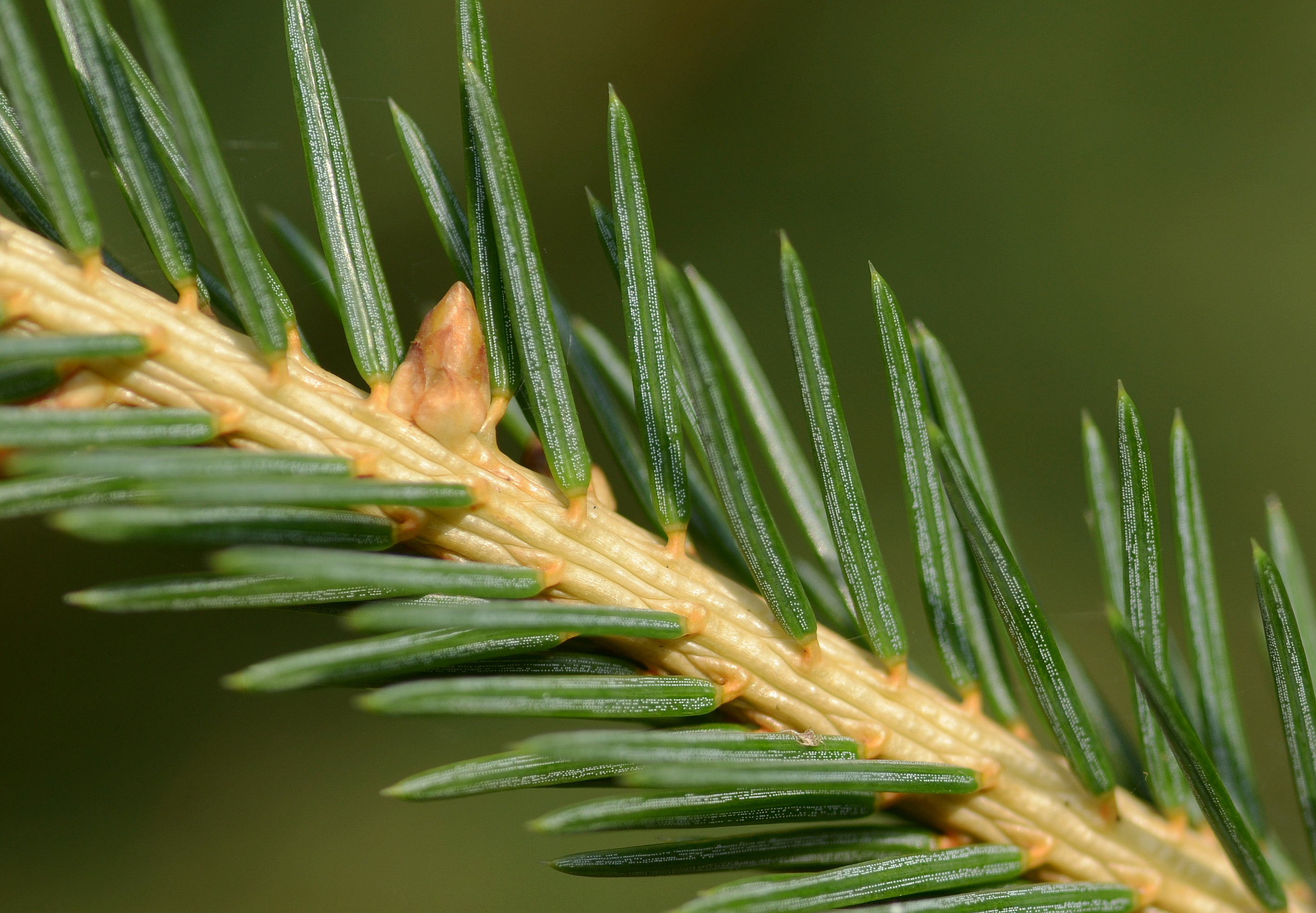
A spruce is a tree of the genus ''Picea'' (), a genus of about 35 species of coniferous evergreen trees in the family Pinaceae, found in the northern temperate and boreal ( taiga) regions of the Earth. ''Picea'' is the sole genus in the subfamily Piceoideae. Spruces are large trees, from about 20 to 60 m (about 60–200 ft) tall when mature, and have whorled branches and conical form. They can be distinguished from other members of the pine family by their needles (leaves), which are four-sided and attached singly to small persistent peg-like structures ( pulvini or sterigmata) on the branches, and by their cones (without any protruding bracts), which hang downwards after they are pollinated. The needles are shed when 4–10 years old, leaving the branches rough with the retained pegs. In other similar genera, the branches are fairly smooth. Spruce are used as food plants by the larvae of some Lepidoptera (moth and butterfly) species, such as the eastern spruce ... [...More Info...] [...Related Items...] OR: [Wikipedia] [Google] [Baidu] |
Neches River
The Neches River () begins in Van Zandt County west of Rhine Lake and flows for through the piney woods of east Texas, defining the boundaries of 14 counties on its way to its mouth on Sabine Lake near the Rainbow Bridge. Two major reservoirs, Lake Palestine and B. A. Steinhagen Reservoir are located on the Neches. The Angelina River (containing Sam Rayburn Reservoir) is a major tributary with its confluence at the north of Lake B. A. Steinhagen. Tributaries to the south include Village Creek and Pine Island Bayou, draining much of the Big Thicket region, both joining the Neches a few miles north of Beaumont. Towns and cities located along the river including Tyler, Lufkin, and Silsbee, although significant portions of the Neches River are undeveloped and flow through protected natural lands.Phillips, Bob, (foreword). 2008. The Roads of Texas. MAPSCO Inc. Addison, Texas. 176 pp. In contrast, the lower 40 miles of the river are a major shipping channel, highly industrialized, w ... [...More Info...] [...Related Items...] OR: [Wikipedia] [Google] [Baidu] |
Sabine River (Texas–Louisiana)
The Sabine River () is a long riverU.S. Geological Survey. National Hydrography Dataset high-resolution flowline dataThe National Map accessed June 20, 2011 in the Southern U.S. states of Texas and Louisiana, From the 32nd parallel north and downstream, it serves as part of the boundary between the two states and empties into Sabine Lake, an estuary of the Gulf of Mexico. Over the first half of the 19th century, the river formed part of the Spanish–American, Mexican–American, and Texan–American international boundaries. The upper reaches of the river flow through the prairie country of northeast Texas. Along much of its lower reaches, it flows through pine forests along the Texas–Louisiana border, and eventually the bayou country near the Gulf Coast. The river drains an area of , of which are in Texas and in Louisiana. It flows through an area of abundant rainfall and discharges the largest volume of any river in Texas. The name Sabine ( es: ''Río de Sabinas'') ... [...More Info...] [...Related Items...] OR: [Wikipedia] [Google] [Baidu] |
.jpg)


