|
South San Francisco (BART Station)
South San Francisco station is a Bay Area Rapid Transit (BART) station located in South San Francisco, California in northern San Mateo County. It consists of two main tracks and a shared underground island platform. The station forms the current northern terminus of the Centennial Way Trail. Service at the station began on June 22, 2003 as part of the BART San Mateo County Extension project that extended BART service southward from Colma to Millbrae and San Francisco International Airport. Bus connections SamTrans SamTrans (stylized as samTrans; officially the San Mateo County Transit District) is a public transport agency in and around San Mateo, California, in the San Francisco Bay Area. It provides bus service throughout San Mateo County and into port ... bus routes , and stop in the busway on the west side of the station. Route stops on El Camino Real west of the station. Route stops at the corner of Mission Road and Evergreen Drive on the east side of the st ... [...More Info...] [...Related Items...] OR: [Wikipedia] [Google] [Baidu] |
South San Francisco, California
South San Francisco is a city in San Mateo County, California, United States, located on the San Francisco Peninsula in the San Francisco Bay Area. The city is colloquially known as "South City". The population was 66,105 at the 2020 census. History Prior to European exploration, the northern San Francisco peninsula was inhabited by the Ramaytush, a linguistic sub-group of the Ohlone people. Their village of Urebure on San Bruno Creek was visited by the Gaspar de Portolà expedition in 1769; remains of long-term (5,000+ years) inhabitancy and seasonal encampments have been examined at the Siplichiquin and Buckeye shell-mounds on San Bruno Mountain. Charcoal-sampling indicates these 3,000+ year old sites may have been actively occupied early in the Spanish colonial period (late 1700s). The delta of Colma Creek was formerly an important habitat for the waterfowl known to be hunted by the Ramaytush in historic times, and archaeologic sites have been recorded near the creek. ... [...More Info...] [...Related Items...] OR: [Wikipedia] [Google] [Baidu] |
Colma Station
Colma station is a Bay Area Rapid Transit (BART) station located in unincorporated northern San Mateo County, California adjacent to the incorporated town of Colma and city of Daly City. Colma station is situated in a small valley shared with BART's Daly City Yard and a large parking garage. The station has three tracks, with an island platform between the two eastern tracks and a side platform next to the western track. Only the two eastern tracks are used for revenue service. History Colma was previously served by the Southern Pacific Railroad until passenger trains were discontinued in the early 1900s. The right of way was reused to construct the Daly City BART turn back in the late 1980s and then the extension further into San Mateo County. The BART station opened on February 24, 1996 as the southernmost extent of the BART system on the San Francisco Peninsula until the extension to San Francisco International Airport and Millbrae opened in 2003. The station was "pro ... [...More Info...] [...Related Items...] OR: [Wikipedia] [Google] [Baidu] |
Stations On The Red Line (BART)
Station may refer to: Agriculture * Station (Australian agriculture), a large Australian landholding used for livestock production * Station (New Zealand agriculture), a large New Zealand farm used for grazing by sheep and cattle ** Cattle station, a cattle-rearing station in Australia or New Zealand **Sheep station, a sheep-rearing station in Australia or New Zealand Communications * Radio communication station, a radio frequency communication station of any kind, including audio, TV, and non-broadcast uses ** Radio broadcasting station, an audio station intended for reception by the general public ** Amateur radio station, a station operating on frequencies allocated for ham or other non-commercial use ** Broadcast relay station ** Ground station (or Earth station), a terrestrial radio station for extraplanetary telecommunication with satellites or spacecraft ** Television station * Courier station, a relay station in a courier system ** Station of the ''cursus publicus'', a ... [...More Info...] [...Related Items...] OR: [Wikipedia] [Google] [Baidu] |
Stations On The Yellow Line (BART)
Station may refer to: Agriculture * Station (Australian agriculture), a large Australian landholding used for livestock production * Station (New Zealand agriculture), a large New Zealand farm used for grazing by sheep and cattle ** Cattle station, a cattle-rearing station in Australia or New Zealand **Sheep station, a sheep-rearing station in Australia or New Zealand Communications * Radio communication station, a radio frequency communication station of any kind, including audio, TV, and non-broadcast uses ** Radio broadcasting station, an audio station intended for reception by the general public ** Amateur radio station, a station operating on frequencies allocated for ham or other non-commercial use ** Broadcast relay station ** Ground station (or Earth station), a terrestrial radio station for extraplanetary telecommunication with satellites or spacecraft ** Television station * Courier station, a relay station in a courier system ** Station of the ''cursus publicus'', a ... [...More Info...] [...Related Items...] OR: [Wikipedia] [Google] [Baidu] |
Bay Area Rapid Transit Stations In San Mateo County, California
A bay is a recessed, coastal body of water that directly connects to a larger main body of water, such as an ocean, a lake, or another bay. A large bay is usually called a gulf, sea, sound, or bight. A cove is a small, circular bay with a narrow entrance. A fjord is an elongated bay formed by glacial action. A bay can be the estuary of a river, such as the Chesapeake Bay, an estuary of the Susquehanna River. Bays may also be nested within each other; for example, James Bay is an arm of Hudson Bay in northeastern Canada. Some large bays, such as the Bay of Bengal and Hudson Bay, have varied marine geology. The land surrounding a bay often reduces the strength of winds and blocks waves. Bays may have as wide a variety of shoreline characteristics as other shorelines. In some cases, bays have beaches, which "are usually characterized by a steep upper foreshore with a broad, flat fronting terrace".Maurice Schwartz, ''Encyclopedia of Coastal Science'' (2006), p. 129. Bays were sig ... [...More Info...] [...Related Items...] OR: [Wikipedia] [Google] [Baidu] |
California State Route 82
State Route 82 (SR 82) is a state highway in the U.S. state of California that runs from Interstate 880 (I-880) in San Jose to I-280 in San Francisco following the San Francisco Peninsula. It is the spinal arterial road of the peninsula and runs parallel to the nearby Caltrain line along much of the route. For much of its length, the highway is named ''El Camino Real'' and formed part of the historic El Camino Real mission trail. It passes through and near the historic downtowns of many Peninsula cities, including Burlingame, San Mateo, Redwood City, Menlo Park, Palo Alto, Mountain View, and Sunnyvale, and through some of the most walkable and transit-oriented neighborhoods in the region. Route description At its south end SR 82 starts as The Alameda at I-880 in San Jose. Once it enters Santa Clara, it bends north-east around Santa Clara University and onto El Camino Real, where it continues for the remainder of its trip up the San Francisco Peninsula, paralleling the ... [...More Info...] [...Related Items...] OR: [Wikipedia] [Google] [Baidu] |
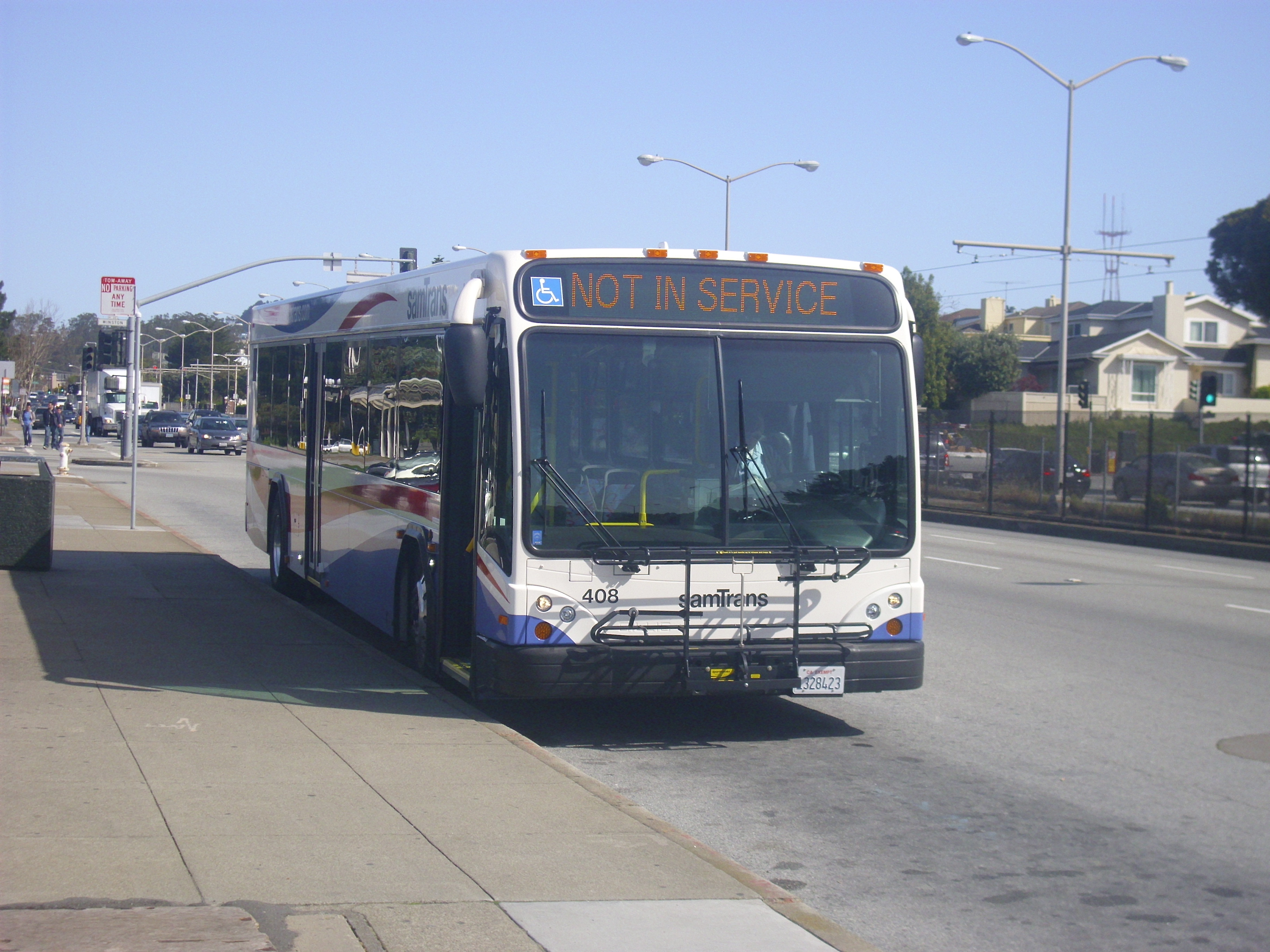
SamTrans Route 130 Bus At South San Francisco Station, June 2018
SamTrans (stylized as samTrans; officially the San Mateo County Transit District) is a public transport agency in and around San Mateo, California, in the San Francisco Bay Area. It provides bus service throughout San Mateo County and into portions of San Francisco and Palo Alto. SamTrans also operates commuter shuttles to BART stations and community shuttles. Service is largely concentrated on the east side of the Santa Cruz Mountains, and, in the central county, I-280, leaving coast-side service south of Pacifica spotty and intermittent. SamTrans is constituted as a special district under California state law. It is governed by a board of nine appointed members; two county Supervisors, one "transportation expert" appointed by the county Board of Supervisors, three city council members appointed by the cities in the county to represent the county's judicial districts, and three citizens appointed by the other six board members (including one from the coastside). The distri ... [...More Info...] [...Related Items...] OR: [Wikipedia] [Google] [Baidu] |
San Francisco International Airport Station
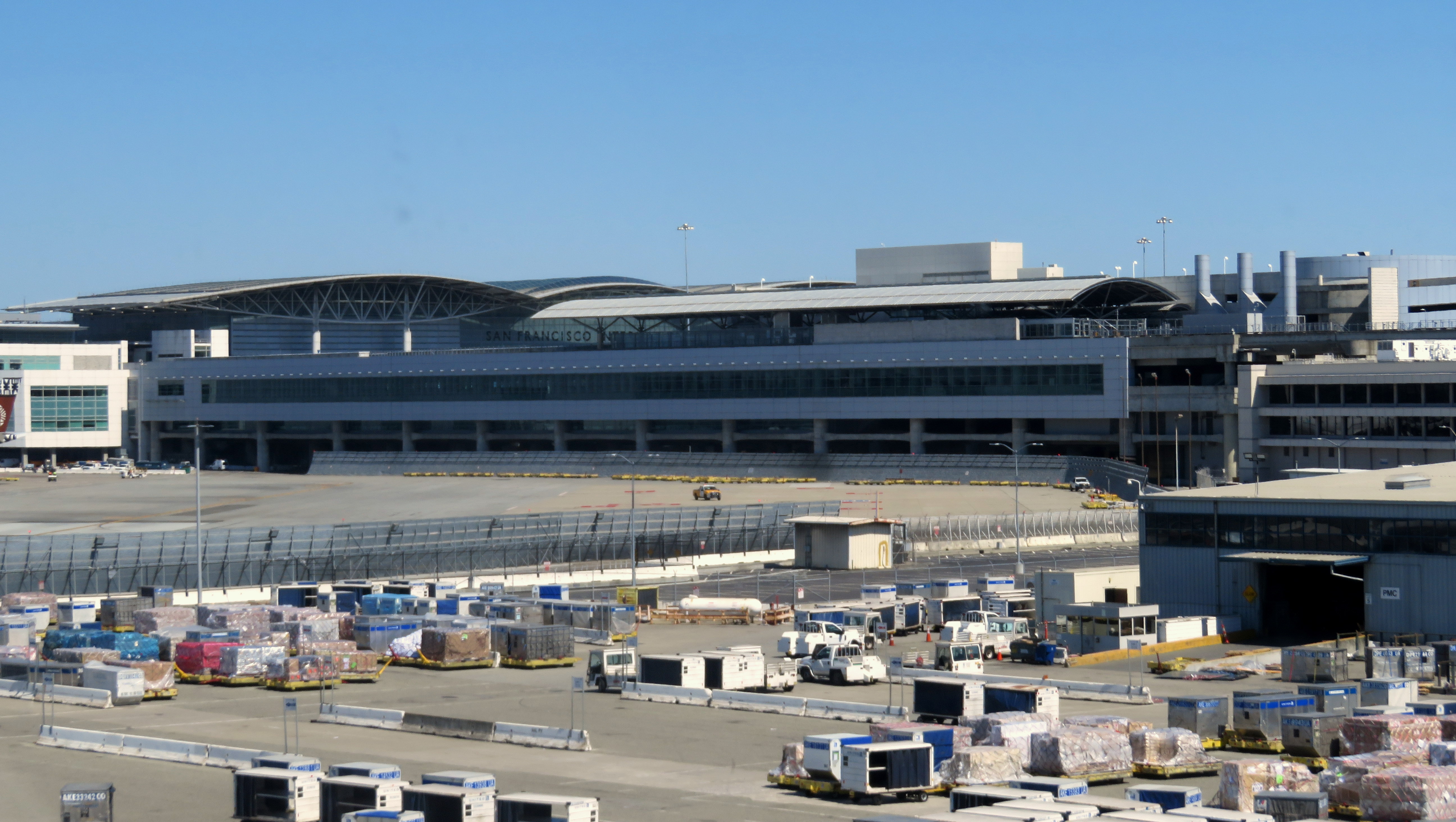
San Francisco International Airport station (often abbreviated SFO or SFIA) is a Bay Area Rapid Transit (BART) terminal station located adjacent to Garage G inside the San Francisco International Airport. The elevated station is a transfer point to the AirTrain people mover system at Garage G/BART station. The station opened for AirTrain service in February 2003, with BART service beginning that June. After several service changes between 2003 and 2022, the station is served by the at all operating hours and the until 9 pm. Station layout San Francisco International Airport station is an elevated structure about wide and long. It is located on the northwest side of the group of terminals; the west half of the station is adjacent to Garage G, while its east end connects to the north end of the International Terminal. A stub-end terminal station, the BART level has three tracks served by two island platforms. An elevated wye and crossovers to the west of the station allow t ... [...More Info...] [...Related Items...] OR: [Wikipedia] [Google] [Baidu] |
Millbrae Station
Millbrae station is an intermodal transit station serving Bay Area Rapid Transit (BART) and Caltrain, located in Millbrae, California. The station is the terminal station for BART on the San Francisco Peninsula, served by two lines: The before 9 pm and the evenings. It is served by all Caltrain service. The station is also served by SamTrans bus service, Commute.org and Caltrain shuttle buses, and other shuttles. Rail service to the area began with 17 Mile House station, which opened in 1864 on land deeded by Darius Ogden Mills; it was renamed Millbrae the next year. The station was rebuilt in 1890 and 1907 after twice burning down. The 1907-built station was threatened with demolition in 1976, but was added to the National Register of Historic Places in 1978. A modern intermodal terminal opened in 2002, connecting BART and Caltrain for the first time. The older station building was restored for use as a railway museum, which opened in 2004. Station layout Millbrae station h ... [...More Info...] [...Related Items...] OR: [Wikipedia] [Google] [Baidu] |
San Mateo County, California
San Mateo County ( ), officially the County of San Mateo, is a county (United States), county located in the U.S. state of California. As of the 2020 United States Census, 2020 census, the population was 764,442. Redwood City, California, Redwood City is the county seat, and the third most populated city following Daly City, California, Daly City and San Mateo, California, San Mateo. San Mateo County is included in the San Francisco-Oakland-Berkeley, CA MSA (metropolitan statistical area), Silicon Valley, and is part of the San Francisco Bay Area, the nine counties bordering San Francisco Bay. It covers most of the San Francisco Peninsula. San Francisco International Airport is located in the northeastern area of the county and is approximately 7 miles south of the city and county limits of San Francisco, even though the airport itself is assigned a San Francisco United States Postal Service, postal address. The county's built-up areas are mostly suburban, and are home to sever ... [...More Info...] [...Related Items...] OR: [Wikipedia] [Google] [Baidu] |
San Francisco Bay Area Rapid Transit District
The San Francisco Bay Area Rapid Transit District, or BART, is a special-purpose district body that governs the Bay Area Rapid Transit system in the California counties of Alameda, Contra Costa and San Francisco. The system itself also serves northern San Mateo County and Santa Clara County; however, these counties have bought into the system and have neither a voting stake nor any representatives in the district proper. The District currently operates 50 stations, 817 rail cars, 131 miles of track (33.5 miles on elevated railway, 65.1 miles of track at-grade and 32.8 miles of subway track.) History The San Francisco Bay Area Rapid Transit District (occasionally abbreviated in early years to BARTD) was created in 1957 to provide a transit alternative between suburbs in the East Bay and job centers in San Francisco's Financial District as well as (to a lesser extent) those in Downtown Oakland and Downtown Berkeley. Of the six Bay Area counties initially envisioned as participant ... [...More Info...] [...Related Items...] OR: [Wikipedia] [Google] [Baidu] |
Metro Station
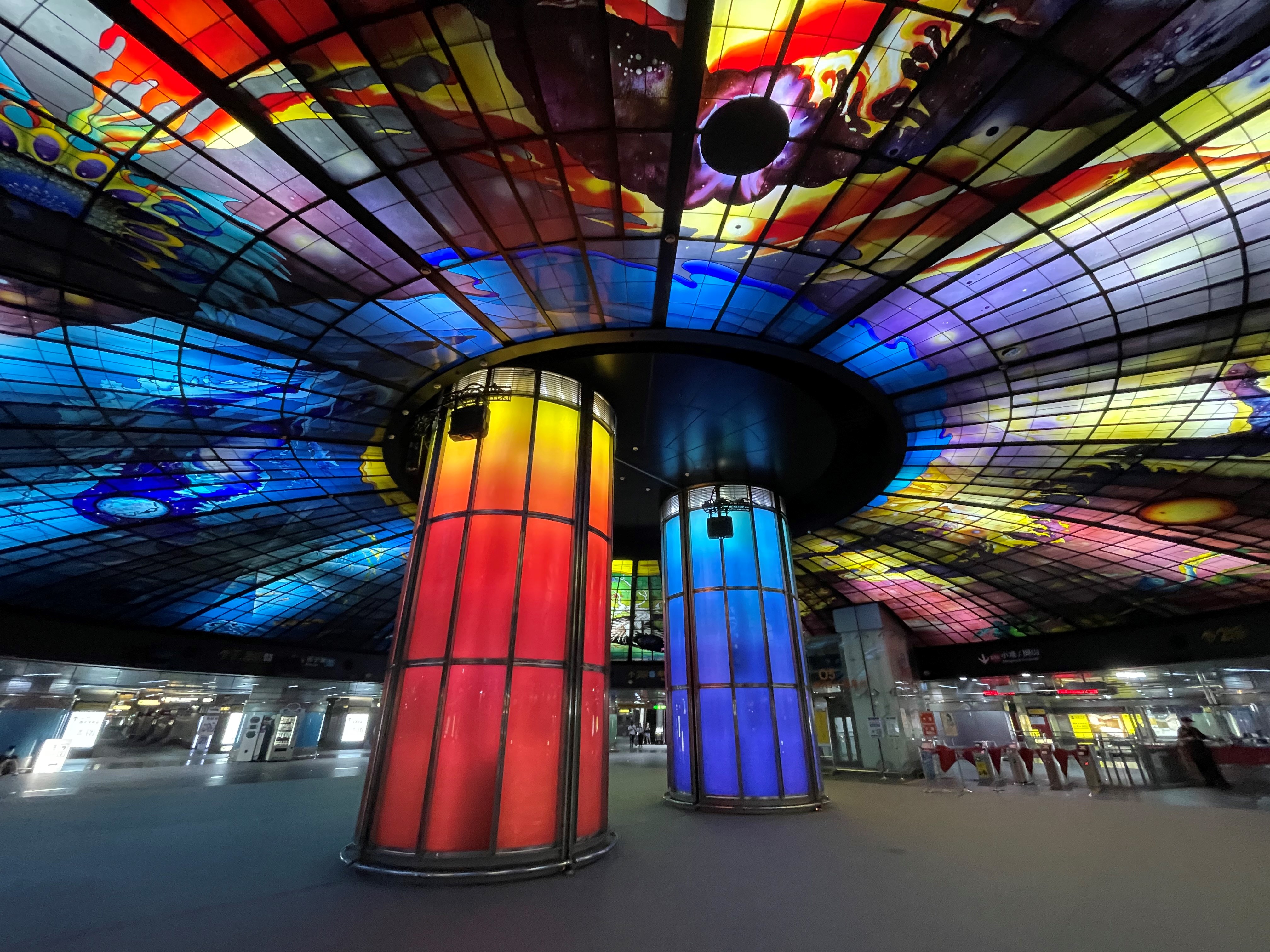
A metro station or subway station is a station for a rapid transit system, which as a whole is usually called a "metro" or "subway". A station provides a means for passengers to purchase Train ticket, tickets, board trains, and Emergency evacuation, evacuate the system in the case of an emergency. In the United Kingdom, they are known as underground stations, most commonly used in reference to the London Underground. Location The location of a metro station is carefully planned to provide easy access to important urban facilities such as roads, commercial centres, major buildings and other Transport hub, transport nodes. Most stations are located underground, with entrances/exits leading up to ground or street level. The bulk of the station is typically positioned under land reserved for public thoroughfares or Urban park, parks. Placing the station underground reduces the outside area occupied by the station, allowing vehicles and pedestrians to continue using the ground-le ... [...More Info...] [...Related Items...] OR: [Wikipedia] [Google] [Baidu] |


