|
South Central, Tennessee
South Central (also known as Mount Carmel) is an unincorporated community in southwestern Washington County, Tennessee. It is located on Tennessee State Routes 107 and 353 southeast of the city of Tusculum and south of the town of Jonesborough. Recreation The community has a small park with a ball field, playground and pavilion called South Central Ruritan Park. Postal service South Central does not have a post office or its own zip code. It shares a zip code with Chuckey, Tennessee Chuckey is an unincorporated community in Greene County, Tennessee. It is located on the Nolichucky River, from which its name is derived. The community is the site of a post office and is assigned zip code 37641. History The defunct East Tennes ... (37641). Education South Central/Mount Carmel is home to South Central Elementary School. References Unincorporated communities in Washington County, Tennessee Unincorporated communities in Tennessee {{WashingtonCountyTN-geo-stub ... [...More Info...] [...Related Items...] OR: [Wikipedia] [Google] [Baidu] |
Unincorporated Community
An unincorporated area is a region that is not governed by a local municipal corporation. Widespread unincorporated communities and areas are a distinguishing feature of the United States and Canada. Most other countries of the world either have no unincorporated areas at all or these are very rare: typically remote, outlying, sparsely populated or uninhabited areas. By country Argentina In Argentina, the provinces of Chubut, Córdoba, Entre Ríos, Formosa, Neuquén, Río Negro, San Luis, Santa Cruz, Santiago del Estero, Tierra del Fuego, and Tucumán have areas that are outside any municipality or commune. Australia Unlike many other countries, Australia has only one level of local government immediately beneath state and territorial governments. A local government area (LGA) often contains several towns and even entire metropolitan areas. Thus, aside from very sparsely populated areas and a few other special cases, almost all of Australia is part of an LGA. Uninc ... [...More Info...] [...Related Items...] OR: [Wikipedia] [Google] [Baidu] |
Washington County, Tennessee
Washington County is a county located in the U.S. state of Tennessee. As of the 2020 census, the population was 133,001. Its county seat is Jonesborough. The county's largest city and a regional educational, medical and commercial center is Johnson City. Washington County is Tennessee's oldest county, having been established in 1777 when the state was still part of North Carolina. Washington County is part of the Johnson City, TN Metropolitan Statistical Area, which is a component of the Johnson City– Kingsport–Bristol, TN- VA Combined Statistical Area, commonly known as the " Tri-Cities" region. History Watauga and the Washington District Washington County is rooted in the Watauga settlements, which were established in the early 1770s in the vicinity of what is now Elizabethton, in adjacent Carter County. At the outbreak of the Revolutionary War in 1776, the Wataugans organized the "Washington District," which was governed by a committee of safety. North C ... [...More Info...] [...Related Items...] OR: [Wikipedia] [Google] [Baidu] |
Tennessee State Route 107
State Route 107 (SR 107) is a state highway in eastern Tennessee, United States. It begins at an intersection with Round Mountain Road south of Del Rio and ends at the North Carolina state line east of Unicoi, where it becomes NC 226. It travels through the incorporated municipalities of Greeneville, Tusculum, Erwin and Unicoi, and the communities of Del Rio, South Greene, Horse Creek, South Central, Lamar, Embreeville and Limestone Cove. Route description Cocke County SR 107 begins as a secondary highway in Cocke County near the North Carolina border at an intersection with Ground Squirrel Road and Round Mountain Road, where the road continues as Round Mountain Road in North Carolina. SR 107 goes northwest through narrow valley and mountains to enter Del Rio, where it crosses a bridge over the French Broad River and becomes concurrent with US 25/US 70/ SR 9. They then go east to leave Del Rio and parallel the river to an intersection where SR 107 splits off and ... [...More Info...] [...Related Items...] OR: [Wikipedia] [Google] [Baidu] |
Tennessee State Route 353
State Route 353 (SR 353) is a state highway in the northeastern portion of the U.S. state of Tennessee, in the area known as the Tri-Cities region. It connects the community of South Central with the town of Jonesborough. Route description SR 353 begins at an intersection with SR 107 in South Central as Bailey Bridge Road. Approximately from SR 107, the route crosses the Nolichucky River. It continues to the community of Washington College, where Bailey Bridge Road ends and SR 353 becomes Old State Route 34. It continues northeast through rural areas to pass through Telford. It meets its northern terminus in Jonesborough, an intersection with SR 81 southwest of downtown. Major intersections History The original designation for SR 353 was State Route 81A (SR 81A), an alternate route of SR 81. But as with most alternate routes that existed within the Tennessee, it was renumbered, which is when it gained its current designation. See also * * * List of state route ... [...More Info...] [...Related Items...] OR: [Wikipedia] [Google] [Baidu] |
Tusculum, Tennessee
Tusculum is a city in Greene County, Tennessee, United States. The population was 3,298 at the 2020 census. It is the site of Tusculum University, the oldest university in Tennessee and the 28th oldest in the United States. Tusculum is a suburb of nearby Greeneville. The population of both Greeneville and Tusculum combined was approximately 18,777 at the 2020 census. Geography Tusculum is located at (36.175697, -82.750728). According to the United States Census Bureau, the city has a total area of , all land. Neighborhoods * Afton * Tusculum Place * Twin Oaks Demographics 2020 census As of the 2020 United States census, there were 3,298 people, 641 households, and 461 families residing in the city. 2000 census At the 2000 census, there were 2,004 people, 590 households and 437 families residing in the city. The population density was . There were 620 housing units at an average density of . The racial makeup of the city was 95.41% White, 3.64% African American, 0.05% Na ... [...More Info...] [...Related Items...] OR: [Wikipedia] [Google] [Baidu] |
Jonesborough, Tennessee
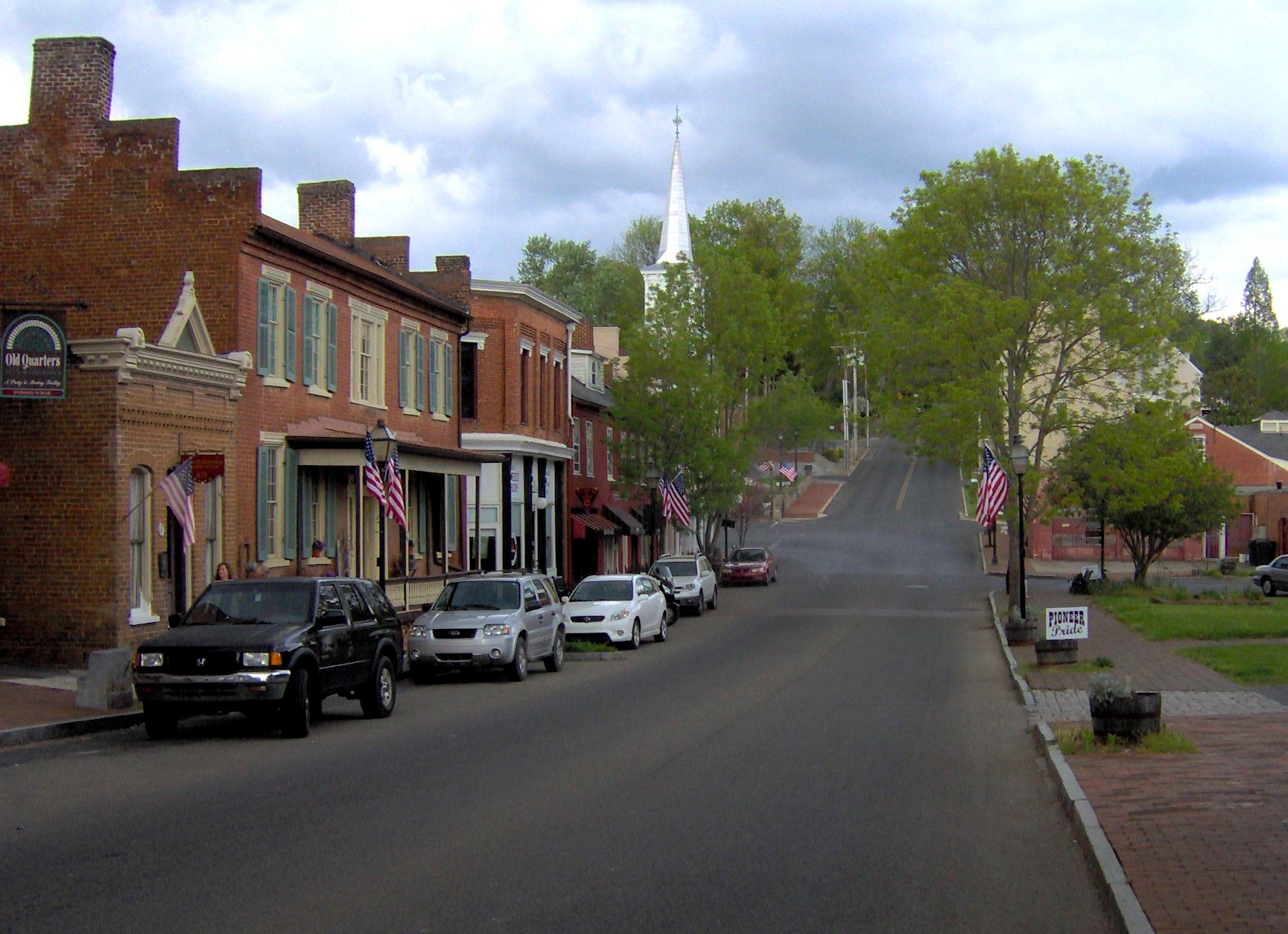
Jonesborough (historically also Jonesboro) is a town in, and the county seat of, Washington County, Tennessee, in the Southeastern United States. Its population was 5,860 as of 2020. It is "Tennessee's oldest town". Jonesborough is part of the Johnson City metropolitan statistical area, which is a component of the Johnson City– Kingsport–Bristol, TN and VA combined statistical area – commonly known as the " Tri-Cities" region. History Located in the far northeast corner of the state, Jonesborough was founded by European Americans in 1779, 17 years before Tennessee became a state and while the area was under the jurisdiction of North Carolina. It was named after North Carolina legislator Willie Jones, who had supported the state's westward expansion across the Appalachian Mountains. The town was renamed "Jonesboro" for a period of time, but it took back its historic spelling. Jonesborough was originally a part of the Washington District. In 1784, it became t ... [...More Info...] [...Related Items...] OR: [Wikipedia] [Google] [Baidu] |
Chuckey, Tennessee
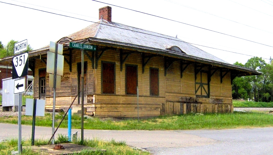
Chuckey is an unincorporated community in Greene County, Tennessee. It is located on the Nolichucky River, from which its name is derived. The community is the site of a post office and is assigned zip code 37641. History The defunct East Tennessee and Virginia Railroad formerly had a station in Chuckey.Molly O'NeillCoveted, French, and Now in Tennessee ''The New York Times'', February 27, 2007 The current brick train depot, built by the Southern Railway in 1906, is listed on the National Register of Historic Places. Several farms in Chuckey that date from the community's earliest settlement in the 18th century are included in the Earnest Farms Historic District, also listed on the National Register. Just past the Earnest Farms Historic District sits an imposing ell-shaped brick mansion known as "Glaze Hall", built 1843–1849 by Lawrence Glaze, Jr.(1784–1849). The house sits on a rise overlooking the Nolichucky River, within sight of the old Smith Bridge.''History of ... [...More Info...] [...Related Items...] OR: [Wikipedia] [Google] [Baidu] |
Unincorporated Communities In Washington County, Tennessee
Unincorporated may refer to: * Unincorporated area, land not governed by a local municipality * Unincorporated entity, a type of organization * Unincorporated territories of the United States, territories under U.S. jurisdiction, to which Congress has determined that only select parts of the U.S. Constitution apply * Unincorporated association Unincorporated associations are one vehicle for people to cooperate towards a common goal. The range of possible unincorporated associations is nearly limitless, but typical examples are: :* An amateur football team who agree to hire a pitch onc ..., also known as voluntary association, groups organized to accomplish a purpose * ''Unincorporated'' (album), a 2001 album by Earl Harvin Trio {{disambig ... [...More Info...] [...Related Items...] OR: [Wikipedia] [Google] [Baidu] |


