|
Slieveanorra Forest
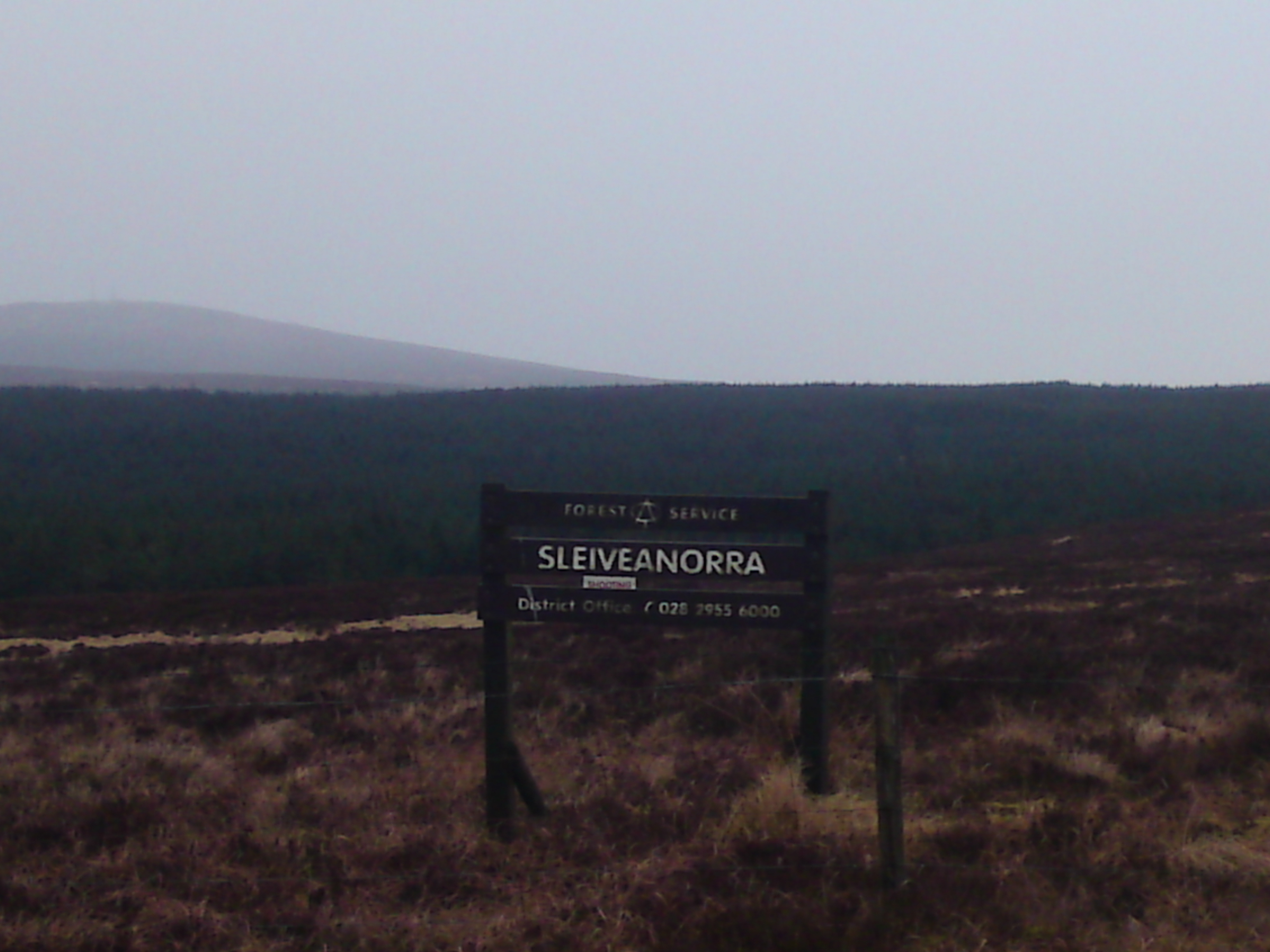
Slieveanorra Forest is situated in the rural north of County Antrim, Northern Ireland, near the villages of Corkey and Newtown Crommelin. It is a vast conifer forest and offers panoramic views. Altnahinch Dam is located on the edge of the forest and many tourists visit the area during the summer. Many types of animal and plant life reside in the area. It is named after Slieveanorra liabh an Earra, 'mountain of the tail/ridge'The Battle of Aura took place on the surrounding mountain Slieve-na-Aura. 1942 airplane crash In October 1942, a U.S. Air Force B17 Flying Fortress bomber crashed into a mountain beside the forest. The crash killed eight of the ten personnel on board. ''Ballymoney Chronicle'' 19 July 2012 [...More Info...] [...Related Items...] OR: [Wikipedia] [Google] [Baidu] |
County Antrim
County Antrim (named after the town of Antrim, ) is one of six counties of Northern Ireland and one of the thirty-two counties of Ireland. Adjoined to the north-east shore of Lough Neagh, the county covers an area of and has a population of about 618,000. County Antrim has a population density of 203 people per square kilometre or 526 people per square mile. It is also one of the thirty-two traditional counties of Ireland, as well as part of the historic province of Ulster. The Glens of Antrim offer isolated rugged landscapes, the Giant's Causeway is a unique landscape and a UNESCO World Heritage Site, Bushmills produces whiskey, and Portrush is a popular seaside resort and night-life area. The majority of Belfast, the capital city of Northern Ireland, is in County Antrim, with the remainder being in County Down. According to the 2001 census, it is currently one of only two counties of the Island of Ireland in which a majority of the population are from a Protestant back ... [...More Info...] [...Related Items...] OR: [Wikipedia] [Google] [Baidu] |
Northern Ireland
Northern Ireland ( ga, Tuaisceart Éireann ; sco, label= Ulster-Scots, Norlin Airlann) is a part of the United Kingdom, situated in the north-east of the island of Ireland, that is variously described as a country, province or region. Northern Ireland shares an open border to the south and west with the Republic of Ireland. In 2021, its population was 1,903,100, making up about 27% of Ireland's population and about 3% of the UK's population. The Northern Ireland Assembly (colloquially referred to as Stormont after its location), established by the Northern Ireland Act 1998, holds responsibility for a range of devolved policy matters, while other areas are reserved for the UK Government. Northern Ireland cooperates with the Republic of Ireland in several areas. Northern Ireland was created in May 1921, when Ireland was partitioned by the Government of Ireland Act 1920, creating a devolved government for the six northeastern counties. As was intended, Northern Ireland ... [...More Info...] [...Related Items...] OR: [Wikipedia] [Google] [Baidu] |
Corkey
Corkey or Corky () is a small village in County Antrim, Northern Ireland. Located 11 miles east of Ballymoney, it is within the Ballymoney Borough Council area, and is at the edge of the Glens of Antrim. The villages of Loughguile and Cloughmills are nearby. It had a population of 202 people (59 households) in the 2011 Census. The Scottish renewable energy company ''Scottish Power Renewables'' operate a ten-windmill wind farm in Corkey. The wind farm is on Slievenahanagh mountain. Local company ''W & J Taggart'' own and run Corkey quarry, supplying stones to local building contractors. ''Yell.com'' and |
Newtown Crommelin
Newtowncrommelin is a small village and civil parish in County Antrim, Northern Ireland. It lies 8 miles north-northeast of Ballymena and is in the Mid and East Antrim Borough Council area. The village of Newtowncrommelin was founded in the townland of Skerry () (now the townlands of Skerry West and Skerry East). Ballymena, Cargan and Martinstown can be viewed from atop of Skerry Rock, which is accessible through private land, alongside the back of the Skerry Inn. Most of the housing developments are situated along the Skerry East, Skerry West, Windy Gap, Tullykittagh and Old Cushendun Roads. See also *List of towns and villages in Northern Ireland This is an alphabetical list of towns and villages in Northern Ireland. For a list sorted by population, see the list of settlements in Northern Ireland by population. The towns of Armagh, Lisburn and Newry are also classed as cities (see city s ... * List of civil parishes of County Antrim References {{authority control ... [...More Info...] [...Related Items...] OR: [Wikipedia] [Google] [Baidu] |
Altnahinch Dam
Altnahinch Dam is a large dam located near Loughguile, County Antrim, Northern Ireland. It is situated on the edge of Slieveanorra Forest in the southern uplands of Glenbush and was constructed in 1967 using stone quarried from the newly founded Corkey Quarry almost 3 miles away. The reservoir is fed from a number of tributaries in the greater Glenbush area, Altnahinch Burn and more famously the River Bush itself which flows from the top of Glenbush, through the reservoir and eventually into the sea at Portballintrae. A little known fact is that there are 15 road Bridge crossings over the River Bush from it birthplace in Glenbush above the Altnahinch Reservoir and the point where it meets the sea in Bushmills. Angling Altnahinch Dam is also known locally as an excellent fishing location as the reservoir is stocked with native brown trout and rainbow trout The rainbow trout (''Oncorhynchus mykiss'') is a species of trout native to cold-water tributaries of the Pacific Ocean ... [...More Info...] [...Related Items...] OR: [Wikipedia] [Google] [Baidu] |
Battle Of Aura
The Battle of Aura (Battle of Slieve-na-Aura), was fought in the middle of the sixteenth century between the MacDonnells, led by Sorley Boy MacDonnell, against the McQuillans and O'Neills, in which the MacQuillans and O'Neills were defeated.Wright, pp. 67–69. Translated, Slieve-an-Aura means ''Hill of Battle'' – the modern spelling is Slieveanorra. The 'Traditional' Account Edward McQuillan mounted an attack against the camp of Sorley Boy near Bonamargy on 4 July 1559, however his attack was repulsed with heavy losses, including his brother Roderick McQuillan, his second in charge. The MacQuillans retreated and Sorley Boy pursued them to their camp on the banks of Glenshesk River which he attacked on 5/6 July and both forces suffered heavy losses, including MacQuillan's other brother Charles McQuillan.Patterson 2008, p90 The McQuillans retreated further and set up camp near Slieve-na-Aura. Hugh MacFelim O'Neill, Prince of the O'Neills of Clandeboy, arrived at the camp of ... [...More Info...] [...Related Items...] OR: [Wikipedia] [Google] [Baidu] |
Slieve-na-Aura
Slieve-na-Aura, also known as Slieveanorra, () is a mountain in County Antrim, Northern Ireland. Situated near the village of Loughguile Loughguile ( ; ), also spelt Loughgiel or Loughgeel, is a village and civil parish in County Antrim, Northern Ireland. Situated 8 miles east of Ballymoney it is within the Causeway Coast and Glens Council area, and is at the edge of the Glens of A ..., the mountain sits above Slieveanorra Forest. References Mountains and hills of County Antrim {{Antrim-geo-stub ... [...More Info...] [...Related Items...] OR: [Wikipedia] [Google] [Baidu] |
B17 Flying Fortress
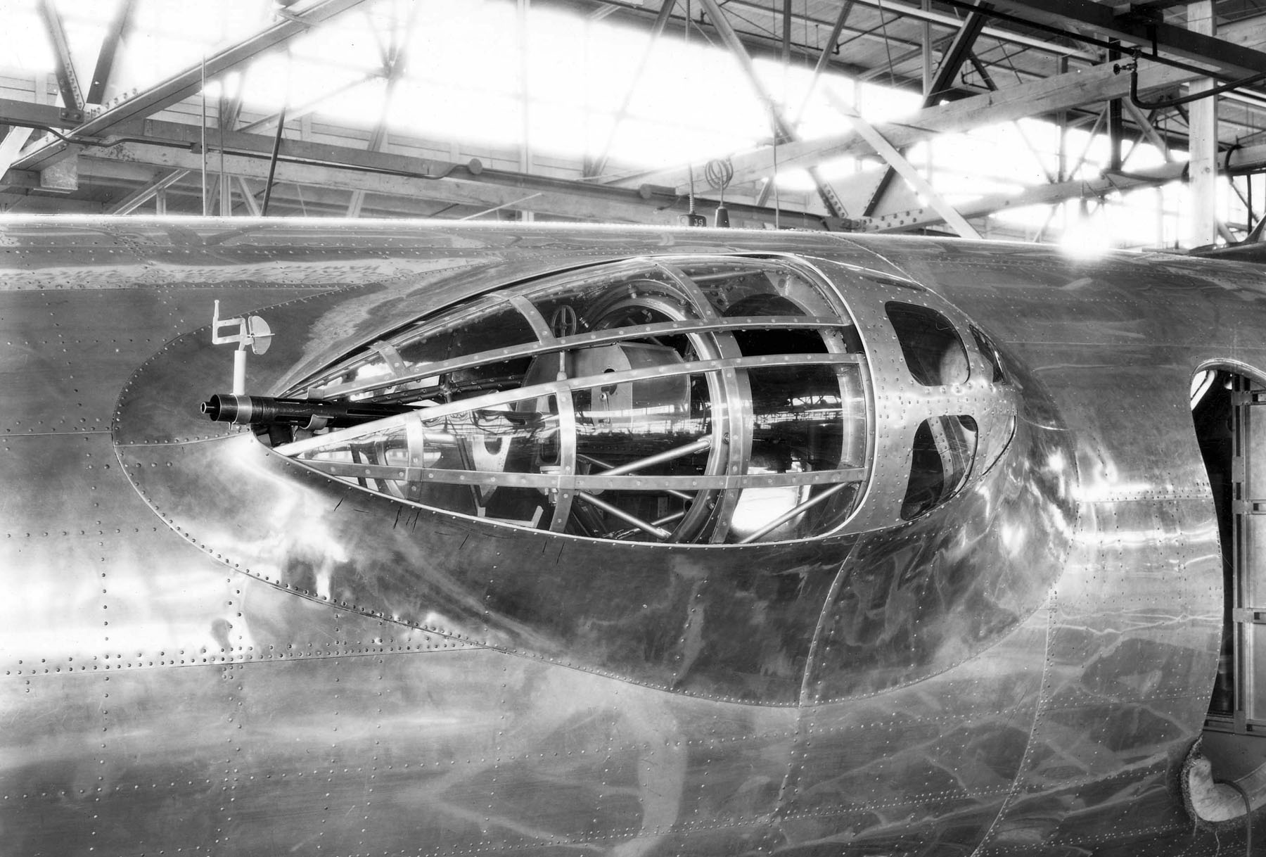
The Boeing B-17 Flying Fortress is a four-engined heavy bomber developed in the 1930s for the United States Army Air Corps (USAAC). Relatively fast and high-flying for a bomber of its era, the B-17 was used primarily in the European Theater of Operations and dropped more bombs than any other aircraft during World War II. It is the third-most produced bomber of all time, behind the four-engined Consolidated B-24 Liberator and the multirole, twin-engined Junkers Ju 88. It was also employed as a transport, antisubmarine aircraft, drone controller, and search-and-rescue aircraft. In a USAAC competition, Boeing's prototype Model 299/XB-17 outperformed two other entries but crashed, losing the initial 200-bomber contract to the Douglas B-18 Bolo. Still, the Air Corps ordered 13 more B-17s for further evaluation, then introduced it into service in 1938. The B-17 evolved through numerous design advances but from its inception, the USAAC (later, the USAAF) promoted the aircraft ... [...More Info...] [...Related Items...] OR: [Wikipedia] [Google] [Baidu] |
Forest Service Northern Ireland
The Forest Service Northern Ireland is an executive agency of the Department of Agriculture and Rural Development entrusted with the development of forestry and the management of forests in Northern Ireland. It was created on 1 April 1998. The Forest Service holds headquarters at Inishkeen House in Enniskillen and forest offices in Castlewellan and Garvagh Garvagh ( or ''Garbhachadh'' meaning "rough field") is a village in County Londonderry, Northern Ireland. It is on the banks of the Agivey River, south of Coleraine on the A29 route. In the 2001 Census it had a population of 1,288. It is situ .... It manages 62,000 hectares of forest and employs 205 people. References ;Inline ;Other * Northern Ireland Executive Forestry agencies in the United Kingdom Organisations based in Belfast Rural society in the United Kingdom 1998 establishments in Northern Ireland Forests and woodlands of Northern Ireland Forestry in Ireland {{NorthernIreland-org-stub ... [...More Info...] [...Related Items...] OR: [Wikipedia] [Google] [Baidu] |
Forests And Woodlands Of Northern Ireland
A forest is an area of land dominated by trees. Hundreds of definitions of forest are used throughout the world, incorporating factors such as tree density, tree height, land use, legal standing, and ecological function. The United Nations' Food and Agriculture Organization (FAO) defines a forest as, "Land spanning more than 0.5 hectares with trees higher than 5 meters and a canopy cover of more than 10 percent, or trees able to reach these thresholds ''in situ''. It does not include land that is predominantly under agricultural or urban use." Using this definition, '' Global Forest Resources Assessment 2020'' (FRA 2020) found that forests covered , or approximately 31 percent of the world's land area in 2020. Forests are the predominant terrestrial ecosystem of Earth, and are found around the globe. More than half of the world's forests are found in only five countries (Brazil, Canada, China, Russia, and the United States). The largest share of forests (45 percent) are in th ... [...More Info...] [...Related Items...] OR: [Wikipedia] [Google] [Baidu] |


