|
Slagle Ridge
Slagle Ridge () is a high and massive snow-covered ridge between Slone Glacier and Burnette Glacier in the Admiralty Mountains, Victoria Land, Antarctica. Exploration and name Slagle Ridge was mapped by the United States Geological Survey (USGS) from surveys and United States Navy air photos, 1960–63. It was named by the United States Advisory Committee on Antarctic Names (US-ACAN) for Captain Thomas D. Slagle, U.S. Navy, Chief Medical Officer at Little America V in 1958. Location The Slagle Ridge extends northwest-southeast between the Slone Glacier and Burnette Glacier, both tributaries of the Moubray Glacier, which flows down the west side of the Adare Peninsula. The Murray Glacier originates to the north of the ridge. It is east of Mount Sabine, Mount Von Braun and Mount Whewell, and southwest of Mount Robinson and Mount Ruegg. Nearby features Mount Sabine . A prominent, relatively snow-free mountain rising to high between the heads of Murray Glacier and Burnette ... [...More Info...] [...Related Items...] OR: [Wikipedia] [Google] [Baidu] |
Admiralty Mountains
The Admiralty Mountains (alternatively Admiralty Range) is a large group of high mountains and individually named ranges and ridges in northeastern Victoria Land, Antarctica. This mountain group is bounded by the Ross Sea, the Southern Ocean, and by the Dennistoun, Ebbe, and Tucker glaciers. The mountain range is situated on the Pennell Coast, a portion of Antarctica lying between Cape Williams and Cape Adare. It was discovered in January 1841 by Captain James Ross, who named them for the Lords Commissioners of the Admiralty under whose orders he served. The Admiralty Mountains are divided into the Dunedin Range, Homerun Range, and Lyttelton Range. Mountains and peaks This range includes the following mountains and peaks: Mount Achilles Mount Achilles is a prominent pyramidal mountain rising from the divide between Fitch Glacier and Man-o-War Glacier. Named by New Zealand Geological Survey Antarctic Expedition (NZGSAE), 1957–58, after the former New Zealand cruiser ... [...More Info...] [...Related Items...] OR: [Wikipedia] [Google] [Baidu] |
Adare Peninsula
The Adare Peninsula, sometimes called the Cape Adare Peninsula, is a high ice-covered peninsula, long, in the northeast part of Victoria Land, extending south from Cape Adare to Cape Roget. The peninsula is considered the southernmost point of the Borchgrevink Coast, named for Carsten Borchgrevink (1864-1934). The peninsula was named by the New Zealand Antarctic Place-Names Committee (NZ-APC) for Cape Adare. The Adare Peninsula consists of overlapping shield volcanoes that have been potassium–argon dated 6 to 13 million years old. Potassium–argon dates of 2.27 million years and perhaps 1.14 million years have also been obtained. The Adare Peninsula shields form part of the Hallett Volcanic Province of the McMurdo Volcanic Group. Named features West coast Cape Adare is a prominent cape of black basalt forming the northern tip of the Adare Peninsula and the north-easternmost extremity of Victoria Land. On the west side of the peninsula is Ridley Beach, a cupsate be ... [...More Info...] [...Related Items...] OR: [Wikipedia] [Google] [Baidu] |
New Zealand Antarctic Place-Names Committee
New Zealand Antarctic Place-Names Committee (NZ-APC) is an adjudicating committee established to authorize the naming of features in the Ross Dependency on the Antarctic continent. It is composed of the members of the New Zealand Geographic Board plus selected specialists on Antarctica. This committee works in collaboration with similar place-naming authorities in Australia, Great Britain and the United States to reach concurrence on each decision. The NZ-APC committee was established in 1956. Names attributed by the committee * Alberich Glacier, named after Alberich, king of the elves and chief of the Nibelungen * Arena Saddle, named in conjunction with Arena Valley * Brawhm Pass, named after the six party members of the University of New South Wales expeditions of 1964–65 and 1966–67 * Caliper Cove, named for descriptive features * Canada Stream, named in conjunction with Canada Glacier * Cape Crossfire, named for descriptive features * Cuneiform Cliffs, named for des ... [...More Info...] [...Related Items...] OR: [Wikipedia] [Google] [Baidu] |
Thomas Romney Robinson
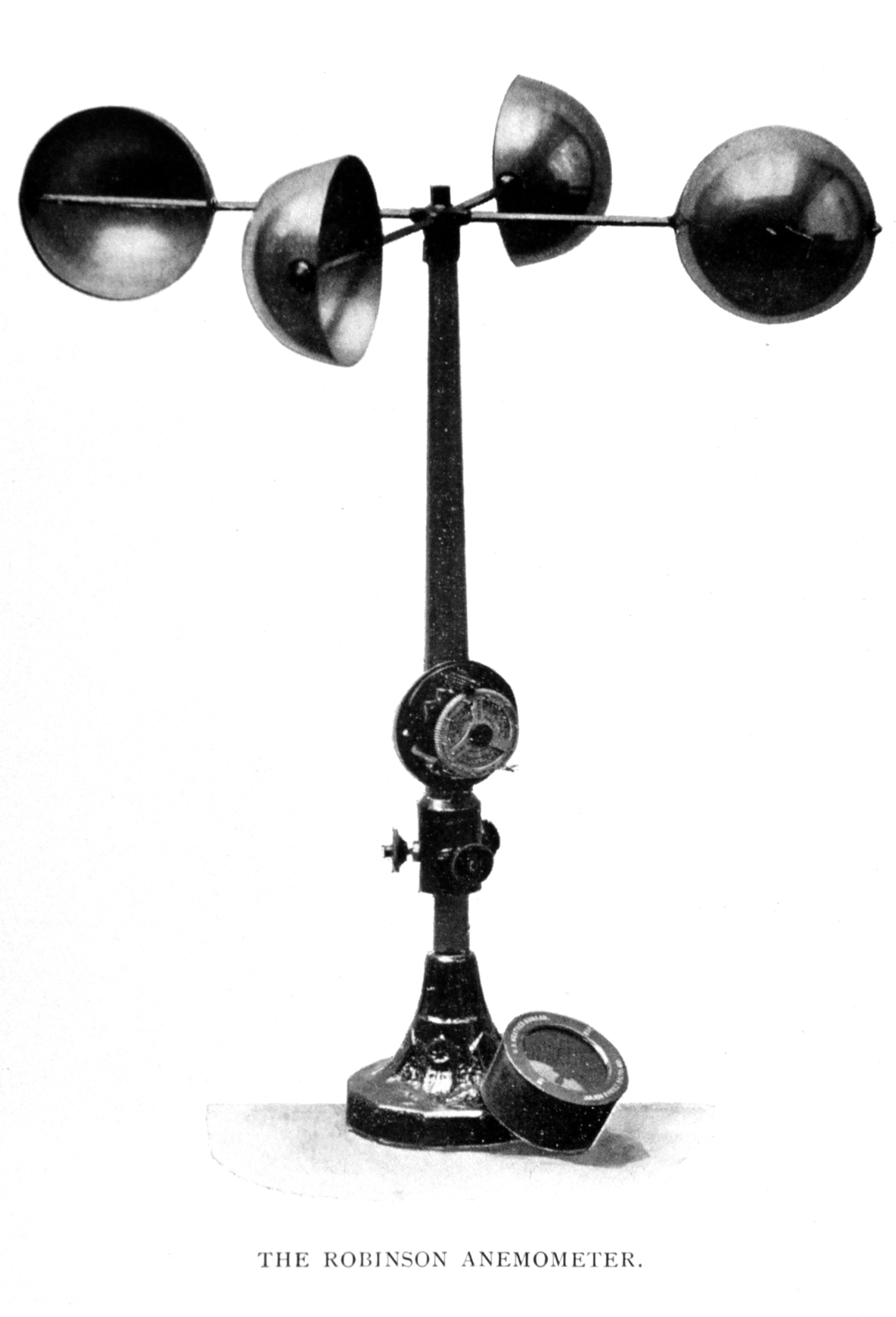
John Thomas Romney Robinson FRS FRSE (23 April 1792 – 28 February 1882), usually referred to as Thomas Romney Robinson, was a 19th-century Irish astronomer and physicist. He was the longtime director of the Armagh Astronomical Observatory, one of the chief astronomical observatories in the UK of its time. He is remembered as inventor of the 4-cup anemometer. Biography Robinson was born at St Anne's in Dublin, the son of the English portrait painter Thomas Robinson (d. 1810) and his wife, Ruth Buck (d. 1826). He was educated at Belfast Academy then studied Divinity at Trinity College Dublin, where he was elected a Scholar in 1808, graduating BA in 1810 and obtaining a fellowship in 1814, at the age of 22. He was for some years a deputy professor of natural philosophy (physics) at Trinity. Having been also ordained as an Anglican priest while at Trinity, he obtained the church livings of the Anglican Church at Enniskillen and at Carrickmacross in 1824. In 1823, now ag ... [...More Info...] [...Related Items...] OR: [Wikipedia] [Google] [Baidu] |
James Clark Ross
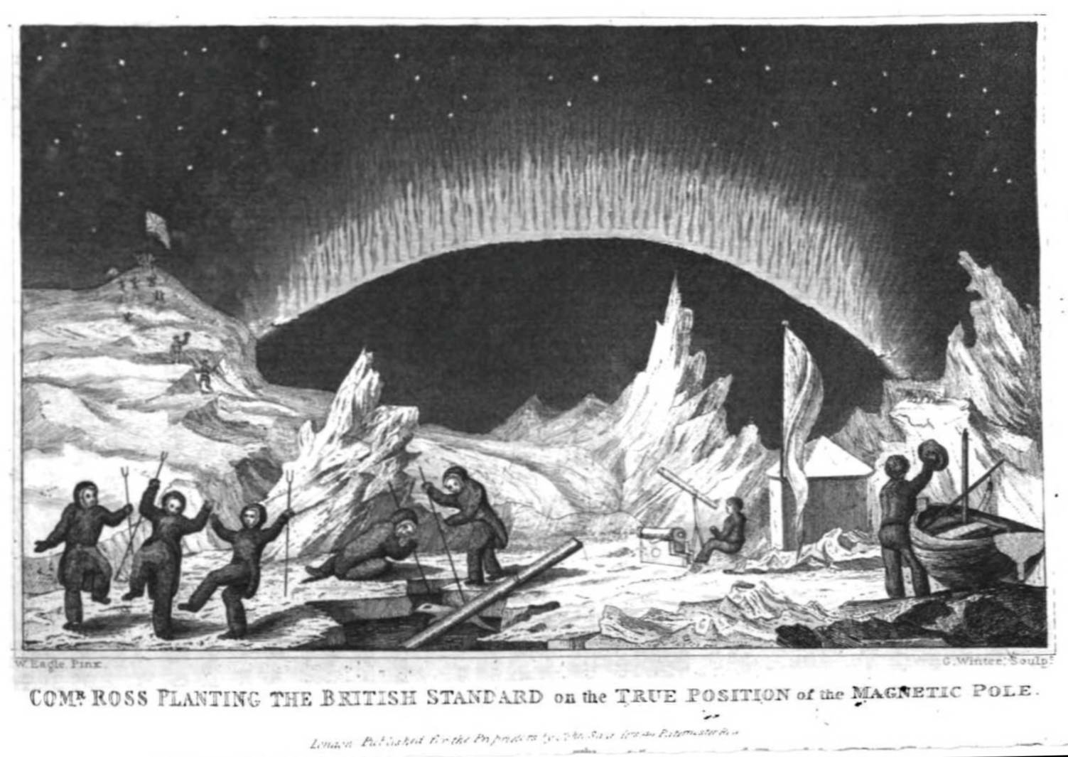
Sir James Clark Ross (15 April 1800 – 3 April 1862) was a British Royal Navy officer and polar explorer known for his explorations of the Arctic, participating in two expeditions led by his uncle John Ross, and four led by William Edward Parry, and, in particular, for his own Antarctic expedition from 1839 to 1843. Biography Early life Ross was born in London, the son of George Ross and nephew of John Ross, under whom he entered the Royal Navy on 5 April 1812. Ross was an active participant in the Napoleonic Wars, being present at an action where HMS ''Briseis'', commanded by his uncle, captured ''Le Petit Poucet'' (a French privateer) on 9 October 1812. Ross then served successively with his uncle on HMS ''Actaeon'' and HMS ''Driver''. Arctic exploration Ross participated in John's unsuccessful first Arctic voyage in search of a Northwest Passage in 1818 aboard ''Isabella''. Between 1819 and 1827 Ross took part in four Arctic expeditions under William Ed ... [...More Info...] [...Related Items...] OR: [Wikipedia] [Google] [Baidu] |
DeAngelo Glacier
DeAngelo Glacier is a tributary glacier which drains the slopes of Mount Robinson in the Admiralty Mountains. It flows southeast to enter Moubray Glacier southward of Mount Ruegg. It was mapped by the United States Geological Survey from surveys and U.S. Navy air photos, 1960–63, and was named by the Advisory Committee on Antarctic Names for Richard J. DeAngelo, Airman First-Class, United States Air Force, who perished in the C-124 Globemaster The Douglas C-124 Globemaster II, nicknamed "Old Shaky", is an American heavy-lift cargo aircraft built by the Douglas Aircraft Company in Long Beach, California. The C-124 was the primary heavy-lift transport for United States Air Force (USA ... crash in this vicinity in 1958. References * Glaciers of Borchgrevink Coast {{BorchgrevinkCoast-glacier-stub ... [...More Info...] [...Related Items...] OR: [Wikipedia] [Google] [Baidu] |
William Whewell
William Whewell ( ; 24 May 17946 March 1866) was an English polymath, scientist, Anglican priest, philosopher, theologian, and historian of science. He was Master of Trinity College, Cambridge. In his time as a student there, he achieved distinction in both poetry and mathematics. The breadth of Whewell's endeavours is his remarkable feature. In a time of increasing specialization, Whewell belonged in an earlier era when natural philosophers investigated widely. He published work in mechanics, physics, geology, astronomy, and economics, while also composing poetry, writing a Bridgewater Treatise, translating the works of Goethe, and writing sermons and theological tracts. In mathematics, Whewell introduced what is now called the Whewell equation, defining the shape of a curve without reference to an arbitrarily chosen coordinate system. He also organized thousands of volunteers internationally to study ocean tides, in what is now considered one of the first citizen scienc ... [...More Info...] [...Related Items...] OR: [Wikipedia] [Google] [Baidu] |
Honeycomb Glacier (Antarctica)
Moubray Bay () is a bay in the western Ross Sea, indenting the coast of Victoria Land, Antarctica, between Cape Roget and Cape Hallett. It was discovered in 1841 by Sir James Clark Ross and named by him for George H. Moubray George may refer to: People * George (given name) * George (surname) * George (singer), American-Canadian singer George Nozuka, known by the mononym George * George Washington, First President of the United States * George W. Bush, 43rd President ..., clerk in charge of the expedition ship . References Bays of Victoria Land Borchgrevink Coast {{BorchgrevinkCoast-geo-stub ... [...More Info...] [...Related Items...] OR: [Wikipedia] [Google] [Baidu] |
Ironside Glacier
Ironside Glacier is a glacier, about long, originating at the south side of Mount Minto in the Admiralty Mountains and draining southeast between Mount Whewell and Mount Herschel into Moubray Bay, Victoria Land, Antarctica. At its mouth it is joined by the Honeycomb Glacier flowing in from the north. The name is suggested by an association of ideas involved in the name Admiralty Mountains, and by the impression of power given by the great icefall in the lower portion of the glacier. Named by the New Zealand Geological Survey Antarctic Expedition (NZGSAE), 1957–58. See also * List of glaciers in the Antarctic * Glaciology Glaciology (; ) is the scientific study of glaciers, or more generally ice and natural phenomena that involve ice. Glaciology is an interdisciplinary Earth science that integrates geophysics, geology, physical geography, geomorphology, climato ... References Admiralty Mountains Glaciers of Borchgrevink Coast {{BorchgrevinkCoast-glacier- ... [...More Info...] [...Related Items...] OR: [Wikipedia] [Google] [Baidu] |
Wernher Von Braun
Wernher Magnus Maximilian Freiherr von Braun ( , ; 23 March 191216 June 1977) was a German and American aerospace engineer and space architect. He was a member of the Nazi Party and Allgemeine SS, as well as the leading figure in the development of rocket technology in Nazi Germany and later a pioneer of rocket and space technology in the United States. As a young man, von Braun worked in Nazi Germany's rocket development program. He helped design and co-developed the V-2 rocket at Peenemünde during World War II. Following the war, he was secretly moved to the United States, along with about 1,600 other German scientists, engineers, and technicians, as part of Operation Paperclip. He worked for the United States Army on an intermediate-range ballistic missile program, and he developed the rockets that launched the United States' first space satellite Explorer 1 in 1958. He worked with Walt Disney on a series of films, which popularized the idea of human space travel in ... [...More Info...] [...Related Items...] OR: [Wikipedia] [Google] [Baidu] |
Murray Glacier
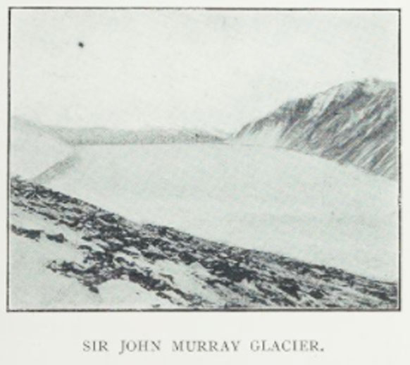
Murray Glacier () is a valley glacier, long, draining seaward along the east side of Geikie Ridge in the Admiralty Mountains. Its terminus coalesces with that of Dugdale Glacier where both glaciers discharge into Robertson Bay along the north coast of Victoria Land. First charted by the British Antarctic Expedition 1898-1900, under Carsten Borchgrevink, who named this feature for Sir John Murray of the Challenger Expedition The ''Challenger'' expedition of 1872–1876 was a scientific program that made many discoveries to lay the foundation of oceanography. The expedition was named after the naval vessel that undertook the trip, . The expedition, initiated by Wil ..., 1872–76. References Glaciers of Pennell Coast {{PennellCoast-glacier-stub ... [...More Info...] [...Related Items...] OR: [Wikipedia] [Google] [Baidu] |
Moubray Glacier
Moubray Glacier is a rather steep glacier flowing south to Moubray Bay from Adare Saddle on Adare Peninsula in Antarctica. It is one of the main contributors of ice to Moubray Piedmont Glacier. The glacier was named by the New Zealand Geological Survey Antarctic Expedition The New Zealand Geological Survey Antarctic Expedition (NZGSAE) describes a series of scientific explorations of the continent Antarctica. The expeditions were notably active throughout the 1950s and 1960s. Features named by the expeditions 1957 ... of 1957–58 for its proximity to Moubray Bay. References Glaciers of Victoria Land Borchgrevink Coast {{BorchgrevinkCoast-geo-stub ... [...More Info...] [...Related Items...] OR: [Wikipedia] [Google] [Baidu] |


