|
Sierra De Ajusco-Chichinauhtzin
The Sierra del Ajusco-Chichinauhtzin, (Ajusco-Chichinautzin Mountain Range) also known as ''Serranía del Ajusco'' or ''Sierra de Chichinauhtzin'', is a Mexican mountain range located between Mexico City and the states of Morelos and Mexico. It makes up the southern part of the mountain necklace that surrounds Mexico City. It is made up of more than one hundred volcanic cones, among which are: Tláloc ( MAMSL), Chichinauhtzin (, Xitle (, Cerro Pelado ( and Cuauhtzin (. Its maximum height is at the Cruz del Marqués peak on the Ajusco volcano (). Background The range includes parts of the municipalities of Tlalpan, Xochimilco, Tláhuac, Milpa Alta and Magdalena Contreras on the south of Mexico City; the municipalities of Huitzilac, Tepoztlán and Tlalnepantla in Morelos; and the municipalities of Juchitepec and Tepetlixpa, in the State of Mexico. These mountains form the highest point as well as the southern limit of Mexico City, separating the Valley of Mexico from the Cuer ... [...More Info...] [...Related Items...] OR: [Wikipedia] [Google] [Baidu] |
Ajusco
Ajusco is a lava dome volcano located just south of Mexico City, Mexico, in the Tlalpan borough of the city. It is the highest point in the city. Etymology Ajusco is a Náhuatl word variously translated as "source of waters" or "watered grove", and the Lerma River and Balsas River draw some of their source waters from this area. Also, the flow from all of the remaining strong springs in the area adjacent to the peak are captured to augment Mexico City's water supply. Geology Ajusco is a lava dome complex of Pliocene-Pleistocene age, surrounded by block and ash flow deposits. Ajusco is part of the mountain chain of volcanic origin known as Sierra de Ajusco-Chichinauhtzin, among which Xitle (), Tláloc (), Pelado (), Cuautzin () and Chichinautzin () stand out. This range is part of the Trans-Mexican Volcanic Belt which crosses central Mexico and contains the country's highest peaks. Ecology Parts of this range account for about half of the area of the Mexican Federal District, t ... [...More Info...] [...Related Items...] OR: [Wikipedia] [Google] [Baidu] |
Milpa Alta
Milpa Alta is a borough (''demarcación territorial'') in Mexico City. It lies in the southeast corner of the nation's capital, bordering the State of Mexico and Morelos. It is the least populated, second largest and most rural of all the boroughs. It is also one of the most traditional areas of the city, with over 700 religious and secular festivals during the year and an economy based on agriculture and food processing, especially the production of nopal cactus, barbacoa and mole sauce. Geography and environment The borough of Milpa Alta is located in the southeast of the of Mexico City bordering the boroughs of Xochimilco, Tláhuac and Tlalpan, with the state of Morelos to the south and the State of Mexico to the west. It has the second largest territorial extension after Tlalpan, occupying 268.6km2. The terrain is rugged mostly consisting of volcanic peak along with some small flat areas mostly formed in the Cenozoic Era. City officials have classified the entire borough as ... [...More Info...] [...Related Items...] OR: [Wikipedia] [Google] [Baidu] |
Balsas River Basin
The Balsas River (Spanish Río Balsas, also locally known as the Mezcala River, or Atoyac River) is a major river of south-central Mexico. The basin flows through the states of Guerrero, México, Morelos, and Puebla. Downstream of Ciudad Altamirano, Guerrero, it forms the border between Guerrero and Michoacán. The river flows through the Sierra Madre del Sur, and empties into the Pacific Ocean at Mangrove Point, adjacent to the city of Lázaro Cárdenas, Michoacán. Several rapids along the course of the Balsas River limit its navigability and thus the river has been largely used for generation of hydroelectric power, flood control and irrigation. History The Balsas River valley was possibly one of the earliest maize growing sites in Mexico, dating from around 9200 years ago. Though it is known that successive communities of Yop, Coixica, Matlatzinca ( Chontal), Tlahuica and Xochimilca with Nahua succeeding in the end have lived in the region, archeological excavations in th ... [...More Info...] [...Related Items...] OR: [Wikipedia] [Google] [Baidu] |
Basin Of Mexico
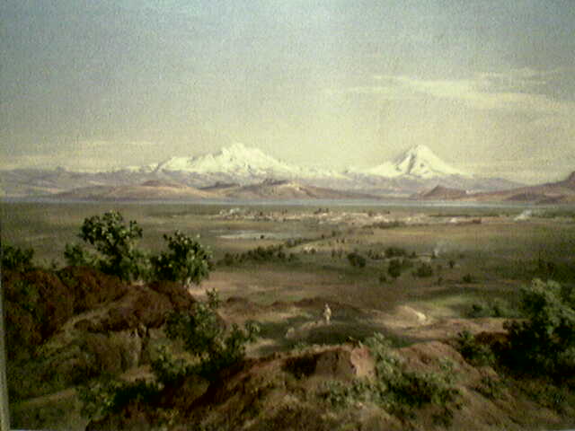
The Valley of Mexico ( es, Valle de México) is a highlands plateau in central Mexico roughly coterminous with present-day Mexico City and the eastern half of the State of Mexico. Surrounded by mountains and volcanoes, the Valley of Mexico was a centre for several pre-Columbian civilizations, including Teotihuacan, the Toltec, and the Aztec. The ancient Aztec term ('Land Between the Waters') and the phrase Basin of Mexico are both used at times to refer to the Valley of Mexico. The Basin of Mexico became a well known site that epitomized the scene of early Classic Mesoamerican cultural development as well. The Valley of Mexico is located in the Trans-Mexican Volcanic Belt. The valley contains most of the Mexico City Metropolitan Area, as well as parts of the State of Mexico, Hidalgo, Tlaxcala, and Puebla. The Basin of Mexico covers approximately in the NNE-SSW direction with length to width dimensions of approximately to The Valley of Mexico can be subdivided into four bas ... [...More Info...] [...Related Items...] OR: [Wikipedia] [Google] [Baidu] |
Lacustrine Basin
A lacustrine plain or lake plain is a plain formed due to the past existence of a lake and its accompanying sediment accumulation. Lacustrine plains can be formed through one of three major mechanisms: glacial drainage, differential uplift, and inland lake creation and drainage. Lake plains can have various uses depending on where and how they form. Over time, in regions where a lake once existed, as water drains or evaporates from the lake, the deposited sediments are left behind, resulting in a level plain of land where the lake once existed. The soil of the plain may constitute fertile and productive farmland due to the previous accumulation of lacustrine sediments; in other cases, it may become a wetland or a desert. Background Lacustrine plains are plains formed when lakes filled with sediments are drained. There are several reasons why drainage might occur, but in all cases the water in the lake is lost, leaving behind a level land of sediments. The resulting plain is an ar ... [...More Info...] [...Related Items...] OR: [Wikipedia] [Google] [Baidu] |
Quaternary
The Quaternary ( ) is the current and most recent of the three periods of the Cenozoic Era in the geologic time scale of the International Commission on Stratigraphy (ICS). It follows the Neogene Period and spans from 2.58 million years ago to the present. The Quaternary Period is divided into two epochs: the Pleistocene (2.58 million years ago to 11.7 thousand years ago) and the Holocene (11.7 thousand years ago to today, although a third epoch, the Anthropocene, has been proposed but is not yet officially recognised by the ICS). The Quaternary Period is typically defined by the cyclic growth and decay of continental ice sheets related to the Milankovitch cycles and the associated climate and environmental changes that they caused. Research history In 1759 Giovanni Arduino proposed that the geological strata of northern Italy could be divided into four successive formations or "orders" ( it, quattro ordini). The term "quaternary" was introduced by Jules Desnoye ... [...More Info...] [...Related Items...] OR: [Wikipedia] [Google] [Baidu] |
El Tepozteco
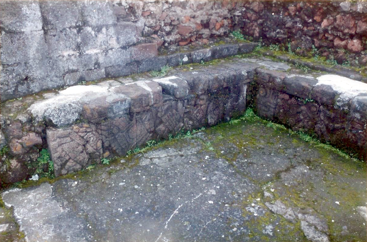
El Tepozteco is an archaeological site in the Mexican state of Morelos. It consists of a small temple to Tepoztēcatl, the Aztec god of the alcoholic beverage ''pulque''.Canto Aguilar 1998 In the middle Postclassic Period, various terraces and a small pyramid were built on one of the peaks of the Sierra de Tepoztlan, overlooking the pre-Columbian town of Tepoztlan. The temple became important enough to attract pilgrims from as far away as Guatemala, although the cult of Tepoztecatl was local to this site. The Sierra de Tepoztlan and the temple site are within El Tepozteco National Park. Description The temple itself stands at the western side of the site. It consists of a 6.4-meter-high platform supporting a 3.3-meter-high temple base. Upon this stand the remains of the temple building, the remains of which now stand 2.7 meters high. The temple was formed of two rooms. The first room opened onto the temple stairs, with two pillars flanking the entrance. In the centre of this room ... [...More Info...] [...Related Items...] OR: [Wikipedia] [Google] [Baidu] |
Cuernavaca
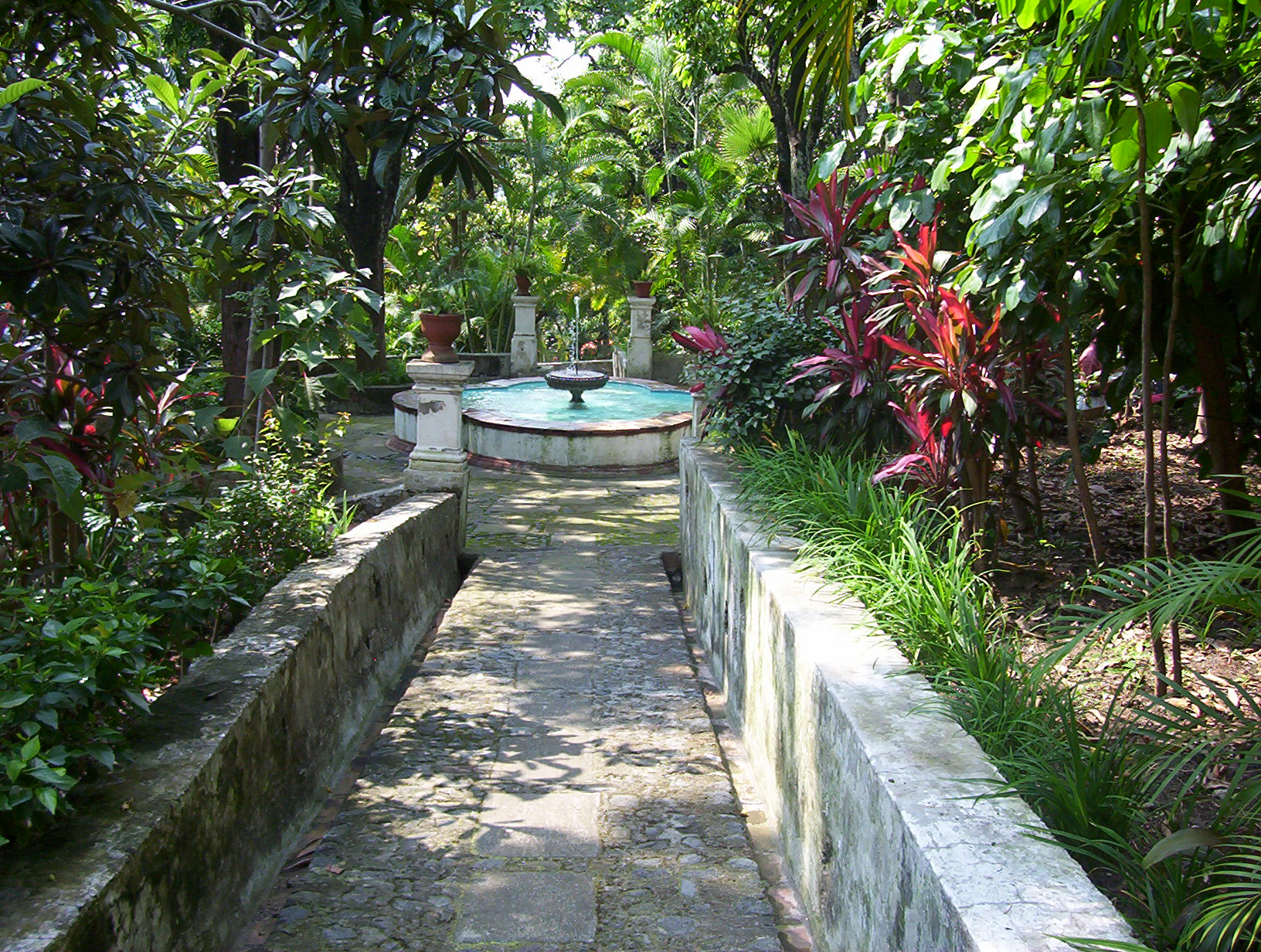
Cuernavaca (; nci-IPA, Cuauhnāhuac, kʷawˈnaːwak "near the woods", ) is the capital and largest city of the state of Morelos in Mexico. The city is located around a 90-minute drive south of Mexico City using the Federal Highway 95D. The name ''Cuernavaca'' is a euphonism derived from the Nahuatl toponym and means 'surrounded by or close to trees'. The name was Hispanicized to ''Cuernavaca''; Hernán Cortés called it ''Coadnabaced'' in his letters to Charles V, Holy Roman Emperor, and Bernal Díaz del Castillo used the name ''Cuautlavaca'' in his chronicles. The coat-of-arms of the municipality is based on the pre-Columbian pictograph emblem of the city which depicts a tree trunk () with three branches, with foliage, and four roots colored red. There is a cut in the trunk in the form of a mouth, from which emerges a speech scroll, probably representing the language Nahuatl and by extension the locative suffix , meaning 'near'. Cuernavaca has long been a favorite escape fo ... [...More Info...] [...Related Items...] OR: [Wikipedia] [Google] [Baidu] |
Valley Of Mexico
The Valley of Mexico ( es, Valle de México) is a highlands plateau in central Mexico roughly coterminous with present-day Mexico City and the eastern half of the State of Mexico. Surrounded by mountains and volcanoes, the Valley of Mexico was a centre for several pre-Columbian civilizations, including Teotihuacan, the Toltec, and the Aztec. The ancient Aztec term ('Land Between the Waters') and the phrase Basin of Mexico are both used at times to refer to the Valley of Mexico. The Basin of Mexico became a well known site that epitomized the scene of early Classic Mesoamerican cultural development as well. The Valley of Mexico is located in the Trans-Mexican Volcanic Belt. The valley contains most of the Greater Mexico City, Mexico City Metropolitan Area, as well as parts of the State of Mexico, Hidalgo (state), Hidalgo, Tlaxcala, and Puebla. The Basin of Mexico covers approximately in the NNE-SSW direction with length to width dimensions of approximately to The Valley of ... [...More Info...] [...Related Items...] OR: [Wikipedia] [Google] [Baidu] |
Tepetlixpa
Tepetlixpa is a municipality in Mexico State in Mexico. The municipality covers an area of . As of 2000, the municipality had a total population of 16,871. Nepantla de Sor Juana Inés de la Cruz The municipality is home to Nepantla de Sor Juana Inés de la Cruz, formerly known as San Miguel Nepantla, the hometown of Sor Juana Inés de la Cruz. At his request, the ashes of Argentine-Mexican poet Juan Gelman Juan Gelman (3 May 1930 – 14 January 2014) was an Argentine poet. He published more than twenty books of poetry between 1956 and his death in early 2014. He was a naturalized citizen of Mexico, country where he arrived as a political exile of th ... were scattered in Nepantla. References {{Mexico State Municipalities of the State of Mexico Populated places in the State of Mexico ... [...More Info...] [...Related Items...] OR: [Wikipedia] [Google] [Baidu] |
Juchitepec
Juchitepec is a municipality in State of Mexico in central Mexico. The municipal seat is the city of Juchitepec de Mariano Rivas. Juchitepec means “Hill of the Flowers” in Nahuatl. The municipality covers an area of 149.56 km². It has one major community outside the seat called San Matias Cuijingo. The municipality is located at the southwest of the state, and borders the municipalities of Tenango del Aire, Tepetlixpa, Ozumba and Ayapango in the State of Mexico, and with Totolapan and Tlalnepantla in the state of Morelos to the south, and the borough of Milpa Alta in Mexico City to the west. A large part of the population is employed in commerce. Other major economic activities include agriculture and livestock. As of the 2010 census, the municipality had a total population of 23,497 inhabitants. Towns and villages The largest localities (cities, towns, and villages) are: [...More Info...] [...Related Items...] OR: [Wikipedia] [Google] [Baidu] |
Tlalnepantla
Tlalnepantla de Baz is one of 125 municipalities of the state of Mexico, north of Mexico City. The municipal seat and largest city in the municipality is the city of Tlalnepantla. ''Tlalnepantla'' comes from the Náhuatl words ''tlalli'' (land) and ''nepantla'' (middle) to mean the middle land. The city was known in prior times as Tlalnepantla de Galeana and Tlalnepantla de Comonfort, to honor Hermenegildo Galeana and Ignacio Comonfort, respectively. The current addition of ''Baz'' comes from the last name of Gustavo Baz Prada, an important politician and soldier of Emiliano Zapata's army during the Mexican Revolution. After the Revolution, Baz Prada became Governor of the State of Mexico and President of the National Autonomous University of Mexico (UNAM). It is located in the northeastern part of the state of Mexico, in the Valley of Mexico north of Mexico City proper. Together with Atizapán, it comprises the dense Region XII of Mexico State. History Around the 11th cen ... [...More Info...] [...Related Items...] OR: [Wikipedia] [Google] [Baidu] |


.jpg)


