|
Siak Regency
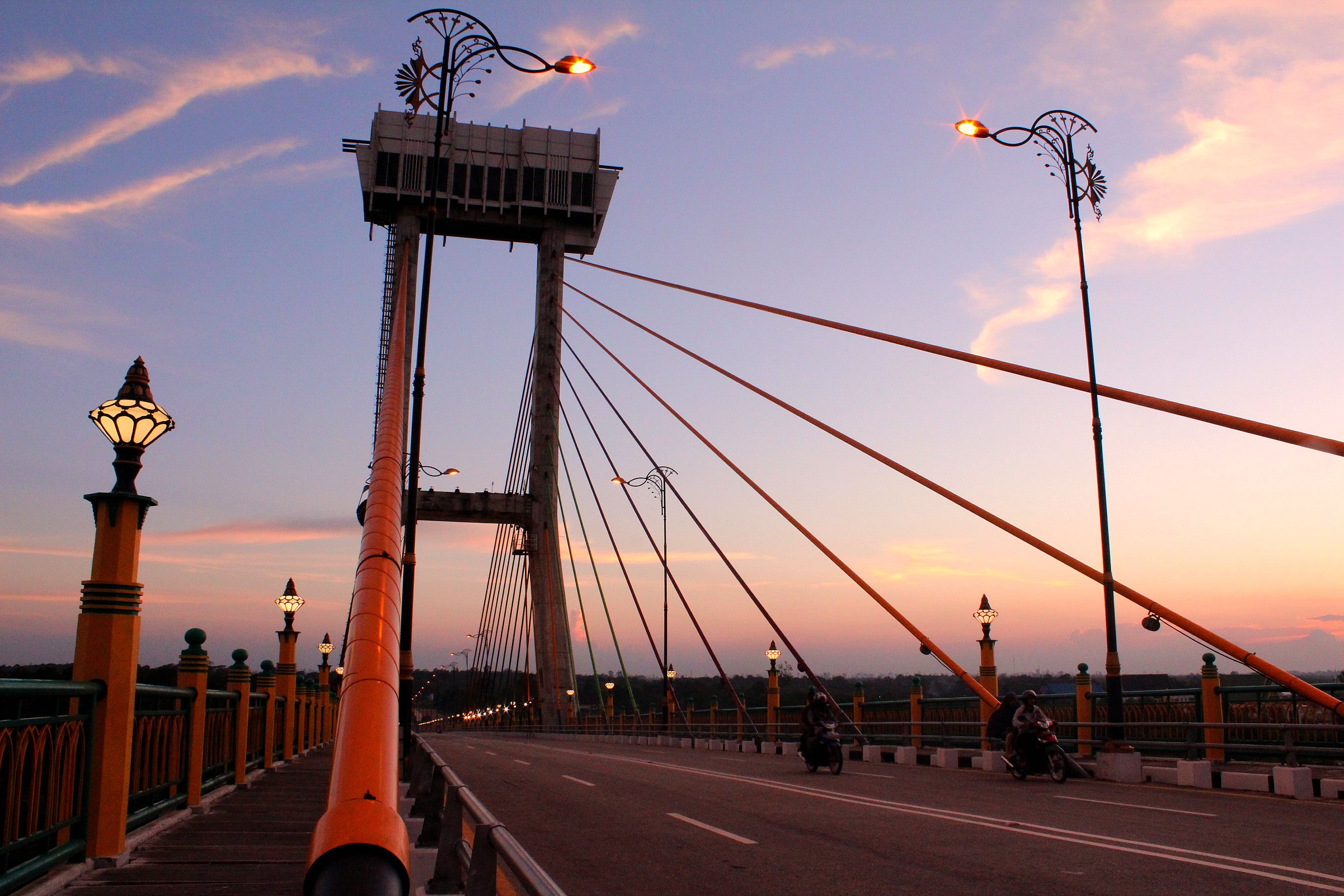
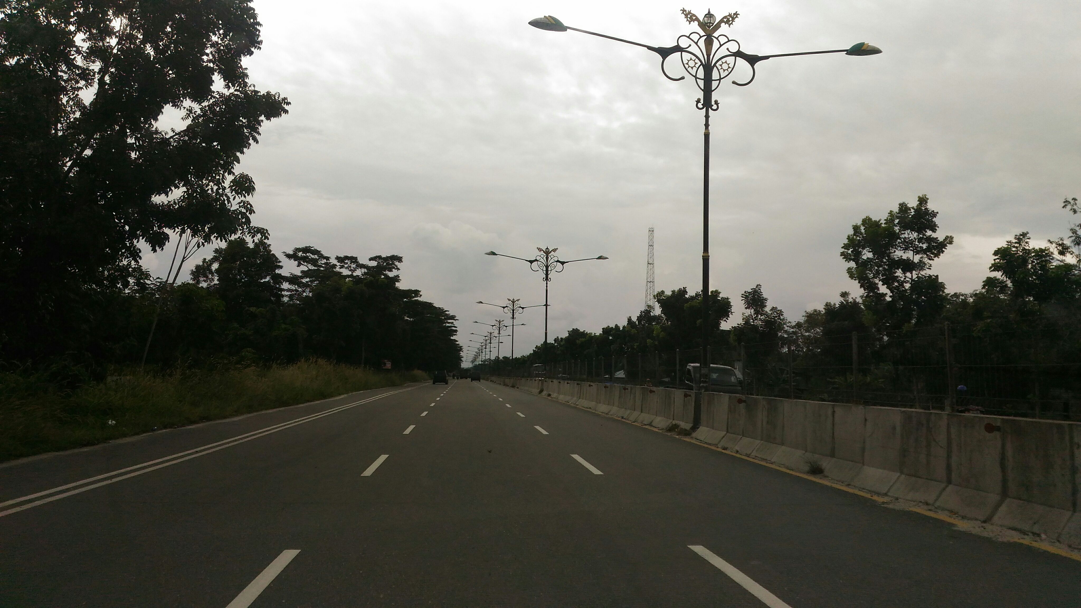
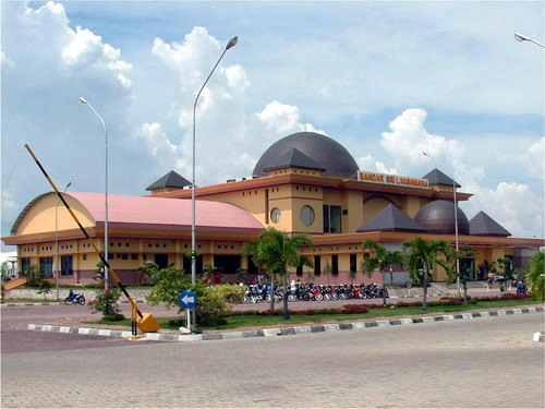
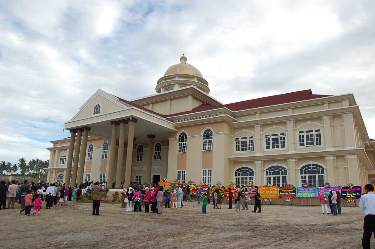
Siak ( Jawi: ), is a regency (''kabupaten'') of Riau Province, on the island of Sumatra, Indonesia. It has an area of 8,556.09 km² and had a population of 376,742 at the 2010 Census and 457,940 at the 2020 Census, comprising 236,494 male and 221,446 female. The administrative centre of the regency is located at Siak Sri Indrapura. The northern part of this regency is covered by the Bukit Batu Biosphere Reserve. Previously the area was part of the Sultanate of Siak Sri Indrapura. At the beginning of the independence of Indonesia, Sultan Syarif Kasim II, the Sultanate of Siak was the last state to join the kingdom of the Republic of Indonesia. Later this region was formed into an area under the Siak Kewedanan Bengkalis which later changed its status to the Regency of Siak. In 1999 under Law No. 53 of 1999, Siak Sri Indrapura was declared the capital of Siak Regency. Administrative districts Siak Regency is divided into fourteen administrative districts (''kecamatan''), ... [...More Info...] [...Related Items...] OR: [Wikipedia] [Google] [Baidu] |
List Of Regencies And Cities Of Indonesia
Regencies (''kabupaten'') and cities (''kota'') are the second-level administrative subdivision in Indonesia, immediately below the provinces, and above the districts. Regencies are roughly equivalent to American counties, although most cities in the United States are below the counties. Following the implementation of decentralization beginning on 1 January 2001, regencies and city municipalities became the key administrative units responsible for providing most governmental services. Each of regencies and cities has their own local government and legislative body. The difference between a regency and a city lies in demography, size, and economy. Generally, a regency comprises a rural area larger than a city, but also often includes various towns. A city usually has non-agricultural economic activities. A regency is headed by a regent (''bupati''), while a city is headed by a mayor (''wali kota''). All regents, mayors, and members of legislatures are directly elected via el ... [...More Info...] [...Related Items...] OR: [Wikipedia] [Google] [Baidu] |
Bengkalis
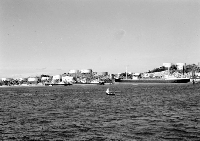
Bengkalis (''Kota Bengkalis'') was the seat (capital) of Bengkalis Regency in the Riau province of Indonesia until 8 July 2013, when it became an independent city. It is located on Bengkalis Island. The city had a population of 66,211. Bengkalis has a hot and humid equatorial/tropical climate. The city is humid throughout the year with daily temperature range 26 to 32 degrees Celsius. Politics In recent election in 2020, Kasmarni and Bagus Santoso elected as regent and deputy regent from 2021. Climate Bengkalis has a tropical rainforest climate (Af) with heavy to very heavy rainfall year-round. References Regency seats of Riau {{Riau-geo-stub ... [...More Info...] [...Related Items...] OR: [Wikipedia] [Google] [Baidu] |
Pelalawan
Pelalawan is a Regency (Indonesia), regency (''kabupaten'') of Riau Province, Indonesia. It is located on the island of Sumatra. The regency has an area of 13,067.29 km² and had a population of 301,829 at the 2010 Census and 390,046 at the 2020 Census, including 201,685 male and 188,361 female. The administrative centre is at the town of Pangkalan Kerinci. Administrative districts The regency is divided into twelve Districts of Indonesia, districts (''kecamatan''), listed below with their areas and their populations at the 2010 Census and the 2020 Census.Badan Pusat Statistik, Jakarta, 2021. The table also includes the locations of the district administrative centres, and the number of villages (rural ''desa'' and urban ''kelurahan'') in each district; of the 14 kelurahan, one (the district administrative centre) was in each district, except that Pangkalan Kerinci had 3 kelurahan. References Regencies of Riau {{Riau-geo-stub ... [...More Info...] [...Related Items...] OR: [Wikipedia] [Google] [Baidu] |
Kampar Regency
Kampar is a regency (''kabupaten'') of Riau, Indonesia. It has an area of 11,289.28 km2 and had a population of 686,204 at the 2010 Census, 793,005 at the 2015 Intermediate Census and 841,332 at the 2020 Census. The administrative centre of the regency is located at Bangkinang town. Bordered by: Geography The Kampar Regency covers an area of 11,289.28 km2, and is an area that lies between 1 ° 00'40 "north latitude to 0 ° 27'00" south latitude and 100 ° 28'30 "- 101 ° 14'30" east longitude. 6The boundaries of Kampar Regency are as follows: North Rokan Hulu and Bengkalis Southern Regency Kuantan Singingi Fifty-City West District (West Sumatra Province) East Pekanbaru, Siak and Pelalawan. The Kampar Regency is traversed by two major rivers and several small rivers, including Sungai Kampar about 413.5 km long with an average depth of 7.7 m and an average width of 143 metres. All parts of the river are included in Kampar Regency, which includes the districts ... [...More Info...] [...Related Items...] OR: [Wikipedia] [Google] [Baidu] |
Bengkalis Regency
Bengkalis Regency is a regency of Indonesia in the Riau province. The regency, which includes the whole of Bengkalis and Rupat Islands in the Strait of Malacca, has been established since 1956. The regency was formerly divided into 13 districts (or ''kecamatan''); however five of these districts were removed to create the new Meranti Islands Regency, leaving eight districts in the Bengkalis Regency, which number has increased since 2010 to eleven by splitting of existing districts on the Sumatran mainland. Bengkalis Regency produces natural resources, particularly petroleum, rubber, and coconut. The regency is home to the Bukit Batu Biosphere Reserve. Geography Bengkalis Regency comprises the whole of Bengkalis Island and Rupat Island which are located in the Straits of Malacca, together with a wide swathe of the eastern coastal area of Sumatra Island as well as other islands within the archipelago to its north-east. The land area covers 8,426.48 km2 and it borders on the ... [...More Info...] [...Related Items...] OR: [Wikipedia] [Google] [Baidu] |
Siak Sri Indrapura Palace
Siak Sri Indrapura Palace or Siak Palace ( id, Istana Siak Sri Inderapura or id, Istana Asserayah Hasyimiah or id, Istana Matahari Timur) is an ''istana'' (royal palace) of the Sultanate of Siak Sri Indrapura that is located at Siak Regency, Riau, on the island of Sumatra, Indonesia. The palace is now transformed into a museum. The palace complex has an area of about 32,000 square meters consisting of 4 palaces namely Istana Siak, Istana Lima, Istana Padjang, and Istana Baru. Each of the palace including ''Siak Palace'' itself has an area of 1,000 square meters. History The Moorish-style palace, which is now a museum located 120 kilometres (75 mi) upstream of the Siak river in Pekanbaru was built by the 11th sultan, Syarif Hasyim Abdul Jalil Syarifuddin of Sultanate of Siak Sri Indrapura in 1889. The architecture of the palace has European influences that blend harmoniously with the Malay and Moorish elements. Before constructing the palace the Sultan traveled Netherlands and ... [...More Info...] [...Related Items...] OR: [Wikipedia] [Google] [Baidu] |
Suramadu Bridge
The Suramadu Bridge ( id, Jembatan Suramadu), also known as the ''Surabaya–Madura Bridge'', is a cable-stayed bridge between Surabaya on the island of Java and the town of Bangkalan on the island of Madura in Indonesia Indonesia, officially the Republic of Indonesia, is a country in Southeast Asia and Oceania between the Indian and Pacific oceans. It consists of over 17,000 islands, including Sumatra, Java, Sulawesi, and parts of Borneo and New Guine .... Opened in June 2009, the bridge is the longest in Indonesia and the second longest in southern hemisphere. It is the first bridge to cross the Madura Strait. The cable-stayed portion has three spans with lengths , , and . The bridge has two lanes in each direction plus an emergency lane and a dedicated lane for motorcycles in each direction. History Early history The idea of a bridge connecting Surabaya with Madura is said to have first been proposed in the early 1960s by the well-known Indonesian engin ... [...More Info...] [...Related Items...] OR: [Wikipedia] [Google] [Baidu] |
Batam
Batam is the largest city in the province of Riau Islands, Indonesia. The city administrative area covers three main islands of Batam, Rempang, and Galang (collectively called Barelang), as well as several small islands. Batam Island is the core urban and industrial zone, while both Rempang Island and Galang Island maintain their rural character and are connected to Batam Island by short bridges. Batam is an industrial boomtown, an emerging transport hub, and part of a free trade zone in the Indonesia–Malaysia–Singapore Growth Triangle, located off Singapore's south coast and also part of the Indonesia–Malaysia–Thailand Growth Triangle. According to Statistics Indonesia's 2020 census, Batam had a population of 1,196,396, making it the third largest city in the region of Sumatra, after Medan and Palembang. It is the closest part of Indonesia to Singapore, at a minimum land distance of 5.8 km. During the 2010 national census, Batam was the fastest-growing m ... [...More Info...] [...Related Items...] OR: [Wikipedia] [Google] [Baidu] |
Pekanbaru
Pekanbaru is the capital of Indonesian province of Riau, and a major economic center on the eastern part of Sumatra Island. Its name is derived from the Malay words for 'new market' ('pekan' is market and 'baru' is new). It has an area of , with a population of 897,767 at the 2010 Census, and 983,356 at the 2020 Census.Badan Pusat Statistik, Jakarta, 2021. It is located on the banks of the Siak River, which flows into the Strait of Malacca, Pekanbaru has direct access to the busy strait and has long been known as a trading port. A settlement has existed on the site since the 17th century. In the late 19th century, the city was developed to serve the coffee and coal industries, and the Dutch built roads to help ship goods to Singapore and Malacca. This city has an airport called Sultan Syarif Kasim II International Airport, and a port called Sungai Duku that is located by the Siak River. History Sultanate of Siak The origin of Pekanbaru was inseparable from the existence o ... [...More Info...] [...Related Items...] OR: [Wikipedia] [Google] [Baidu] |
Regency Seat
A regency seat ( id, Ibu kota kabupaten) is an capital or seat of government of a regency in Indonesia. It is roughly equivalent of county seat in the United States or county town in the United Kingdom. Legally, regency seats are not administrative subdivisions of Indonesia and have no official boundaries. A regency seat may occupy an entire district (such as Sigli in Pidie Regency, Ngawi (town) in Ngawi Regency), a part of district (such as Sarilamak Sarilamak is a town in Lima Puluh Kota Regency, of West Sumatra province of Indonesia and it is the administrative seat (capital) of Lima Puluh Kota Regency. Populated places in West Sumatra Regency seats of West Sumatra {{WSumatra-g ... in Harau district, Lima Puluh Kota Regency), or several districts (such as Ungaran, which consists of West Ungaran district and East Ungaran district in Semarang Regency). References Capitals {{Indonesia-geo-stub ... [...More Info...] [...Related Items...] OR: [Wikipedia] [Google] [Baidu] |
