|
Shivprasad Dabral Charan
Shivprasad Dabral (12 November 1912 – 24 November 1999), known by his pen name Charan, was an Indian historian, geographer, academic and writer from Uttarakhand. He is also known as 'Encyclopedia of Uttarakhand'. He started writing from 1931 onwards. He is the author of the monumental history of Uttarakhand in 18 volumes, 2 collections of poetry, 9 plays, and several edited volumes in Hindi and Garhwali. His ''Uttarakhand ka Itihaas'' (History of Uttarakhand) is widely used by scholars as reference work. He authored several books on the archeology and ecology of Uttarakhand. To his credit, Charan saved 22 rare books of Garhwali language from extinction by republishing them at his own press. He also rediscovered a rare poetry manuscript of Mola Ram. Biography Source: Early life and family Charan was born on 12 November 1912 in Gahli village of Pauri Garhwal district of Uttarakhand. His father Krishnadutt was the headmaster of Primary School of Dabral. His mother's name was ... [...More Info...] [...Related Items...] OR: [Wikipedia] [Google] [Baidu] |
Pauri Garhwal
Pauri Garhwal is a district in the Indian state of Uttarakhand. Its headquarters is in the town of Pauri. It is sometimes referred to simply as Garhwal district, though it should not be confused with the larger Garhwal region of which it is only a part of. Geography Located partly in the Gangetic plain and partly in the Lower Himalayas, Pauri Garhwal district encompasses an area of and is situated between 29° 45' to 30°15' North Latitude and 78° 24' to 79° 23' East Longitude. The district is bordered on the southwest by Bijnor district of Uttar Pradesh, and, clockwise from west to southeast, by the Uttarakhand districts of Haridwar, Dehradun, Tehri Garhwal, Rudraprayag, Chamoli, Almora, and Nainital. Climate The climate of Pauri Garhwal is warm in summer and cold in winter. In the rainy season the climate is cool and the landscape green. However, in Kotdwar and the adjoining Bhabar area, it is quite hot, reaching well above during the summer. In the winter, many parts o ... [...More Info...] [...Related Items...] OR: [Wikipedia] [Google] [Baidu] |
Allahabad
Allahabad (), officially known as Prayagraj, also known as Ilahabad, is a metropolis in the Indian state of Uttar Pradesh.The other five cities were: Agra, Kanpur (Cawnpore), Lucknow, Meerut, and Varanasi (Benares). It is the administrative headquarters of the Allahabad district—the most populous district in the state and 13th most populous district in India—and the Allahabad division. The city is the judicial capital of Uttar Pradesh with the Allahabad High Court being the highest judicial body in the state. As of 2011, Allahabad is the seventh most populous city in the state, thirteenth in Northern India and thirty-sixth in India, with an estimated population of 1.53 million in the city. In 2011 it was ranked the world's 40th fastest-growing city. Allahabad, in 2016, was also ranked the third most liveable urban agglomeration in the state (after Noida and Lucknow) and sixteenth in the country. Hindi is the most widely spoken language in the city. Allahabad l ... [...More Info...] [...Related Items...] OR: [Wikipedia] [Google] [Baidu] |
Epigraphy
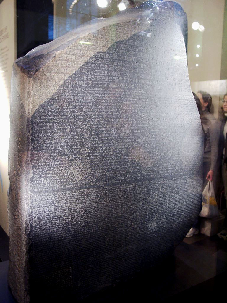
Epigraphy () is the study of inscriptions, or epigraphs, as writing; it is the science of identifying graphemes, clarifying their meanings, classifying their uses according to dates and cultural contexts, and drawing conclusions about the writing and the writers. Specifically excluded from epigraphy are the historical significance of an epigraph as a document and the artistic value of a literature, literary composition. A person using the methods of epigraphy is called an ''epigrapher'' or ''epigraphist''. For example, the Behistun inscription is an official document of the Achaemenid Empire engraved on native rock at a location in Iran. Epigraphists are responsible for reconstructing, translating, and dating the trilingual inscription and finding any relevant circumstances. It is the work of historians, however, to determine and interpret the events recorded by the inscription as document. Often, epigraphy and history are competences practised by the same person. Epigraphy ... [...More Info...] [...Related Items...] OR: [Wikipedia] [Google] [Baidu] |
Temple
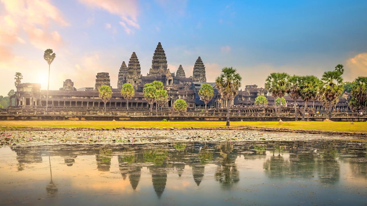
A temple (from the Latin ) is a building reserved for spiritual rituals and activities such as prayer and sacrifice. Religions which erect temples include Christianity (whose temples are typically called churches), Hinduism (whose temples are called Mandir), Buddhism, Sikhism (whose temples are called gurudwara), Jainism (whose temples are sometimes called derasar), Islam (whose temples are called mosques), Judaism (whose temples are called synagogues), Zoroastrianism (whose temples are sometimes called Agiary), the Baha'i Faith (which are often simply referred to as Baha'i House of Worship), Taoism (which are sometimes called Daoguan), Shinto (which are sometimes called Jinja), Confucianism (which are sometimes called the Temple of Confucius), and ancient religions such as the Ancient Egyptian religion and the Ancient Greek religion. The form and function of temples are thus very variable, though they are often considered by believers to be, in some sense, the "house" of ... [...More Info...] [...Related Items...] OR: [Wikipedia] [Google] [Baidu] |
Virbhadra
Virbhadra is a town in Dehradun district in the Indian state of Uttarakhand, located close to the pilgrimage town of Rishikesh. It is most known as the factory township of Indian Drugs and Pharmaceuticals Limited, Rishikesh plant (IDPL), a Government of India undertaking, established in 1967, with about 2800 houses, with Government Inter College and a Kendriya Vidyalaya, established in 1976 with support from IDPL administration but get closed in 2000, again reestablished by initiative of centre government in same campus in 2003 The town also has a historical Virbhadra Temple, Neem Karoli Baba Ashram and a Hanuman Mandir. Very near to the town is the Pashulok Barrage which acts as a water reservoir for the Chilla Hydro power plant. The motorable road to the Neelkanth Mahadev Temple passes along the top of the dam. Geography Virbhadra is located at . It has an average elevation of 330 metres (1,083 feet). History It is named after ''Virabhadra'', an avatar created thr ... [...More Info...] [...Related Items...] OR: [Wikipedia] [Google] [Baidu] |
Parasnath
Parasnath is a mountain peak in the Parasnath Range. It is located towards the eastern end of the Chota Nagpur Plateau in the Giridih district of the Indian state of Jharkhand, India. The hill is named after Lord Parshvanatha, the 23rd Tirthankara. Geography Highest point in Jharkhand At 1365 m Parasnath is the highest mountain peak in the state of Jharkhand, and is ''theoretically'' intervisible (by direct line of sight on a perfectly clear day) with Mount Everest over 450 km to the north. It is easily accessible from Parasnath railway station. Jain Heritage This is one of the most holy and revered sites for the Jain community. They call it Sammed Sikhar. It is a major pilgrimage site. Out of 24 Tirthankaras of Jains, 20 got nirvana on Parshvnatha Hills. On the mountain, there are the Shikharji Jain temples, an important tirthakshetra or Jain pilgrimage site. For each Tirthankara there is a shrine (gumti or Tonk) on the hill. The Jaina temple is believed to be construc ... [...More Info...] [...Related Items...] OR: [Wikipedia] [Google] [Baidu] |
Mordhwaj
According to Indian folklore, Mordhwaj or Mordhwaja or Murddhawaja (Sanskrit: मोरध्वज) is an ancient king of the Mahabharata period, who is believed to have been blessed by Krishna. Legends According to regional folklore, Mordhwaj was a devotee of Krishna and a great donor. Arjuna was proud that there is no greater devotee of Krishna than him. After Mahabharata War was over, Lord Krishna told Arjuna that I have a devotee greater than you and that is Mordhwaj. Krishna reached King Mordhwaj in a Brahmin disguise and said that Maharaj, my lion, is hungry and he is a cannibal. The king Mordhwaj said that if I would be his food, it will be my fortune. Krishna said that both of you, husband and wife, should cut off the head of your son and feed him meat. In the meantime, even a single tear comes out; then, the lion will not eat it. Thus the king Mordhwaj and his queen cut off their son's head and put it in front of the lion. Then Krishna blessed king Mordhwaj and his son ... [...More Info...] [...Related Items...] OR: [Wikipedia] [Google] [Baidu] |
Kotdwar
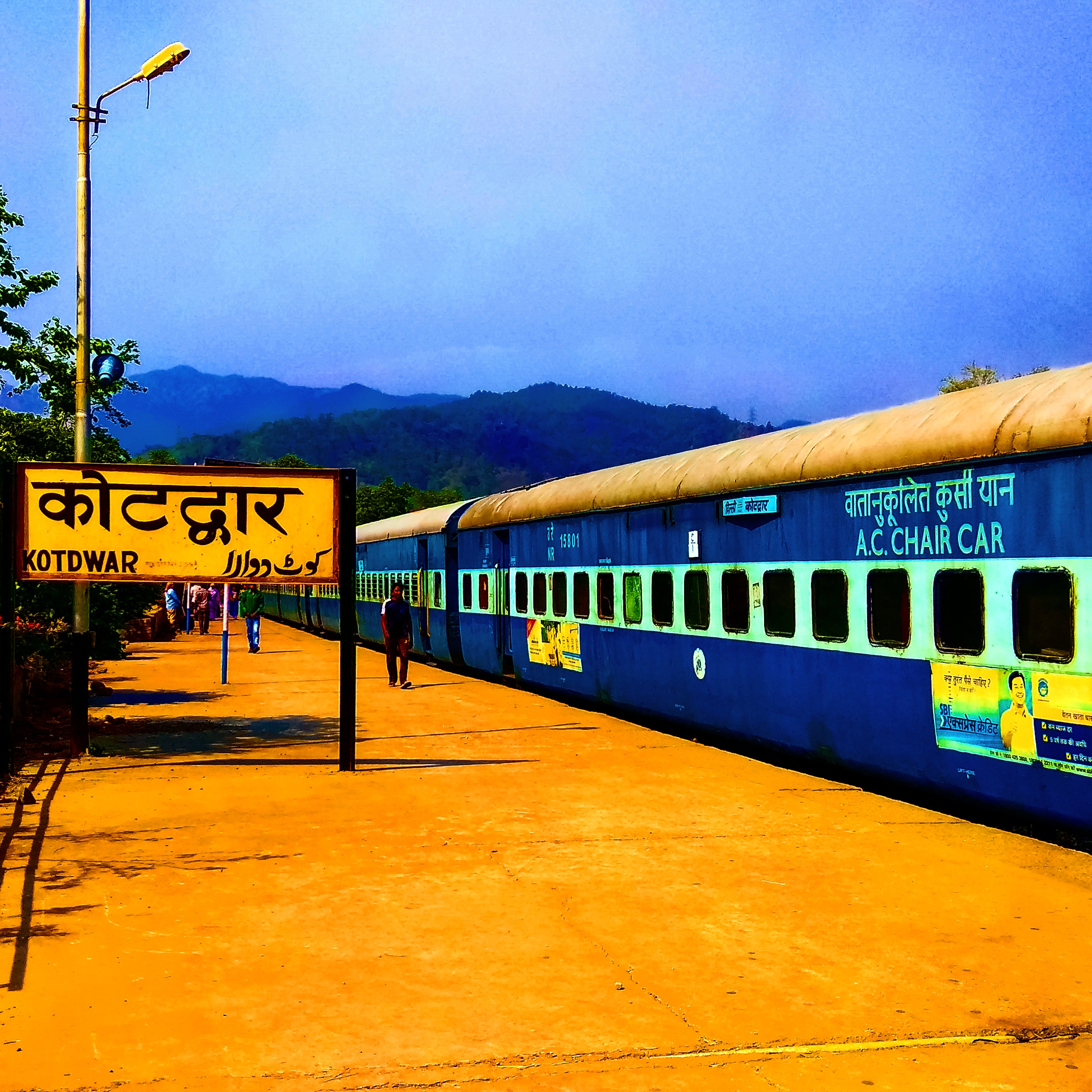
Kotdwar is a city, municipal corporation in Pauri Garhwal district of Uttarakhand, India. It's just 101 km from Pauri town , the district headquarter. It is the eighth-largest city in Uttarakhand. Its old name was "Khohdwar", which means the gateway of the river Khoh since it is located on the bank of river Khoh. It is situated in the southwestern part of the state and is one of the main entrance points in the state of Uttarakhand. Initially isolated and less known, it came into prominence when it was connected with rails in 1890 by the Britishers. Kotdwar is famous for its well-known and holy Sidhbali Temple which is situated from Kotdwar. Sidhbali Temple is dedicated to Lord Hanuman and is visited by hundreds of believers all around the year. Etymology Kotdwar means Gateway to Garhwal because it's a gateway to hills of Pauri Garhwal region in Uttarakhand. History The city was initially ruled by the Mauryan Empire under the Great Ashoka, followed by the rule of Katyuri d ... [...More Info...] [...Related Items...] OR: [Wikipedia] [Google] [Baidu] |
Pandwala Kalan
{{Use Indian English, date=July 2018 Pandwala Kalan, officially the Pindwala Kalan (Pindwala Kalan) is a village in South West Delhi. It is the one of the largest villages by area, the tenth most popular village (with over 3,779 people) in the Najafgarh Tehsil of South-West Delhi. It is bounded by the Daulatpur, Hasan Pur villages on the south, the Ujawa on the southwest, and the Pandwala Khurd on the southeast. It shares land borders with Shri Hans Nagar and Khera Dabar to the west; Paprawat to the northeast; and Pandwala Khurd to the east. Etymology The name Pandwala Kalan is derived from Paṇḍ (पण्ड्), which means "to collect, heap, pile up", and this root is used in the sense of knowledge. The term is found in Vedic and post-Vedic texts, but without any sociological context. In the colonial era literature, the term generally refers to Brahmins specialized in Hindu law. Aala (आला), which means the supreme leader of the organization. The latter ter ... [...More Info...] [...Related Items...] OR: [Wikipedia] [Google] [Baidu] |
Malari
Malari in the Dhauli Ganga valley of the Nanda Devi Biosphere reserve is a small village near the Tibet border. This area has been declared as a world heritage site. Located 61 km from Joshimath, the nearest ''Tehsil,'' in Chamoli District of Uttarakhand. "On the way to Malari we saw the fabled Dronagiri parvat from where Hanuman is believed to have procured Sanjivani, a plant to save the life of Lakshmana"(Ref:Himaranya - Ramananda Bharati). The villages in this valley include Reni, from where the Chipko movement of Garhwal Garhwal may refer to the following topics associated with Uttarakhand, India: Places *Garhwal Himalaya, a sub-range of the Himalayas *Garhwal Kingdom, a former kingdom * Garhwal District (British Garhwal), a former district of British India *Gar ... was started; Gaura Devi, from where the famous chipko activist hailed, as well as Lata, Peng, Tolma, Surai, Phagti, Jamgavar, Kaga and Garpag. About 18 km from Malari, Niti is the last village in ... [...More Info...] [...Related Items...] OR: [Wikipedia] [Google] [Baidu] |
Pastoralism
Pastoralism is a form of animal husbandry where domesticated animals (known as "livestock") are released onto large vegetated outdoor lands (pastures) for grazing, historically by nomadic people who moved around with their herds. The animal species involved include cattle, camels, goats, yaks, llamas, reindeer, horses and sheep. Pastoralism occurs in many variations throughout the world, generally where environmental characteristics such as aridity, poor soils, cold or hot temperatures, and lack of water make crop-growing difficult or impossible. Operating in more extreme environments with more marginal lands means that pastoral communities are very vulnerable to the effects of global warming. Pastoralism remains a way of life in many geographic areas, including Africa, the Tibetan plateau, the Eurasian steppes, the Andes, Patagonia, the Pampas, Australia and many other places. , between 200 million and 500 million people globally practised pastoralism, and 75% ... [...More Info...] [...Related Items...] OR: [Wikipedia] [Google] [Baidu] |
Bhotiya
Bhotiya or Bhot ( ne, भोटिया, ) are groups of ethno-linguistically related Tibetan people living in the Transhimalayan region that divides India from Tibet. The word ''Bhotiya'' comes from the classical Tibetan name for Tibet, , . The Bhotiya speak numerous languages including Ladakhi. The Indian recognition of such language is Bhoti / Bhotia having Tibetan scripts and it lies in the Parliament of India to become one of the official languages through Eighth Schedule of the Indian Constitution. Background The Bhotiya identify as Raghuvanshi Rajput and prefer to be referred as ''Thakur'' or ''Rajvanshi''. The Bhotiya may be the original immigrants to north Oudh in the period of Nawab Asaf-Ud-Dowlah (1775 to 1797). The Bhotiya people are closely related to several other groups and ethnic boundaries are porous. One group is the Bhutia, the main ethnolinguistic group of the northern part of the Indian state of Sikkim. A second is the Uttarakhand Bhotiya of the upper ... [...More Info...] [...Related Items...] OR: [Wikipedia] [Google] [Baidu] |


.jpg)
