|
Shipwreck Museum
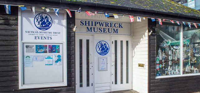
The Shipwreck Museum is an independent charitable museum in the historic Old Town of Hastings, UK. The museum has artefacts from many ships wrecked in the English Channel from the Goodwin Sands in Kent to Pevensey Bay in East Sussex, including the ''Amsterdam Amsterdam ( , , , lit. ''The Dam on the River Amstel'') is the capital and most populous city of the Netherlands, with The Hague being the seat of government. It has a population of 907,976 within the city proper, 1,558,755 in the urban ar ...'', a Dutch East Indiaman of 1749, and the ''Anne'' of 1690, a warship of Charles II. There are also exhibits of fossils found in the local area. References {{coord, 50.8561, 0.5956, type:landmark_region:GB, display=title Museums in East Sussex ... [...More Info...] [...Related Items...] OR: [Wikipedia] [Google] [Baidu] |
Hastings
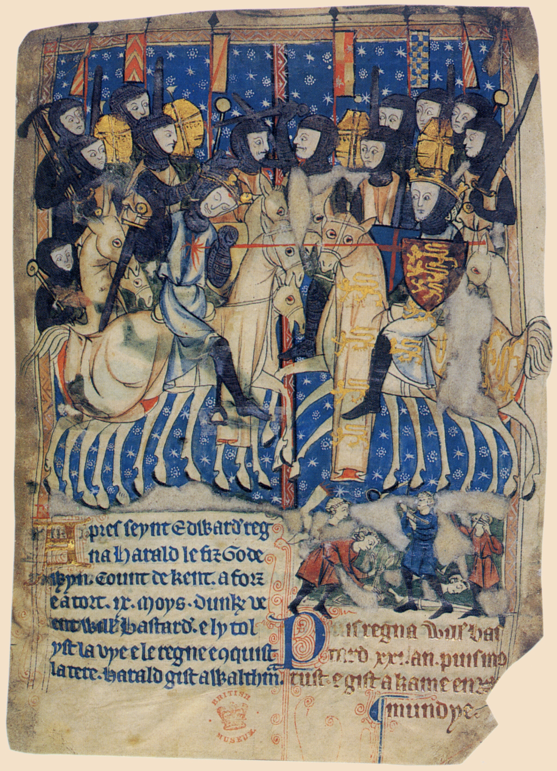
Hastings () is a large seaside town and borough in East Sussex on the south coast of England, east to the county town of Lewes and south east of London. The town gives its name to the Battle of Hastings, which took place to the north-west at Senlac Hill in 1066. It later became one of the medieval Cinque Ports. In the 19th century, it was a popular seaside resort, as the railway allowed tourists and visitors to reach the town. Today, Hastings is a fishing port with the UK's largest beach-based fishing fleet. It has an estimated population of 92,855 as of 2018. History Early history The first mention of Hastings is found in the late 8th century in the form ''Hastingas''. This is derived from the Old English tribal name '' Hæstingas'', meaning 'the constituency (followers) of Hæsta'. Symeon of Durham records the victory of Offa in 771 over the ''Hestingorum gens'', that is, "the people of the Hastings tribe." Hastingleigh in Kent was named after that tribe. The place n ... [...More Info...] [...Related Items...] OR: [Wikipedia] [Google] [Baidu] |
English Channel
The English Channel, "The Sleeve"; nrf, la Maunche, "The Sleeve" (Cotentinais) or ( Jèrriais), (Guernésiais), "The Channel"; br, Mor Breizh, "Sea of Brittany"; cy, Môr Udd, "Lord's Sea"; kw, Mor Bretannek, "British Sea"; nl, Het Kanaal, "The Channel"; german: Ärmelkanal, "Sleeve Channel" ( French: ''la Manche;'' also called the British Channel or simply the Channel) is an arm of the Atlantic Ocean that separates Southern England from northern France. It links to the southern part of the North Sea by the Strait of Dover at its northeastern end. It is the busiest shipping area in the world. It is about long and varies in width from at its widest to at its narrowest in the Strait of Dover."English Channel". ''The Columbia Encyclopedia'', 2004. It is the smallest of the shallow seas around the continental shelf of Europe, covering an area of some . The Channel was a key factor in Britain becoming a naval superpower and has been utilised by Britain as a natural def ... [...More Info...] [...Related Items...] OR: [Wikipedia] [Google] [Baidu] |
Goodwin Sands
Goodwin Sands is a sandbank at the southern end of the North Sea lying off the Deal coast in Kent, England. The area consists of a layer of approximately depth of fine sand resting on an Upper Chalk platform belonging to the same geological feature that incorporates the White Cliffs of Dover. The banks lie between above the low water mark to around below low water, except for one channel that drops to around below. Tides and currents are constantly shifting the shoals. More than 2,000 ships are believed to have been wrecked upon the Goodwin Sands because they lie close to the major shipping lanes through the Straits of Dover. The few miles between the sands and the coast is also a safe anchorage, known as The Downs, used as a refuge from foul weather. Due to the dangers, the area – which also includes Brake Bank – is marked by numerous lightvessels and buoys. Notable shipwrecks include in 1703, in 1740, the in 1914, and the South Goodwin Lightship, whic ... [...More Info...] [...Related Items...] OR: [Wikipedia] [Google] [Baidu] |
Kent
Kent is a county in South East England and one of the home counties. It borders Greater London to the north-west, Surrey to the west and East Sussex to the south-west, and Essex to the north across the estuary of the River Thames; it faces the French department of Pas-de-Calais across the Strait of Dover. The county town is Maidstone. It is the fifth most populous county in England, the most populous non-Metropolitan county and the most populous of the home counties. Kent was one of the first British territories to be settled by Germanic tribes, most notably the Jutes, following the withdrawal of the Romans. Canterbury Cathedral in Kent, the oldest cathedral in England, has been the seat of the Archbishops of Canterbury since the conversion of England to Christianity that began in the 6th century with Saint Augustine. Rochester Cathedral in Medway is England's second-oldest cathedral. Located between London and the Strait of Dover, which separates England from mainla ... [...More Info...] [...Related Items...] OR: [Wikipedia] [Google] [Baidu] |
Pevensey
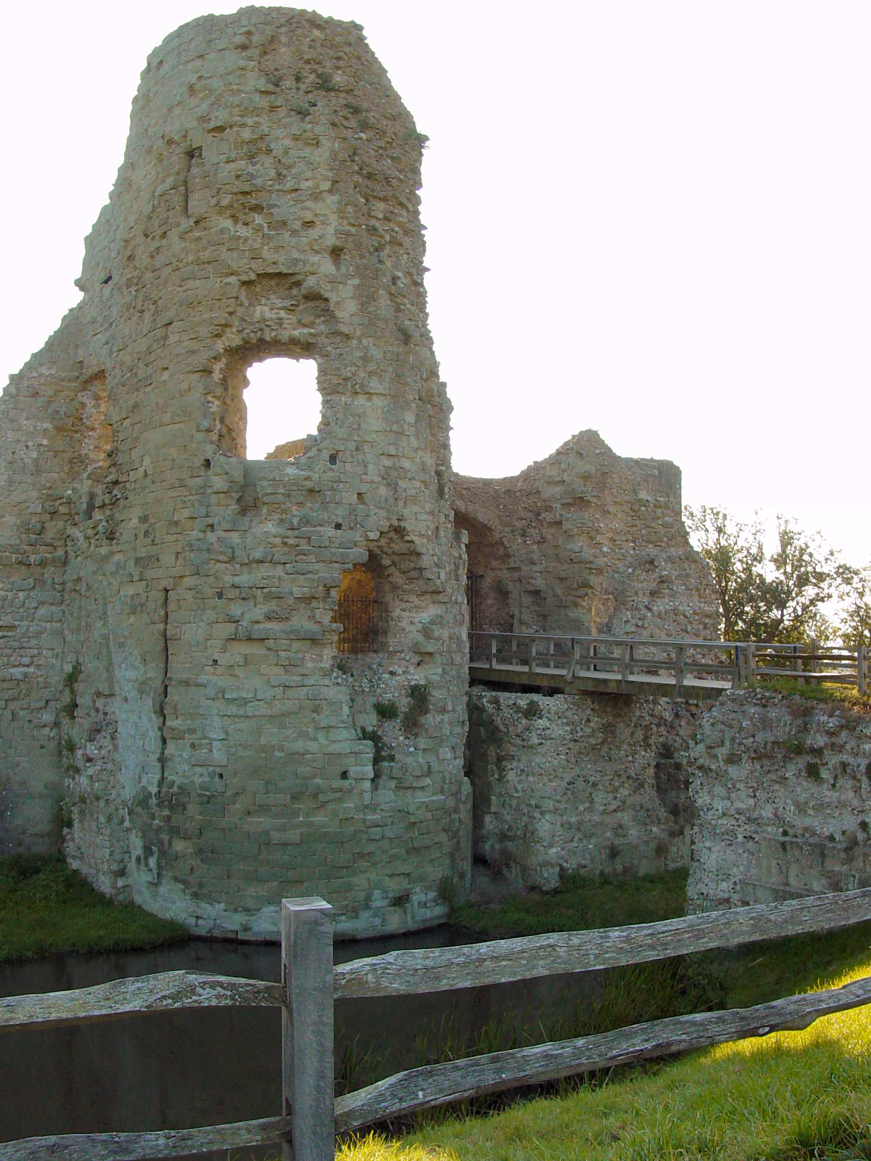
Pevensey ( ) is a village and civil parish in the Wealden district of East Sussex, England. The main village is located north-east of Eastbourne, one mile (1.6 km) inland from Pevensey Bay. The settlement of Pevensey Bay forms part of the parish. It was here that William the Conqueror made the landing in his invasion of England in 1066 after crossing the English Channel from Normandy. Geography Pevensey is situated on a spur of sand and clay, about above sea level. In Roman times this spur was a peninsula that projected into a tidal lagoon and marshes. A small river, Pevensey Haven, runs along the north side of the peninsula and would originally have discharged into the lagoon, but is now largely silted up. The lagoon extended inland as far north as Hailsham and eastwards to Hooe. With the effect of longshore drift this large bay was gradually cut off from the sea by shingle, so that today's marshes are all that remain behind the shingle beach. The marshes, known ... [...More Info...] [...Related Items...] OR: [Wikipedia] [Google] [Baidu] |
East Sussex
East Sussex is a ceremonial and non-metropolitan county in South East England on the English Channel coast. It is bordered by Kent to the north and east, West Sussex to the west, and Surrey to the north-west. The largest settlement in East Sussex is the city of Brighton and Hove. History East Sussex is part of the historic county of Sussex, which has its roots in the ancient kingdom of the South Saxons, who established themselves there in the 5th century AD, after the departure of the Romans. Archaeological remains are plentiful, especially in the upland areas. The area's position on the coast has also meant that there were many invaders, including the Romans and later the Normans. Earlier industries have included fishing, iron-making, and the wool trade, all of which have declined, or been lost completely. Governance Sussex was historically sub-divided into six rapes. From the 12th century the three eastern rapes together and the three western rapes together had separ ... [...More Info...] [...Related Items...] OR: [Wikipedia] [Google] [Baidu] |
Amsterdam (VOC Ship)
The ''Amsterdam'' () was an 18th-century cargo ship of the Dutch East India Company (Dutch: ''Vereenigde Oost-Indische Compagnie''; ''VOC''). The VOC was established in 1602. The ship started its maiden voyage from Texel to Batavia on 8 January 1749, but was wrecked in a storm on the English Channel on 26 January 1749. The shipwreck was discovered in 1969 in the bay of Bulverhythe, near Hastings on the English south coast, and is sometimes visible during low tides. The location in 1969 was found by Bill Young, the site agent/project manager for the sewage outfall being built by the William Press Group. With time on his hands during the long stay away from home, he followed up the rumour of the going aground. He was castigated by the Museum of London for scooping out the interior of the bow with a digger as it could have led to the structure collapsing. However, it uncovered the initial items which led to a more extensive excavation of the cargo which reflected life at the time ... [...More Info...] [...Related Items...] OR: [Wikipedia] [Google] [Baidu] |
Charles II Of England
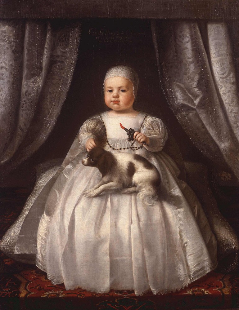
Charles II (29 May 1630 – 6 February 1685) was King of Scotland from 1649 until 1651, and King of England, Scotland and Ireland from the 1660 Restoration of the monarchy until his death in 1685. Charles II was the eldest surviving child of Charles I of England, Scotland and Ireland and Henrietta Maria of France. After Charles I's execution at Whitehall on 30 January 1649, at the climax of the English Civil War, the Parliament of Scotland proclaimed Charles II king on 5 February 1649. But England entered the period known as the English Interregnum or the English Commonwealth, and the country was a de facto republic led by Oliver Cromwell. Cromwell defeated Charles II at the Battle of Worcester on 3 September 1651, and Charles fled to mainland Europe. Cromwell became virtual dictator of England, Scotland and Ireland. Charles spent the next nine years in exile in France, the Dutch Republic and the Spanish Netherlands. The political crisis that followed Cromwell's death in 1 ... [...More Info...] [...Related Items...] OR: [Wikipedia] [Google] [Baidu] |


