|
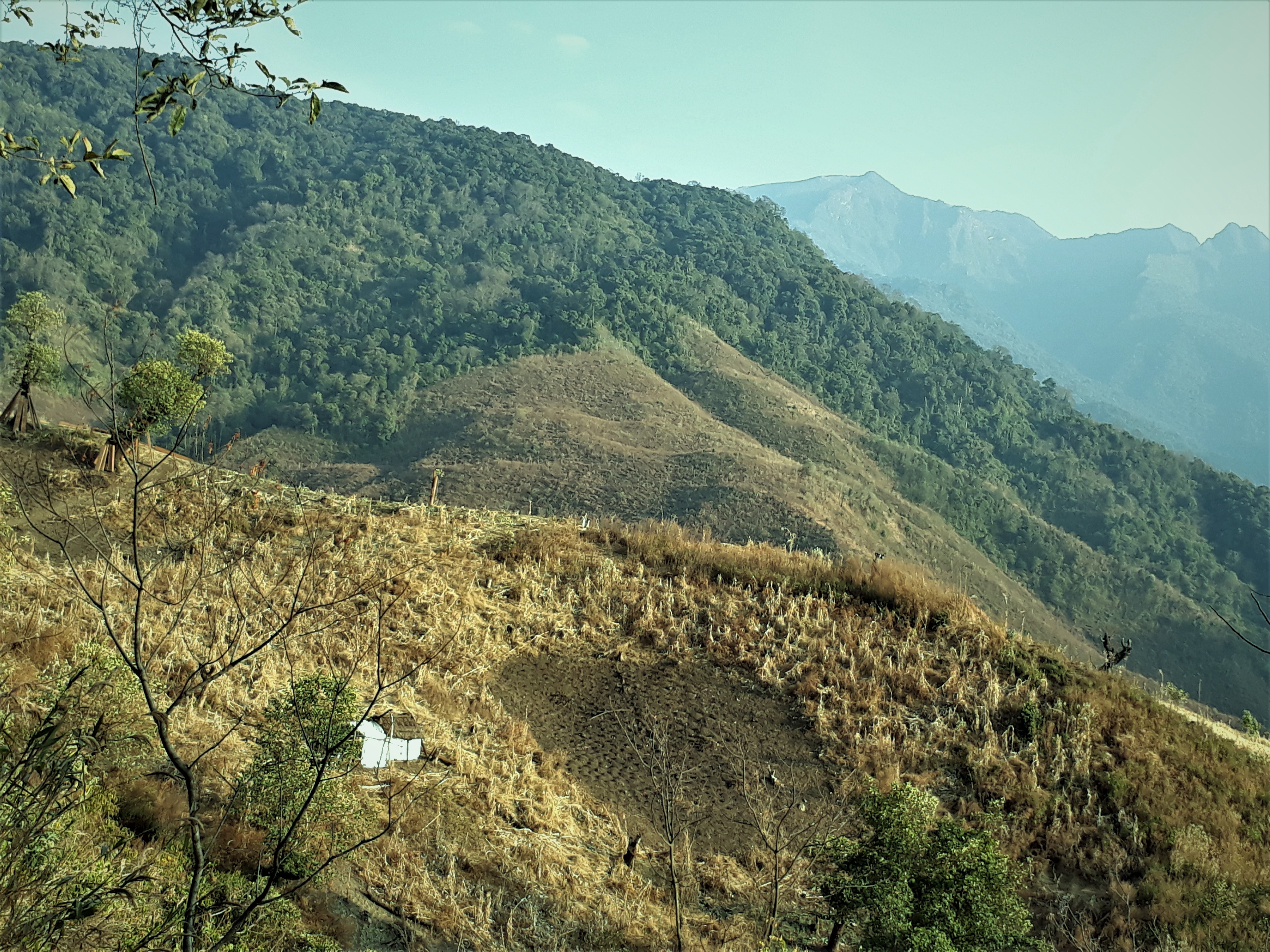
Seyochung
Seyochung is a settlement in Kiphire district of Nagaland state of India.District Census Handbook: Kiphire " Census of India 2011, Directorate of Census Operations, Nagaland, Government of India, 2011 Population According to the2011 Census of India
The 2011 Census of India or the 15th Indian Census was conducted in two phases, house listing and population enumeration. The House listing phase began on 1 April 2010 and involved the collection of information about all buildings. Information ... , there were two parts of Seyochung. Seyochung Hq had a population of 840, while Sey ...
[...More Info...] [...Related Items...] OR: [Wikipedia] [Google] [Baidu] |
Kiphire District
Kiphire District (Pron:/ˈkɪfɑɪə/) is a district in the Indian state of Nagaland. At , the district is the tenth-most populous district of Nagaland and 625th most populous district in India with 74,004 inhabitants. The district is home to 3.74% population of Nagaland. The district headquarters is at Kiphire, 230 kilometres from state-capital Kohima. It is the fourth most backward district in India, according to the 2018 NITI Aayog rankings. History Kiphire district was carved out of Tuensang district in 2003. It became the eleventh district of Nagaland after it was carved out. An administrative headquarters at Kiphire was created on 16 June 1952 after surveys were done to open more administrative headquarters. The district was formally created in 2003 with 7 subdivisions, namely, Seyochung, Pungro, Amahator, Kiphire Sadar, Longmatra, Sitimi and Kiusam. Another subdivision, namely, Khongsa was carved out of Pungro subdivision taking the total number of subdivisions of Ki ... [...More Info...] [...Related Items...] OR: [Wikipedia] [Google] [Baidu] |
Nagaland
Nagaland () is a landlocked state in the northeastern region of India. It is bordered by the Indian states of Arunachal Pradesh to the north, Assam to the west, Manipur to the south and the Sagaing Region of Myanmar to the east. Its capital city is Kohima and its largest city is Dimapur. The state has an area of with a population of 1,980,602 as per the 2011 Census of India, making it one of the smallest states in India.Census of India 2011 Govt of India Nagaland became the 16th state of India on 1 December 1963. It is home to a rich variety of natural, cultural and environmental resources. Nagaland is a mountainous state and lies between the parallels of 95 and 94 degrees east longitude and 25.2 and 27.0 degrees latitude north. The high-profile [...More Info...] [...Related Items...] OR: [Wikipedia] [Google] [Baidu] |
Indian Standard Time
Indian Standard Time (IST), sometimes also called India Standard Time, is the time zone observed throughout India, with a time offset of UTC+05:30. India does not observe daylight saving time or other seasonal adjustments. In military and aviation time, IST is designated E* ("Echo-Star"). It is indicated as Asia/Kolkata in the IANA time zone database. History After Independence in 1947, the Union government established IST as the official time for the whole country, although Kolkata and Mumbai retained their own local time (known as Calcutta Time and Bombay Time) until 1948 and 1955, respectively. The Central observatory was moved from Chennai to a location at Shankargarh Fort in Allahabad district, so that it would be as close to UTC+05:30 as possible. Daylight Saving Time (DST) was used briefly during the China–India War of 1962 and the Indo-Pakistani Wars of 1965 and 1971. Calculation Indian Standard Time is calculated from the clock tower in Mirzapur nearly exa ... [...More Info...] [...Related Items...] OR: [Wikipedia] [Google] [Baidu] |
2011 Census Of India
The 2011 Census of India or the 15th Indian Census was conducted in two phases, house listing and population enumeration. The House listing phase began on 1 April 2010 and involved the collection of information about all buildings. Information for National Population Register (NPR) was also collected in the first phase, which will be used to issue a 12-digit unique identification number to all registered Indian residents by Unique Identification Authority of India. The second population enumeration phase was conducted between 9 and 28 February 2011. Census has been conducted in India since 1872 and 2011 marks the first time biometric information was collected. According to the provisional reports released on 31 March 2011, the Indian population increased to 1.21 billion with a decadal growth of 17.70%. Adult literacy rate increased to 74.04% with a decadal growth of 9.21%. The motto of the census was 'Our Census, Our future'. Spread across 28 states and 8 union territories, t ... [...More Info...] [...Related Items...] OR: [Wikipedia] [Google] [Baidu] |


