|
Science Museum Of Map And Survey
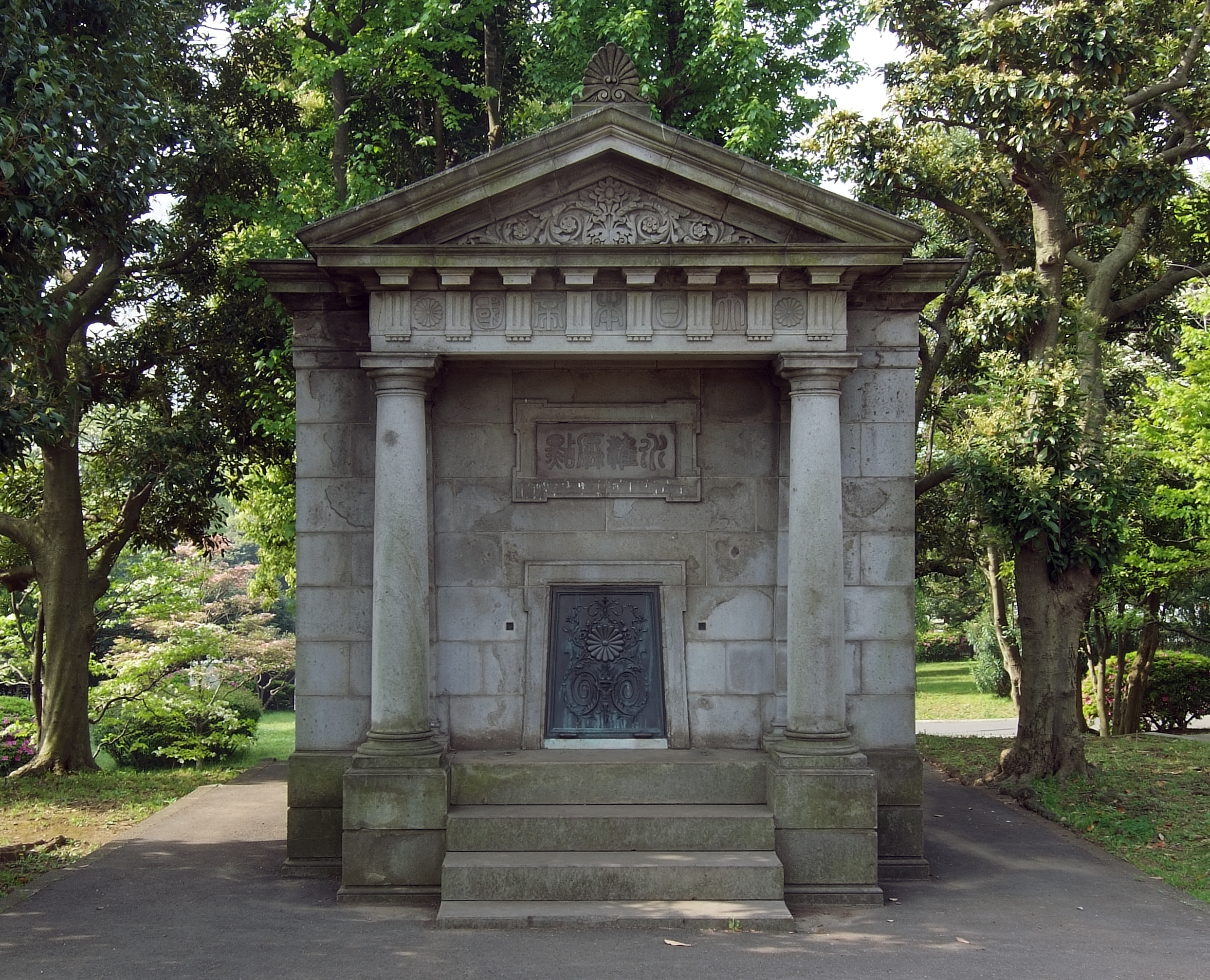
The is a museum in Tsukuba, Ibaraki, Japan that is dedicated to mapping and surveying. The museum was the first of its kind in Japan when it was opened by the Geographical Survey Institute of Japan The , or GSI, is the national institution responsible for surveying and mapping the national land of Japan. The former name of the organization from 1949 until March 2010 was Geographical Survey Institute; despite the rename, it retains the same ... in June 1996. External linksOfficial website Tsukuba, Ibaraki Science museums in Japan [...More Info...] [...Related Items...] OR: [Wikipedia] [Google] [Baidu] |
Tsukuba, Ibaraki
is a city located in Ibaraki Prefecture, Japan. , the city had an estimated population of 244,528 in 108,669 households and a population density of 862 persons per km². The percentage of the population aged over 65 was 20.3%. The total area of the city is . It is known as the location of the , a planned science park developed in the 1960s. Geography Tsukuba is located in southern Ibaraki Prefecture, approximately 50 kilometers from central Tokyo and about 40 kilometers from Narita International Airport. Mount Tsukuba, from which the city takes its name is located in the northern part of the city. Except for the area around Mount Tsukuba, the city is a part of the Kantō Plain with an altitude of 20 to 30 meters. Mountains: Mount Tsukuba, Mount Hokyo. Rivers: Kokai River, Sakura River, Higashiyata River, Nishiyata River, Ono River, Hanamuro River, Inari River. Parks: The city has more of 100 parks and green areas to relax. Different parks are connected by pedestrian w ... [...More Info...] [...Related Items...] OR: [Wikipedia] [Google] [Baidu] |
Ibaraki Prefecture
is a Prefectures of Japan, prefecture of Japan located in the Kantō region of Honshu. Ibaraki Prefecture has a population of 2,871,199 (1 June 2019) and has a geographic area of . Ibaraki Prefecture borders Fukushima Prefecture to the north, Tochigi Prefecture to the northwest, Saitama Prefecture to the southwest, Chiba Prefecture to the south, and the Pacific Ocean to the east. Mito, Ibaraki, Mito, the capital, is the largest city in Ibaraki Prefecture. Other major cities include Tsukuba, Ibaraki, Tsukuba, Hitachi, Ibaraki, Hitachi, and Hitachinaka, Ibaraki, Hitachinaka. Ibaraki Prefecture is located on Japan's eastern Pacific coast to the northeast of Tokyo, and is part of the Greater Tokyo Area, the most populous metropolitan area in the world. Ibaraki Prefecture features Lake Kasumigaura, the second-largest lake in Japan; the Tone River, Japan's second-longest river and largest drainage basin; and Mount Tsukuba, one of the most famous mountains in Japan. Ibaraki Prefectur ... [...More Info...] [...Related Items...] OR: [Wikipedia] [Google] [Baidu] |
Japan
Japan ( ja, 日本, or , and formally , ''Nihonkoku'') is an island country in East Asia. It is situated in the northwest Pacific Ocean, and is bordered on the west by the Sea of Japan, while extending from the Sea of Okhotsk in the north toward the East China Sea, Philippine Sea, and Taiwan in the south. Japan is a part of the Ring of Fire, and spans Japanese archipelago, an archipelago of List of islands of Japan, 6852 islands covering ; the five main islands are Hokkaido, Honshu (the "mainland"), Shikoku, Kyushu, and Okinawa Island, Okinawa. Tokyo is the Capital of Japan, nation's capital and largest city, followed by Yokohama, Osaka, Nagoya, Sapporo, Fukuoka, Kobe, and Kyoto. Japan is the List of countries and dependencies by population, eleventh most populous country in the world, as well as one of the List of countries and dependencies by population density, most densely populated and Urbanization by country, urbanized. About three-fourths of Geography of Japan, the c ... [...More Info...] [...Related Items...] OR: [Wikipedia] [Google] [Baidu] |
Cartography
Cartography (; from grc, χάρτης , "papyrus, sheet of paper, map"; and , "write") is the study and practice of making and using maps. Combining science, aesthetics and technique, cartography builds on the premise that reality (or an imagined reality) can be modeled in ways that communicate spatial information effectively. The fundamental objectives of traditional cartography are to: * Set the map's agenda and select traits of the object to be mapped. This is the concern of map editing. Traits may be physical, such as roads or land masses, or may be abstract, such as toponyms or political boundaries. * Represent the terrain of the mapped object on flat media. This is the concern of map projections. * Eliminate characteristics of the mapped object that are not relevant to the map's purpose. This is the concern of generalization. * Reduce the complexity of the characteristics that will be mapped. This is also the concern of generalization. * Orchestrate the elements of the ... [...More Info...] [...Related Items...] OR: [Wikipedia] [Google] [Baidu] |
Surveying
Surveying or land surveying is the technique, profession, art, and science of determining the terrestrial two-dimensional or three-dimensional positions of points and the distances and angles between them. A land surveying professional is called a land surveyor. These points are usually on the surface of the Earth, and they are often used to establish maps and boundaries for ownership, locations, such as the designed positions of structural components for construction or the surface location of subsurface features, or other purposes required by government or civil law, such as property sales. Surveyors work with elements of geodesy, geometry, trigonometry, regression analysis, physics, engineering, metrology, programming languages, and the law. They use equipment, such as total stations, robotic total stations, theodolites, GNSS receivers, retroreflectors, 3D scanners, LiDAR sensors, radios, inclinometer, handheld tablets, optical and digital levels, subsurface locators, d ... [...More Info...] [...Related Items...] OR: [Wikipedia] [Google] [Baidu] |
Geographical Survey Institute Of Japan
The , or GSI, is the national institution responsible for surveying and mapping the national land of Japan. The former name of the organization from 1949 until March 2010 was Geographical Survey Institute; despite the rename, it retains the same initials. It is an extraordinary organ of the Ministry of Land, Infrastructure, Transport and Tourism. Its main offices are situated in Tsukuba City of Ibaraki Prefecture. It also runs a museum, situated in Tsukuba, the Science Museum of Map and Survey. Earthquake Precursor Prediction Research Stationary MT monitoring systems have been installed in Japan since April 1996, providing a continuous recording of MT signals at the Mizusawa Geodetic Observatory and the Esashi Station of the GSI. These stations measure fluctuations in the earth's electromagnetic field that correspond with seismic activity. The raw geophysical time-series data from these monitoring stations is freely available to the scientific community, enabling further study ... [...More Info...] [...Related Items...] OR: [Wikipedia] [Google] [Baidu] |
Science Museums In Japan
Science is a systematic endeavor that builds and organizes knowledge in the form of testable explanations and predictions about the universe. Science may be as old as the human species, and some of the earliest archeological evidence for scientific reasoning is tens of thousands of years old. The earliest written records in the history of science come from Ancient Egypt and Mesopotamia in around 3000 to 1200 BCE. Their contributions to mathematics, astronomy, and medicine entered and shaped Greek natural philosophy of classical antiquity, whereby formal attempts were made to provide explanations of events in the physical world based on natural causes. After the fall of the Western Roman Empire, knowledge of Greek conceptions of the world deteriorated in Western Europe during the early centuries (400 to 1000 CE) of the Middle Ages, but was preserved in the Muslim world during the Islamic Golden Age and later by the efforts of Byzantine Greek scholars who brought Greek ... [...More Info...] [...Related Items...] OR: [Wikipedia] [Google] [Baidu] |
Museums In Ibaraki Prefecture
A museum ( ; plural museums or, rarely, musea) is a building or institution that Preservation (library and archival science), cares for and displays a collection (artwork), collection of artifacts and other objects of artistic, culture, cultural, history, historical, or science, scientific importance. Many public museums make these items available for public viewing through display case, exhibits that may be permanent or temporary. The largest museums are located in major cities throughout the world, while thousands of local museums exist in smaller cities, towns, and rural areas. Museums have varying aims, ranging from the conservation and documentation of their collection, serving researchers and specialists, to catering to the general public. The goal of serving researchers is not only scientific, but intended to serve the general public. There are many types of museums, including art museums, natural history museums, science museums, war museums, and children's museums. Ac ... [...More Info...] [...Related Items...] OR: [Wikipedia] [Google] [Baidu] |
Cartography Organizations
Cartography (; from grc, χάρτης , "papyrus, sheet of paper, map"; and , "write") is the study and practice of making and using maps. Combining science, aesthetics and technique, cartography builds on the premise that reality (or an imagined reality) can be modeled in ways that communicate spatial information effectively. The fundamental objectives of traditional cartography are to: * Set the map's agenda and select traits of the object to be mapped. This is the concern of map editing. Traits may be physical, such as roads or land masses, or may be abstract, such as toponyms or political boundaries. * Represent the terrain of the mapped object on flat media. This is the concern of map projections. * Eliminate characteristics of the mapped object that are not relevant to the map's purpose. This is the concern of generalization. * Reduce the complexity of the characteristics that will be mapped. This is also the concern of generalization. * Orchestrate the elements of th ... [...More Info...] [...Related Items...] OR: [Wikipedia] [Google] [Baidu] |
Museums Established In 1996
A museum ( ; plural museums or, rarely, musea) is a building or institution that cares for and displays a collection of artifacts and other objects of artistic, cultural, historical, or scientific importance. Many public museums make these items available for public viewing through exhibits that may be permanent or temporary. The largest museums are located in major cities throughout the world, while thousands of local museums exist in smaller cities, towns, and rural areas. Museums have varying aims, ranging from the conservation and documentation of their collection, serving researchers and specialists, to catering to the general public. The goal of serving researchers is not only scientific, but intended to serve the general public. There are many types of museums, including art museums, natural history museums, science museums, war museums, and children's museums. According to the International Council of Museums (ICOM), there are more than 55,000 museums in 202 cou ... [...More Info...] [...Related Items...] OR: [Wikipedia] [Google] [Baidu] |
1996 Establishments In Japan
File:1996 Events Collage.png, From left, clockwise: A bomb explodes at Centennial Olympic Park in Atlanta, set off by a radical anti-abortionist; The center fuel tank explodes on TWA Flight 800, causing the plane to crash and killing everyone on board; Eight people die in a blizzard on Mount Everest; Dolly the Sheep becomes the first mammal to have been cloned from an adult somatic cell; The Port Arthur Massacre occurs on Tasmania, and leads to major changes in Australia's gun laws; Macarena, sung by Los del Río and remixed by The Bayside Boys, becomes a major dance craze and cultural phenomenon; Ethiopian Airlines Flight 961 crash-ditches off of the Comoros Islands after the plane was hijacked; the 1996 Summer Olympics are held in Atlanta, marking the Centennial (100th Anniversary) of the modern Olympic Games., 300x300px, thumb rect 0 0 200 200 Centennial Olympic Park bombing rect 200 0 400 200 TWA FLight 800 rect 400 0 600 200 1996 Mount Everest disaster rect 0 200 300 400 1 ... [...More Info...] [...Related Items...] OR: [Wikipedia] [Google] [Baidu] |


_crop.jpg)


