|
Scheduled Monuments In Lancashire
__NOTOC__ This is a list of scheduled monuments in the English county of Lancashire. In the United Kingdom, a scheduled monument is a "nationally important" archaeological site or historic building that has been given protection against unauthorised change by being placed on a list (or "schedule") by the Secretary of State for Digital, Culture, Media and Sport; Historic England takes the leading role in identifying such sites. Scheduled monuments are defined in the Ancient Monuments and Archaeological Areas Act 1979 and the National Heritage Act 1983. There are about 20,000 scheduled monument entries on the list, which is maintained by Historic England; more than one site can be included in a single entry. While a scheduled monument can also be recognised as a listed building, Historic England considers listed building status as a better way of protecting buildings than scheduled monument status. If a monument is considered by Historic England to "no longer merit scheduling" it ... [...More Info...] [...Related Items...] OR: [Wikipedia] [Google] [Baidu] |
Ribchester Bath House
Ribchester is a village and civil parish within the Ribble Valley district of Lancashire, England. It lies on the banks of the River Ribble, northwest of Blackburn and east of Preston, Lancashire, Preston. The village has a long history with evidence of Bronze Age beginnings. It is well known as a significant Ancient Rome, Roman site being the location of a Roman cavalry fort called Bremetennacum, some parts of which have been exposed by excavation. In common with many towns and villages in East Lancashire its later history was dominated by cotton weaving; firstly in the form of hand-loom weaving and later in two mills. Neither mill still operates and the village is primarily a commuter town, dormitory village for commuters to the town of Blackburn and the cities of Preston and Manchester. The main access road into Ribchester is the B6245 road, B6245. From the north-west, this is Preston Road, which merges into Church Street, Ribchester, Church Street. From the east, it is Bl ... [...More Info...] [...Related Items...] OR: [Wikipedia] [Google] [Baidu] |
Warton Crag
Warton Crag is a limestone hill in north west Lancashire, England. It lies to the north west of Warton village, in City of Lancaster district. At it is the highest point in the Arnside and Silverdale Area of Outstanding Natural Beauty, and is listed as a "HuMP" or "Hundred Metre Prominence", having a "drop" or "prominence" of with its parent being Hutton Roof Crags. Two areas are Local Nature Reserves, called Warton Crag and Warton Crag Quarry. Different sections are owned by Lancashire County Council, the Wildlife Trust for Lancashire, Manchester and North Merseyside, Lancaster City Council and the Royal Society for the Protection of Birds. Two caves on the west side of the hill called Dog Holes and Badger Hole show signs of early human occupation, with excavations finding a range of artefacts. The summit of the hill is the site of a small multivallate hillfort, which has long been assumed to date to the Iron Age period. The approximately enclosure was defended by r ... [...More Info...] [...Related Items...] OR: [Wikipedia] [Google] [Baidu] |
Limestone
Limestone ( calcium carbonate ) is a type of carbonate sedimentary rock which is the main source of the material lime. It is composed mostly of the minerals calcite and aragonite, which are different crystal forms of . Limestone forms when these minerals precipitate out of water containing dissolved calcium. This can take place through both biological and nonbiological processes, though biological processes, such as the accumulation of corals and shells in the sea, have likely been more important for the last 540 million years. Limestone often contains fossils which provide scientists with information on ancient environments and on the evolution of life. About 20% to 25% of sedimentary rock is carbonate rock, and most of this is limestone. The remaining carbonate rock is mostly dolomite, a closely related rock, which contains a high percentage of the mineral dolomite, . ''Magnesian limestone'' is an obsolete and poorly-defined term used variously for dolomite, for limes ... [...More Info...] [...Related Items...] OR: [Wikipedia] [Google] [Baidu] |
Tramway (industrial)
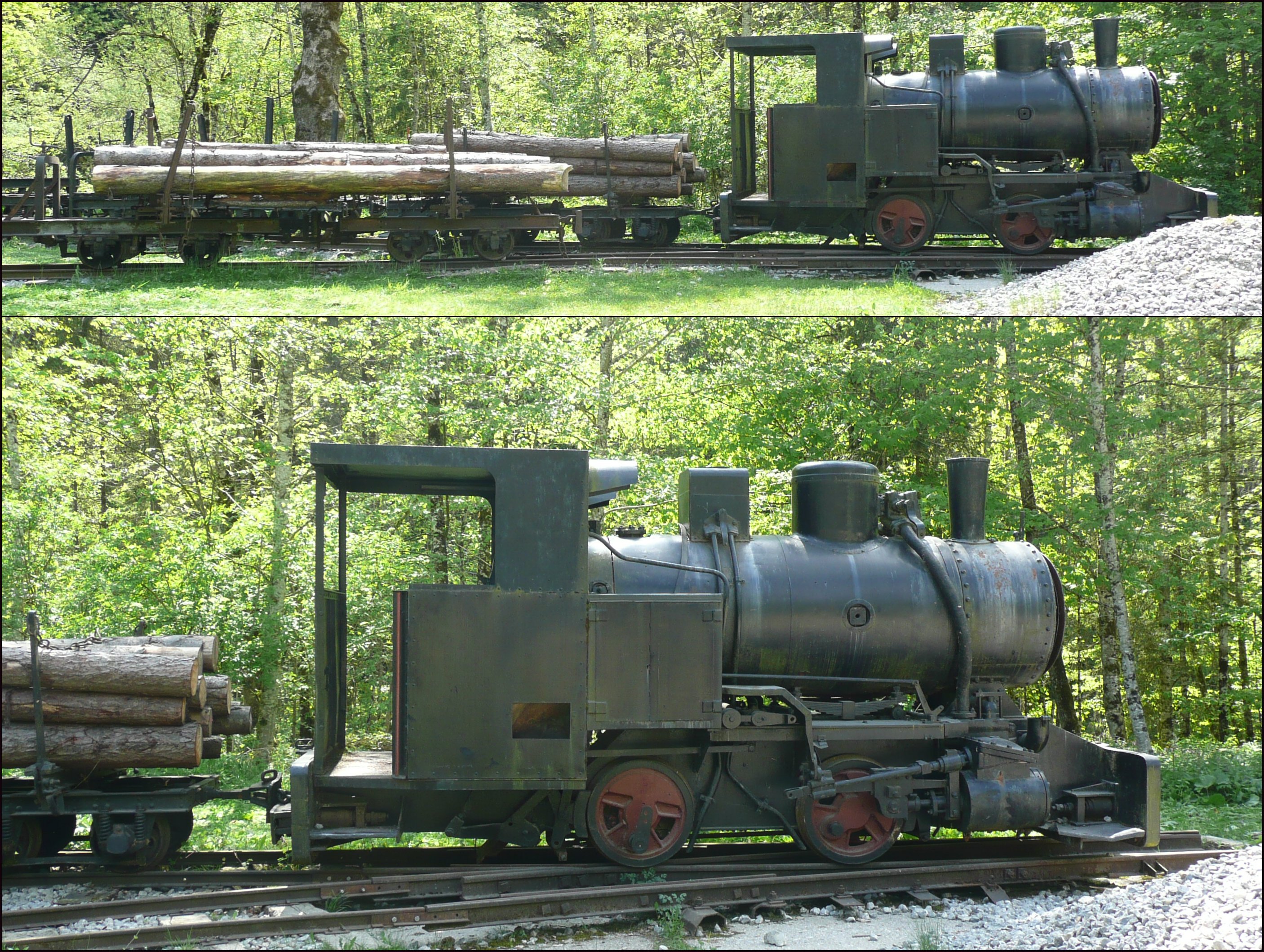
Tramways are lightly laid rail transport, railways, sometimes with the wagons or carriages moved without locomotives. Because individual tramway infrastructure is not intended to carry the weight of typical standard-gauge railway equipment, the tramways over which they operate may be built from less substantial materials. Tramways can exist in many forms; sometimes just tracks temporarily placed on the ground to transport materials around a factory, mine or quarry. Many, if not most, use narrow-gauge railway technology. The trains can be manually pushed by hand, pulled by animals (especially horses and mules), cable hauled by a stationary engine, or use small, light locomotives. The term is not in use in North America but in common use in the United Kingdom, and elsewhere, where British Railway terminology and practices had large influences on management practices, terminology, and railway cultures such as Australia, New Zealand, and those parts of Asia that consulted with Bri ... [...More Info...] [...Related Items...] OR: [Wikipedia] [Google] [Baidu] |
Clitheroe
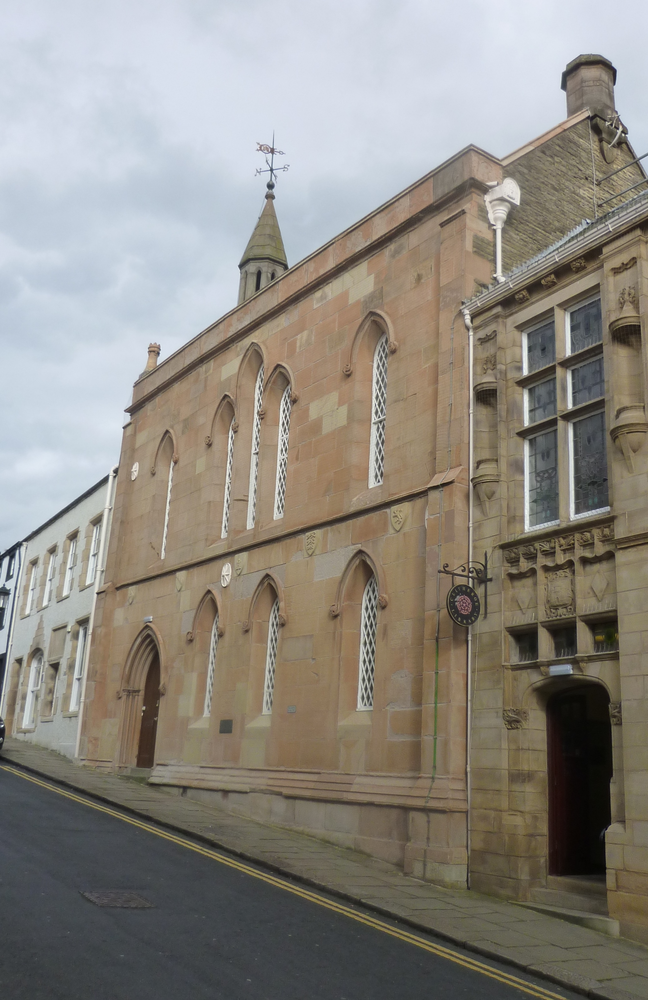
Clitheroe () is a town and civil parish in the Borough of Ribble Valley, Lancashire, England; it is located north-west of Manchester. It is near the Forest of Bowland and is often used as a base for tourists visiting the area. In 2018, the Clitheroe built-up area had an estimated population of 16,279. The town's most notable building is Clitheroe Castle, which is said to be one of the smallest Norman keeps in Great Britain. Several manufacturing companies have sites here, including Dugdale Nutrition, Hanson Cement, Johnson Matthey and Tarmac. History The name ''Clitheroe'' is thought to come from the Anglo-Saxon for "Rocky Hill", and was also spelled ''Clyderhow'' and ''Cletherwoode'', amongst others. The town was the administrative centre for the lands of the Honour of Clitheroe. The Battle of Clitheroe was fought in 1138 during the Anarchy. These lands were held by Roger de Poitou, who passed them to the De Lacy family, from whom they passed by marriage in 1310 or 1311 to ... [...More Info...] [...Related Items...] OR: [Wikipedia] [Google] [Baidu] |
Carters Big Kiln North Tunnle (2)
Carter(s), or Carter's, Tha Carter, or The Carter(s), may refer to: Geography United States * Carter, Arkansas, an unincorporated community * Carter, Mississippi, an unincorporated community * Carter, Montana, a census-designated place * Carter, Oklahoma, a town * Carter, South Dakota, an unincorporated community * Carter, Texas, a census-designated place * Carter, Forest County, Wisconsin, an unincorporated community * Carter, Iron County, Wisconsin, an unincorporated community * Carter, Wyoming, a census-designated place * Carters, Georgia, an unincorporated community * Carter County (other) Elsewhere * Carter Islands, in Nunavut, Canada * Carter Road Promenade, former name of Sangeet Samrat Naushad Ali Marg in Mubai, India People and fictional characters * Carter (name), a surname and a given name, including a list of people and fictional characters * Carter (artist), American artist and film director John Carter (born 1970) * Carter, someone whose occupatio ... [...More Info...] [...Related Items...] OR: [Wikipedia] [Google] [Baidu] |
Briercliffe
Briercliffe (historically Briercliffe-with-Extwistle) is a civil parish in the borough of Burnley, in Lancashire, England. It is situated north of Burnley. The parish contains suburbs of Burnley (including Harle Syke and Haggate), and the rural area north east of the town. Hamlets in the parish include Cockden, Lane Bottom and in the Extwistle area, the tiny hamlet of Roggerham. According to the United Kingdom Census 2011, the parish has a population of 4,031. The parish adjoins the Burnley parish of Worsthorne-with-Hurstwood and the unparished area of Burnley, the Pendle parishes of Brierfield, Nelson and Trawden Forest and West Yorkshire. History The name Briercliffe probably comes from the Old English words " briar" and , a steep slope or declivity. Extwistle may have been named from the junction (O.E. ) of Swinden Water and the River Don, while the first element could be a corruption of oxen. The parish contains a number of sites of early human occupation, including: ... [...More Info...] [...Related Items...] OR: [Wikipedia] [Google] [Baidu] |
Beadle Hill, Briercliffe East End
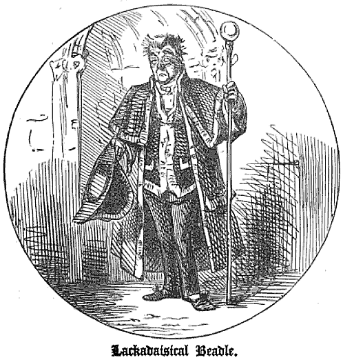
A beadle, sometimes spelled bedel, is an official of a church or synagogue who may usher, keep order, make reports, and assist in religious functions; or a minor official who carries out various civil, educational, or ceremonial duties on the manor. The term has pre-Conquest origins in Old English, deriving from the Old English ''bydel'' ("herald, messenger from an authority, preacher"), itself deriving from ''beodan'' ("to proclaim", which has a modern descendant in the English verb ''bid''). In Old English it was a title given to an Anglo-Saxon officer who summoned householders to council. It is also known in Medieval Latin as ''bedellus''. The Domesday Book refers to Beadles as ''bedelli'' or undersheriffs of manors. In religion In England, the word came to refer to a parish constable of the Anglican Church, one often charged with duties of charity. A famous fictional constabulary beadle is Mr. Bumble from Charles Dickens's classic novel '' Oliver Twist'', who overs ... [...More Info...] [...Related Items...] OR: [Wikipedia] [Google] [Baidu] |
John The Baptist
John the Baptist or , , or , ;Wetterau, Bruce. ''World history''. New York: Henry Holt and Company. 1994. syc, ܝܘܿܚܲܢܵܢ ܡܲܥܡܕ݂ܵܢܵܐ, Yoḥanān Maʿmḏānā; he, יוחנן המטביל, Yohanān HaMatbil; la, Ioannes Baptista; cop, ⲓⲱⲁⲛⲛⲏⲥ ⲡⲓⲡⲣⲟⲇⲣⲟⲙⲟⲥ or ; ar, يوحنا المعمدان; myz, ࡉࡅࡄࡀࡍࡀ ࡌࡀࡑࡁࡀࡍࡀ, Iuhana Maṣbana. The name "John" is the Anglicized form, via French, Latin and then Greek, of the Hebrew, "Yochanan", which means "YHWH is gracious"., group="note" ( – ) was a mission preacher active in the area of Jordan River in the early 1st century AD. He is also known as John the Forerunner in Christianity, John the Immerser in some Baptist Christian traditions, and Prophet Yahya in Islam. He is sometimes alternatively referred to as John the Baptiser. John is mentioned by the Roman Jewish historian Josephus and he is revered as a major religious figure Funk, Robert W. & the Jes ... [...More Info...] [...Related Items...] OR: [Wikipedia] [Google] [Baidu] |
Chantry Chapel
A chantry is an ecclesiastical term that may have either of two related meanings: # a chantry service, a Christian liturgy of prayers for the dead, which historically was an obiit, or # a chantry chapel, a building on private land, or an area in a parish church or cathedral reserved for the performance of the "chantry duties". In the Medieval Era through to the Age of Enlightenment it was commonly believed such liturgies might help atone for misdeeds and assist the soul to obtain eternal peace. Etymology The word "chantry" derives from Old French ''chanter'' and from the Latin ''cantare'' (to sing). Its medieval derivative ''cantaria'' means "licence to sing mass". The French term for this commemorative institution is ''chapellenie'' (chaplaincy). Overview Liturgy for the dead Firstly, a chantry could mean the prayers and liturgy in the Christian church for the benefit of the dead, as part of the search for atonement for sins committed during their lives. It might include the m ... [...More Info...] [...Related Items...] OR: [Wikipedia] [Google] [Baidu] |
Aighton, Bailey And Chaigley
Aighton, Bailey and Chaigley is a civil parish in the Borough of Ribble Valley in Lancashire, England, just west of Clitheroe. The population of the civil parish at the 2011 census was 1,307, an increase from 1,249 in 2001. The main settlements in the parish are Hurst Green and Walker Fold. Other places are Aighton, Bailey and Chaigley, originally three hamlets forming a township. Stonyhurst College is located near to Hurst Green, within the parish. History Aighton was mentioned in 1870 in the '' Imperial Gazetteer of England and Wales'' by John Marius Wilson, who wrote: AIGHTON, one of three hamlets forming a township in the parish of Mitton, Lancashire. It lies near Hodder river, under Longridge fell, 3½ miles NNW of Whalley r. station, and 5 WSW of Clitheroe. It contains cotton factories, a workhouse, and the Roman Catholic college of Stonyhurst. The other hamlets of the township are Bailey and Chaighley. Acres in the three, 5,780. Real property, £6,726. Pop., 1,500. ... [...More Info...] [...Related Items...] OR: [Wikipedia] [Google] [Baidu] |


