|
San Gabriel River Bike Trail
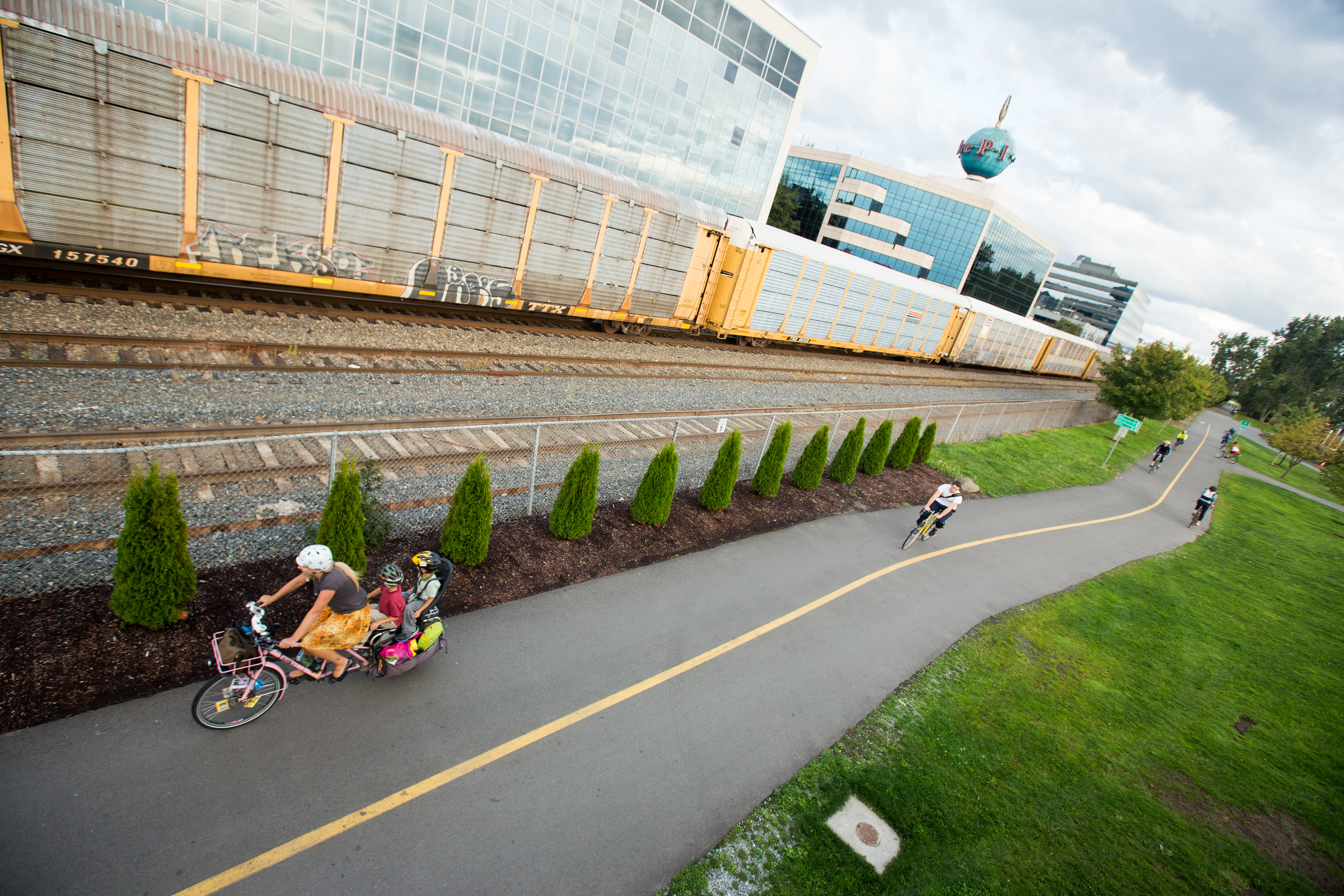
The San Gabriel River Trail (also known as SGRT) is a bike path along the San Gabriel River through El Dorado Regional Park and onto street bike trails near the Alamitos Bay Marina in Los Angeles County, California. The South end is Seal Beach. The northern segment begins near Whittier Narrows Recreation Area. Traveling north from Wilderness Park, the path switches from the East side of the river to the West side of the river over the San Gabriel River Parkway Bridge, which is designated as a bike route by the city of Pico Rivera. From Whittier Narrows, the path follows the River north into South El Monte, Baldwin Park and Irwindale to the Santa Fe Dam. The path crosses the river on Arrow Highway next to the main spillway, then loops back to climb a steep ramp up to the rim of the dam. The path traces the rim of the dam around to the east of the flood basin and park, with access at Azusa Canyon Drive (main entrance to park). The path ends at State Route 39 where it exits ... [...More Info...] [...Related Items...] OR: [Wikipedia] [Google] [Baidu] |
Bike Path
A bike path is a bikeway separated from motorized traffic and dedicated to cycling or shared with pedestrians or other non-motorized users. In the US a bike path sometimes encompasses ''shared use paths'', "multi-use path", or "Class III bikeway" is a paved path that has been designated for use by cyclists outside the right of way of a public road. It may or may not have a center divider or stripe to prevent head-on collisions. In the UK, a ''shared-use footway'' or ''multi-use path'' is for use by both cyclists and pedestrians. Bike paths with independent rights-of-way Bike paths that follow independent rights-of-way are often used to promote recreational cycling. In Northern European countries, cycling tourism represents a significant proportion of overall tourist activity. Extensive interurban bike path networks can be found in countries such as Denmark or the Netherlands, which has had a national system of cycle routes since 1993. These networks may use routes dedicated exc ... [...More Info...] [...Related Items...] OR: [Wikipedia] [Google] [Baidu] |
Duarte/City Of Hope Station
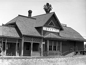
Duarte/City of Hope station is an at-grade light rail station on the A Line of the Los Angeles Metro Rail system. It is located at the intersection of Duarte Road and Highland Avenue in Duarte, California, after which the station is named, along with the City of Hope National Medical Center located across the street from the station. This station opened on March 5, 2016, as part of Phase 2A of the Gold Line Foothill Extension Project. History The 1886 Duarte train station was the terminal station for the original trains for the Los Angeles and San Gabriel Valley Railroad. The Metro A Line uses the old right of way of the Los Angeles and San Gabriel Valley Railroad who built the first train tracks and 1886 station in Duarte. The Los Angeles and San Gabriel Valley Railroad was founded in 1883, by James F. Crank with the goal of bringing a rail line to San Gabriel Valley from downtown Los Angeles. Los Angeles and San Gabriel Valley Railroad was sold on May 20, 1887, into ... [...More Info...] [...Related Items...] OR: [Wikipedia] [Google] [Baidu] |
Bike Paths In Los Angeles
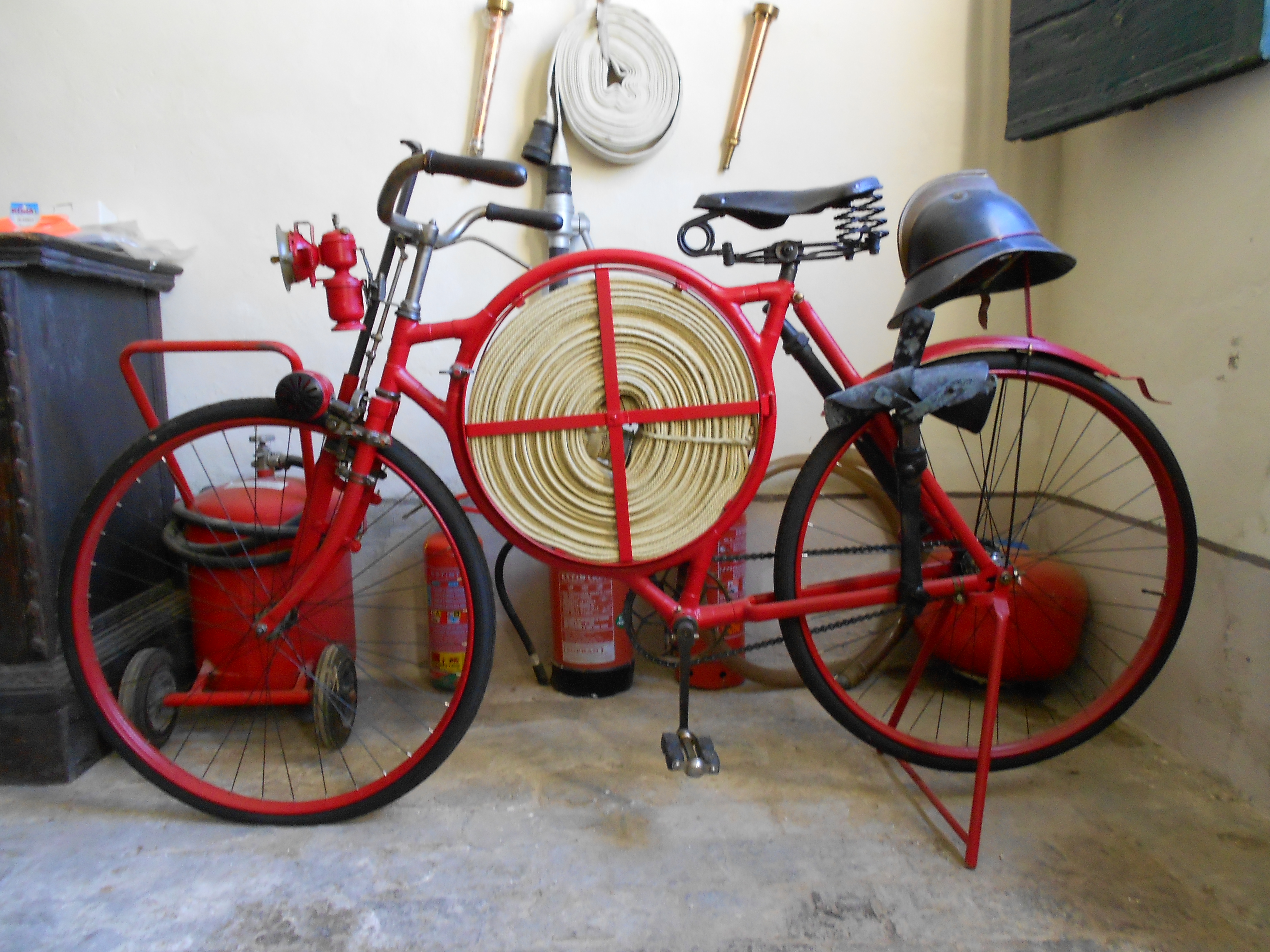
A bicycle, also called a pedal cycle, bike or cycle, is a human-powered or motor-powered assisted, pedal-driven, single-track vehicle, having two wheels attached to a frame, one behind the other. A is called a cyclist, or bicyclist. Bicycles were introduced in the 19th century in Europe. By the early 21st century, more than 1 billion were in existence. These numbers far exceed the number of cars, both in total and ranked by the number of individual models produced. They are the principal means of transportation in many regions. They also provide a popular form of recreation, and have been adapted for use as children's toys, general fitness, military and police applications, courier services, bicycle racing, and bicycle stunts. The basic shape and configuration of a typical upright or "safety bicycle", has changed little since the first chain-driven model was developed around 1885. However, many details have been improved, especially since the advent of mode ... [...More Info...] [...Related Items...] OR: [Wikipedia] [Google] [Baidu] |
Long Beach, California
Long Beach is a city in Los Angeles County, California. It is the 42nd-most populous city in the United States, with a population of 466,742 as of 2020. A charter city, Long Beach is the seventh-most populous city in California. Incorporated in 1897, Long Beach lies in Southern California in the southern part of Los Angeles County. Long Beach is approximately south of downtown Los Angeles, and is part of the Gateway Cities region. The Port of Long Beach is the second busiest container port in the United States and is among the world's largest shipping ports. The city is over an oilfield with minor wells both directly beneath the city as well as offshore. The city is known for its waterfront attractions, including the permanently docked and the Aquarium of the Pacific. Long Beach also hosts the Grand Prix of Long Beach, an IndyCar race and the Long Beach Pride Festival and Parade. California State University, Long Beach, one of the largest universities in Califor ... [...More Info...] [...Related Items...] OR: [Wikipedia] [Google] [Baidu] |
Cerritos, California
Cerritos (Spanish for "Little hills") is a city in Los Angeles County, California, United States, and is one of several cities that constitute the Gateway Cities of southeast Los Angeles County. It was incorporated on April 24, 1956. As of 2019, the population was 49,859. It is part of the Los Angeles–Long Beach–Anaheim, California Metropolitan Statistical Area designated by the Office of Management and Budget. History Cerritos was originally inhabited by Native Americans belonging to the Tongva (or "People of the Earth"). The Tongva were called the "Gabrieleños" by the Spanish settlers after the nearby Mission San Gabriel Arcángel. The Tongva were the largest group of indigenous peoples in Southern California as well as the most developed in the region. The Tongva lived off the land, deriving food from the animals or plants that could be gathered, snared or hunted, and grinding acorns as a staple. Beginning in the late 15th century, Spanish explorers arrived in t ... [...More Info...] [...Related Items...] OR: [Wikipedia] [Google] [Baidu] |
Lakewood, California
Lakewood is a city in Los Angeles County, California, United States. The population was 80,048 at the 2010 census. It is bordered by Long Beach on the west and south, Bellflower on the north, Cerritos on the northeast, Cypress on the east, and Hawaiian Gardens on the southeast. Major thoroughfares include Lakewood ( SR 19), Bellflower, and Del Amo Boulevards and Carson and South Streets. The San Gabriel River Freeway ( I-605) runs through the city's eastern regions. History Lakewood is a post-World War II planned community. Developers Louis Boyar, Mark Taper and Ben Weingart are credited with "altering forever the map of Southern California." Begun in late 1949, the completion of the developers' plan in 1953 helped in the transformation of mass-produced housing from its early phases in the 1930s and 1940s to the reality of the postwar 1950s. WWII veterans could get home loans with no down payment and a 30-year mortgage at only 4 percent interest. On the first day of sale ... [...More Info...] [...Related Items...] OR: [Wikipedia] [Google] [Baidu] |
El Dorado Park Bike Path
El Dorado Regional Park is a park in Long Beach, California, United States. It is on the east side of the city. The park is subdivided into Area I, Area II, and Area III. Area I, or El Dorado Park West, is bounded on the east by the San Gabriel River, on the north by Spring Street, and on the west by Studebaker Road. Area II is north of Spring Street, west of the 605 freeway, east of the river, and south of Wardlow Road. Area Ill is north of Wardlow Road, west of the 605 freeway, east of the river, and north of Wardlow Road. Areas II and III together compose El Dorado East Regional Park. The park sits in a flood zone, and it protects residences from spillover from the neighboring San Gabriel River. With a median household income of $130,959, the El Dorado Park area is reportedly the wealthiest in Long Beach. History The land for the park was sold to the City of Long Beach by members of the Bixby family and was financed using bond money floated in the 1950s and '60s, and th ... [...More Info...] [...Related Items...] OR: [Wikipedia] [Google] [Baidu] |
Los Angeles River Bikeway
Los Angeles River Bikeway, also known as LARIO, is a bikeway along the lower Los Angeles River in southern Los Angeles County, California. It is one of the completed sections of the Los Angeles River bicycle path, Los Angeles River Bicycle Path planned to run along the entire length of the LA River.The City of Los Angeles.gov: Visit the LA River—Los Angeles River , with map of all current LA River greenway paths and trails . accessed 3.13.2016. As any trail project along the LA River, it is part of the National Park Service Juan Bautista de Anza National Historic Trail. [...More Info...] [...Related Items...] OR: [Wikipedia] [Google] [Baidu] |
Shoreline Pedestrian Bikepath
The Shoreline Pedestrian Bikepath also known as the Long Beach Bike Path is a path along the Pacific Ocean from Shoreline Village, Long Beach, California, Shoreline Village in Downtown Long Beach, downtown Long Beach, California to Belmont Shore, Long Beach, California, Belmont Shore, Los Angeles County.City of Long Beach "Bike Paths". Parks, Recreation and Marine. City of Long Beach. Retrieved 6 June 2015/ref> It was completed in 1988 and is used by walkers, joggers, and inline skates, skaters. In 2013 the California Coastal Commission approved a second path for pedestrians to run parallel to the path used primarily by bicyclists. [...More Info...] [...Related Items...] OR: [Wikipedia] [Google] [Baidu] |
CicLAvia
CicLAvia is a nonprofit, car-free streets initiative in Los Angeles, California. The organization temporarily closes streets to motor vehicles to make them accessible to vendors and the public. It runs six times a year (once every two months) on new and repeating routes. The event is completely free to the public. “Based on a model from Bogotá, Colombia, it’s when organizers, city and county officials close a stretch of city streets to all motorized vehicles and open up the roadway for people to bike, skate, run, stroll, ride a scooter and just enjoy the neighborhood, close up. Nothing electric is allowed except for the following: E-bikes with pedal-assist—but other e-bikes must have the throttle powered off—and motorized wheelchairs.” Upwards of 100,000 people attend individual CicLAvia events, and it’s estimated that, cumulatively, more than 1.6 million people have attended them since 2010. History The First CicLAvia The first CicLAvia event, on October 10, 20 ... [...More Info...] [...Related Items...] OR: [Wikipedia] [Google] [Baidu] |
Bicycling On The San Gabriel River Trail, Long Beach, Calif
Cycling, also, when on a two-wheeled bicycle, called bicycling or biking, is the use of cycles for transport, recreation, exercise or sport. People engaged in cycling are referred to as "cyclists", "bicyclists", or "bikers". Apart from two-wheeled bicycles, "cycling" also includes the riding of unicycles, tricycles, quadricycles, recumbent and similar human-powered vehicles (HPVs). Bicycles were introduced in the 19th century and now number approximately one billion worldwide. They are the principal means of transportation in many parts of the world, especially in densely populated European cities. Cycling is widely regarded as an effective and efficient mode of transportation optimal for short to moderate distances. Bicycles provide numerous possible benefits in comparison with motor vehicles, including the sustained physical exercise involved in cycling, easier parking, increased maneuverability, and access to roads, bike paths and rural trails. Cycling also offers ... [...More Info...] [...Related Items...] OR: [Wikipedia] [Google] [Baidu] |


.jpeg/1200px-A_Squirrel_On_The_Path_(143026077).jpeg)

