|
San Diego National Wildlife Refuge Complex
The San Diego National Wildlife Refuge Complex is a series of wildlife refuges established by the United States National Wildlife Service beginning in 1972. The complex incorporates five refuges in San Diego County, California, San Diego County and Orange County, California, Orange County in California. History The first refuges were established to preserve and protect the rare birds of Southern California's coastal marshes. In the mid-1990s, the system was expanded to protect larger areas of coastal and inland open space under the Multiple Species Conservation Program, a cooperative project involving city, state, and federal authorities. The wildlife refuge complex now supports a diverse array of habitats including coastal marshes and uplands, chaparral, coastal sage scrub, oak woodland, freshwater marsh, vernal pool areas, and breeding and nesting grounds for migratory and resident birds. Seal Beach National Wildlife Refuge This refuge is located on the grounds of the Seal Beach ... [...More Info...] [...Related Items...] OR: [Wikipedia] [Google] [Baidu] |
Geographic Coordinate System
The geographic coordinate system (GCS) is a spherical or ellipsoidal coordinate system for measuring and communicating positions directly on the Earth as latitude and longitude. It is the simplest, oldest and most widely used of the various spatial reference systems that are in use, and forms the basis for most others. Although latitude and longitude form a coordinate tuple like a cartesian coordinate system, the geographic coordinate system is not cartesian because the measurements are angles and are not on a planar surface. A full GCS specification, such as those listed in the EPSG and ISO 19111 standards, also includes a choice of geodetic datum (including an Earth ellipsoid), as different datums will yield different latitude and longitude values for the same location. History The invention of a geographic coordinate system is generally credited to Eratosthenes of Cyrene, who composed his now-lost ''Geography'' at the Library of Alexandria in the 3rd century&n ... [...More Info...] [...Related Items...] OR: [Wikipedia] [Google] [Baidu] |
Intertidal Salt Marsh
A salt marsh or saltmarsh, also known as a coastal salt marsh or a tidal marsh, is a coastal ecosystem in the upper coastal intertidal zone between land and open saltwater or brackish water that is regularly flooded by the tides. It is dominated by dense stands of salt-tolerant plants such as herbs, grasses, or low shrubs. These plants are terrestrial in origin and are essential to the stability of the salt marsh in trapping and binding sediments. Salt marshes play a large role in the aquatic food web and the delivery of nutrients to coastal waters. They also support terrestrial animals and provide coastal protection. Salt marshes have historically been endangered by poorly implemented coastal management practices, with land reclaimed for human uses or polluted by upstream agriculture or other industrial coastal uses. Additionally, sea level rise caused by climate change is endangering other marshes, through erosion and submersion of otherwise tidal marshes. However, recent a ... [...More Info...] [...Related Items...] OR: [Wikipedia] [Google] [Baidu] |
Vernal Pool
Vernal pools, also called vernal ponds or ephemeral pools, are seasonal pools of water that provide habitat for distinctive plants and animals. They are considered to be a distinctive type of wetland usually devoid of fish, and thus allow the safe development of natal amphibian and insect species unable to withstand competition or predation by fish. Certain tropical fish lineages (such as killifishes) have however adapted to this habitat specifically. Vernal pools are a type of wetland. They can be surrounded by many communities/species including deciduous forest, grassland, lodgepole pine forest, blue oak woodland, sagebrush steppe, succulent coastal scrub and prairie. These pools are characteristic of Mediterranean climates, but occur in many other ecosystems. Generation and annual development During most years, a vernal pool basin will experience inundation from rain/precipitation, followed by desiccation from evapotranspiration. These conditions are commonly associated wit ... [...More Info...] [...Related Items...] OR: [Wikipedia] [Google] [Baidu] |
National Estuarine Research Reserve
The National Estuarine Research Reserve System is a network of 29 protected areas established by partnerships between the National Oceanic and Atmospheric Administration (NOAA) and coastal states. The reserves represent different biogeographic regions of the United States. The National Estuarine Research Reserve System protects more than 1.3 million acres of coastal and estuarine habitats for long-term research, water-quality monitoring, education, and coastal stewardship. Background For thousands of years, coastal and estuarine environments have provided people with food, safe harbors, transportation access, flood control, and a place to play and relax. The pressures on the nation's coast are enormous and the impacts on economies and ecosystems are becoming increasingly evident. Severe storms, climate change, pollution, habitat alteration and rapid population growth threaten the ecological functions that have supported coastal communities throughout history. Estuaries are the c ... [...More Info...] [...Related Items...] OR: [Wikipedia] [Google] [Baidu] |
Pacific Ocean
The Pacific Ocean is the largest and deepest of Earth's five oceanic divisions. It extends from the Arctic Ocean in the north to the Southern Ocean (or, depending on definition, to Antarctica) in the south, and is bounded by the continents of Asia and Oceania in the west and the Americas in the east. At in area (as defined with a southern Antarctic border), this largest division of the World Ocean—and, in turn, the hydrosphere—covers about 46% of Earth's water surface and about 32% of its total surface area, larger than Earth's entire land area combined .Pacific Ocean . '' Britannica Concise.'' 2008: Encyclopædia Britannica, Inc. The centers of both the [...More Info...] [...Related Items...] OR: [Wikipedia] [Google] [Baidu] |
Tijuana River
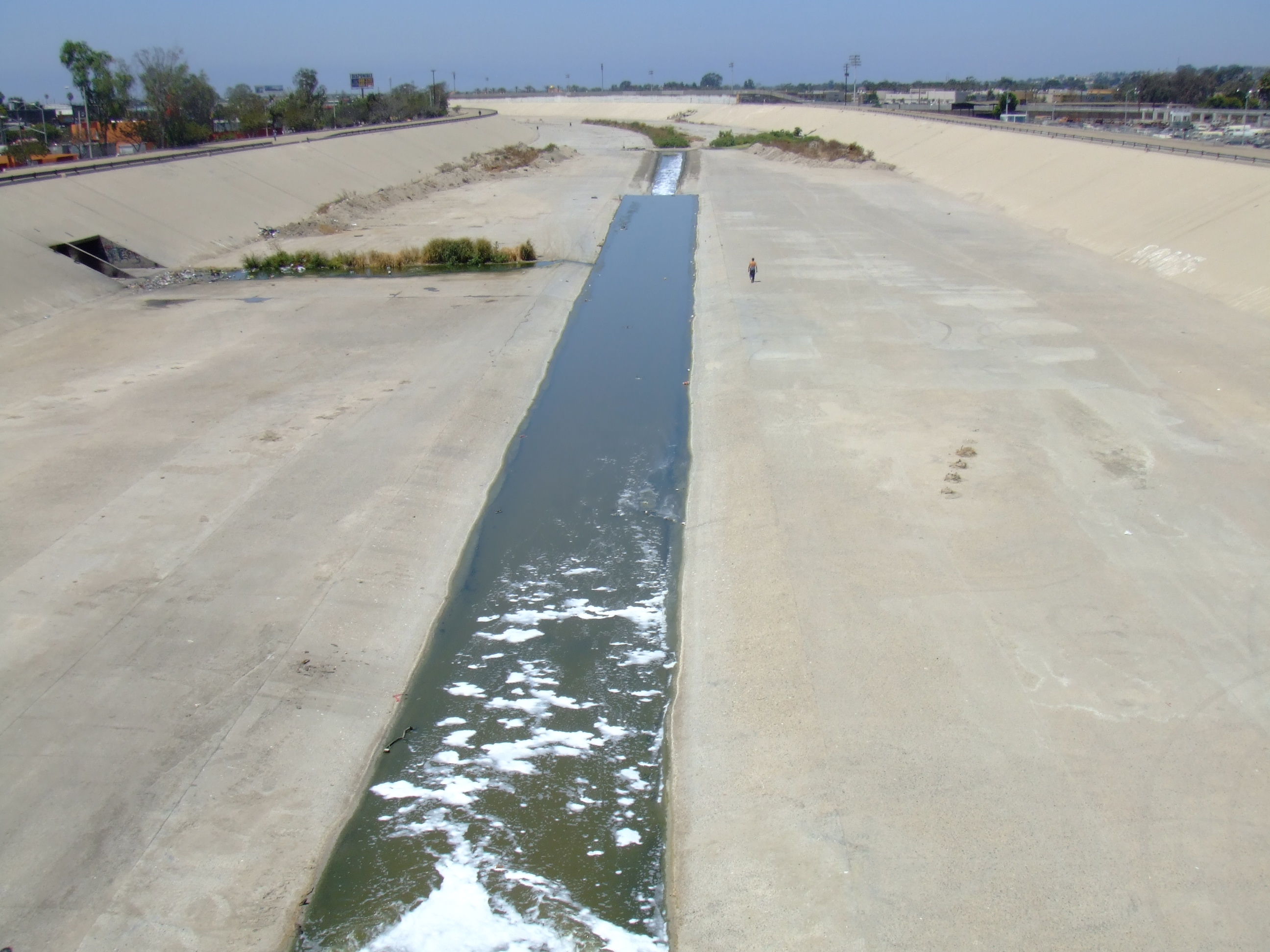
, name_etymology = , image = Presa Tij 1.jpg , image_size = , image_caption = Dam on the Tijuana River in Mexico. , map = Tijuana River Basin.svg , map_size = 250 , map_caption = Map of the Tijuana River basin , pushpin_map = , pushpin_map_size = , pushpin_map_caption= , subdivision_type1 = Country , subdivision_name1 = Mexico, United States , subdivision_type2 = State , subdivision_name2 = Baja California, California , subdivision_type3 = , subdivision_name3 = , subdivision_type4 = District , subdivision_name4 = San Diego County (California) , subdivision_type5 = Municipalities , subdivision_name5 = Ensenada, Tijuana, Tecate, San Ysidro (Baja California) , length = , width_min = , width_avg = , width_max = , depth_min = , depth_avg = , depth_max = , discharge1_location= Tijuana Slough Natio ... [...More Info...] [...Related Items...] OR: [Wikipedia] [Google] [Baidu] |
Interstate 5
Interstate 5 (I-5) is the main north–south Interstate Highway on the West Coast of the United States, running largely parallel to the Pacific coast of the contiguous U.S. from Mexico to Canada. It travels through the states of California, Oregon, and Washington, serving several large cities on the U.S. West Coast, including San Diego, Los Angeles, Sacramento, Portland, and Seattle. It is the only continuous Interstate highway to touch both the Mexican and the Canadian borders. Upon crossing the Mexican border at its southern terminus, I-5 continues to Tijuana, Baja California, as Mexico Federal Highway 1 (Fed. 1). Upon crossing the Canadian border at its northern terminus, it continues to Vancouver as British Columbia Highway 99 (BC 99). I-5 was originally created in 1956 as part of the Interstate Highway System, but it was predated by several auto trails and highways built in the early 20th century. The Pacific Highway auto trail was built i ... [...More Info...] [...Related Items...] OR: [Wikipedia] [Google] [Baidu] |
Aviaries
An aviary is a large enclosure for confining birds, although bats may also be considered for display. Unlike birdcages, aviaries allow birds a larger living space where they can fly; hence, aviaries are also sometimes known as flight cages. Aviaries often contain plants and shrubbery to simulate a natural environment. Various types of aviary Large aviaries are often found in the setting of a zoological garden (for example, the London Zoo, the National Zoo in Washington, D.C., and the San Diego Zoo). Walk-in aviaries also exist in bird parks, including the spacious Jurong BirdPark in Singapore, or the smaller Edward Youde Aviary in Hong Kong. Pittsburgh is home to the USA's National Aviary, perhaps the most prominent example in North America of an aviary not set inside a zoo. However, the oldest public aviary not set inside a zoo in North America, the Hamilton Aviary is located in Hamilton, Ontario, Canada. Tracy Aviary is an example of a bird park within a public urban park ... [...More Info...] [...Related Items...] OR: [Wikipedia] [Google] [Baidu] |
Sea Turtle
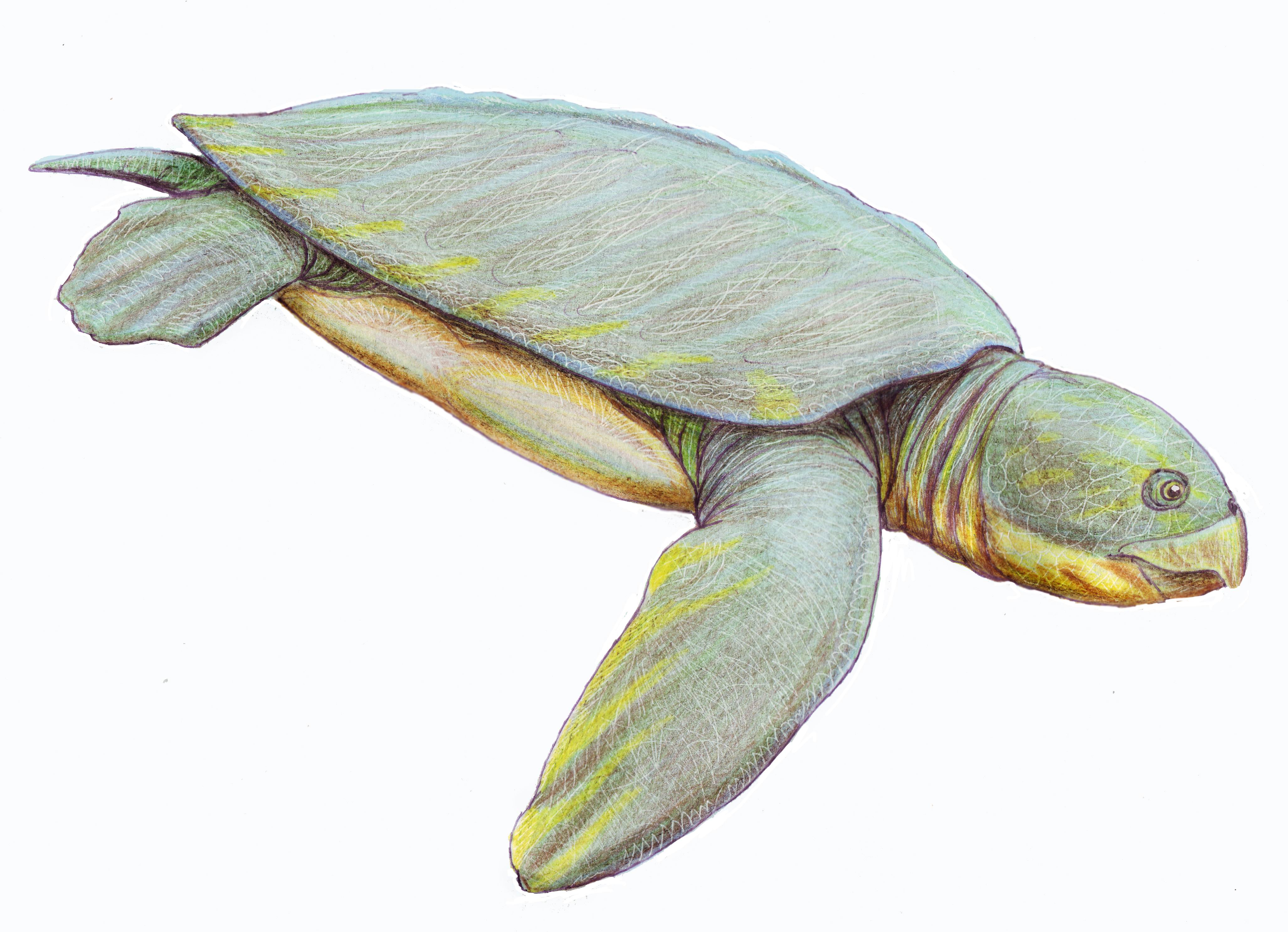
Sea turtles (superfamily Chelonioidea), sometimes called marine turtles, are reptiles of the order Testudines and of the suborder Cryptodira. The seven existing species of sea turtles are the flatback, green, hawksbill, leatherback, loggerhead, Kemp's ridley, and olive ridley sea turtles. All six of the sea turtle species present in US waters (all of those listed above except the flatback) are listed as endangered and/or threatened under the Endangered Species Act. The seventh sea turtle species is the flatback, which exists in the waters of Australia, Papua New Guinea and Indonesia. Sea turtles can be separated into the categories of hard-shelled ( cheloniid) and leathery-shelled ( dermochelyid).Wyneken, J. 2001. The Anatomy of Sea Turtles. U.S Department of Commerce NOAA Technical Memorandum NMFS-SEFSC-470, 1-172 pp. There is only one dermochelyid species which is the leatherback sea turtle. Description For each of the seven types of sea turtles, females and males are t ... [...More Info...] [...Related Items...] OR: [Wikipedia] [Google] [Baidu] |
Living Coast Discovery Center
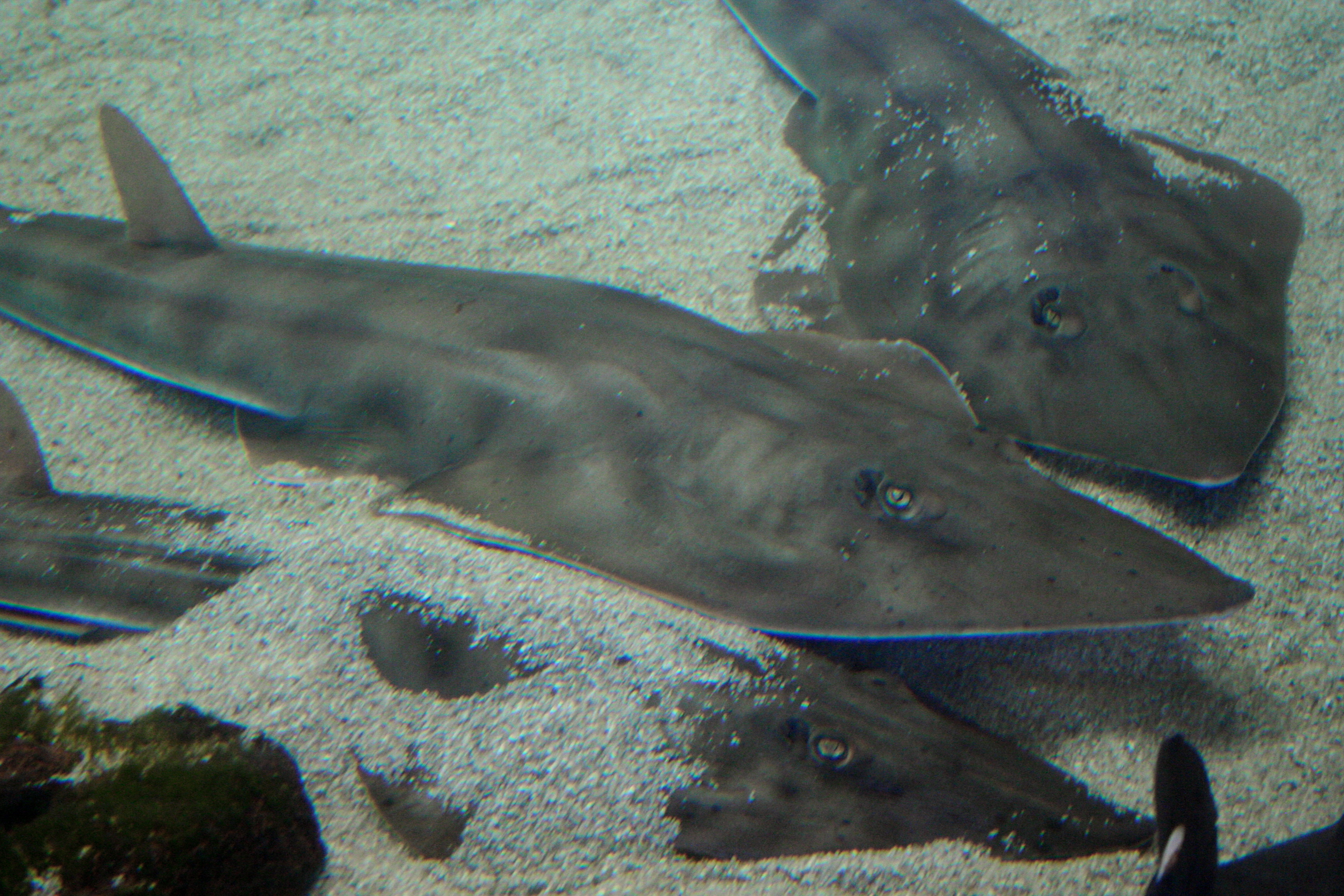
The Living Coast Discovery Center is an environmental education center with marine animal, animal and bird exhibits located in the Sweetwater Marsh Unit of the San Diego National Wildlife Refuge in Chula Vista, California. Permanent displays at the Living Coast focus on native animals and plants found in Southern California and San Diego Bay. Exhibits The site consists of several large exhibit spaces: * Turtle Lagoon - Eastern Pacific green sea turtles * Discovery Center Galleria - includes seahorses, jellyfish, eels, sharks, lobsters, crabs, octopus, garibaldi damselfish, sea stars, snakes, lizards * Shark & Ray Experience & Sting Ray Touch pool - Leopard sharks, grey smooth-hound sharks, horn sharks, swell shark, shovelnose guitarfish, bat rays, round rays, diamond rays, crabs, fish, and loggerhead sea turtle * Burrowing Owl Courtyard * Shorebird Aviary - light-footed clapper rail, snowy egret, black-crowned night heron, Black oystercatcher, red-breasted merganser, ... [...More Info...] [...Related Items...] OR: [Wikipedia] [Google] [Baidu] |
San Diego Bay
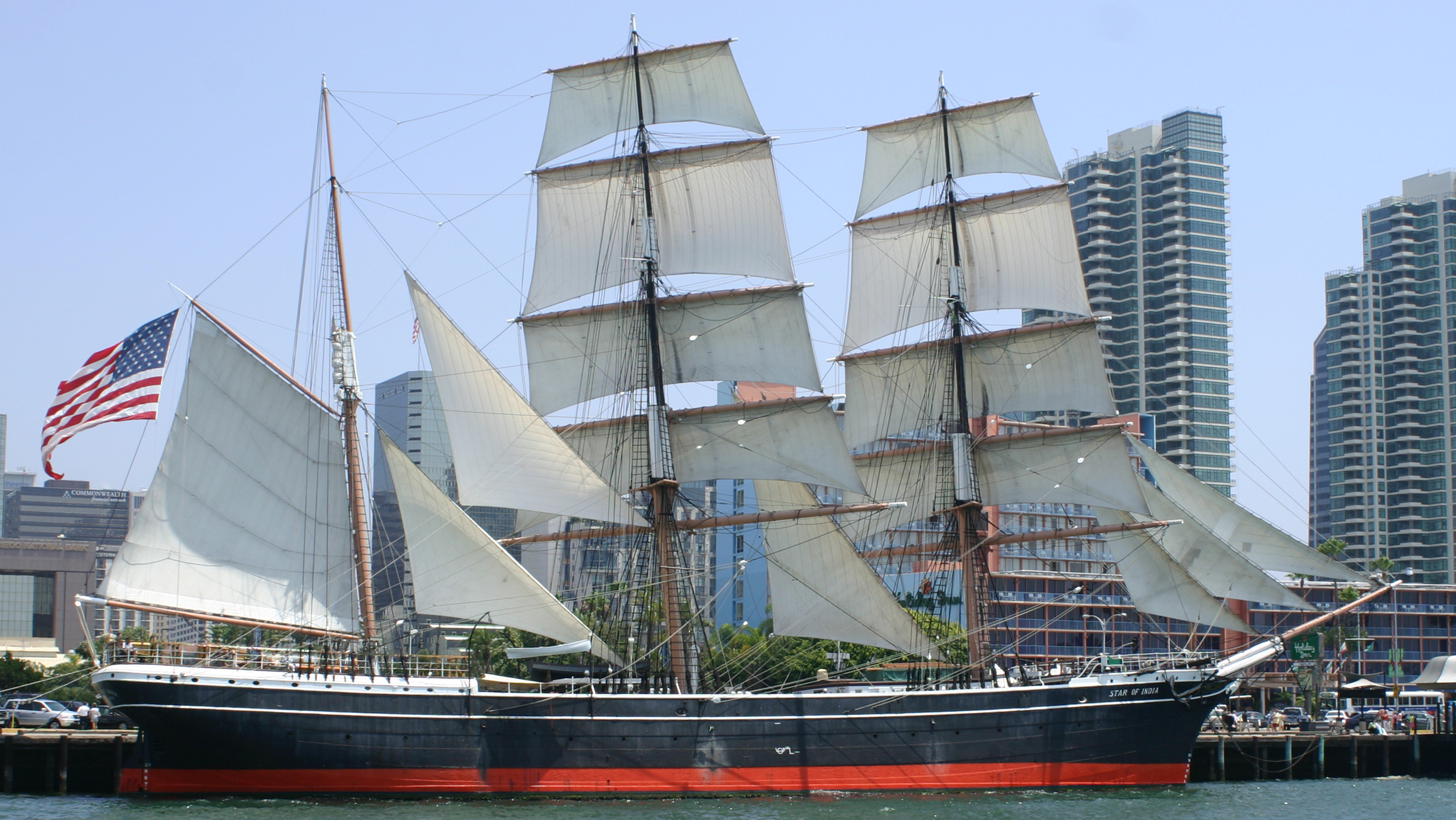
San Diego Bay is a natural harbor and deepwater port located in San Diego County, California near the U.S.–Mexico border. The bay, which is long and wide, is the third largest of the three large, protected natural bays on California's of coastline, after San Francisco Bay and Humboldt Bay. The highly urbanized land adjacent to the bay includes the city of San Diego (eighth-largest in the United States) and four other cities: National City, Chula Vista, Imperial Beach and Coronado. Considered to be one of the best natural harbors on the west coast of North America, it was colonized by Spain beginning in 1769. Later it served as base headquarters of major ships of the United States Navy in the Pacific until just before the United States entered World War II, when the newly organized United States Pacific Fleet primary base was transferred to Pearl Harbor, Hawaii. However, San Diego Bay remains as a home port of major assets, including several aircraft carriers, of the ... [...More Info...] [...Related Items...] OR: [Wikipedia] [Google] [Baidu] |
Sweetwater River (California)
The Sweetwater River is a long stream in San Diego County, California. From its headwaters high in the Cuyamaca Mountains, the river flows generally southwest, first through rugged hinterlands but then into the urban areas surrounding its mouth at San Diego Bay. Its drainage basin covers more than , all of it within San Diego County. Towns on the river include Descanso, La Presa and Chula Vista. The term "Sweetwater" is a name often given to freshwater which tastes good in regions where much of the water is bitter to the taste. The Spanish called the river "Agua Dulce", a name they applied to good clear water anywhere they lived. Course The river rises as an intermittent trickle flowing out of Upper Green Valley, deep in the semi-arid Cuyamaca Mountains near Stonewall Peak. It flows south-southwest, receiving Harper Creek from the left and Stonewall Creek from the right, then coursing through narrow valleys and passing the small town of Descanso. As the river enters the C ... [...More Info...] [...Related Items...] OR: [Wikipedia] [Google] [Baidu] |


.jpg)


