|
Steller's Sea Lion
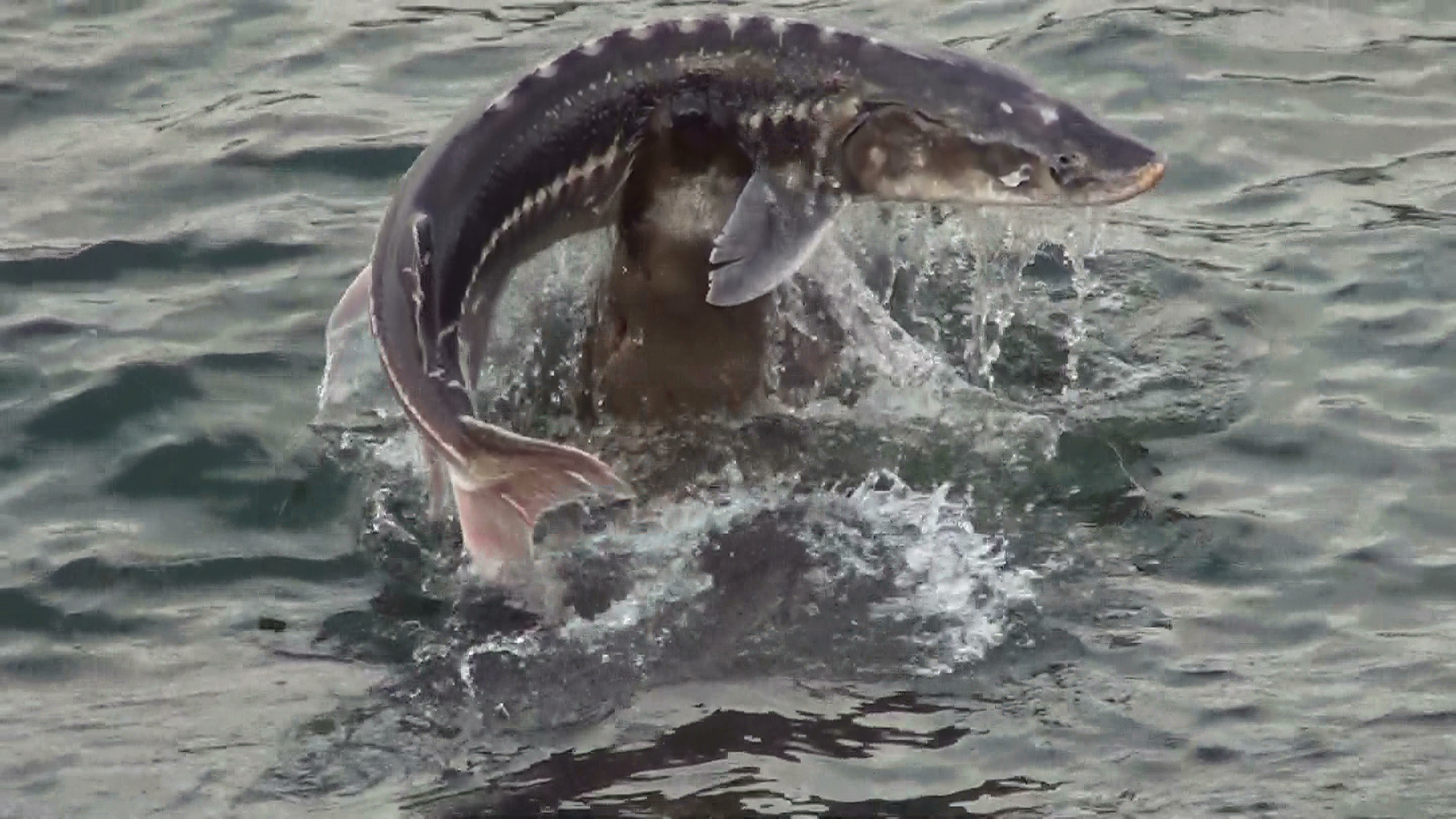
The Steller sea lion (''Eumetopias jubatus''), also known as the Steller's sea lion and northern sea lion, is a near-threatened species of sea lion in the northern Pacific. It is the sole member of the genus ''Eumetopias'' and the largest of the eared seals (Otariidae). Among pinnipeds, only the walrus and the two species of elephant seals are bigger. The species is named for the naturalist Georg Wilhelm Steller, who first described them in 1741. The Steller sea lion has attracted considerable attention in recent decades, owing to significant and largely unexplained declines in their numbers over an extensive portion of their northern range in Alaska. Description Adult animals are lighter in color than most sea lions, ranging from pale yellow to tawny and occasionally reddish. Steller sea lion pups are born almost black, weighing around , and remain dark in coloration for several months. Females and males both grow rapidly until the fifth year, after which female growth slow ... [...More Info...] [...Related Items...] OR: [Wikipedia] [Google] [Baidu] |
Yamsky Islands
The Yam Islands, Yamsky Islands or Yamskiye Islands (Ямские острова; Yamskiye Ostrova), is a small island group located close to the coast in the northern Sea of Okhotsk. Administratively the Yam Islands belong to the Magadan Oblast of the Russian Federation. Geography The Yam island group lies about 250 km east of Magadan, only 10 km from the shores of the Pyagin Peninsula (Poluostrov P'yagina). Islands The main island is Matykil Island (Остров Матыкиль). It is 6 km long and has a width of 2.2 km. All the other islands are much smaller. The highest point in Matykil is 700 m. The other islands of the group are: Atykan (Остров Атыкан), Baran (Остров Баран), Khatemalyu (Остров Хатемалью) and Kokontse (Остров Коконце). History Between 1852 and 1874, American whaleships cruised around the islands for bowhead whales. Fauna Steller sea lions occur on the islands, while in the spri ... [...More Info...] [...Related Items...] OR: [Wikipedia] [Google] [Baidu] |
Range (biology)
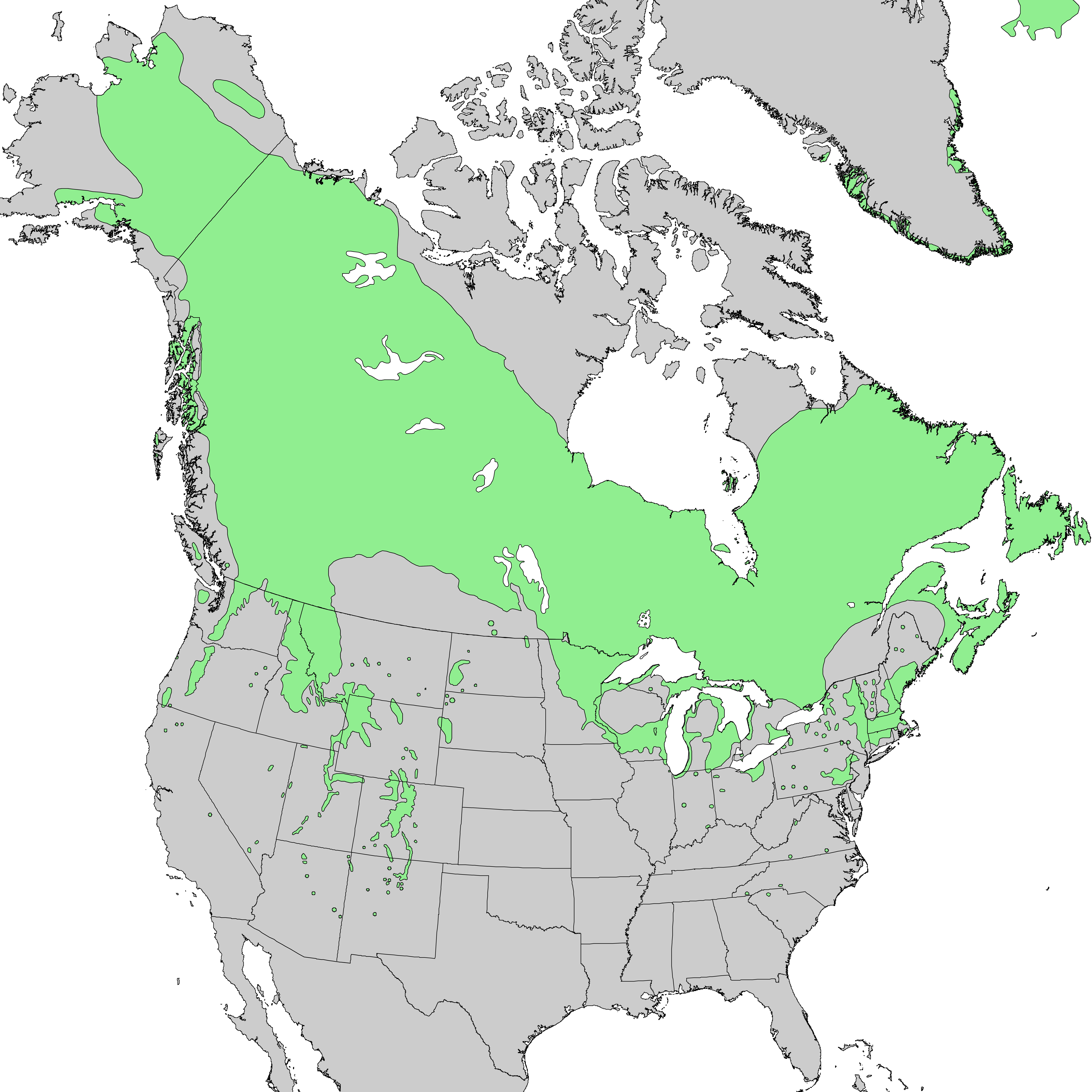
Species distribution —or species dispersion — is the manner in which a biological taxon is spatially arranged. The geographic limits of a particular taxon's distribution is its range, often represented as shaded areas on a map. Patterns of distribution change depending on the scale at which they are viewed, from the arrangement of individuals within a small family unit, to patterns within a population, or the distribution of the entire species as a whole (range). Species distribution is not to be confused with dispersal, which is the movement of individuals away from their region of origin or from a population center of high density. Range In biology, the range of a species is the geographical area within which that species can be found. Within that range, distribution is the general structure of the species population, while dispersion is the variation in its population density. Range is often described with the following qualities: * Sometimes a distinction is made betw ... [...More Info...] [...Related Items...] OR: [Wikipedia] [Google] [Baidu] |
Kanazawa
is the capital city of Ishikawa Prefecture, Japan. , the city had an estimated population of 466,029 in 203,271 households, and a population density of 990 persons per km2. The total area of the city was . Overview Cityscape File:もてなしドーム3.jpg, Kanazawa Station(2013) File:Omichoichibakan004.jpg, Ōmichō-Market(Ōmichō-Ichiba)(2013) File:Kanazawa view from Utatsuyama Park.jpg, Skyline of Kanazawa City(2017) File:Cityscape at downtown Kanazawa.jpg, CBD of Kanazawa File:Katamachi Crossing.jpg, Downtown of Katamachi Area (2022) Geography Kanazawa is located in north-western Ishikawa Prefecture in the Hokuriku region of Japan and is bordered by the Sea of Japan to the west and Toyama Prefecture to the east. The city sits between the Sai and Asano rivers. The eastern portion of the city is dominated by the Japanese Alps. Parts of the city are within the borders of the Hakusan National Park. Climate Kanazawa has a humid subtropical cl ... [...More Info...] [...Related Items...] OR: [Wikipedia] [Google] [Baidu] |
Korean Peninsula
Korea ( ko, 한국, or , ) is a peninsular region in East Asia. Since 1945, it has been divided at or near the 38th parallel, with North Korea (Democratic People's Republic of Korea) comprising its northern half and South Korea (Republic of Korea) comprising its southern half. Korea consists of the Korean Peninsula, Jeju Island, and several minor islands near the peninsula. The peninsula is bordered by China to the northwest and Russia to the northeast. It is separated from Japan to the east by the Korea Strait and the Sea of Japan (East Sea). During the first half of the 1st millennium, Korea was divided between three states, Goguryeo, Baekje, and Silla, together known as the Three Kingdoms of Korea. In the second half of the 1st millennium, Silla defeated and conquered Baekje and Goguryeo, leading to the "Unified Silla" period. Meanwhile, Balhae formed in the north, superseding former Goguryeo. Unified Silla eventually collapsed into three separate states due to civi ... [...More Info...] [...Related Items...] OR: [Wikipedia] [Google] [Baidu] |
Bohai Gulf
The Bohai Sea () is a marginal sea approximately in area on the east coast of Mainland China. It is the northwestern and innermost extension of the Yellow Sea, to which it connects to the east via the Bohai Strait. It has a mean depth of approximately , with a maximum depth of about located in the northern part of the Bohai Strait. The Bohai Sea is enclosed by three provinces and one direct-administered municipality from three different regions of China — Liaoning Province (of Northeast China), Hebei Province and Tianjin Municipality (of North China), and Shandong Province (of East China). The whole of the Bohai Sea is considered a part of both the internal waters of the People's Republic of China and the center of the Bohai Economic Rim. Its proximity to the Chinese capital of Beijing and the municipality of Tianjin makes it one of the busiest seaways in the world. History During the Pleistocene, the Bohai Sea experienced numerous glacioeustatic transgressions and ... [...More Info...] [...Related Items...] OR: [Wikipedia] [Google] [Baidu] |
Yellow Sea
The Yellow Sea is a marginal sea of the Western Pacific Ocean located between mainland China and the Korean Peninsula, and can be considered the northwestern part of the East China Sea. It is one of four seas named after common colour terms (the others being the Black Sea, the Red Sea and the White Sea), and its name is descriptive of the golden-yellow colour of the silt-laden water discharged from major rivers. The innermost bay of northwestern Yellow Sea is called the Bohai Sea (previously Pechihli Bay or Chihli Bay), into which flow some of the most important rivers of northern China, such as the Yellow River (through Shandong province and its capital Jinan), the Hai River (through Beijing and Tianjin) and the Liao River (through Liaoning province). The northeastern extension of the Yellow Sea is called the Korea Bay, into which flow the Yalu River, the Chongchon River and the Taedong River. Since 1 November 2018, the Yellow Sea has also served as the location of "peace ... [...More Info...] [...Related Items...] OR: [Wikipedia] [Google] [Baidu] |
Hokkaidō
is Japan's second largest island and comprises the largest and northernmost prefecture, making up its own region. The Tsugaru Strait separates Hokkaidō from Honshu; the two islands are connected by the undersea railway Seikan Tunnel. The largest city on Hokkaidō is its capital, Sapporo, which is also its only ordinance-designated city. Sakhalin lies about 43 kilometers (26 mi) to the north of Hokkaidō, and to the east and northeast are the Kuril Islands, which are administered by Russia, though the four most southerly are claimed by Japan. Hokkaidō was formerly known as ''Ezo'', ''Yezo'', ''Yeso'', or ''Yesso''. Nussbaum, Louis-Frédéric. (2005). "Hokkaidō" in Although there were Japanese settlers who ruled the southern tip of the island since the 16th century, Hokkaido was considered foreign territory that was inhabited by the indigenous people of the island, known as the Ainu people. While geographers such as Mogami Tokunai and Mamiya Rinzō explored the isla ... [...More Info...] [...Related Items...] OR: [Wikipedia] [Google] [Baidu] |
Hauling-out
Hauling-out is a behaviour associated with pinnipeds (true seals, sea lions, fur seals and walruses) temporarily leaving the water. Hauling-out typically occurs between periods of foraging activity. Rather than remain in the water, pinnipeds haul-out onto land or sea-ice for reasons such as reproduction and rest. Hauling-out is necessary in seals for mating (with the exception of the Baikal seal) and giving birth (although a distinction is generally made between reproductive aggregations, termed "rookeries", and non-reproductive aggregations, termed "haul-outs"). Other benefits of hauling-out may include predator avoidance, thermoregulation, social activity, parasite reduction and rest. There is much variation in haul-out patterns among different seal species.Hoelzel, A. Rus. (2002). ''Marine Mammal Biology: An Evolutionary Approach''. Blackwell Publishing. . p. 197. Haul-out sites may be segregated by age and sex within the same species. Many species of pinniped have only a fe ... [...More Info...] [...Related Items...] OR: [Wikipedia] [Google] [Baidu] |
Commander Islands
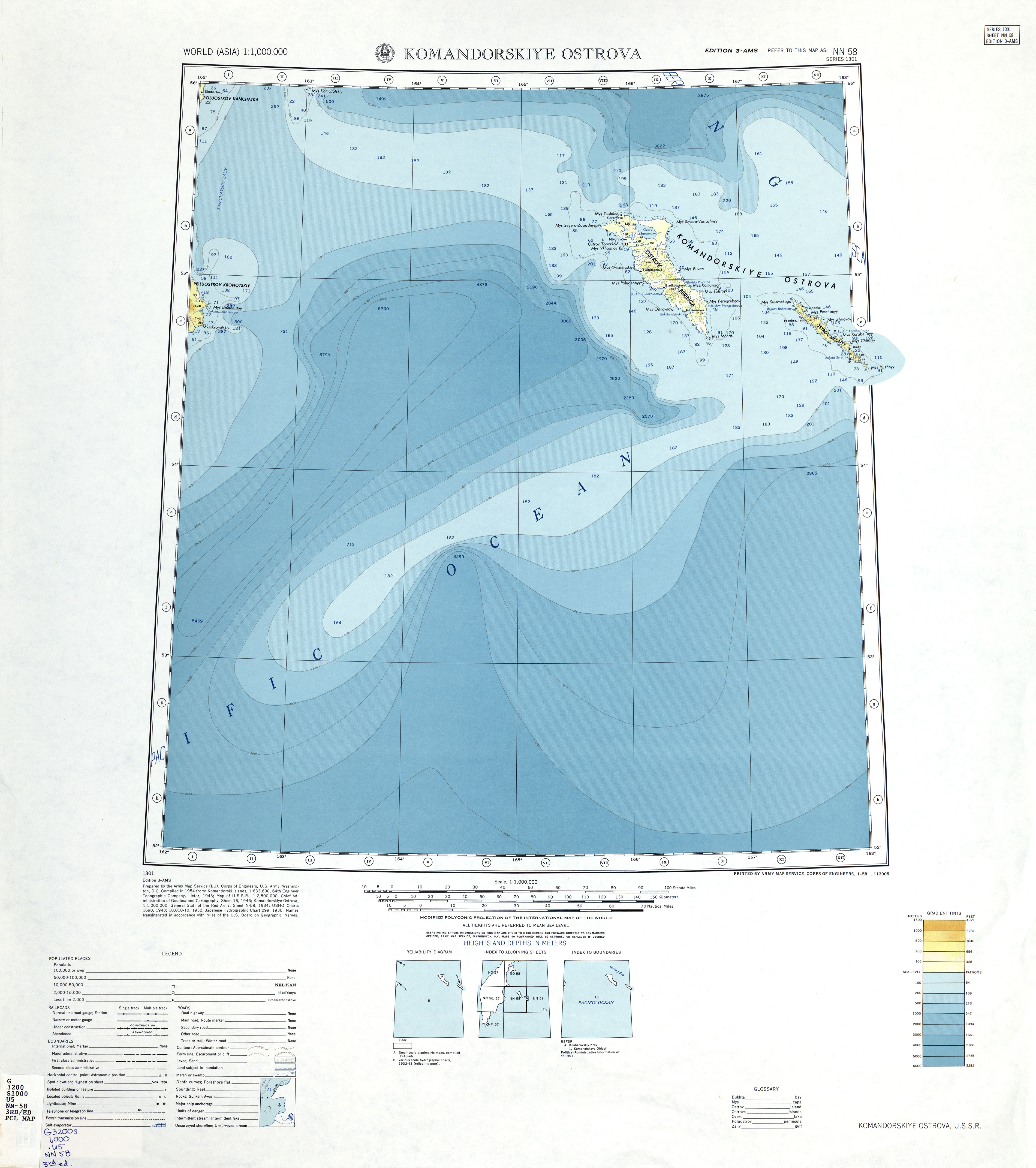
The Commander Islands, Komandorski Islands, or Komandorskie Islands (russian: Командо́рские острова́, ''Komandorskiye ostrova'') are a series of treeless, sparsely populated Russian islands in the Bering Sea located about east of the Kamchatka Peninsula in the Russian Far East. The islands consist of Bering Island ( by ), Medny Island ( by ) and fifteen smaller ones (islets and rocks), the largest of which are ''Tufted Puffin Rock (Kamen Toporkov'' or ''Ostrov Toporkov)'', , and Kamen Ariy, which are between and west of the only settlement, Nikolskoye. Administratively, they compose Aleutsky District of Kamchatka Krai in Russia. Geography The Commander Islands are the westernmost of the Aleutian Islands, most of which are part of the US state of Alaska, and are separated from the closest US island, Attu Island, and the rest of the chain by . Between the two runs the International Date Line. The relief is somewhat diverse, encompassing folded-block mo ... [...More Info...] [...Related Items...] OR: [Wikipedia] [Google] [Baidu] |
Kamchatka
The Kamchatka Peninsula (russian: полуостров Камчатка, Poluostrov Kamchatka, ) is a peninsula in the Russian Far East, with an area of about . The Pacific Ocean and the Sea of Okhotsk make up the peninsula's eastern and western coastlines, respectively. Immediately offshore along the Pacific coast of the peninsula runs the Kuril–Kamchatka Trench. The Kamchatka Peninsula, the Commander Islands, and the Karaginsky Island, constitute the Kamchatka Krai of the Russian Federation. The vast majority of the 322,079 inhabitants are ethnic Russians, although about 13,000 are Koryaks (2014). More than half of the population lives in Petropavlovsk-Kamchatsky (179,526 in 2010) and nearby Yelizovo (38,980). The Kamchatka peninsula contains the volcanoes of Kamchatka, a UNESCO World Heritage Site. Geography Politically, the peninsula forms part of Kamchatka Krai. The southern tip is called Cape Lopatka. (Lopatka is Russian for spade.) The circular bay to t ... [...More Info...] [...Related Items...] OR: [Wikipedia] [Google] [Baidu] |
Kuril Islands
The Kuril Islands or Kurile Islands (; rus, Кури́льские острова́, r=Kuril'skiye ostrova, p=kʊˈrʲilʲskʲɪjə ɐstrɐˈva; Japanese: or ) are a volcanic archipelago currently administered as part of Sakhalin Oblast in the Russian Far East. It stretches approximately northeast from Hokkaido in Japan to Kamchatka Peninsula in Russia separating the Sea of Okhotsk from the north Pacific Ocean. There are 56 islands and many minor rocks. The Kuril Islands consist of the Greater Kuril Chain and the Lesser Kuril Chain. They cover an area of around , with a population of roughly 20,000. The islands have been under Russian administration since their 1945 invasion as the Soviet Union towards the end of World War II. Japan claims the four southernmost islands, including two of the three largest ( Iturup and Kunashir), as part of its territory, as well as Shikotan and the Habomai islets, which has led to the ongoing Kuril Islands dispute. The disputed islands are k ... [...More Info...] [...Related Items...] OR: [Wikipedia] [Google] [Baidu] |
Channel Islands Of California
The Channel Islands () are an eight-island archipelago located within the Southern California Bight in the Pacific Ocean, off the coast of California. The four Northern Channel Islands are part of the Transverse Ranges geologic province, and the four Southern Channel Islands are part of the Peninsular Ranges province. Five of the islands are within the Channel Islands National Park, and the waters surrounding these islands make up Channel Islands National Marine Sanctuary. The Nature Conservancy was instrumental in establishing the Channel Islands National Marine Sanctuary. The islands were inhabited as early as 13,000 years ago, the earliest paleontological evidence of humans in North America. They are the easternmost islands in the Pacific Island group. The Chumash and Tongva Native Americans who lived later on the islands may be the descendants of the original inhabitants, but they were then displaced by Spaniards who used the islands for fishing and agriculture. The U.S ... [...More Info...] [...Related Items...] OR: [Wikipedia] [Google] [Baidu] |


