|
St. Nicholas, Vale Of Glamorgan
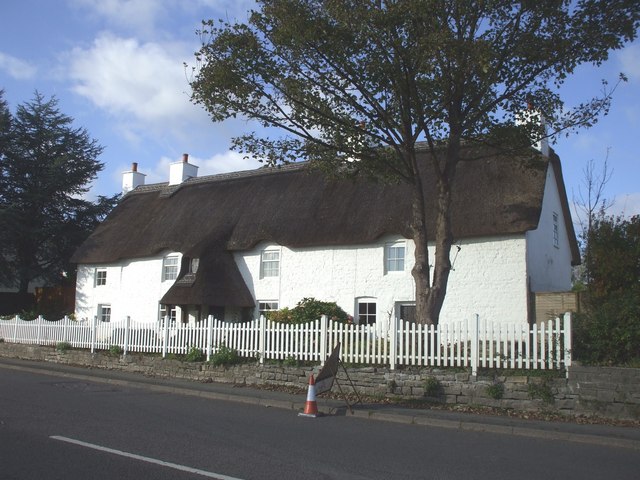
St. Nicholas ( cy, Sain Nicolas) is a small village in the Vale of Glamorgan, South Wales. It lies 2 miles west of the capital city, Cardiff and 7 miles from its city centre. St. Nicholas is the highest elevation village in the Vale of Glamorgan. The population was 417 in 2011. It is in the community of St Nicholas and Bonvilston. Amenities & History The A48 road divides the village in half, with a parish church anprimary schoolnorth of it and housing south of it. However there are no shops or pubs in the village, the nearest being in Bonvilston or Culverhouse Cross. The A4226 (Five Mile Lane) connects it to nearby Barry from the A48. The village lacks a pub and in 2017 the Church Hall was sold. On October 6, 2016, a controversial planning application by Redrow Homes was granted, adding 100 dwellings to the village. A further 17 were added by Waterstone Homes. Building began in the summer of 2017, and on completion doubled the size of the village. It is served by public tr ... [...More Info...] [...Related Items...] OR: [Wikipedia] [Google] [Baidu] |
Vale Of Glamorgan
The Vale of Glamorgan ( cy, Bro Morgannwg ), often referred to as The Vale, is a county borough in the south-east of Wales. It borders Bridgend County Borough to the west, Cardiff to the east, Rhondda Cynon Taf to the north, and the Bristol Channel to the south. With an economy based largely on agriculture and chemicals, it is the southernmost unitary authority in Wales. Attractions include Barry Island Pleasure Park, the Barry Tourist Railway, Medieval wall paintings in St Cadoc's Church, Llancarfan, Porthkerry Park, St Donat's Castle, Cosmeston Lakes Country Park and Cosmeston Medieval Village. The largest town is Barry. Other towns include Penarth, Llantwit Major, and Cowbridge. There are many villages in the county borough. History The area is the southernmost part of the county of Glamorgan. Between the 11th century and 1536 the area was part of the Lordship of Glamorgan. In medieval times, the village of Cosmeston, near what is today Penarth in the south east of t ... [...More Info...] [...Related Items...] OR: [Wikipedia] [Google] [Baidu] |
Culverhouse Cross
Culverhouse Cross ( cy, Croes Cwrlwys) is a district straddling the boundary between Cardiff and the Vale of Glamorgan, Wales, in the community of Wenvoe. The district is centred on a major traffic roundabout that links West Cardiff to the M4 motorway and is home to a number of different retail outlets, and formerly ITV Wales's headquarters. History According to place-name etymologist Deric Meidrum John, there has been a crossroads at Culverhouse Cross for some centuries, originally at the intersection of the Cardiff to Cowbridge turnpike and the road between the parishes of St Fagans and Wenvoe. He states that a farmhouse by the name Culverhouse existed nearby and that the word Culver refers to a pigeon. The Welsh equivalent name Cwrlwys was apparently recorded in 1776. Research at British History Online shows that the word Culverhouse may also refer to a dovecot. The Coedarhydyglyn estate, seat of numerous local prominent men from 1767 onwards, is located at the top of the Tumb ... [...More Info...] [...Related Items...] OR: [Wikipedia] [Google] [Baidu] |
Canton, Cardiff
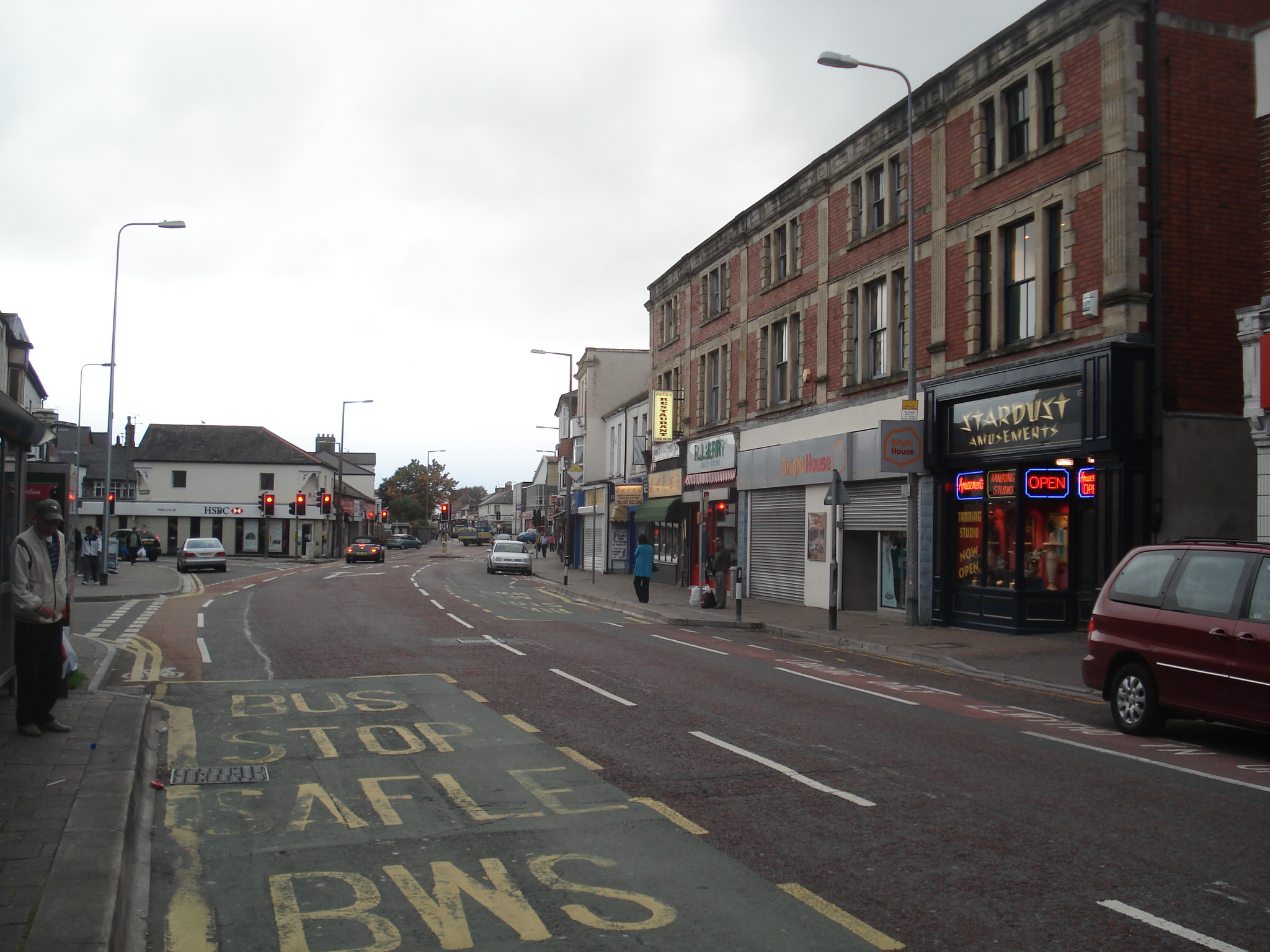
Canton ( cy, Treganna) is an inner-city district and community in the west of Cardiff, capital of Wales, lying west of the city's civic centre. Canton is one of the most ethnically diverse of Cardiff's suburbs, with a significant Pakistani and Indian population. The total population of Canton increased to 14,304 at the 2011 census. It is also the most Welsh-speaking district of central Cardiff, with 19.1% of the population speaking Welsh. Description The main road through the district is Cowbridge Road East, a busy thoroughfare with many shops and cafes as well as pubs and restaurants and independent retailers. This is known locally as 'The Strip'. Canton is home to Thompson's Park, Victoria Park, and Sanatorium Park, to the education centre Llanover Hall, and to the Chapter Arts Centre, which is housed in the former buildings of Canton High School. Though the area has strong working-class roots, many artists and young professionals have found the proximity to the city ce ... [...More Info...] [...Related Items...] OR: [Wikipedia] [Google] [Baidu] |
Ely, Cardiff
Ely ( cy, Trelái ''tref'', town + cy, Afon Elái, River Ely) is a district and community in Cardiff, Wales. It is to the north of Cowbridge Road West. Caerau defines the boundary to the south as does River Ely to the east and in part to the north. The Roman era In Roman times, Ely was the site of a Roman villa, near the old racecourse. There is also thought to have been a Roman road near the site linking to Cardiff Roman Fort and eastwards to Newport. 19th century In 1855, the first horse race took place at Ely Racecourse, which took over from the Great Heath racecourse. The Ordnance Survey map from the early 1880s shows just how isolated the ancient Ely village was from the rest of Cardiff. Reports about travelling along the main road over Ely Common to Cardiff talk of potholes and no shelter and a terrible journey on foot. Most of Ely was still farmland feeding Cardiff's population. A railway station had only recently been constructed, and this gave the surrounding area ... [...More Info...] [...Related Items...] OR: [Wikipedia] [Google] [Baidu] |
Porthcawl
Porthcawl (, ) is a town and community on the south coast of Wales in the county borough of Bridgend, west of the capital city, Cardiff and southeast of Swansea. Historically part of Glamorgan and situated on a low limestone headland on the South Wales coast, overlooking the Bristol Channel, Porthcawl developed as a coal port during the 19th century, but its trade was soon taken over by more rapidly developing ports such as Barry. Northwest of the town, in the dunes known as Kenfig Burrows, are hidden the last remnants of the town and Kenfig Castle, which were overwhelmed by sand about 1400. Toponymy is a common Welsh element meaning "harbour" and the ' here refers to "sea kale", which must have grown in profusion or even been collected here. Local folk etymology holds the ''cawl'' to be a corruption of ''Gaul'', and that the area was an ancient landing point for Gaulish and Breton, or later Frankish and Norman knights. Holiday resort Porthcawl is a holiday resort in South W ... [...More Info...] [...Related Items...] OR: [Wikipedia] [Google] [Baidu] |
Bridgend
Bridgend (; cy, Pen-y-bont ar Ogwr or just , meaning "the end of the bridge on the Ogmore") is a town in Bridgend County Borough in Wales, west of Cardiff and east of Swansea. The town is named after the Old Bridge, Bridgend, medieval bridge over the River Ogmore. The River Ewenny also flows through the town. The population was 49,597 in 2021. Historic counties of Wales, Historically a part of Glamorgan, Bridgend has greatly expanded in size since the early 1980s – the United Kingdom Census 2001, 2001 census recorded a population of 39,429 for the town and the 2011 census reported that the Bridgend Local Authority had a population of 139,200 – up from 128,700 in 2001. This 8.2% increase was the largest increase in Wales except for Cardiff. The town is undergoing a redevelopment project, with the town centre mainly pedestrianised and ongoing works including Brackla Street Centre redevelopment to Bridgend Shopping Centre, Rhiw Car Park redevelopment, ongoing public realm im ... [...More Info...] [...Related Items...] OR: [Wikipedia] [Google] [Baidu] |
Cowbridge
Cowbridge ( cy, Y Bont-faen) is a market town in the Vale of Glamorgan, Wales, approximately west of the centre of Cardiff. The Cowbridge with Llanblethian community and civil parish elect a town council. A Cowbridge electoral ward exists for elections to the Vale of Glamorgan Council. This ward includes Cowbridge, Llanblethian and Llanfair. The total population of the ward taken at the 2011 census was 6,180. Etymology The town is first recorded as ''Pontyfon'', (with ''mon'' or ''fon'' meaning cow in Old Welsh), and as ''Pontyfuwch'' (bridge of the cow in modern Welsh) by 1645. The modern Welsh name, ''Y Bont-faen'', translates as 'the stone bridge'. The English name is a direct translation of the older Welsh name of the town. History Roman times The town lies on the site of a Roman settlement identified by some scholars as the fort of ''Bovium'' (cow-place). Recent excavations have revealed extensive Roman settlement; the town lies alongside a Roman road. Middle Ages The ... [...More Info...] [...Related Items...] OR: [Wikipedia] [Google] [Baidu] |
First Cymru
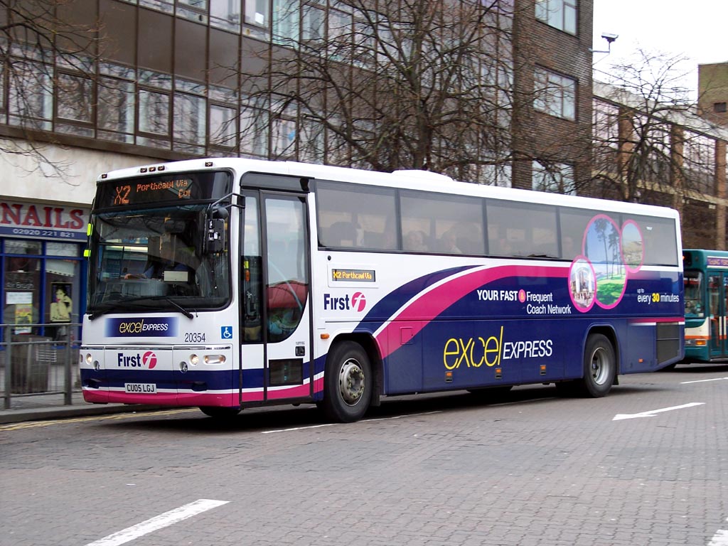
First Cymru is an operator of bus services in South West Wales. It is a subsidiary of FirstGroup with its headquarters in Swansea. History In 1987, South Wales Transport was sold during the privatisation of the National Bus Company in a management buy out. In February 1990, along with Brewers Motor Services and United Welsh Coaches, South Wales Transport was sold to Badgerline. All initially retained their trading names but following Badgerline merging with GRT Group in April 1995 to form FirstBus, all Welsh operations were rebranded as First Cymru. Operations The company operates around 200 bus services in the south Wales area, in and between Haverfordwest, Pembroke, Tenby, Carmarthen, Ammanford, Llanelli, Swansea, Pontardawe, Neath, Port Talbot, Maesteg, Bridgend and Cardiff. The company operates a bus rapid transit route in Swansea, branded Metro and a frequent shuttle service from Swansea to Cardiff branded X10. In addition to internal South Wales work, First C ... [...More Info...] [...Related Items...] OR: [Wikipedia] [Google] [Baidu] |
Barry, Vale Of Glamorgan
Barry ( cy, Y Barri; ) is a town in the Vale of Glamorgan, Wales, on the north coast of the Bristol Channel approximately south-southwest of Cardiff. Barry is a seaside resort, with attractions including several beaches and the resurrected Barry Island Pleasure Park. According to Office for National Statistics 2016 estimate data, the population of Barry was 54,673. Once a small village, Barry has absorbed its larger neighbouring villages of Cadoxton and Barry Island, and now, Sully. It grew significantly from the 1880s with the development of Barry Docks, which in 1913 was the largest coal port in the world. Etymology The origin of the town's name is disputed. It may derive from the sixth-century Saint Baruc who was buried on Barry Island where a ruined chapel was dedicated to him. Alternatively, the name may derive from Welsh ', meaning "hill, summit". The name in Welsh includes the definite article. History Early history The area now occupied by Barry has seen human ac ... [...More Info...] [...Related Items...] OR: [Wikipedia] [Google] [Baidu] |
Bonvilston
Bonvilston ( cy, Tresimwn) is a village in the Vale of Glamorgan, Wales. The village is situated on the A48 about four miles east of Cowbridge and near the Welsh capital city of Cardiff. The population in 2011 was 392. History It is named after Simon de Bonville, a Norman nobleman; hence the name of the village, though different in English and Welsh, translates as "Simon's town" or "Bonville's town" and refers to the same person. Simon de Bonville lived here in the 12th century. In 1291, "Margam conveyed to Thomas le Spudur of Bonvilston an acre of arable land with a house and curtilage in the vill of 'Tudekistowe', which Thomas, son of Robert had previously leased from the abbey; in exchange, Thomas gave the abbey two acres of land in Bonvilston." The manor subsequently became increasingly under the power of Margam Abbey. In the 19th century, Richard Bassett, a prominent figure in Glamorgan resided at Bonvilston House and owned the manor. The 1811 ''A Topographical Dictio ... [...More Info...] [...Related Items...] OR: [Wikipedia] [Google] [Baidu] |
South Glamorgan
, Government= South Glamorgan County Council , Status= Non-metropolitan county (1974–1996) Preserved county (1996–) , Start= 1974 , End= 1996 , Arms= , HQ= County Hall, Butetown, Cardiff , Replace= Cardiff Vale of Glamorgan Preserved county of South Glamorgan , Map= ''South Glamorgan shown within Wales as a preserved county'' , PopulationLast= 445,000 (est; 2003 borders) Ranked 3rd , PopulationLastYear= 2007 , AreaFirst= 475 km² Ranked 8th , AreaFirstYear= 2003 , AreaLast= , AreaLastYear= , Divisions= Non-metropolitan districts , DivisionsNames= 1. City of Cardiff 2. Vale of Glamorgan , Code= SGM , CodeName= Chapman code South Glamorgan ( cy, De Morgannwg) is a preserved county of Wales. It was originally formed in 1974 under the Local Government Act 1972, ... [...More Info...] [...Related Items...] OR: [Wikipedia] [Google] [Baidu] |
Public House
A pub (short for public house) is a kind of drinking establishment which is licensed to serve alcoholic drinks for consumption on the premises. The term ''public house'' first appeared in the United Kingdom in late 17th century, and was used to differentiate private houses from those which were, quite literally, open to the public as "alehouses", "taverns" and "inns". By Georgian times, the term had become common parlance, although taverns, as a distinct establishment, had largely ceased to exist by the beginning of the 19th century. Today, there is no strict definition, but CAMRA states a pub has four characteristics:GLA Economics, Closing time: London's public houses, 2017 # is open to the public without membership or residency # serves draught beer or cider without requiring food be consumed # has at least one indoor area not laid out for meals # allows drinks to be bought at a bar (i.e., not only table service) The history of pubs can be traced to Roman taverns in B ... [...More Info...] [...Related Items...] OR: [Wikipedia] [Google] [Baidu] |


