|
Southport Station (CTA)
Southport is a station on the Chicago Transit Authority's 'L' system. It is situated between the Paulina and Belmont stations on the Brown Line, which runs between Albany Park on Chicago's Northwest Side and downtown Chicago. It is an elevated station with two side platforms located at 3411 North Southport Avenue in Chicago's Lakeview community area. Location Southport is situated on North Southport Avenue, close to its intersection with West Roscoe Street. The station is located in the Lakeview community area of Chicago; the area surrounding the station consists of a mixture commercial and residential areas. History Southport Station opened in 1907 as part of the Northwestern Elevated Railroad's Ravenswood line. In CTA's skip-stop service on the Brown Line, which was in operation from 1949 to 1995, Southport was a "B" station. In 2006, the CTA began the Brown Line Capacity Expansion Project, which involved the renovation and reconstruction of all Brown Line stations t ... [...More Info...] [...Related Items...] OR: [Wikipedia] [Google] [Baidu] |
Chicago 'L'
(''City in a Garden''); I Will , image_map = , map_caption = Interactive Map of Chicago , coordinates = , coordinates_footnotes = , subdivision_type = Country , subdivision_name = United States , subdivision_type1 = State , subdivision_type2 = Counties , subdivision_name1 = Illinois , subdivision_name2 = Cook and DuPage , established_title = Settled , established_date = , established_title2 = Incorporated (city) , established_date2 = , founder = Jean Baptiste Point du Sable , government_type = Mayor–council , governing_body = Chicago City Council , leader_title = Mayor , leader_name = Lori Lightfoot ( D) , leader_title1 = City Clerk , leader_name1 = Anna Valencia ( D) , unit_pref = Imperial , area_footnotes = , area_tota ... [...More Info...] [...Related Items...] OR: [Wikipedia] [Google] [Baidu] |
The Loop (Chicago)
The Loop, one of Chicago's 77 designated community areas, is the central business district of the city and is the main section of Downtown Chicago. Home to Chicago's commercial core, it is the second largest commercial business district in North America and contains the headquarters and regional offices of several global and national businesses, retail establishments, restaurants, hotels, and theaters, as well as many of Chicago's most famous attractions. It is home to Chicago's City Hall, the seat of Cook County, and numerous offices of other levels of government and consulates of foreign nations. The intersection of State Street and Madison Street, located in the area, is the origin of the address system of Chicago's street grid. Most of Grant Park's 319 acres (1.29 km2) are in the eastern section of the community area. The Loop community area is bounded on the north and west by the Chicago River, on the east by Lake Michigan, and on the south by Roosevelt Road. The U ... [...More Info...] [...Related Items...] OR: [Wikipedia] [Google] [Baidu] |
CTA Brown Line Stations
CTA may refer to: Legislation *Children's Television Act, American legislation passed in 1990 that enforces a certain degree of educational television *Counter-Terrorism Act 2008 *Criminal Tribes Act, British legislation in India passed in 1871 which labelled entire communities as criminal Organizations Asia *Central Tibetan Administration *China Tourism Academy *Chinese Taoist Association *Crystal Thai Airlines Europe, Africa, and South America *Cairo Transportation Authority *Central de los Trabajadores Argentinos *Cyprus Turkish Airlines *Technical Centre for Agricultural and Rural Cooperation ACP-EU (CTA) * CTA International North America * California Teachers Association, a labor union *California Technology Agency, a California cabinet-level state agency *Call to Action, a Christian organization *Canadian Transportation Agency, an independent tribunal of the Government of Canada *Canadian Trucking Alliance, a Canadian federation of provincial trucking associations *Central T ... [...More Info...] [...Related Items...] OR: [Wikipedia] [Google] [Baidu] |
Headway
Headway is the distance or duration between vehicles in a transit system measured in space or time. The ''minimum headway'' is the shortest such distance or time achievable by a system without a reduction in the speed of vehicles. The precise definition varies depending on the application, but it is most commonly measured as the distance from the tip (front end) of one vehicle to the tip of the next one behind it. It can be expressed as the distance between vehicles, or as time it will take for the trailing vehicle to cover that distance. A "shorter" headway signifies closer spacing between the vehicles. Airplanes operate with headways measured in hours or days, freight train Rail freight transport is the use of railroads and trains to transport cargo as opposed to human passengers. A freight train, cargo train, or goods train is a group of freight cars (US) or goods wagons (International Union of Railways) haul ...s and commuter rail systems might have headways measured in ... [...More Info...] [...Related Items...] OR: [Wikipedia] [Google] [Baidu] |
Rush Hour
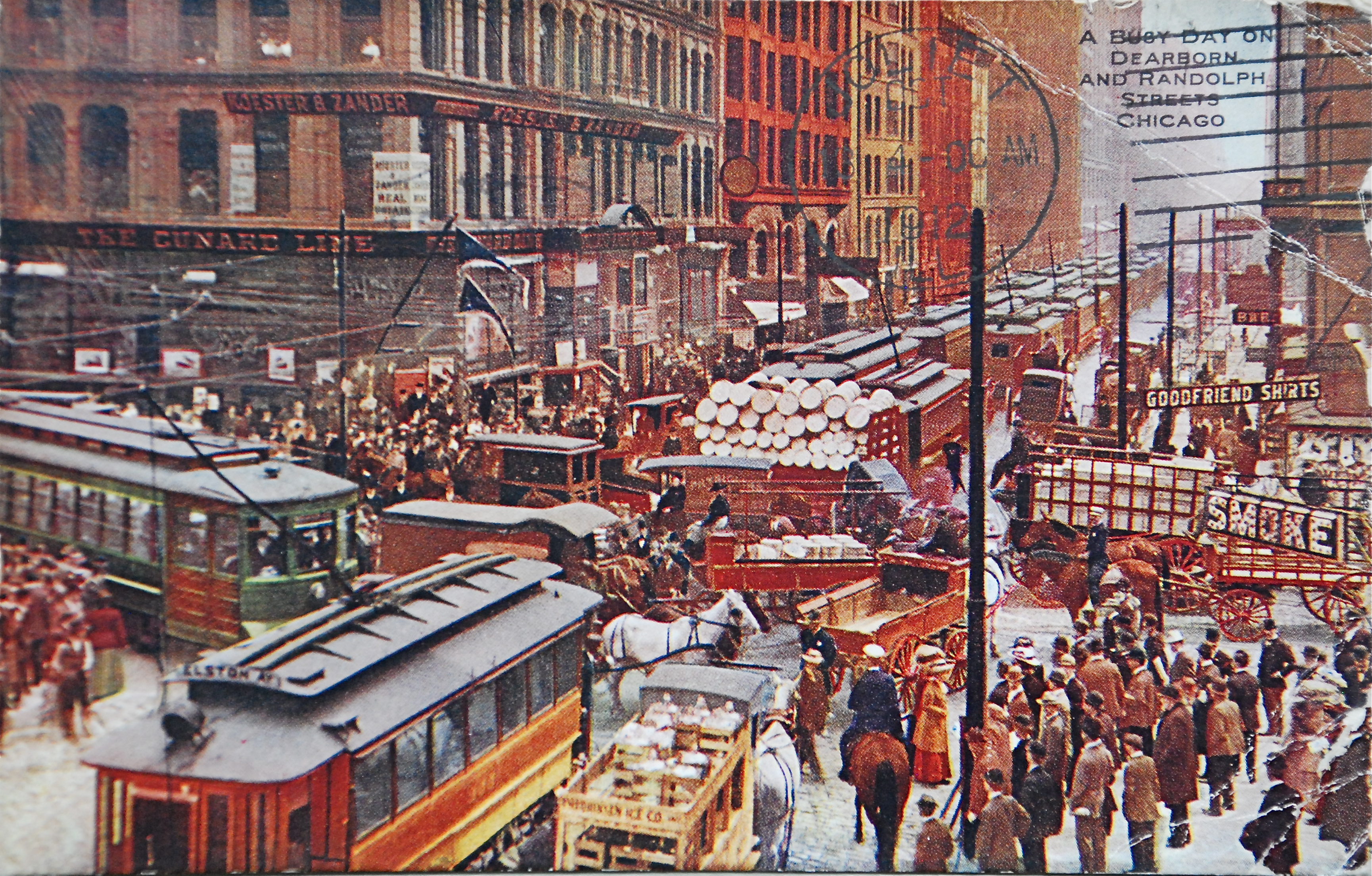
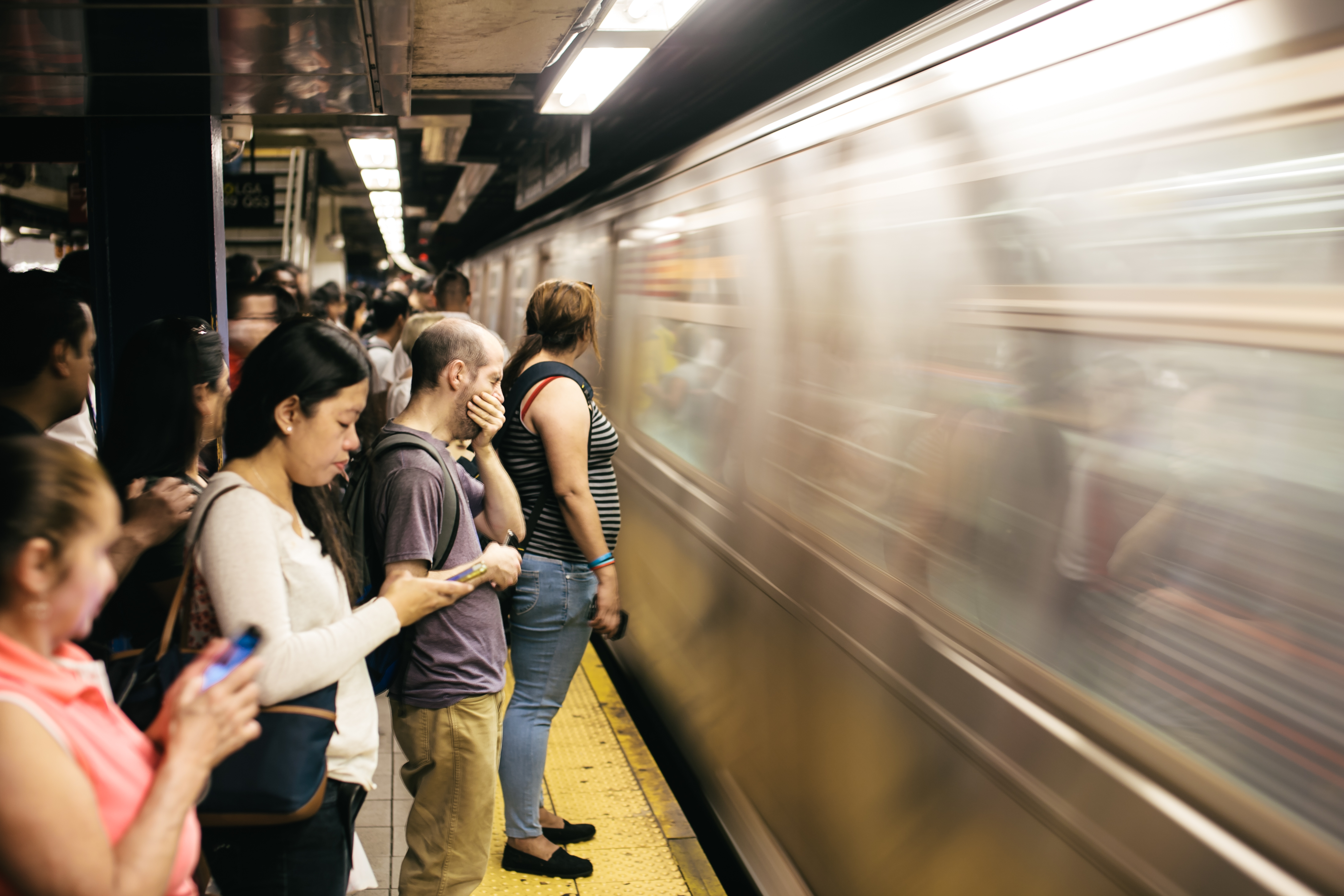
A rush hour (American English, British English) or peak hour (Australian English) is a part of the day during which traffic congestion on roads and crowding on public transport is at its highest. Normally, this happens twice every weekday: once in the morning and once in the afternoon or evening, the times during which the most people commute. The term is often used for a period of peak congestion that may last for more than one hour. The term is very broad, but often refers specifically to private automobile transportation traffic, even when there is a large volume of cars on a road but not many people, or if the volume is normal but there is some disruption of speed. By analogy to vehicular traffic, the term Internet rush hour has been used to describe periods of peak data network usage, resulting in delays and slower delivery of data packets. Definition The name is sometimes a misnomer, as the peak period often lasts more than one hour and the "rush" refers to the volume ... [...More Info...] [...Related Items...] OR: [Wikipedia] [Google] [Baidu] |
Skip-stop On The Chicago "L"
The Chicago "L" used skip-stop service, wherein certain trains would stop only at certain designated stations on a route, from 1948 to 1995. It was implemented as a way to speed up travel within a route, and was one of the Chicago Transit Authority's first reforms upon its assumption of the "L" operations. Background The main part of the Chicago "L" was built in stages between 1892 and 1900. Originally the purview of four private companies, those companies merged to form the Chicago Rapid Transit Company in 1924. There was very little spending on expanding rapid transit within the city from the 1910s to the 1930s, and by 1936 Manhattan had more miles of rapid transit than the entire city of Chicago despite having a tenth of the land area and a lower population. By the 1920s, the "L" was criticized for its mismanagement, in particular Chicago's lack of a subway system in contrast to other cities such as New York and Boston; construction of a subway was a plank of William Emmett D ... [...More Info...] [...Related Items...] OR: [Wikipedia] [Google] [Baidu] |
Northwestern Elevated Railroad
The Northwestern Elevated Railroad was the last of the privately constructed rapid transit lines to be built in Chicago. The line ran from the Loop in downtown Chicago north to Wilson Avenue in Chicago's Uptown neighborhood with a branch to Ravenswood and Albany Park that left the main line at Clark Street. The Ravenswood line is now operated as the Brown Line, while the Main Line is used by the Purple and Red Lines. History Beginnings The Northwestern Elevated Railroad Company was incorporated on October 30, 1893,Borzo, ''The Chicago "L"'', p. 61. and on January 8, 1894, it was granted a 50-year franchise by the City of Chicago. The original franchise stipulated that service between a downtown location to the south of the Chicago River and Wilson Avenue was to begin by December 31, 1897. This franchise was altered in 1895 to allow the line to connect to the new Union Loop, and the deadline for completion was later extended to May 31, 1899. Construction of the line started in ... [...More Info...] [...Related Items...] OR: [Wikipedia] [Google] [Baidu] |
Southport Avenue
Loomis Street is a north–south street in Chicago that is 1400 W in Chicago's grid system, making it west of the north–south baseline of State Street. It runs from the Chicago and Northwestern Railway tracks south, with interruptions, to Center Avenue in the suburb of Homewood. Between the railway tracks and the north branch of the Chicago River it is known as Noble Street and north of the River's north branch it is known as Southport Avenue. As Southport Avenue it goes up north to its intersection with Clark Street just south of Berteau. The street continues again at Argyle Street until Touhy Avenue as Glenwood Avenue. Loomis Street is named for Horatio G. Loomis, one of the founders of the Chicago Board of Trade. Noble Street is named after civic leaders John and Mark Noble, who were employees of constable Archibald Clybourn. Transit Glenwood Avenue *The Morse station is located along Glenwood Avenue on the CTA Red Line. Southport Avenue *Southport Avenue has a stop on th ... [...More Info...] [...Related Items...] OR: [Wikipedia] [Google] [Baidu] |
Southport 2005
Southport is a seaside town in the Metropolitan Borough of Sefton in Merseyside, England. At the 2001 census, it had a population of 90,336, making it the eleventh most populous settlement in North West England. Southport lies on the Irish Sea coast and is fringed to the north by the Ribble estuary. The town is north of Liverpool and southwest of Preston. Within the boundaries of the historic county of Lancashire, the town was founded in 1792 when William Sutton, an innkeeper from Churchtown, built a bathing house at what is now the south end of Lord Street.''North Meols and Southport – a History'', Chapter 9, Peter Aughton (1988) At that time, the area, known as South Hawes, was sparsely populated and dominated by sand dunes. At the turn of the 19th century, the area became popular with tourists due to the easy access from the nearby Leeds and Liverpool Canal. The rapid growth of Southport largely coincided with the Industrial Revolution and the Victorian er ... [...More Info...] [...Related Items...] OR: [Wikipedia] [Google] [Baidu] |
Southport CTA Entrance 20120325
Southport is a seaside town in the Metropolitan Borough of Sefton in Merseyside, England. At the 2001 census, it had a population of 90,336, making it the eleventh most populous settlement in North West England. Southport lies on the Irish Sea coast and is fringed to the north by the Ribble estuary. The town is north of Liverpool and southwest of Preston. Within the boundaries of the historic county of Lancashire, the town was founded in 1792 when William Sutton, an innkeeper from Churchtown, built a bathing house at what is now the south end of Lord Street.''North Meols and Southport – a History'', Chapter 9, Peter Aughton (1988) At that time, the area, known as South Hawes, was sparsely populated and dominated by sand dunes. At the turn of the 19th century, the area became popular with tourists due to the easy access from the nearby Leeds and Liverpool Canal. The rapid growth of Southport largely coincided with the Industrial Revolution and the Victorian er ... [...More Info...] [...Related Items...] OR: [Wikipedia] [Google] [Baidu] |
Lakeview, Chicago
Lakeview, also spelled Lake View, is one of the 77 community areas of Chicago, Illinois. Lakeview is located in the city's North Side. It is bordered by West Diversey Parkway on the south, West Irving Park Road on the north, North Ravenswood Avenue on the west, and the shore of Lake Michigan on the east. The Uptown community area is to Lakeview's north, Lincoln Square to its northwest, North Center to its west, and Lincoln Park to its south. The 2020 population of Lakeview was 103,050 residents, making it the second largest of the Chicago community areas by population. Lakeview includes smaller neighborhood enclaves: Sheridan Station Corridor, Northhalsted, Southport Corridor, Wrigleyville, and Wrigley Plaza. Boystown, famous for its large LGBT population, which holds a pride parade each June. Wrigleyville is another popular district. It surrounds Wrigley Field, home of the Chicago Cubs. Lakeview is home to the Belmont Theater District showcasing over 30 theaters and live pe ... [...More Info...] [...Related Items...] OR: [Wikipedia] [Google] [Baidu] |
Chicago
(''City in a Garden''); I Will , image_map = , map_caption = Interactive Map of Chicago , coordinates = , coordinates_footnotes = , subdivision_type = Country , subdivision_name = United States , subdivision_type1 = State , subdivision_type2 = Counties , subdivision_name1 = Illinois , subdivision_name2 = Cook and DuPage , established_title = Settled , established_date = , established_title2 = Incorporated (city) , established_date2 = , founder = Jean Baptiste Point du Sable , government_type = Mayor–council , governing_body = Chicago City Council , leader_title = Mayor , leader_name = Lori Lightfoot ( D) , leader_title1 = City Clerk , leader_name1 = Anna Valencia ( D) , unit_pref = Imperial , area_footnotes = , area_tot ... [...More Info...] [...Related Items...] OR: [Wikipedia] [Google] [Baidu] |


