|
Short-tailed Emerald
The short-tailed emerald (''Chlorostilbon poortmani'') is a species of hummingbird in the "emeralds", tribe Trochilini of subfamily Trochilinae. It is found in Colombia and Venezuela.HBW and BirdLife International (2020) ''Handbook of the Birds of the World and BirdLife International digital checklist of the birds of the world'' Version 5. Available at: http://datazone.birdlife.org/userfiles/file/Species/Taxonomy/HBW-BirdLife_Checklist_v5_Dec20.zip xls zipped 1 MBretrieved 27 May 2021 It has also been called Poortman's emerald hummingbird. Gould, John, ''A Monograph of the Trochilidae or Humming Birds with 360 plates'' (5 volumes, 1849–1861); 'Poortman's Emerald Hummingbird' is Plate 358 in volume 5 (1861) but the lithograph was published in 1860 Taxonomy and systematics Two subspecies of short-tailed emerald are recognized by the South American Classification Committee of the American Ornithological Society, the International Ornithological Committee (IOC), and the Clements ... [...More Info...] [...Related Items...] OR: [Wikipedia] [Google] [Baidu] |
Arcabuco
Arcabuco is a town and municipality in the Ricaurte Province, part of the Colombian Department of Boyacá. Arcabuco is situated on the Altiplano Cundiboyacense with the urban centre at an altitude of . The municipality borders Moniquirá and Gámbita in the north, Villa de Leyva and Chíquiza in the south, Cómbita in the east and Gachantivá and Villa de Leyva in the west. The department capital Tunja is to the south. Etymology The name Arcabuco comes from Chibcha and means either "Place of the intricate scrublands" or "Place enclosed by the hills".Etymology Arcabuco - Excelsio.net History The area of Arcabuco in the times before the |
Coppery Emerald
The coppery emerald (''Chlorostilbon russatus'') is a species of hummingbird in the "emeralds", tribe Trochilini of subfamily Trochilinae. It is found in Colombia and Venezuela.HBW and BirdLife International (2020) ''Handbook of the Birds of the World and BirdLife International digital checklist of the birds of the world'' Version 5. Available at: http://datazone.birdlife.org/userfiles/file/Species/Taxonomy/HBW-BirdLife_Checklist_v5_Dec20.zip xls zipped 1 MBretrieved 27 May 2021 Taxonomy and systematics The coppery emerald is monotypic. Description The male coppery emerald is long and females . The species weighs between . Both sexes have a short, straight, black bill. The male's forehead, crown, and upperparts are shining golden green. Its uppertail coverts are coppery green, and its slightly forked tail is golden coppery. Its underparts are glittering golden green. The female's forehead, crown, upperparts, flanks, and uppertail coverts are coppery green and its underpa ... [...More Info...] [...Related Items...] OR: [Wikipedia] [Google] [Baidu] |
Quechua Languages
Quechua (, ; ), usually called ("people's language") in Quechuan languages, is an indigenous language family spoken by the Quechua peoples, primarily living in the Peruvian Andes. Derived from a common ancestral language, it is the most widely spoken pre-Columbian language family of the Americas, with an estimated 8–10 million speakers as of 2004.Adelaar 2004, pp. 167–168, 255. Approximately 25% (7.7 million) of Peruvians speak a Quechuan language. It is perhaps most widely known for being the main language family of the Inca Empire. The Spanish encouraged its use until the Peruvian struggle for independence of the 1780s. As a result, Quechua variants are still widely spoken today, being the co-official language of many regions and the second most spoken language family in Peru. History Quechua had already expanded across wide ranges of the central Andes long before the expansion of the Inca Empire. The Inca were one among many peoples in present-day Peru who already spok ... [...More Info...] [...Related Items...] OR: [Wikipedia] [Google] [Baidu] |
Streptosolen Jamesonii
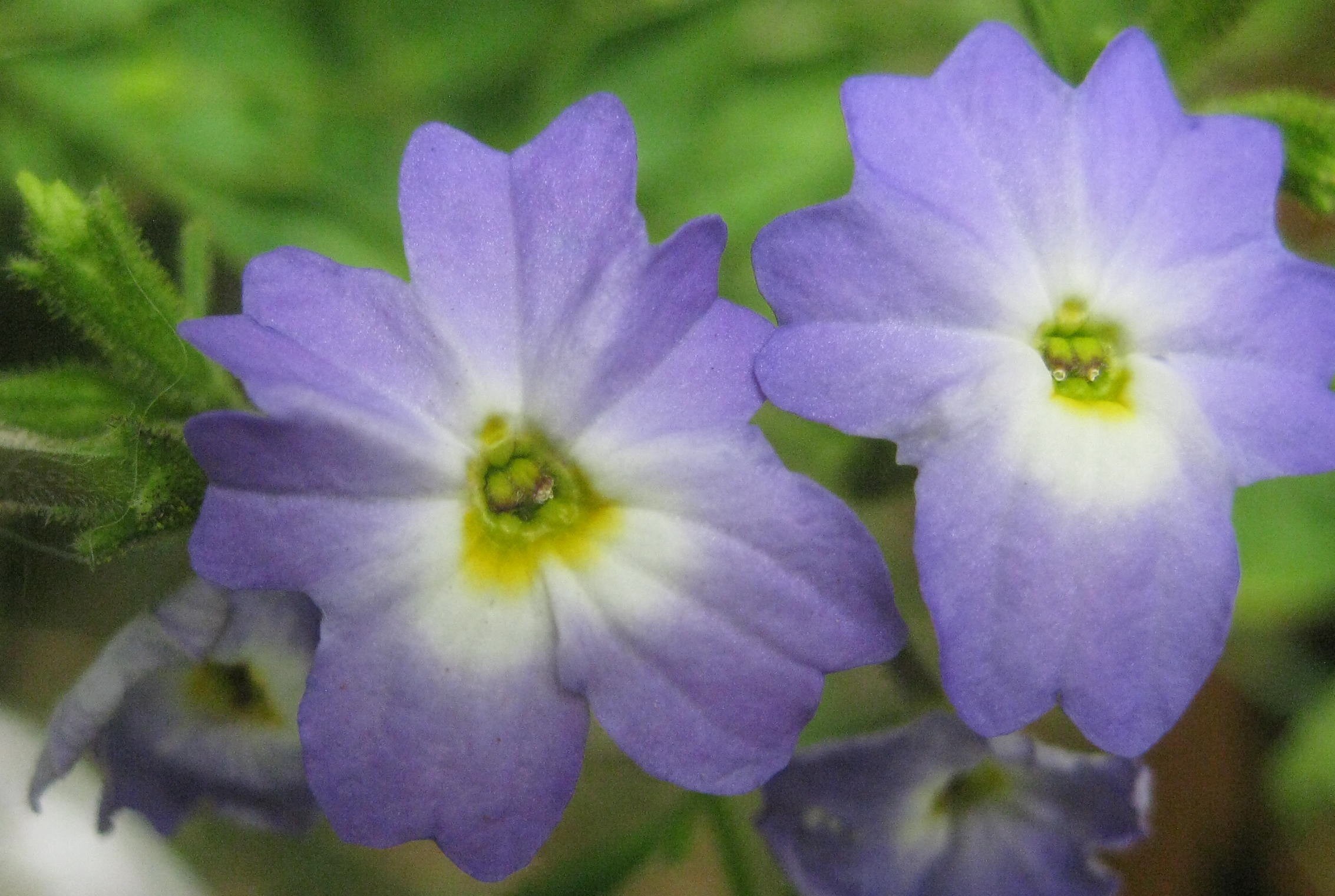
''Streptosolen'' is a monotypic genus of flowering plants in the family Solanaceae. It is closely related to the genus Browallia, within which it was originally placed. The single species, ''Streptosolen jamesonii'', the marmalade bush or fire bush, is an evergreen shrub bearing loose clusters of flowers which change gradually from yellow to red as they develop, resulting in an overall appearance resembling orange marmalade (whence the name), found in open woodlands in Colombia, Venezuela, Ecuador, and Peru. In its native Ecuador, the plant has the Spanish common names flor de quinde (= 'hummingbird flower'), flor del sol (= 'flower of the sun') and jaboncillo (= 'little soap (plant)').Montserrat Rios, Fani Tinitana, Pablo Jarrín, Natalia Donoso and Juan Carlos Romero-Benavides, ''“Horchata” drink in Southern Ecuador : medicinal plants and people’s wellbeing'' Journal of Ethnobiology and Ethnomedicine (2017). South American Spanish word ''quinde'' (''hummingbird'') is de ... [...More Info...] [...Related Items...] OR: [Wikipedia] [Google] [Baidu] |
Solanaceae
The Solanaceae , or nightshades, are a family of flowering plants that ranges from annual and perennial herbs to vines, lianas, epiphytes, shrubs, and trees, and includes a number of agricultural crops, medicinal plants, spices, weeds, and ornamentals. Many members of the family contain potent alkaloids, and some are highly toxic, but many—including tomatoes, potatoes, eggplant, bell and chili peppers—are used as food. The family belongs to the order Solanales, in the asterid group and class Magnoliopsida ( dicotyledons). The Solanaceae consists of about 98 genera and some 2,700 species, with a great diversity of habitats, morphology and ecology. The name Solanaceae derives from the genus ''Solanum''. The etymology of the Latin word is unclear. The name may come from a perceived resemblance of certain solanaceous flowers to the sun and its rays. At least one species of ''Solanum'' is known as the "sunberry". Alternatively, the name could originate from the Latin verb ''sol ... [...More Info...] [...Related Items...] OR: [Wikipedia] [Google] [Baidu] |
Hawking (birds)
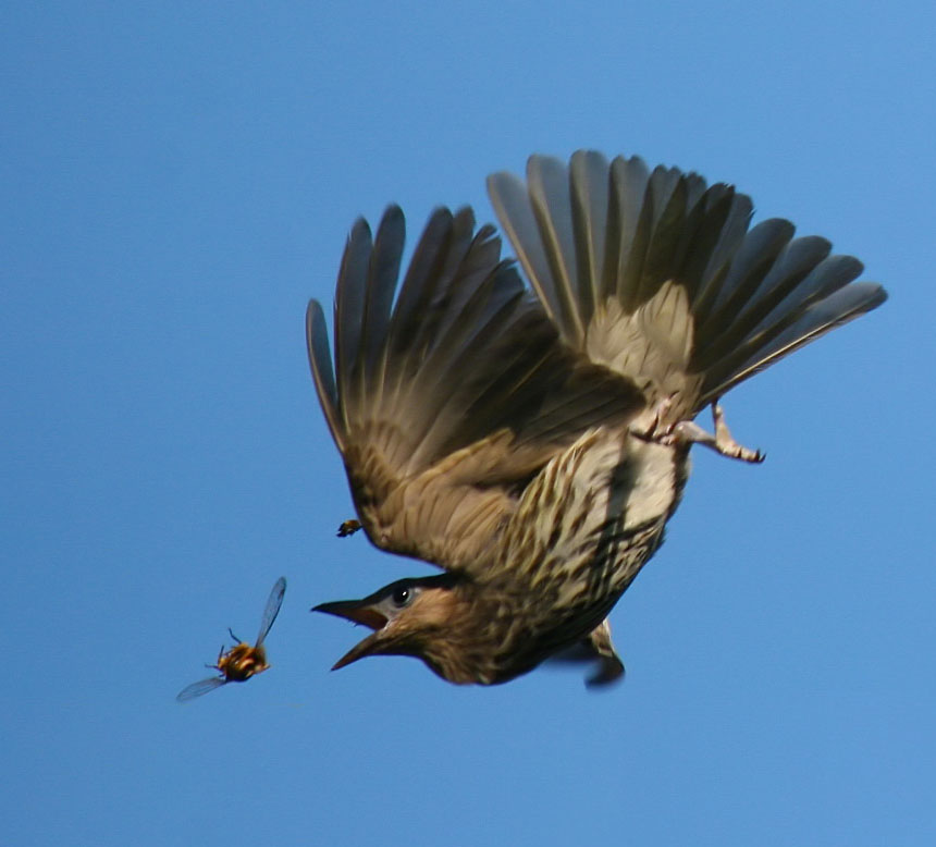
Hawking is a feeding strategy in birds involving catching flying insects in the air. The term usually refers to a technique of sallying out from a perch to snatch an insect and then returning to the same or a different perch, though it also applies to birds that spend almost their entire lives on the wing. This technique is called "flycatching" and some birds known for it are several families of "flycatchers": Old World flycatchers, monarch flycatchers, and tyrant flycatchers. Other birds, such as swifts, swallows, and nightjars, also take insects on the wing in continuous aerial feeding. The term "hawking" comes from the similarity of this behavior to the way hawks take prey in flight, although, whereas raptors may catch prey with their feet, hawking is the behavior of catching insects in the bill. Many birds have a combined strategy of both hawking insects and gleaning them from foliage. Flycatching The various methods of taking insects have been categorized as: gleaning (per ... [...More Info...] [...Related Items...] OR: [Wikipedia] [Google] [Baidu] |
Trap-lining
In ethology and behavioral ecology, trap-lining or traplining is a feeding strategy in which an individual visits food sources on a regular, repeatable sequence, much as trappers check their lines of traps. Traplining is usually seen in species foraging for floral resources. This involves a specified route in which the individual traverses in the same order repeatedly to check specific plants for flowers that hold nectar, even over long distances. Trap-lining has been described in several taxa, including bees, butterflies, tamarins, bats, rats, and hummingbirds and tropical fruit-eating mammals such as opossums, capuchins and kinkajous. Traplining is used to term the method in which bumblebees and hummingbirds go about collecting nectar, and consequently, pollinating each plant they visit. The term "traplining" was originally coined by Daniel Janzen, although the concept was discussed by Charles Darwin and Nikolaas Tinbergen. Behavioral response In the instance of hummingbirds ... [...More Info...] [...Related Items...] OR: [Wikipedia] [Google] [Baidu] |
Secondary Forest
A secondary forest (or second-growth forest) is a forest or woodland area which has re-grown after a timber harvest or clearing for agriculture, until a long enough period has passed so that the effects of the disturbance are no longer evident. It is distinguished from an old-growth forest (primary or primeval forest), which has not recently undergone such disruption, and complex early seral forest, as well as third-growth forests that result from harvest in second growth forests. Secondary forest regrowing after timber harvest differs from forest regrowing after natural disturbances such as fire, insect infestation, or windthrow because the dead trees remain to provide nutrients, structure, and water retention after natural disturbances. However, often after natural disturbance the timber is harvested and removed from the system, in which case the system more closely resembles secondary forest rather than seral forest. Description Depending on the forest, the development of ... [...More Info...] [...Related Items...] OR: [Wikipedia] [Google] [Baidu] |
Huila Department
Huila () is one of the departments of Colombia. It is located in the southwest of the country, and its capital is Neiva. Demography and Ethnography Huila is a department that has a population of 1,122,622 inhabitants, of which 679,667 (60.54%) people live in municipal capitals and 442,955 (39.46%) in the rest of the Huilense territory. This corresponds to 2.5% of the total Colombian population. The majority of the population is settled in the Magdalena valley, with epicenters in Neiva and Garzón due to the possibilities offered by the commercial-type agricultural economy, oil exploitation, the best provision of services and the road axes connected to the central axis that borders the Magdalena. The rest of the populations are located on the coffee belt, standing out Pitalito and La Plata, the North Subregion presents a decrease in its rural population, mainly attributable to the alterations of agricultural and oil activities on the landscape. The average population density ... [...More Info...] [...Related Items...] OR: [Wikipedia] [Google] [Baidu] |
Meta Department
Meta () is a departments of Colombia, department of Colombia. It is close to the geographic center of the country, to the east of the Andean mountains. A large portion of the department, which is also crossed by the Meta River, is covered by a grassland plain known as the Llanos. Its capital is Villavicencio. The department has a monument placed in the very geographic centre of Colombia, at a place known as Alto de Menegua, a few kilometers from Puerto López. Achagua language, Achagua, which is similar to Piapoco, is an indigenous languages of the Americas, Indigenous language spoken by a minority in the department. Municipalities See also * Juan Manuel González Torres * San Martín Territory * References External links Folklore llaneroGovernment Meta [...More Info...] [...Related Items...] OR: [Wikipedia] [Google] [Baidu] |
Boyacá Department
Boyacá () is one of the thirty-two departments of Colombia, and the remnant of Boyacá State, one of the original nine states of the "United States of Colombia". Boyacá is centrally located within Colombia, almost entirely within the mountains of the Eastern Cordillera to the border with Venezuela, although the western end of the department extends to the Magdalena River at the town of Puerto Boyacá. Boyacá borders to the north with the Department of Santander, to the northeast with the Bolivarian Republic of Venezuela and Norte de Santander, to the east with the departments of Arauca and Casanare. To the south, Boyacá borders the department of Cundinamarca and to the west with the Department of Antioquia covering a total area of . The capital of Boyacá is the city of Tunja. Boyacá is known as "The Land of Freedom" because this region was the scene of a series of battles which led to Colombia's independence from Spain. The first one took place on 25 July 1819 in ... [...More Info...] [...Related Items...] OR: [Wikipedia] [Google] [Baidu] |

.png)


