|
Ruzhintsi
Ruzhintsi ( bg, Ружинци, ; also transliterated ''Ružinci'', ''Ruzhinci'', ''Ruzhintzi'', ''Rujinci'', ''Rujintsi'', ''Rujintzi'', etc.) is a village in northwestern Bulgaria, part of Vidin Province. It is the administrative centre of the homonymous Ruzhintsi Municipality, which lies in the southeastern part of Vidin Province. Ruzhintsi is located 54 kilometres from the provincial capital Vidin and 43 kilometres from Montana. The village may have been founded in the 14th century. There are several etymologies suggested, two from Proto-Indo-European ''*h₁reudʰ-ó-'' ("red"): from ''ruzha'' ("rose") or from the dialectal verb ''oruzhavam'' ("burn down"), and one involving the name of Fruzhin, son of Bulgarian tsar Ivan Shishman and organizer of the anti-Ottoman Uprising of Konstantin and Fruzhin in the early 15th century. The village church was built in 1852 together with a monastical school. Municipality Ruzhintsi municipality has an area of 232 square kilometres and i ... [...More Info...] [...Related Items...] OR: [Wikipedia] [Google] [Baidu] |
Ruzhintsi Municipality
Ruzhintsi Municipality ( bg, Община Ружинци) is a municipality ('' obshtina'') in Vidin Province, Northwestern Bulgaria, located in the Danubian Plain about 8 km south of Danube river. It is named after its administrative centre - the village of Ruzhintsi. The municipality embraces a territory of 232 km² with a population of 4,890 inhabitants, as of December 2009. The main road E79 crosses the southern parts of the area, connecting the province centre of Vidin with the city of Montana and respectively with the western operating part of Hemus motorway. Settlements Ruzhintsi Municipality includes the following 10 places all of them villages: Demography The following table shows the change of the population during the last four decades. Religion According to the latest Bulgarian census of 2011, the religious composition, among those who answered the optional question on religious identification, was the following: An overwhelming majority of t ... [...More Info...] [...Related Items...] OR: [Wikipedia] [Google] [Baidu] |
Vidin Province
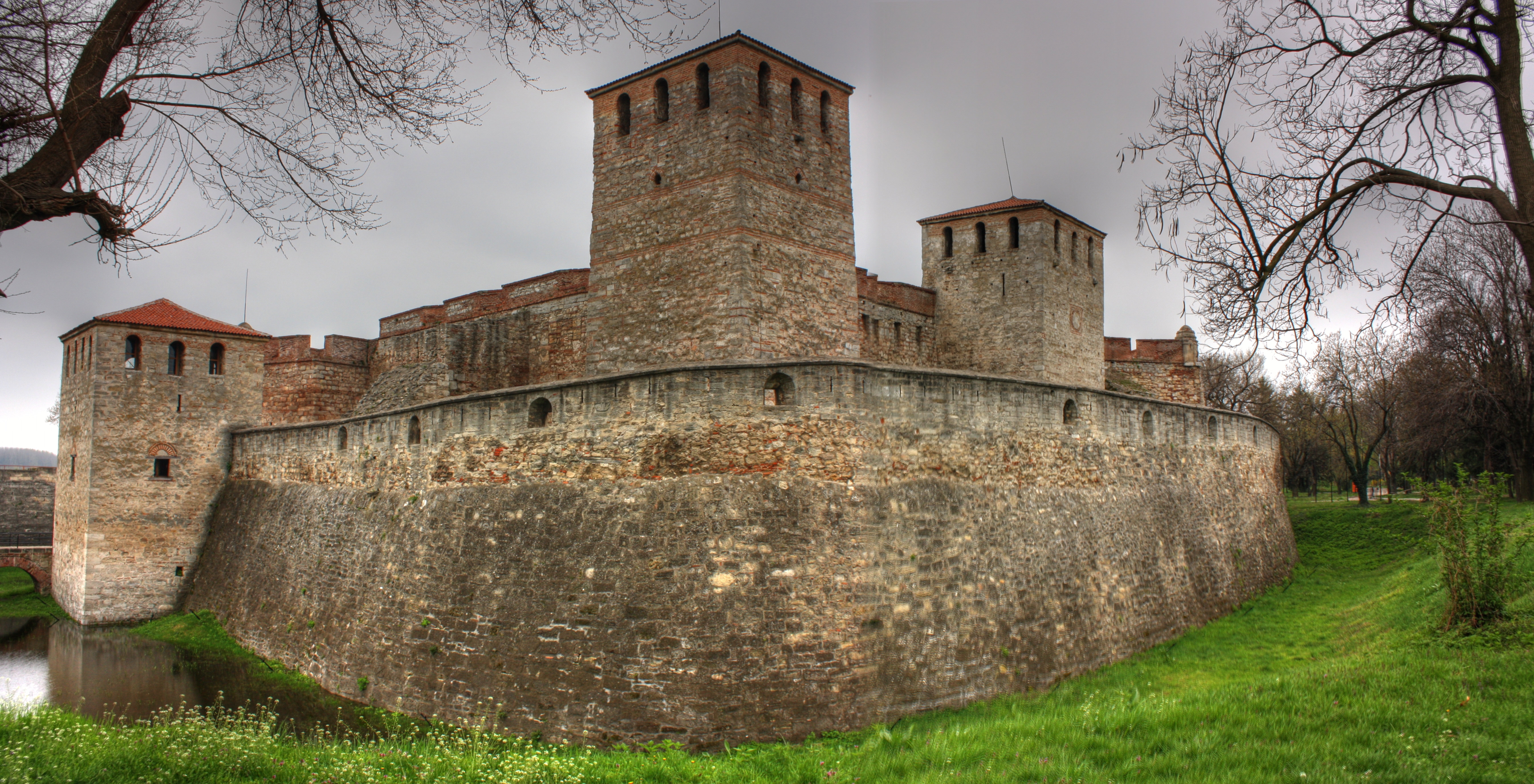
Vidin Province () is the northwesternmost province of Bulgaria. It borders Serbia to the west and Romania to the northeast. Its administrative centre is the city of Vidin on the Danube river. The area is divided into 11 municipalities. As of December 2009, the province has a population of 108,067 inhabitants. There are remains of many castles, including Baba Vida, one of the last Bulgarian strongholds during the Ottoman invasion and the Belogradchik fortress. Municipalities The Vidin Province contains 11 municipalities (singular: община, ''obshtina'' - plural: общини, ''obshtini''). The following table shows the names of each municipality in English and Cyrillic, the main town (in bold) or village, and the population of each as of December 2009. Geography The territory of the province includes the most western parts of the Danubian Plain and Stara Planina, while the Danube forms the border with Romania. The slopes of Stara Planina are covered with dense f ... [...More Info...] [...Related Items...] OR: [Wikipedia] [Google] [Baidu] |
Belo Pole, Vidin Province
{{Infobox settlement , name = Belo Pole , native_name = Бело поле , native_name_lang = bg , settlement_type = Village , image_skyline = , image_alt = , image_caption = , etymology = , nickname = , population_total = 726 , population_as_of = 2013-12-31 , elevation_m = 154 , postal_code = 3961 , pushpin_map = Bulgaria , pushpin_label_position = bottom , pushpin_map_alt = , pushpin_map_caption = Location in Bulgaria , coordinates = {{coord, 43.652, 22.903, region:BG, display=inline,title , subdivision_type = Country , subdivision_name = Bulgaria , subdivision_type1 = Province , subdivision_name1 = Vidin Province , subdivision_type2 = Municipality , subdivision_name2 = Ruzhintsi Municipality , website = Belo Pol ... [...More Info...] [...Related Items...] OR: [Wikipedia] [Google] [Baidu] |
Drenovets
Drenovets (Bulgarian: Дреновец) is a village in north-western Bulgaria. It is located in the municipality of Ruzhintsi, Vidin Province Vidin Province () is the northwesternmost province of Bulgaria. It borders Serbia to the west and Romania to the northeast. Its administrative centre is the city of Vidin on the Danube river. The area is divided into 11 municipalities. As of De .... As of December 2013, the village has a population of 1302. References * http://www.guide-bulgaria.com/nw/vidin/rujintsi/drenovets Villages in Vidin Province {{Vidin-geo-stub ... [...More Info...] [...Related Items...] OR: [Wikipedia] [Google] [Baidu] |
Lom River
The Lom ( , ) is a river in northwestern Bulgaria, a right tributary of the Danube flowing into it 1 km east of the town of Lom. The river takes its source from the foot of Midzhur (2,168 m), the highest peak of western Stara Planina, on the Bulgarian-Serbian border, and mainly flows northeast until its upper course, where it heads north. It passes the villages of Gorni Lom, Dolni Lom, Sredogriv, Falkovets, Ruzhintsi, Drazhintsi, Belo Pole, Roglets, Drenovets, Topolovets, Knyazheva Mahala, Kriva Bara, Vasilovtsi, Staliyska Mahala, Traykovo Traykovo ( bg, Трайково) is a village in Northwestern Bulgaria. It is located in Lom Municipality, Montana Province. It is situated 10 km southwest of the town of Lom, 49 km north of Montana and about 150 km in the same di ..., as well as three quarters of the town of Lom: Momin Brod, Dalgoshevtsi and Golintsi. References Rivers of Bulgaria Landforms of Vidin Province Landforms of Montana Provinc ... [...More Info...] [...Related Items...] OR: [Wikipedia] [Google] [Baidu] |
Cherno Pole
{{dab ...
Cherno (Russian "black") may refer to: *Cherno more (other), black sea * ''Cherno'' (album), by Finnish metal band KYPCK, 2008 *Cherno Samba, footballer *Cherno Jallow, former Attorney General of the British Virgin Islands *Cherno Jah, record producer, see Neneh Cherry See also *Chernozem Chernozem (from rus, чернозём, p=tɕɪrnɐˈzʲɵm, r=chernozyom; "black ground"), also called black soil, is a black-colored soil containing a high percentage of humus (4% to 16%) and high percentages of phosphorus and ammonia compoun ... [...More Info...] [...Related Items...] OR: [Wikipedia] [Google] [Baidu] |
