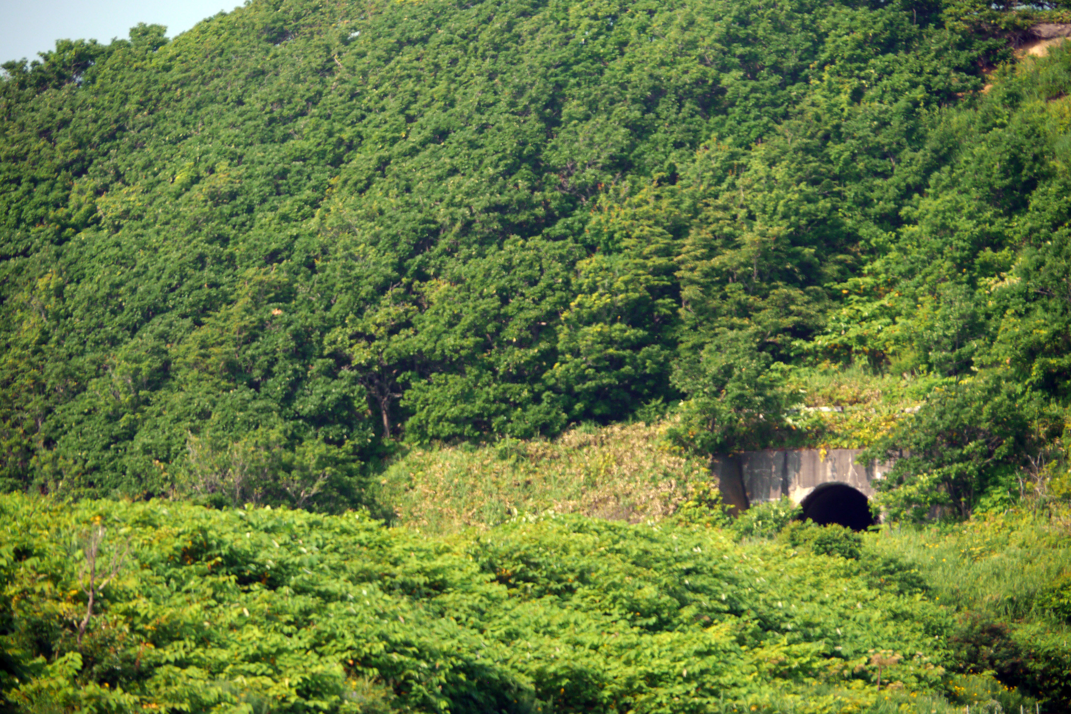
Rumoi Subprefecture
   HOME
*


picture info

Rumoi Subprefecture
is a subprefecture of Hokkaido Prefecture, Japan. As of 2011, it had a population of 52,627 and an area of . The population density of the subprefecture, 13 people per km2, is very low compared to the rest of Japan. The population of Rumoi Subprefecture represents 0.96% of the overall population of Hokkaido. Geography Rumoi Subprefecture stretches broadly across the coast of the Sea of Japan in northwestern Hokkaido. Municipalities Mergers Rivers The Rumoi River flows from Mount Poroshiri in the Hidaka Mountain range to the Sea of Japan. History Mashike Subprefecture was established as part of the administrative reforms of Hokkaido during the Meiji period (1868 – 1912). The capital was moved to Rumoi in 1914, and the subprefecture was renamed to Rumoi Subprefecture in the same year. Toyotomi Town) in Teshio District transferred to Sōya Subprefecture in 1948, and Horonobe was transferred to Sōya Subprefecture in 2010. Economy The fishing industries domin ...
[...More Info...]      
[...Related Items...]     OR:     [Wikipedia]   [Google]   [Baidu]  


Subprefectures Of Hokkaido
Hokkaido Prefecture had 14 branch offices called 支庁 (shichō) in Japanese Japanese may refer to: * Something from or related to Japan, an island country in East Asia * Japanese language, spoken mainly in Japan * Japanese people, the ethnic group that identifies with Japan through ancestry or culture ** Japanese diaspor ..., which is often translated in English as subprefectures. Normally, a subprefecture consists of a few to a dozen cities, towns, and/or villages. From April 2010, Hokkaido has 9 General Subprefectural Bureaus (総合振興局, sōgō-shinkō-kyoku, literally "Comprehensive Promotion Bureau") and 5 Subprefectural Bureaus (振興局, shinkō-kyoku, literally "Promotion Bureau")). For historical reasons, some older people in Hokkaido use the subprefecture name suffixed by ''-kannai'' in their address. History List of subprefectures Reorganization The prefectural government of Hokkaido planned to reorganize the current 14 subprefectures into 9 subpref ...
[...More Info...]      
[...Related Items...]     OR:     [Wikipedia]   [Google]   [Baidu]  


picture info

Haboro, Hokkaido
is a town located in Rumoi Subprefecture, Hokkaido, Japan. As of September 2016, the town has an estimated population of 7,338. The total area is 472.49 km2. The town also administers the two islands of Yagishiri and Teuri. Haboro was officially designated a town in 1921. The villages of Teuri and Yagishiri were merged into Haboro in 1955 and 1959, respectively. Etymology The name of the town is from the Ainu language, but of uncertain origin. Haboro may have originated with the Ainu language word ''hapuru'', meaning "a soft sound", or ''haporopetsu'', meaning "the basin of a large river". In Japanese, the name of the town is written with ateji, or kanji characters used to phonetically represent native or borrowed words. The first, , means "feather" or "wings", and the second, , means "curtain" or "cloth". Geography Haboro faces the Sea of Japan. Much of the area of the town is within the Teshio Mountains, and much of the town is protected as a national forest. Mount P ...
[...More Info...]      
[...Related Items...]     OR:     [Wikipedia]   [Google]   [Baidu]  


picture info

Flag Of Shosanbetsu, Hokkaido
A flag is a piece of fabric (most often rectangular or quadrilateral) with a distinctive design and colours. It is used as a symbol, a signalling device, or for decoration. The term ''flag'' is also used to refer to the graphic design employed, and flags have evolved into a general tool for rudimentary signalling and identification, especially in environments where communication is challenging (such as the maritime environment, where semaphore is used). Many flags fall into groups of similar designs called flag families. The study of flags is known as "vexillology" from the Latin , meaning "flag" or "banner". National flags are patriotic symbols with widely varied interpretations that often include strong military associations because of their original and ongoing use for that purpose. Flags are also used in messaging, advertising, or for decorative purposes. Some military units are called "flags" after their use of flags. A ''flag'' (Arabic: ) is equivalent to a brigade in ...
[...More Info...]      
[...Related Items...]     OR:     [Wikipedia]   [Google]   [Baidu]  


picture info

Rumoi In Hokkaido Prefecture Ja
is a Cities of Japan, city located in Rumoi Subprefecture, Hokkaido, Japan. It is the capital of Rumoi Subprefecture. As of September 2016, the city has an estimated population of 22,242 and the population density, density of 75 persons per km2. The total area is 297.44 km2. History Rumoi was developed by Pacific herring, herring fishery and mining. *1869: Rurumoppe was renamed Rumoi. *1877: The village of Rumoi was founded. *1902: The villages of Rumoi and Reuke were merged to form Rumoi Village. *1907: Sandomari village was merged into Rumoi village. *1908: Rumoi village became Rumoi town. *1914: The capital of Mashike Subprefecture was transferred from Mashike to Rumoi and Mashike Subprefecture was renamed Rumoi Subprefecture. *1919: Obirashibe village (now Obira town) was split off. *1945 Rumoi was designated as the site of the proposed Soviet invasion of Hokkaido, with a plan to occupy the island from Rumoi in the west to Kushiro, Hokkaido, Kushiro in the east. The plan ...
[...More Info...]      
[...Related Items...]     OR:     [Wikipedia]   [Google]   [Baidu]  


picture info

Flag Of Rumoi, Hokkaido
A flag is a piece of fabric (most often rectangular or quadrilateral In geometry a quadrilateral is a four-sided polygon, having four edges (sides) and four corners (vertices). The word is derived from the Latin words ''quadri'', a variant of four, and ''latus'', meaning "side". It is also called a tetragon, ...) with a distinctive design and colours. It is used as a symbol, a signalling device, or for decoration. The term ''flag'' is also used to refer to the graphic design employed, and flags have evolved into a general tool for rudimentary signalling and identification, especially in environments where communication is challenging (such as the Maritime flag, maritime environment, where Flag semaphore, semaphore is used). Many flags fall into groups of similar designs called flag families. The study of flags is known as "vexillology" from the Latin , meaning "flag" or "banner". National flags are patriotic symbols with widely varied interpretations that often inclu ...
[...More Info...]      
[...Related Items...]     OR:     [Wikipedia]   [Google]   [Baidu]  


picture info

Obira In Hokkaido Prefecture Ja
Obi (also called Obira) is the main island in the Obi Islands group of Indonesia, south of the larger Halmahera in North Maluku. Its area is 2,542 km². The island is eponymous to the Obi Island Birdwing, an endemic species of butterfly.Global Biodiversity Information Facility
record for ''Ornithoptera aesacus''
Extensive logging on the island has reduced its habitat, making the species' conservation a concern. In July 2016, provincial governor
Abdul Ghani Kasuba Abdul Ghani Kasuba is an Indonesian politician and the current governor and former lieutenant governor of North Maluku. Kasuba denoted South Halmahera Regency as a region h ...
[...More Info...]      
[...Related Items...]     OR:     [Wikipedia]   [Google]   [Baidu]  


Rumoi District, Hokkaido
is a Districts of Japan, district located in Rumoi Subprefecture, Hokkaido, Japan. As of 2004, the district has an estimated population of 4,337 and a population density, density of 6.91 persons per km2. The total area is 627.29 km2. Rumoi district is co-extensive with Obira town in land area. Town

*Obira, Hokkaido, Obira In July 2004, the city of Rumoi, Hokkaido, Rumoi, the town of Obira, and the town of Mashike, Hokkaido, Mashike from Mashike District, Hokkaido, Mashike District were supposed to form the South Rumoi Three-Municipality Merger Board, aiming at merging the three, in which case Rumoi and Masahike Districts would cease to exist. However, this has yet to occur. Districts in Hokkaido {{Hokkaido-geo-stub ...
[...More Info...]      
[...Related Items...]     OR:     [Wikipedia]   [Google]   [Baidu]  


Obira, Hokkaido
is a town located in Rumoi Subprefecture, Hokkaido, Japan. As of September 2016, the town has an estimated population of 3,277 and a density Density (volumetric mass density or specific mass) is the substance's mass per unit of volume. The symbol most often used for density is ''ρ'' (the lower case Greek letter rho), although the Latin letter ''D'' can also be used. Mathematical ... of 5.2 persons per km2. The total area is 627.29 km2. Climate Mascot Obira's mascot is who is a curious and kind heart superhero that resembles a bull. Legend has it that this figure was formed from a bull, a melon, an octopus, two scallops, two fishes and a rice bowl on August 12, 2014. No one knows its gender yet. It can eat anything that is locally produced especially melon, beef, octopus, scallops, herring and rice. His charm point is a red star on his forehead to show its status has mascot of the town. References External links *Official Website Towns in Hokkaido
[...More Info...]       [...Related Items...]     OR:     [Wikipedia]   [Google]   [Baidu]  


picture info

Flag Of Obira, Hokkaido
A flag is a piece of fabric (most often rectangular or quadrilateral) with a distinctive design and colours. It is used as a symbol, a signalling device, or for decoration. The term ''flag'' is also used to refer to the graphic design employed, and flags have evolved into a general tool for rudimentary signalling and identification, especially in environments where communication is challenging (such as the maritime environment, where semaphore is used). Many flags fall into groups of similar designs called flag families. The study of flags is known as "vexillology" from the Latin , meaning "flag" or "banner". National flags are patriotic symbols with widely varied interpretations that often include strong military associations because of their original and ongoing use for that purpose. Flags are also used in messaging, advertising, or for decorative purposes. Some military units are called "flags" after their use of flags. A ''flag'' (Arabic: ) is equivalent to a brigade in ...
[...More Info...]      
[...Related Items...]     OR:     [Wikipedia]   [Google]   [Baidu]  


Mashike In Hokkaido Prefecture Ja
is a town located in Rumoi Subprefecture, Hokkaido, Japan. As of September 2016, the town has an estimated population of 4,634 and a density of 13 persons per km2. The total area is 369.64 km2. Mashike's main distinction is the sake brewery Kunimare, which is well known throughout Hokkaido. Mashike also has several fruit farms, and it is easy to buy directly from the farmers. Mashike was the terminus of the JR Hokkaido Rumoi Main Line which ran from , but the section of the line between and was closed on 4 December 2016, owing to declining passenger use. Mashike has a small ski resort with only two lifts, although it is the biggest one in Rumoi District. Driving further up into the mountains from the ski resort is Shokanbetsu-Teuri-Yagishiri Quasi-National Park is a quasi-national park in Hokkaidō, Japan.
[...More Info...]       [...Related Items...]     OR:     [Wikipedia]   [Google]   [Baidu]  


Mashike District, Hokkaido
is a district located in Rumoi Subprefecture, Hokkaido, Japan. As of 2004, the district has an estimated population of 5,736 and a density of 15.52 persons per km2. The total area is 369.64 km2. Town * Mashike In July 2004, the city of Rumoi, the town of Obira Obi (also called Obira) is the main island in the Obi Islands group of Indonesia, south of the larger Halmahera in North Maluku. Its area is 2,542 km². The island is eponymous to the Obi Island Birdwing, an endemic species of butterfly.
from Rumoi District, and the town of Masahike were supposed to form the South Rumoi Three-Municipality Merger Board, aiming at merging the three, in which case Rumoi and Masahike Districts would cease to exist. However, that hasn't occurred yet whatsoever.
[...More Info...]      
[...Related Items...]     OR:     [Wikipedia]   [Google]   [Baidu]  


Mashike, Hokkaido
is a town located in Rumoi Subprefecture, Hokkaido, Japan. As of September 2016, the town has an estimated population of 4,634 and a density of 13 persons per km2. The total area is 369.64 km2. Mashike's main distinction is the sake brewery Kunimare, which is well known throughout Hokkaido. Mashike also has several fruit farms, and it is easy to buy directly from the farmers. Mashike was the terminus of the JR Hokkaido Rumoi Main Line which ran from , but the section of the line between and was closed on 4 December 2016, owing to declining passenger use. Mashike has a small ski resort with only two lifts, although it is the biggest one in Rumoi District. Driving further up into the mountains from the ski resort is Shokanbetsu-Teuri-Yagishiri Quasi-National Park is a quasi-national park in Hokkaidō, Japan.
[...More Info...]       [...Related Items...]     OR:     [Wikipedia]   [Google]   [Baidu]