|
Route 126 (Massachusetts)
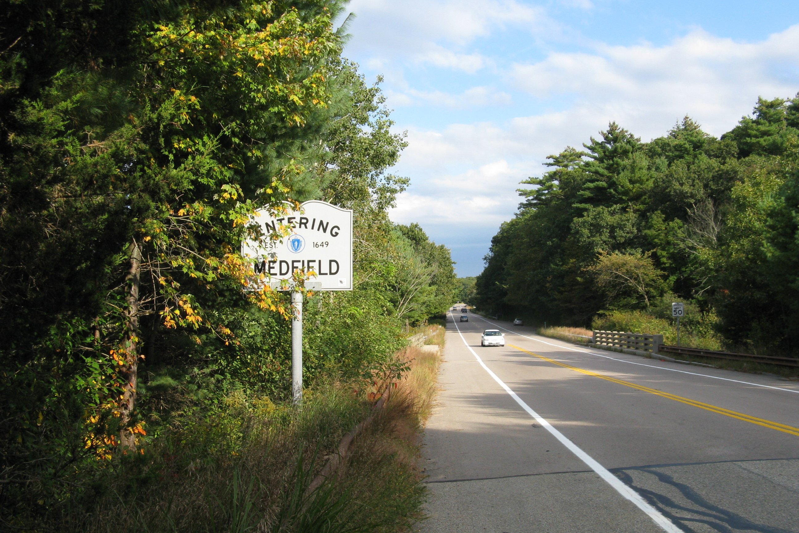
Route 126 is a north–south state highway in Massachusetts. Its southern terminus is a continuation of Rhode Island Route 126 by Woonsocket, Rhode Island and its northern terminus is at Route 2 and Route 2A in Concord. Along the way it intersects several major routes including Interstate 495 (I-495) in Bellingham, Route 9 in Framingham, and U.S. Route 20 (US 20) in Wayland. Route description Route 126 begins at the Rhode Island state line, continuing into Woonsocket as Rhode Island Route 126. After a short stretch in the town of Blackstone and Worcester County, Route 126 enters the town of Bellingham and Norfolk County, heading north. In Bellingham, Route 126 has a short concurrency with Route 140 at the center of town. In the north of the town, the route turns east on Hartford Avenue, crossing I-495 at Exit 18. Shortly after entering the town of Medway, the route turns north again, crossing Route 109 shortly after that. Route 126 then enters Holliston, in ... [...More Info...] [...Related Items...] OR: [Wikipedia] [Google] [Baidu] |
Massachusetts Department Of Transportation
The Massachusetts Department of Transportation (MassDOT) oversees roads, public transit, aeronautics, and transportation licensing and registration in the US state of Massachusetts. It was created on November 1, 2009, by the 186th Session of the Massachusetts General Court upon enactment of the ''2009 Transportation Reform Act.'' History In 2009, Governor Deval Patrick proposed merging all Massachusetts transportation agencies into a single Department of Transportation. Legislation consolidating all of Massachusetts' transportation agencies into one organization was signed into law on June 26, 2009. The newly established Massachusetts Department of Transportation (MASSDOT) assumed operations from the existing conglomeration of state transportation agencies on November 1, 2009. This change included: * Creating the Highway Division from the former Massachusetts Turnpike Authority and Massachusetts Highway Department, MassHighways. * Assuming responsibility for the planning and ... [...More Info...] [...Related Items...] OR: [Wikipedia] [Google] [Baidu] |
Massachusetts Route 140
Route 140 is a north—south state highway which passes through Bristol, Norfolk and Worcester counties in Massachusetts. The highway follows a southeast-northwest trajectory, running from U.S. Route 6 (US 6) in New Bedford just north of Buzzards Bay northwest to an intersection with Route 12 in Winchendon, a few miles south of the border with New Hampshire. The southern 19 miles (30 km) of Route 140 between New Bedford and Taunton is a freeway known as the Alfred M. Bessette Memorial Highway, or more commonly, the Taunton-New Bedford Expressway. Route description New Bedford to Taunton Route 140 begins at an intersection with U.S. Route 6 (Kempton Street) and Brownell Avenue in Downtown New Bedford. This intersection is signed as exit 1 when traveling southbound on Route 140. About a mile north, Route 140 comes to its first interchange, a cloverleaf with Interstate 195, which connects Providence to Cape Cod. Route 140 then curves slightly to the right to avoid New Bed ... [...More Info...] [...Related Items...] OR: [Wikipedia] [Google] [Baidu] |
Lincoln, Massachusetts
Lincoln is a town in Middlesex County, Massachusetts. The population was 7,014 according to the 2020 United States Census, including residents of Hanscom Air Force Base that live within town limits. The town, located in the MetroWest region of Boston's suburbs, has a rich colonial history and large amounts of public conservation land. History Lincoln was settled by Europeans in 1654, as a part of Concord. The majority of Lincoln was formed by splitting off a substantial piece of southeast Concord and incorporated as a separate town in 1754. Due to their "difficulties and inconveniences by reason of their distance from the places of Public Worship in their respective Towns," local inhabitants petitioned the General Court to be set apart as a separate town. Because the new town was composed of parts "nipped" off from the adjacent towns of Concord, Weston (which itself had been part of Watertown) and Lexington (which itself had been part of Cambridge), it was sometimes referre ... [...More Info...] [...Related Items...] OR: [Wikipedia] [Google] [Baidu] |
Massachusetts Route 27
Route 27 is a south–north state highway in eastern Massachusetts. Its southern terminus is at Route 106 in Kingston and its northern terminus is at Route 4 in Chelmsford. Along the way it intersects several major highways including Route 24 in Brockton, U.S. Route 1 (US 1) in Walpole, Route 9 in Natick, US 20 in Wayland, and Route 2 in Acton. Route description Route 27 runs in a sweeping arc from Kingston to Chelmsford. For most of its route, it acts as an intermediate route between Interstate 95 and Interstate 495. Route 27 begins in Kingston at Route 106, approximately 1-1/4 miles west of Route 3. It heads northwest towards Brockton, passing through Pembroke, Hanson, East Bridgewater and Whitman. In Brockton the road shares a triple concurrency with Route 28 and Route 123 Eastbound (Route 123 Westbound only intersects with the route). From the center of town, Route 27 heads northwest, past the Westgate Mall, over Route 24 at Exits 33A-B (formerl ... [...More Info...] [...Related Items...] OR: [Wikipedia] [Google] [Baidu] |
Lake Cochituate
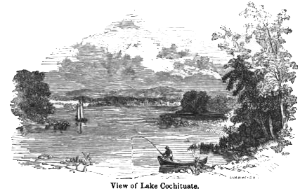
Lake Cochituate is a body of water in Natick, Wayland, and Framingham, Massachusetts, United States. Originally a reservoir serving Boston, it no longer serves that function, and is now a local recreational resource and home to Cochituate State Park. Description Lake Cochituate consists of three linked ponds known as North Pond, Middle Pond, and South Pond. A large peninsula in South Pond is the site of the US Army Soldier Systems Center (SSC), and the eastern shore holds the trails of Pegan Cove Park. Middle Pond is home to Cochituate State Park, which includes boat ramps and a picnic area. North Pond is the site of both Wayland Town Beach and Saxonville Beach of Framingham. On the edge of Middle Pond is the new MathWorks Lakeside campus. This building was originally a Carling brewery, built in 1957. The former Saxonville Industrial Track runs alongside sections of the lake, which brought supplies to both the Carling Brewery, the ITT Continental Bakery, and a Green Stamps war ... [...More Info...] [...Related Items...] OR: [Wikipedia] [Google] [Baidu] |
Massachusetts Turnpike
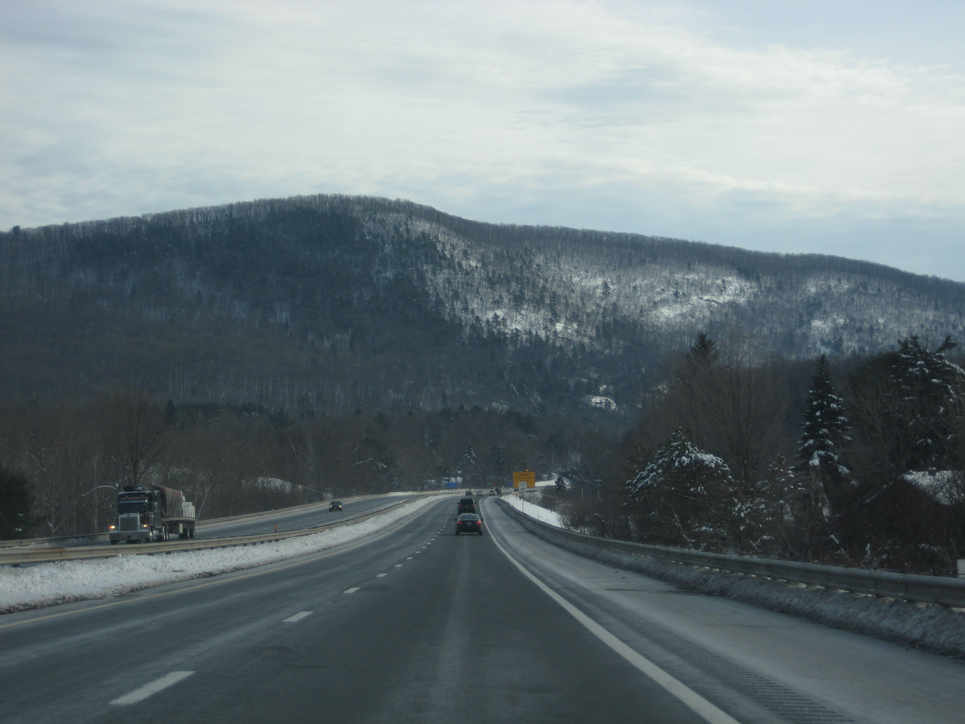
The Massachusetts Turnpike (colloquially "Mass Pike" or "the Pike") is a toll highway in the US state of Massachusetts that is maintained by the Massachusetts Department of Transportation (MassDOT). The turnpike begins at the New York state line in West Stockbridge, linking with the Berkshire Connector portion of the New York State Thruway. Spanning along an east–west axis, the turnpike constitutes the Massachusetts section of Interstate 90 (I-90). The turnpike is the longest Interstate Highway in Massachusetts, while I-90, in full (which begins in Seattle, Washington), is the longest Interstate Highway in the United States. The turnpike opened in 1957, and it was designated as part of the Interstate Highway System in 1959. The original western terminus of the turnpike was located at Route 102 in West Stockbridge before I-90 had been completed in New York state. The turnpike intersects with several Interstate Highways as it traverses the state, including I-91 i ... [...More Info...] [...Related Items...] OR: [Wikipedia] [Google] [Baidu] |
Massachusetts Route 30
Route 30 is a east–west arterial route, connecting Grafton with Packard's Corner in Boston. Route 30 runs roughly parallel to the Massachusetts Turnpike and Route 9, but unlike those two larger highways, takes a more meandering path from town to town. Between Boston and the Charles River it is known as Commonwealth Avenue, along most of this route is part of the course of the Boston Marathon. Route 30 has two interchanges with the Mass Pike, at Exits 13 in Framingham and 14/15 in Weston; the latter also includes the junction with Interstate 95 (Route 128). It also has two interchanges with Route 9, one in Westborough and one at the Southborough-Framingham border (where the two highways have an interchange without actually crossing), as well as a section further east in Framingham that runs concurrently with Route 9, for a total of four junctions between Routes 9 and 30. Route description Route 30 begins in North Grafton at Route 122, where it shares a roadway brie ... [...More Info...] [...Related Items...] OR: [Wikipedia] [Google] [Baidu] |
Framingham (MBTA Station)
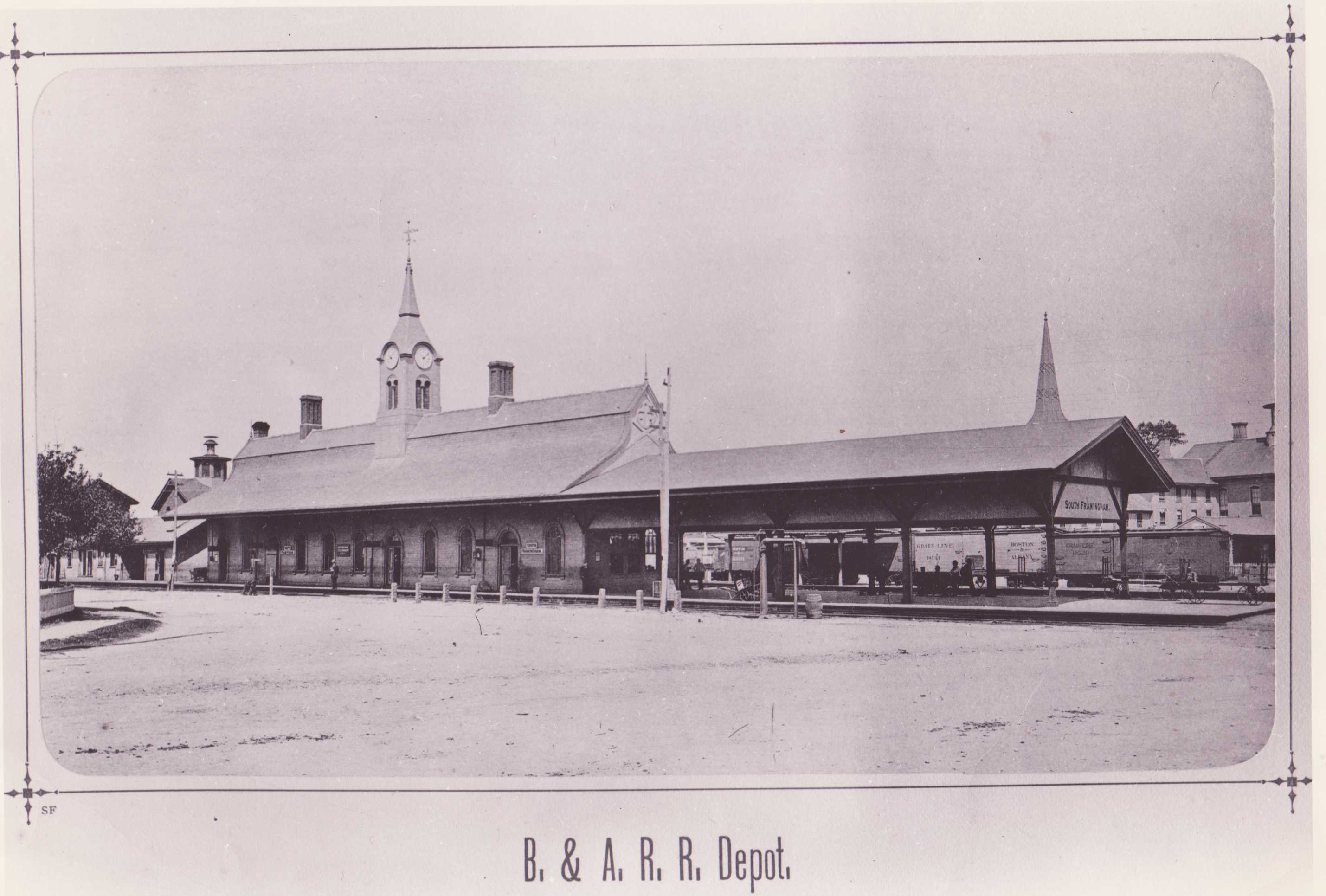
Framingham station is a historic Boston and Albany Railroad station located in downtown Framingham, Massachusetts. Designed by noted American architect H. H. Richardson, it was one of the last of the railroad stations he designed in the northeastern United States to be built. The station, built in 1884–85, served as a major stop on the B&A Main Line as well as a hub for branch lines to Milford, Mansfield, Fitchburg, and Lowell. After years of deterioration, the station was listed on the National Register of Historic Places in 1975 as the Framingham Railroad Station, and restored a decade later. In 2001, MBTA Framingham/Worcester Line and Amtrak operations were shifted to a new set of platforms nearby, which have high-level sections for handicapped-accessible boarding and a footbridge for crossing the tracks. This new station is among the busiest on the MBTA system, with 41 daily MBTA and 2 Amtrak trains on weekdays. The H. H. Richardson-designed station building remains large ... [...More Info...] [...Related Items...] OR: [Wikipedia] [Google] [Baidu] |
Massachusetts Route 135
Route 135 is a east-west state highway in eastern Massachusetts. The western terminus is at U.S. Route 20 in Northborough and the eastern terminus is at I-95 and Route 128 in Dedham. The first of the Boston Marathon, from Hopkinton to Wellesley, follow Route 135. Route description Route 135 begins at US 20 in Northborough. The route initially follows a southeasterly path, interchanging with Route 9 approximately from its beginning. Continuing into Westborough, Route 135 meets Route 30 at a rotary. The highway continues southeast, crossing underneath Interstate 90 and Interstate 495, but interchanging with neither. The route enters Hopkinton, and turns northeast at an intersection with West Main Street, which provides nearby access to I-495. Route 135 crosses Route 85 just to the east, then continues through Ashland and into Framingham. In downtown Framingham, Route 135 crosses Route 126. Route 135 continues into Natick and crosses Route 27 in the center of town. The ... [...More Info...] [...Related Items...] OR: [Wikipedia] [Google] [Baidu] |
Ashland, Massachusetts
Ashland is a town in Middlesex County, Massachusetts, United States. It is part of the MetroWest region. The population was 18,832 at the 2020 United States Census. History The area now known as Ashland was settled in the early 18th century and inhabited prior to that by the Megunko Native Americans, to which Megunko Hill owes its name. Previously known as "Unionville", Ashland was incorporated in 1846, bearing the name of statesman Henry Clay's Kentucky estate. It is considerably younger than many of the surrounding towns, as Ashland's territory was taken in near-equal parts from the previously established towns of Hopkinton, Holliston (previously of colonial era Sherborn's territory), and Framingham. The construction of the Boston & Worcester Railroad, later the Boston & Albany, in the 1830s was key to the early development of the town. Decades later, two other rail lines opened stations in Ashland. Along with the Sudbury River, the railroad helped to attract numerous mills ... [...More Info...] [...Related Items...] OR: [Wikipedia] [Google] [Baidu] |
Massachusetts Route 16
Route 16 is a east–west state highway in Massachusetts. It begins in the west at an intersection with Route 12 and Route 193 in Webster, just north of the Connecticut state border. It runs in a generally southwest-northeast routing through a number of Boston's suburbs and runs to the west and then north of the city before ending in Revere at an intersection with Route 1A and Route 60. Much of Route 16 east of the Newton- Wellesley town line, and especially from Cambridge eastward, is a multi-lane parkway, although it is not limited access for any significant length of road. Segments of Route 16 are also known as the Mystic Valley Parkway, the Alewife Brook Parkway, and the Revere Beach Parkway, among other names. From the western end of the Route 135 concurrency in Wellesley to Route 30 (Commonwealth Avenue) in Newton, the route serves as a part of the Boston Marathon, from the halfway point to just before Mile 18 and the hills. Route description Webster to Milford R ... [...More Info...] [...Related Items...] OR: [Wikipedia] [Google] [Baidu] |


