|
Route 11 (Uruguay)
Route 11 is a national route of Uruguay. In 1983, it was assigned the name José Batlle y Ordóñez; and in the last stretch it bears the name Ing. Eladio Dieste. It connects Atlántida to Ecilda Paullier Ecilda Paullier is a small town in the San José Department of southern Uruguay. Geography The town is located in the west part of the department, on Route 1, at the junction with Route 11, northwest of Montevideo. The stream Arroyo Cufré .... References Roads in Uruguay {{Uruguay-road-stub ... [...More Info...] [...Related Items...] OR: [Wikipedia] [Google] [Baidu] |
National Routes Of Uruguay
The National Routes of Uruguay (officially in Spanish, ''Rutas nacionales de Uruguay'') are the most important transport routes in the country, linking all locations. It has a network of 8,698 km of which 303 km are with concrete, asphalt 3,164 km, 4,220 km bituminous and 1,009 km rough. Route numbers Types of routes The Ministry of Transport and Public Works classifies Uruguayan Routes as ''Corredor Internacional'', Primary Network (''Red Primaria''), Secondary Network (''Red Secundaria'') and Tertiary Network (''Red Terciaria''). Corredor Internacional Pathways linking Montevideo with the main points of departure from Uruguay. * Route 1, all the way. * Route 2,all the way. * Route 3, all the way. * Route 5, all the way. * Route 8, from the beginning of Montevideo Montevideo () is the Capital city, capital and List of cities in Uruguay, largest city of Uruguay. According to the 2011 census, the city proper has a population of 1,319,108 (about one-third of the cou ... [...More Info...] [...Related Items...] OR: [Wikipedia] [Google] [Baidu] |
Uruguay
Uruguay (; ), officially the Oriental Republic of Uruguay ( es, República Oriental del Uruguay), is a country in South America. It shares borders with Argentina to its west and southwest and Brazil to its north and northeast; while bordering the Río de la Plata to the south and the Atlantic Ocean to the southeast. It is part of the Southern Cone region of South America. Uruguay covers an area of approximately and has a population of an estimated 3.4 million, of whom around 2 million live in the metropolitan area of its capital and largest city, Montevideo. The area that became Uruguay was first inhabited by groups of hunter–gatherers 13,000 years ago. The predominant tribe at the moment of the arrival of Europeans was the Charrúa people, when the Portuguese first established Colónia do Sacramento in 1680; Uruguay was colonized by Europeans late relative to neighboring countries. The Spanish founded Montevideo as a military stronghold in the early 18th century bec ... [...More Info...] [...Related Items...] OR: [Wikipedia] [Google] [Baidu] |
José Batlle Y Ordóñez
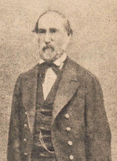
José Pablo Torcuato Batlle y Ordóñez ( or ; 23 May 1856 in Montevideo, Uruguay – 20 October 1929), nicknamed ''Don Pepe'', was a prominent Uruguayan politician, who served two terms as President of Uruguay for the Colorado Party. He was the son of a former president and was widely praised for his introduction of his political system, Batllism, to South America and for his role in modernizing Uruguay through his creation of extensive welfare state reforms. In 1898, he served as interim president for a few weeks. He was later elected to the presidency for two terms: from 1903 to 1907 and from 1911 to 1915. He remains one of the most popular Uruguayan presidents, mainly due to his role as a social reformer. Influenced by Krausist liberalism, he is known for introducing unemployment compensation, universal suffrage and the eight-hour workday, as well as free high school education. He was one of the main promoters of Uruguayan secularization, which leaded to the division o ... [...More Info...] [...Related Items...] OR: [Wikipedia] [Google] [Baidu] |
Eladio Dieste
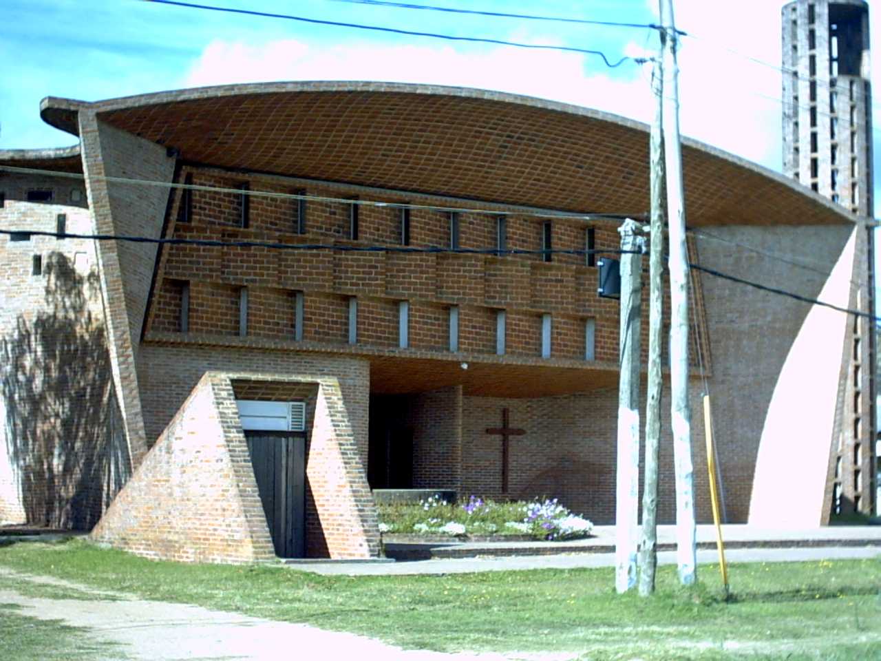
Eladio Dieste (December 1, 1917 – July 29, 2000) was a Uruguayan engineer who made his reputation by building a range of structures from grain silos, factory sheds, markets and churches, most of them in Uruguay and all of exceptional elegance. Biography Dieste was born in Artigas department. His uncle was the Spanish poet Rafael Dieste. A particular innovation was his Gaussian vault, a thin-shell structure for roofs in single-thickness brick, that derives its stiffness and strength from a double curvature catenary arch form that resists buckling failure. There were several architects and engineers in South and Latin America who were working in the modernist language, such as Guillermo Gonzalez Zuleta in Colombia, Carlos Raúl Villanueva in Venezuela and Félix Candela in Mexico, who brought architecture and structural engineering into close proximity, especially when undertaking humble commissions. His buildings were mostly roofed with thin shell vaults constructed of ... [...More Info...] [...Related Items...] OR: [Wikipedia] [Google] [Baidu] |
Atlántida, Uruguay
Atlántida is a resort town of the Costa de Oro in Canelones Department of Uruguay, east of Montevideo. Atlántida is also the name of the municipality to which the town belongs and which includes a few more resort towns to the north and to the west of the town, i.e. Estación Atlántida, City Golf, Villa Argentina, Fortín de Santa Rosa and rural areas to their north. Location The resort is located on Ruta Interbalnearia, near the junction with Route 11. History Atlántida started in the beginning of the 20th century as a resort for the elite class of Montevideo and remained so until the mid-1950s. Today it is mainly a middle class resort with more than 10,000 permanent inhabitants. The first plans of a resort in the area were drawn in 1911 and in the next year the parcelling and selling of plots began. In 1913 the Hotel Las Toscas was built near the beach, which in 1915 took on its actual name, Atlántida. The development accelerated from 1939 onwards, when Natalio Michelizzi ... [...More Info...] [...Related Items...] OR: [Wikipedia] [Google] [Baidu] |
Ecilda Paullier
Ecilda Paullier is a small town in the San José Department of southern Uruguay. Geography The town is located in the west part of the department, on Route 1, at the junction with Route 11, northwest of Montevideo. The stream Arroyo Cufré flows west of the city. History It was founded as "Santa Ecilda" on 16 May 1883. On 6 April 1911, it was renamed as "Ecilda Paullier" and declared a "Pueblo" (village) by the Act of Ley N° 3.748. Previously, it had been the head of the judicial section "Pavón". On 17 November 1964, its status was elevated to "Villa" (town) by the Act of Ley N° 13.299. Population In 2011 Ecilda Paullier had a population of 2,585. Source: ''Instituto Nacional de Estadística de Uruguay'' Places of worship * Sacred Heart of Jesus Parish Church (Roman Catholic Roman or Romans most often refers to: *Rome, the capital city of Italy * Ancient Rome, Roman civilization from 8th century BC to 5th century AD * Roman people, the people of ancient Rome *'' ... [...More Info...] [...Related Items...] OR: [Wikipedia] [Google] [Baidu] |

