|
Rio Grande Trail
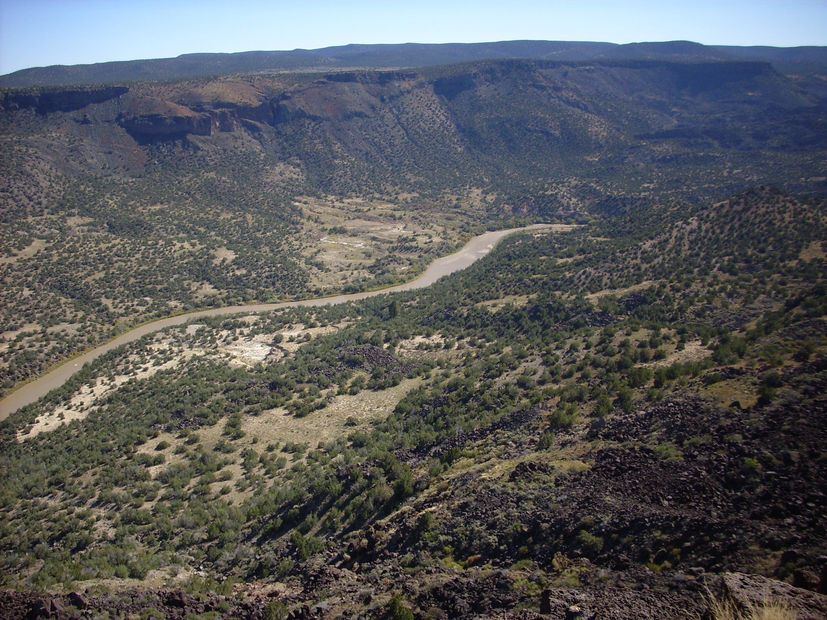
The Rio Grande Trail is a proposed long distance trail along the Rio Grande in the U.S. state of New Mexico. The river extends over 1,800 total miles, some of which pass through the heart of New Mexico. It is the state's primary drainage feature and most valuable natural and cultural resource. The river and its bosque provide a wide variety of recreation, including hunting and fishing, birdwatching, river rafting, hiking, biking, and horseback riding. The river also flows through or beside numerous spectacular and geologically interesting landforms, the result of extensive volcanism and erosion of the valley within the Rio Grande Rift. Although some trail advocates would like to see the trail extended the full distance through New Mexico, from the Colorado border to the United States–Mexico border, the portion proposed for initial development extends , from Bernalillo south to Las Cruces. History Governor Bill Richardson and New Mexico State Parks proposed the establishm ... [...More Info...] [...Related Items...] OR: [Wikipedia] [Google] [Baidu] |
Albuquerque
Albuquerque ( ; ), ; kee, Arawageeki; tow, Vakêêke; zun, Alo:ke:k'ya; apj, Gołgéeki'yé. abbreviated ABQ, is the most populous city in the U.S. state of New Mexico. Its nicknames, The Duke City and Burque, both reference its founding in 1706 as ''La Villa de Alburquerque'' by Nuevo México governor Francisco Cuervo y Valdés''.'' Named in honor of the Viceroy of New Spain, the 10th Duke of Alburquerque, the city was an outpost on El Camino Real linking Mexico City to the northernmost territories of New Spain. Located in the Albuquerque Basin, the city is flanked by the Sandia Mountains to the east and the West Mesa to the west, with the Rio Grande and bosque flowing from north-to-south. According to the 2020 census, Albuquerque had 564,559 residents, making it the 32nd-most populous city in the United States and the fourth largest in the Southwest. It is the principal city of the Albuquerque metropolitan area, which had 916,528 residents as of July 2020, an ... [...More Info...] [...Related Items...] OR: [Wikipedia] [Google] [Baidu] |
Pojoaque, New Mexico
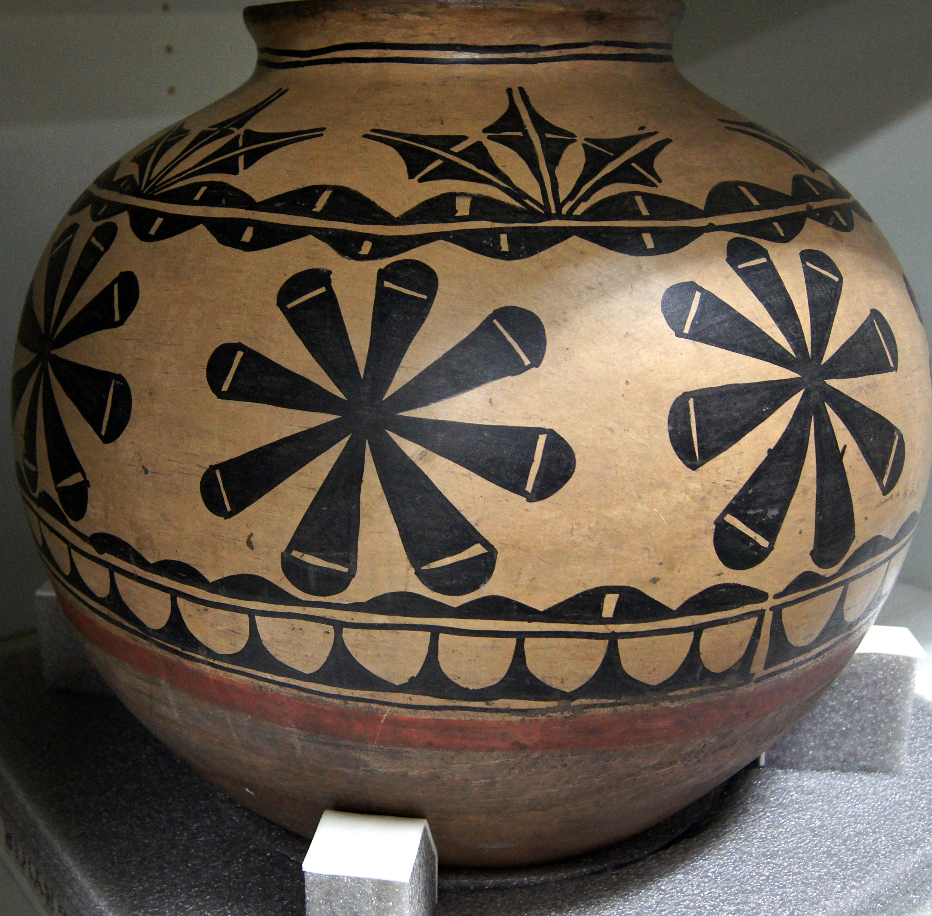
Pojoaque (; Tewa: Pʼohsųwæ̨geh Ówîngeh/P'osuwaege Owingeh ’òhsũ̀wæ̃̀gè ʔówîŋgè, Po’su wae geh, which translates to “water gathering place”, is a census-designated place (CDP) in Santa Fe County, New Mexico, United States. It is part of the Santa Fe, New Mexico Metropolitan Statistical Area. The population was 1,907 at the 2010 census. Pojoaque Pueblo, a neighboring community, is an Indian Reservation, and the town of Pojoaque is a collection of communities near the pueblo with people from various ethnic backgrounds. The area of Pojoaque includes the neighborhoods of Cuyamungue, Jacona, Jaconita, Nambé and El Rancho. History Pojoaque In the early 17th century, the first Spanish mission, San Francisco de Pojoaque was founded. During the Pueblo Revolt of 1680, Pojoaque was abandoned, and was not resettled until ''circa'' 1706. By 1712, the population had reached 79. During the revolt of 1837, New Mexico native Manuel Armijo defeated the rebels at Pue ... [...More Info...] [...Related Items...] OR: [Wikipedia] [Google] [Baidu] |
NM 502
New Mexico State Road 502 (NM 502) is a state highway in New Mexico, United States of America. It is notable as the main access route to Los Alamos National Laboratory (LANL), Bandelier National Monument, Valles Caldera National Preserve, Jemez Mountains, and town of Los Alamos. Route description The route is paved for its entire length, in contrast to some other state highways in northern New Mexico. NM 502 begins at its western terminus at NM 501 and heads due east through Los Alamos as Trinity Drive. It also begins as a four-lane road heading through town. As it exits town, it narrows down to two lanes and it then passes by the Los Alamos Airport, running parallel with its runway. It then reaches a junction with NM 4 at an interchange before continuing east with five lanes through the spectacular canyon/mesa country of the Pajarito Plateau. The highway then reaches another junction with NM 30 that goes north to Santa Clara Pueblo and Española. The route becomes a ... [...More Info...] [...Related Items...] OR: [Wikipedia] [Google] [Baidu] |
Cochiti Lake Shoreline
Cochiti (; Keresan languages, Eastern Keresan: Kotyit [kʰocʰi̥tʰ] – "Forgotten", Navajo: ''Tǫ́ʼgaaʼ'') is a census-designated place (CDP) in Sandoval County, New Mexico, Sandoval County, New Mexico, United States. A historic pueblo of the Cochiti people, it is part of the Albuquerque, New Mexico, Albuquerque Albuquerque metropolitan area, Metropolitan Statistical Area. The population was 528 at the 2010 United States Census, 2010 census. Located 22 miles (35 km) southwest of Santa Fe, New Mexico, Santa Fe, the community is listed as a historic district (United States), historic district on the National Register of Historic Places. Geography According to the United States Census Bureau, the CDP has a total area of , all land. Demographics At the 2010 census, there were 528 people, 157 households and 127 ''families'' residing in the CDP. The population density was 440 per square mile (169.9/km). There were 178 housing units at an average density of 149.9 per square mi ... [...More Info...] [...Related Items...] OR: [Wikipedia] [Google] [Baidu] |
Caja Del Rio
Caja del Rio (Spanish: "box of the river") is a dissected plateau, of volcanic origin, which covers approximately 84,000 acres of land in northern Santa Fe County, New Mexico, United States. The region is also known as the Caja, Caja del Rio Plateau, and Cerros del Rio. The center of the area is approximately 15 miles (23 km) west of Santa Fe, New Mexico. Most of the Caja is owned by the United States Forest Service and managed by the Santa Fe National Forest. Access is through New Mexico Highway 599, Santa Fe County Road 62, and Forest Service Road 24. Geography The landscape of the Caja del Rio Plateau is generally flat to rolling terrain, with numerous steep cones rising up to 800 feet above the plains. The highest points in the immediate area are the unnamed high point (7,472 feet), Cerro Micho (7,326 feet), Montoso Peak (7,315 feet), Ortiz Mountain (7,188 feet), and Cerro Rito (7,296 feet) The entire plateau is within the watershed of the Rio Grande; portions of the C ... [...More Info...] [...Related Items...] OR: [Wikipedia] [Google] [Baidu] |
Santa Fe National Forest
The Santa Fe National Forest is a protected United States National Forest, national forest in northern New Mexico in the Southwestern United States. It was established in 1915 and covers . Elevations range from 5,300 feet (1600 m) to 13,103 feet (4000 m) at the summit of Truchas Peak, located within the Pecos Wilderness. The Jemez, Coyote, and Cuba districts are located in the Jemez Mountains; the Pecos/Las Vegas district is located in the Sangre de Cristo Mountains; and the Española district is located in both mountain ranges. In descending order of land area the forest lies in parts of Rio Arriba County, New Mexico, Rio Arriba, San Miguel County, New Mexico, San Miguel, Sandoval County, New Mexico, Sandoval, Santa Fe County, New Mexico, Santa Fe, Mora County, New Mexico, Mora, and Los Alamos County, New Mexico, Los Alamos counties. Forest headquarters are located in the city of Santa Fe, New Mexico, Santa Fe. Santa Fe National Forest was established on July 1, 1915 by ... [...More Info...] [...Related Items...] OR: [Wikipedia] [Google] [Baidu] |
Arroyo (creek)
An arroyo (; from Spanish arroyo , "brook"), also called a wash, is a dry stream, creek, stream bed or gulch that temporarily or seasonally fills and flows after sufficient rain. Flash floods are common in arroyos following thunderstorms. ''Wadi'' (Arabic) is used in North Africa and Western Asia for similar landforms. The desert dry wash biome is restricted to the arroyos of the southwestern United States. Arroyos provide a water source to desert animals. Types and processes Arroyos can be natural fluvial landforms or constructed flood control channels. The term usually applies to a Grade (slope), sloped or mountainous terrain in xeric and desert climates. In addition: in many rural communities arroyos are also the principal transportation routes; and in many urban communities arroyos are also parks and recreational locations, often with linear multi-use bicycle, pedestrian, and equestrian trails. Flash flooding can cause the deep arroyos or deposition of sediment on flo ... [...More Info...] [...Related Items...] OR: [Wikipedia] [Google] [Baidu] |
Denver And Rio Grande Western Railroad
The Denver & Rio Grande Western Railroad , often shortened to ''Rio Grande'', D&RG or D&RGW, formerly the Denver & Rio Grande Railroad, was an American Class I railroad company. The railroad started as a narrow-gauge line running south from Denver, Colorado, in 1870. It served mainly as a transcontinental bridge line between Denver, and Salt Lake City, Utah. The Rio Grande was also a major origin of coal and mineral traffic. The Rio Grande was the epitome of mountain railroading, with a motto of ''Through the Rockies, not around them'' and later ''Main line through the Rockies'', both referring to the Rocky Mountains. The D&RGW operated the highest mainline rail line in the United States, over the Tennessee Pass in Colorado, and the famed routes through the Moffat Tunnel and the Royal Gorge. At its height, in 1889, the D&RGW had the largest narrow-gauge railroad network in North America with of track interconnecting the states of Colorado, New Mexico, and Utah. Known for ... [...More Info...] [...Related Items...] OR: [Wikipedia] [Google] [Baidu] |
Chili Line
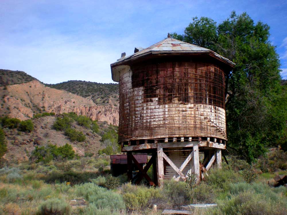
The Chili Line, officially known as the Santa Fe Branch, was a narrow-gauge branch of the Denver and Rio Grande Western Railroad (D&RGW). It ran from Antonito, Colorado, to Santa Fe, New Mexico. The Denver and Rio Grande Railway (D&RG) began construction of the line in 1880 and completed the line from Antonito to Española, New Mexico, but could not build any further because of an agreement with the Atchison, Topeka and Santa Fe Railroad (AT&SF). The Texas, Santa Fe and Northern Railroad was incorporated to complete the line, and the line between Española and Santa Fe opened in 1886 and was transferred to the Denver and Rio Grande shortly thereafter. The D&RGW closed the Chili Line in 1941 because of competition from road transportation, and the line was abandoned shortly thereafter. Name The Chili Line was officially known as the Santa Fe Branch. Its nickname has been attributed to its freight, which prominently featured New Mexico chile peppers, and to the gastronomy of its ... [...More Info...] [...Related Items...] OR: [Wikipedia] [Google] [Baidu] |
Right-of-way (transportation)
A right-of-way (ROW) is a right to make a way over a piece of land, usually to and from another piece of land. A right of way is a type of easement granted or reserved over the land for transportation purposes, such as a highway, public footpath, rail transport, canal, as well as electrical transmission lines, oil and gas pipelines. In the case of an easement, it may revert to its original owners if the facility is abandoned. This American English term is also used to denote the land itself. A right of way is granted or reserved over the land for transportation purposes, usually for private access to private land and, historically for a highway, public footpath, rail transport, canal, as well as electrical transmission lines, oil and gas pipelines.Henry Campbell Black: ''Right-of-way.'' In''A law dictionary containing definitions of the terms and phrases of American and English jurisprudence, ancient and modern: and including the principal terms of international, constitutio ... [...More Info...] [...Related Items...] OR: [Wikipedia] [Google] [Baidu] |
Acequia
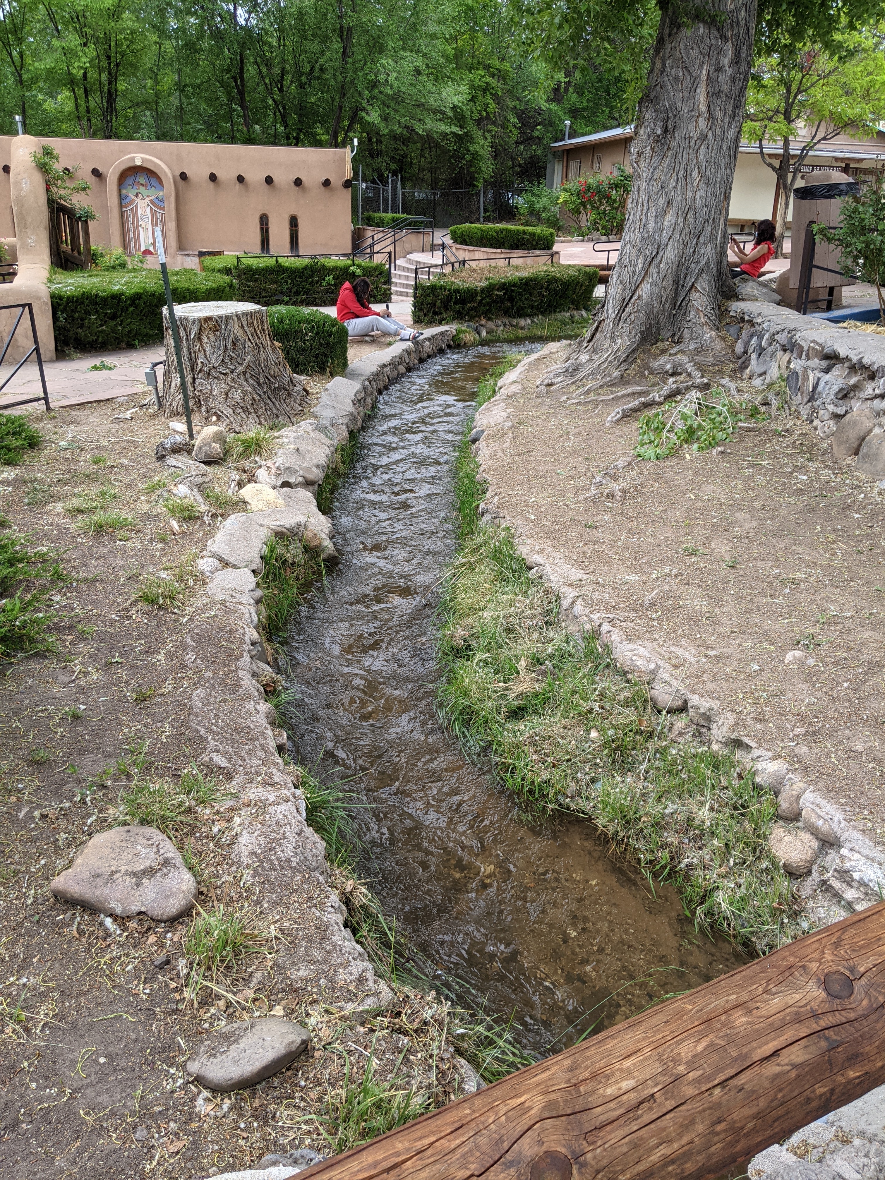
An acequia () or séquia () is a community-operated watercourse used in Spain and former Spanish colonies in the Americas for irrigation. Particularly in Spain, the Andes, northern Mexico, and the modern-day American Southwest particularly northern New Mexico and southern Colorado, acequias are usually historically engineered canals that carry snow runoff or river water to distant fields. Examples of acequias in New Mexico have lengthy historical roots to Pueblo and Hispano communities, and they are incorporated into traditions including the matachines, life in the Rio Grande Bosque of the Albuquerque metropolitan area, and pilgrimages to El Santuario de Chimayo. The term can also refer to the long central pool in a Moorish garden, such as the Generalife in the Alhambra in Southern Iberia. Overview The Spanish word (and Catalan ) comes from Classical Arabic , which has the double meaning of 'the water conduit' or 'one that bears water' and the 'barmaid' (from , 'to g ... [...More Info...] [...Related Items...] OR: [Wikipedia] [Google] [Baidu] |
.png)


