|
Rimrock Area, South Dakota
The Rimrock Area is a suburban area of Rapid City, South Dakota located along South Dakota Highway 44 and Rapid Creek in the eastern Black Hills, between Rapid City and US-385. The area consists of a series of rural residential areas, subdivisions of various sizes, and old towns, including: * Dark Canyon, South Dakota * Big Bend, South Dakota * Hisega, South Dakota (sometimes divided into Upper and Lower Hisega) * Johnson Siding, South Dakota * Placerville, South Dakota The area has been a suburb of Rapid City since the construction of the Black Hills and Western Railroad in the late 19th century, built along Rapid Creek between Rapid City and Mystic, South Dakota to connect to the Black Hills Highline. Today, an estimated 15,000 people live year-round in the area, most of whom work in Rapid City. The area includes a number of minor tourist attractions, including Black Hills Caverns (formerly Wildcat Cave), Crystal Cave (formerly Nameless Cave), Thunderhead Falls, and Rapid C ... [...More Info...] [...Related Items...] OR: [Wikipedia] [Google] [Baidu] |
Rapid City, South Dakota
Rapid City ( lkt, link=no, Mni Lúzahaŋ Otȟúŋwahe; "Swift Water City") is the second most populous city in South Dakota and the county seat of Pennington County. Named after Rapid Creek, where the settlement developed, it is in western South Dakota, on the Black Hills' eastern slope. The population was 74,703 as of the 2020 Census. Known as the "Gateway to the Black Hills" and the "City of Presidents" because of the life-size bronze president statues downtown, Rapid City is split by a low mountain ridge that divides the city's western and eastern parts. Ellsworth Air Force Base is on the city's outskirts. Camp Rapid, part of the South Dakota Army National Guard, is in the city's western part. Rapid City is home to such attractions as Art Alley, Dinosaur Park, the City of Presidents walking tour, Chapel in the Hills, Storybook Island, and Main Street Square. The historic "Old West" town of Deadwood is nearby. In the neighboring Black Hills are the tourist attractions ... [...More Info...] [...Related Items...] OR: [Wikipedia] [Google] [Baidu] |
South Dakota Highway 44
South Dakota Highway 44 (SD 44) is a state highway in southern South Dakota that runs from U.S. Route 385 (US 385) west of Rapid City to Interstate 29 (I-29) south of Sioux Falls. It is just more than long. Route description SD 44 begins at a junction with US 385 and heads along a curvy road in a general southeasterly direction through the Black Hills National Forest. It curves to the east and leaves the forest, then bends back to the southeast and clips the northeastern corner of the forest before leaving it permanently and entering Rapid City, where it is known as Jackson Boulevard. In the western outskirts of Rapid City, the highway curves to the northeast and passes north of Canyon Lake before crossing Rapid Creek. The road passes near several city parks before turning due north onto Mountain View Road and crossing Main Street, which holds the Interstate 90 Business (I-90 Bus.) designation. A block north of here, SD 44 turns east onto Omaha Street an ... [...More Info...] [...Related Items...] OR: [Wikipedia] [Google] [Baidu] |
Rapid Creek (South Dakota)
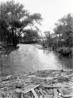
Rapid Creek is a tributary of the Cheyenne River, approximately 86 mi (138 km) long, in South Dakota in the United States. The creek's name comes from the Sioux Indians of the area, for the many rapids in the stream. Course It rises in southwestern South Dakota, in the Black Hills National Forest in the Black Hills in Pennington County. It flows east, is joined by Castle Creek, past Silver City and through the Pactola Reservoir. Emerging from the Black Hills, it flows through Rapid City, past Farmingdale, and joins the Cheyenne River approximately 13 mi (21 km) southwest of Wasta. 1972 flood The Rapid Creek is most noted for the Black Hills flood of 1972, in which 238 people perished in Rapid City and in the Black Hills. Since the flood, a flood plain has been established throughout the city making development along the banks inconsiderable. See also *List of rivers of South Dakota This is a list of rivers in the state of South Dakota in the Un ... [...More Info...] [...Related Items...] OR: [Wikipedia] [Google] [Baidu] |
Black Hills
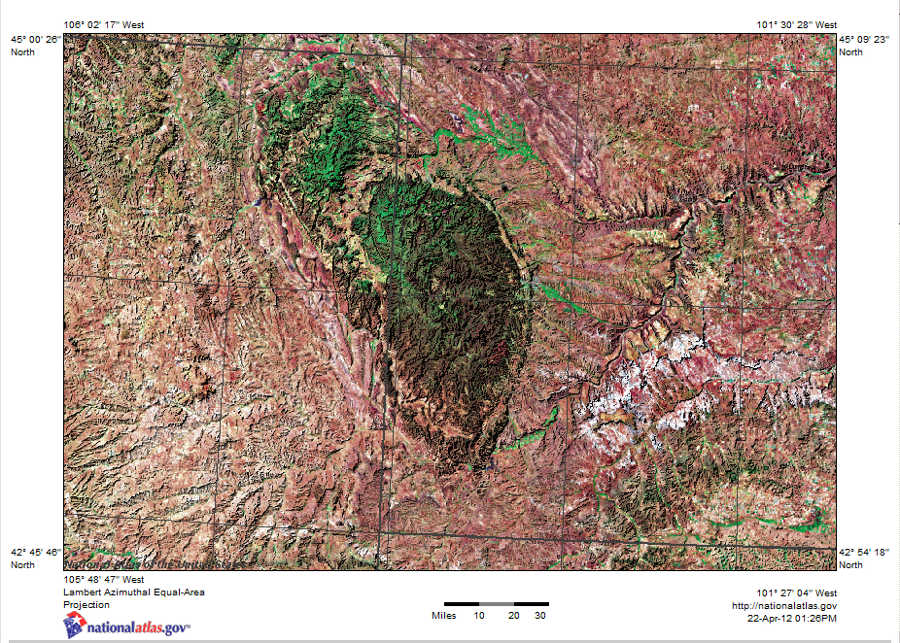
The Black Hills ( lkt, Ȟe Sápa; chy, Moʼȯhta-voʼhonáaeva; hid, awaxaawi shiibisha) is an isolated mountain range rising from the Great Plains of North America in western South Dakota and extending into Wyoming, United States. Black Elk Peak (formerly known as Harney Peak), which rises to , is the range's highest summit. The Black Hills encompass the Black Hills National Forest. The name of the hills in Lakota is ', meaning “the heart of everything that is." The Black Hills are considered a holy site. The hills are so called because of their dark appearance from a distance, as they are covered in evergreen trees. Native Americans have a long history in the Black Hills and consider it a sacred site. After conquering the Cheyenne in 1776, the Lakota took the territory of the Black Hills, which became central to their culture. In 1868, the U.S. government signed the Fort Laramie Treaty of 1868, establishing the Great Sioux Reservation west of the Missouri River, and exempt ... [...More Info...] [...Related Items...] OR: [Wikipedia] [Google] [Baidu] |
Dark Canyon, South Dakota
Darkness, the direct opposite of lightness, is defined as a lack of illumination, an absence of visible light, or a surface that absorbs light, such as black or brown. Human vision is unable to distinguish colors in conditions of very low luminance. This is because the hue sensitive photoreceptor cells on the retina are inactive when light levels are insufficient, in the range of visual perception referred to as scotopic vision. The emotional response to darkness has generated metaphorical usages of the term in many cultures, often used to describe an unhappy or foreboding feeling. Referring to a time of day, complete darkness occurs when the Sun is more than 18° below the horizon, without the effects of twilight on the night sky. Scientific Perception The perception of darkness differs from the mere absence of light due to the effects of after images on perception. In perceiving, the eye is active, and the part of the retina that is unstimulated produces a complemen ... [...More Info...] [...Related Items...] OR: [Wikipedia] [Google] [Baidu] |
Big Bend, South Dakota
Big or BIG may refer to: * Big, of great size or degree Film and television * ''Big'' (film), a 1988 fantasy-comedy film starring Tom Hanks * ''Big!'', a Discovery Channel television show * ''Richard Hammond's Big'', a television show presented by Richard Hammond * ''Big'' (TV series), a 2012 South Korean TV series * ''Banana Island Ghost'', a 2017 fantasy action comedy film Music * '' Big: the musical'', a 1996 musical based on the film * Big Records, a record label * ''Big'' (album), a 2007 album by Macy Gray * "Big" (Dead Letter Circus song) * "Big" (Sneaky Sound System song) * "Big" (Rita Ora and Imanbek song) * "Big", a 1990 song by New Fast Automatic Daffodils * "Big", a 2021 song by Jade Eagleson from ''Honkytonk Revival'' *The Notorious B.I.G., an American rapper Places * Allen Army Airfield (IATA code), Alaska, US * BIG, a VOR navigational beacon at London Biggin Hill Airport * Big River (other), various rivers (and other things) * Big Island (disambigua ... [...More Info...] [...Related Items...] OR: [Wikipedia] [Google] [Baidu] |
Hisega, South Dakota
Hisega is an unincorporated community in Pennington County, in the U.S. state of South Dakota South Dakota (; Sioux language, Sioux: , ) is a U.S. state in the West North Central states, North Central region of the United States. It is also part of the Great Plains. South Dakota is named after the Lakota people, Lakota and Dakota peo .... History A post office called Hisega was established in 1913, and remained in operation until 1945. The post office may have operated during the summer season only. Hisega is an acronym formed from the names of these local women: Helen, Ida, Sadie, Ethel, Grace, and Ada. References Unincorporated communities in Pennington County, South Dakota Unincorporated communities in South Dakota {{SouthDakota-geo-stub ... [...More Info...] [...Related Items...] OR: [Wikipedia] [Google] [Baidu] |
Johnson Siding, South Dakota
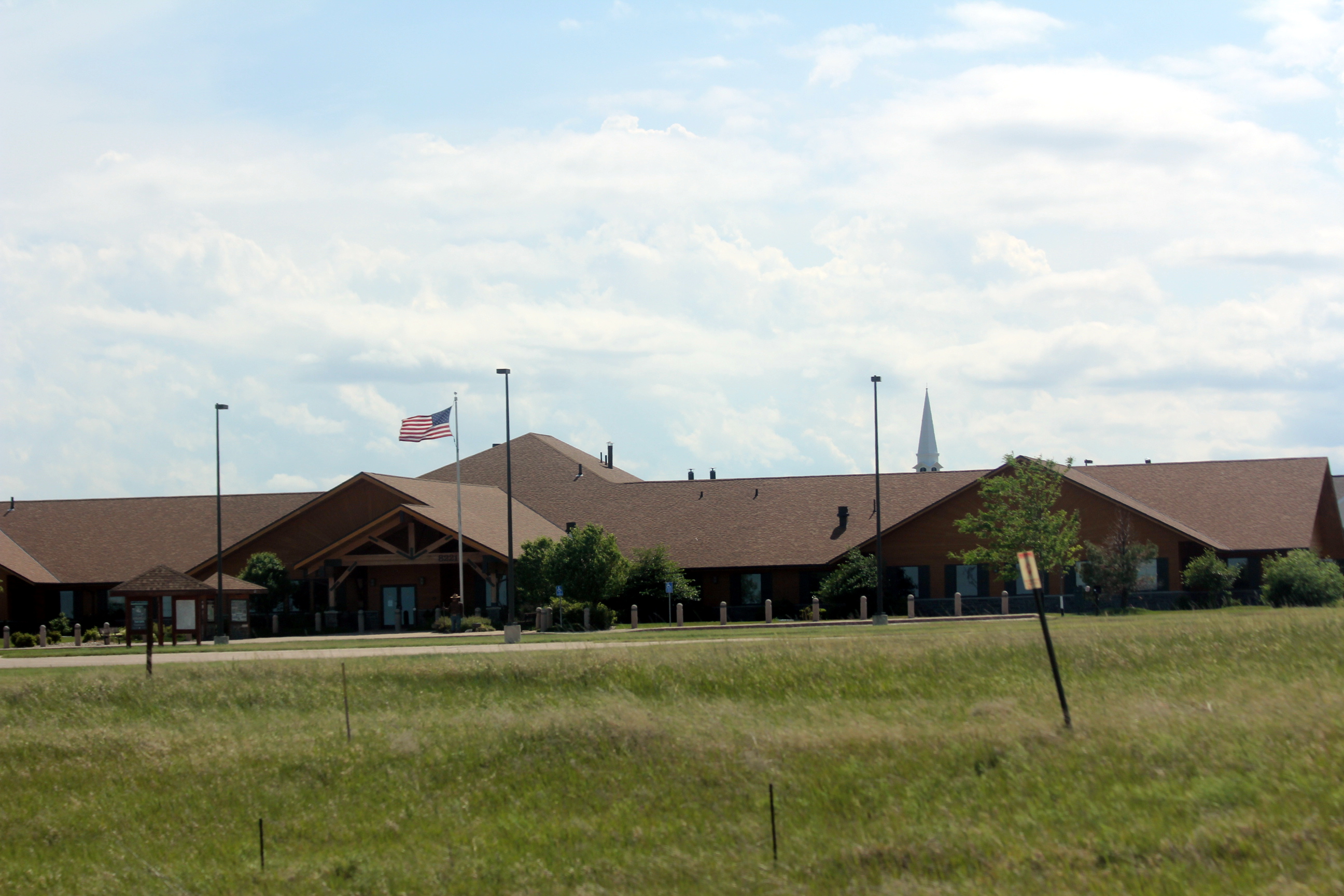
Johnson Siding is an unincorporated community in Pennington County, South Dakota, United States. The population as of the 2020 census was 614. It is located in the Rimrock Area, approximately 10 miles west of Rapid City. Johnson Siding is surrounded by the Black Hills National Forest. It is the only significant business district in the Rimrock Area, with a gas station/general store, deli, casino, tavern, the Johnson Siding Volunteer Fire Department firehouse, the Rimrock Evangelical Free Church meetinghouse, and a community center. However, most inhabitants work in Rapid City or Deadwood. Johnson Siding is named for a siding on the old Rapid City, Black Hills and Western Railroad (the Crouch Line) which ran up Rapid Creek between Rapid City and the Black Hills Highline at Mystic, which was originally constructed to serve the Johnson Sawmill, located a short distance upstream from the existing town. Many bikers attending the Sturgis Motorcycle Rally traditionally make at least ... [...More Info...] [...Related Items...] OR: [Wikipedia] [Google] [Baidu] |
Black Hills And Western Railroad
The Rapid City, Black Hills and Western Railroad, also known simply as the Black Hills and Western Railroad and commonly referred to as the Rapid Canyon Line or the Crouch Line, is a defunct standard gauge rail freight transport, freight railroad line that operated in the Black Hills in the U.S. state of South Dakota. The railroad became known throughout the area for its crookedness and later became a tourist attraction. It ran from Rapid City, South Dakota, Rapid City to Mystic for a distance of 36.043 miles. The railroad ceased operations in 1947. Naming Though the official name is the Rapid City, Black Hills and Western Railroad, many sources refer to it as simply the Black Hills and Western Railroad. It is also called the Crouch Line, in honor of its founder, C.D. Crouch. Through the years, the line's name varied as it switched owners. These names were as follows: Dakota & Wyoming Railroad; Missouri River & North Western Railroad; Dakota, Western & Missouri River Railroad; Dak ... [...More Info...] [...Related Items...] OR: [Wikipedia] [Google] [Baidu] |
Mystic, South Dakota
Mystic is an unincorporated community in Pennington County, in the U.S. state of South Dakota South Dakota (; Sioux language, Sioux: , ) is a U.S. state in the West North Central states, North Central region of the United States. It is also part of the Great Plains. South Dakota is named after the Lakota people, Lakota and Dakota peo .... History A post office called Mystic was established in 1895, and remained in operation until 1954. It was supposed that the local Native Americans believed the surrounding area to be full of mystery, hence the name. A former variant name was Sitting Bull. References Unincorporated communities in Pennington County, South Dakota Unincorporated communities in South Dakota {{SouthDakota-geo-stub ... [...More Info...] [...Related Items...] OR: [Wikipedia] [Google] [Baidu] |
Black Hills Highline
Black is a color which results from the absence or complete absorption of visible light. It is an achromatic color, without hue, like white and grey. It is often used symbolically or figuratively to represent darkness. Black and white have often been used to describe opposites such as good and evil, the Dark Ages versus Age of Enlightenment, and night versus day. Since the Middle Ages, black has been the symbolic color of solemnity and authority, and for this reason it is still commonly worn by judges and magistrates. Black was one of the first colors used by artists in Neolithic cave paintings. It was used in ancient Egypt and Greece as the color of the underworld. In the Roman Empire, it became the color of mourning, and over the centuries it was frequently associated with death, evil, witches, and magic. In the 14th century, it was worn by royalty, clergy, judges, and government officials in much of Europe. It became the color worn by English romantic poets, businessmen ... [...More Info...] [...Related Items...] OR: [Wikipedia] [Google] [Baidu] |


