|
Region 2, Northwest Territories
Region 2 is the name of a Statistics Canada census division, one of six in the Northwest Territories, Canada. It was introduced in the 2011 census, along with Regions 1, 3, 4, 5 and 6, resulting in the abolition of the former census divisions of Fort Smith Region and Inuvik Region (the latter not to be confused with the modern-day administrative region of the same name). Unlike in some other provinces, census divisions do not reflect the organization of local government in the Northwest Territories. These areas exist solely for the purposes of statistical analysis and presentation; they have no government of their own. Its territorial extent coincides very closely with the Sahtu Region administrative region. The 2011 census reported a population of 2,341 and a land area of . Main languages in the Region include English (71.6%) and Slavey (25.9%) Demographics In the 2021 Census of Population conducted by Statistics Canada, Region 2 of the Northwest Territories had a popu ... [...More Info...] [...Related Items...] OR: [Wikipedia] [Google] [Baidu] |
Statistics Canada
Statistics Canada (StatCan; french: Statistique Canada), formed in 1971, is the agency of the Government of Canada commissioned with producing statistics to help better understand Canada, its population, resources, economy, society, and culture. It is headquartered in Ottawa.Statistics Canada, 150 Tunney's Pasture Driveway Ottawa, Ontario K1A 0T6; Statistique Canada 150, promenade du pré Tunney Ottawa, Ontario K1A 0T6 The agency is led by the chief statistician of Canada, currently Anil Arora, who assumed the role on September 19, 2016. StatCan is responsible to Parliament through the Minister of Innovation, Science and Industry, currently François-Philippe Champagne. Statistics Canada acts as the national statistical agency for Canada, and Statistics Canada produces statistics for all the provinces as well as the federal government. In addition to conducting about 350 active surveys on virtually all aspects of Canadian life, the '' Statistics Act'' mandates that Statistic ... [...More Info...] [...Related Items...] OR: [Wikipedia] [Google] [Baidu] |
English Language
English is a West Germanic language of the Indo-European language family, with its earliest forms spoken by the inhabitants of early medieval England. It is named after the Angles, one of the ancient Germanic peoples that migrated to the island of Great Britain. Existing on a dialect continuum with Scots, and then closest related to the Low Saxon and Frisian languages, English is genealogically West Germanic. However, its vocabulary is also distinctively influenced by dialects of France (about 29% of Modern English words) and Latin (also about 29%), plus some grammar and a small amount of core vocabulary influenced by Old Norse (a North Germanic language). Speakers of English are called Anglophones. The earliest forms of English, collectively known as Old English, evolved from a group of West Germanic (Ingvaeonic) dialects brought to Great Britain by Anglo-Saxon settlers in the 5th century and further mutated by Norse-speaking Viking settlers starting in the 8th and 9th ... [...More Info...] [...Related Items...] OR: [Wikipedia] [Google] [Baidu] |
Fort Good Hope
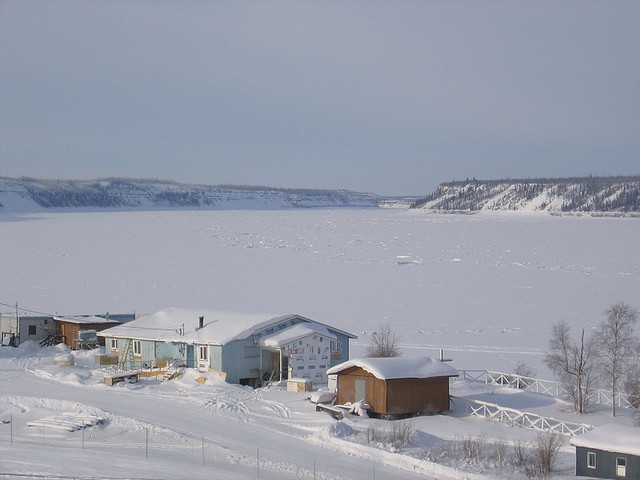
Fort Good Hope (formerly ''Fort Hope'', ''Fort Charles'', also now known as the ''Charter Community of K'asho Got'ine''), is a charter community in the Sahtu Region of the Northwest Territories, Canada. It is located on a peninsula between Jackfish Creek and the east bank of the Mackenzie River, about northwest of Norman Wells. The two principal languages are North Slavey and English. Hunting and trapping are two major sources of income. The Church of Our Lady of Good Hope, a National Historic Site, is located in the community. The church, completed in 1885, was once home to Father Émile Petitot. History The settlement was established as a North West Company fur trading outpost in 1804 (or 1805). It was known mainly as Fort Good Hope, but also as Fort Hope and Fort Charles (not the same as the HBC fort from 1686) The outpost was relocated several times from the current site; between 1804 to before 1823 somewhere between Arctic Red River and Peel River (by NWC and HBC) ... [...More Info...] [...Related Items...] OR: [Wikipedia] [Google] [Baidu] |
Tulita
Tulita, which in Slavey means "where the rivers or waters meet," is a hamlet in the Sahtu Region of the Northwest Territories, Canada. It was formerly known as ''Fort Norman'', until 1 January 1996. It is located at the junction of the Great Bear River and the Mackenzie River; the Bear originates at Great Bear Lake adjacent to Deline. Tulita is in an area that is forested and well south of the tree line. Permafrost underlays the area, more or less continuous in distribution. Tulita is surrounded by mountains, the latter renowned for Dall sheep, and faces the Mackenzie Mountains to the west, which has mountain goats. History Fort Norman originated as a Hudson's Bay Company trading post in the 19th century and has occupied a number of geographical locations prior to the settling of the modern community. A post by the name of Fort Norman occupied several locations, on the Mackenzie River, on the islands within it, on Bear River, and on the shore of Great Bear Lake near the pres ... [...More Info...] [...Related Items...] OR: [Wikipedia] [Google] [Baidu] |
Norman Wells
Norman Wells ( Slavey language: ''Tłegǫ́hłı̨'' "where there is oil") is a town located in the Sahtu Region, Northwest Territories, Canada, settled about 140 km (87 mi) south of the Arctic Circle. The town, which hosts the Sahtu Regional office, is situated on the north side of the Mackenzie River and provides a view down the valley of the Franklin and Richardson mountains. Demographics In the 2021 Census of Population conducted by Statistics Canada, Norman Wells had a population of living in of its total private dwellings, a change of from its 2016 population of . With a land area of , it had a population density of in 2021. A total of 315 people identified as Indigenous, and of these, 195 were First Nations, 80 were Métis, 15 were Inuit and 20 gave multiple Indigenous responses. The main languages in the town are North Slavey and English. Of the population, 78.1% is 15 and older, with the median age being 32.8, slightly less than the NWT averages of 79.3% and 3 ... [...More Info...] [...Related Items...] OR: [Wikipedia] [Google] [Baidu] |
2021 Canadian Census
The 2021 Canadian census was a detailed enumeration of the Canadian population with a reference date of May 11, 2021. It follows the 2016 Canadian census, which recorded a population of 35,151,728. The overall response rate was 98%, which is slightly lower than the response rate for the 2016 census. It recorded a population of 36,991,981, a 5.2% increase from 2016. Planning Consultation on census program content was from September 11 to December 8, 2017. The census was conducted by Statistics Canada, and was contactless as a result of the COVID-19 pandemic in Canada. The agency had considered delaying the census until 2022. About 900 supervisors and 31,000 field enumerators were hired to conduct the door-to-door survey of individuals and households who had not completed the census questionnaire by late May or early June. Canvassing agents wore masks and maintained a physical distance to comply with COVID-19 safety regulations. Questionnaire In early May 2021, Statistics Can ... [...More Info...] [...Related Items...] OR: [Wikipedia] [Google] [Baidu] |
Slavey Language
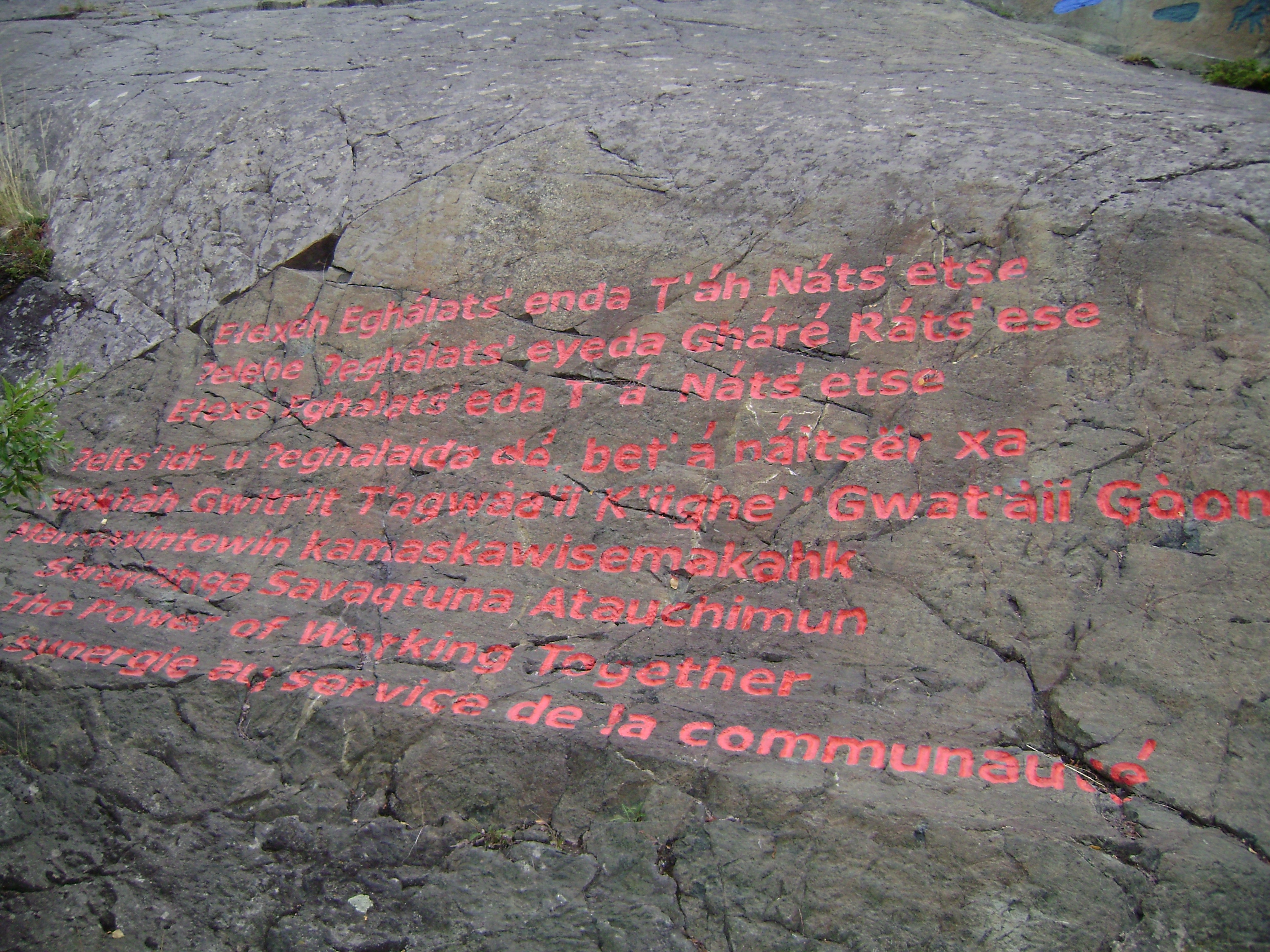
Slavey (; also Slave, Slavé) is a group of Athabaskan languages and a dialect continuum spoken amongst the Dene peoples of Canada in the Northwest Territories – or central Denendeh – where it also has official status.Northwest Territories Official Languages Act, 1988 (as amended 1988, 1991-1992, 2003) The languages are primarily written using a modified , with some using Canadian Aboriginal syllabics. In their own languages, these languages are referred to as: Sahtúgot’įné Yatı̨́ (spoken by the [...More Info...] [...Related Items...] OR: [Wikipedia] [Google] [Baidu] |
Sahtu Region
The Sahtu Region is an administrative region in Canada's Northwest Territories. Coterminous with the settlement region described in the 1993 Sahtu Dene and Metis Comprehensive Land Claim Agreement, of the Sahtu is collectively owned by its Indigenous Sahtu (Dene) and Métis inhabitants. Although the region's population is predominantly First Nations, a significant non-Indigenous presence exists in Norman Wells, the regional office, established in 1920 to serve the only producing oilfield in the Canadian Territories. Considered to be of vital strategic importance during World War II in the event of a Japanese invasion of Alaska, the region's petroleum resources were exploited by the United States Army with the Canol pipeline, but the project never became necessary and ultimately operated for less than one year. Since the abandonment of the Canol project, development within the region has been more limited than in the rest of the territory. Although plans have long existed for p ... [...More Info...] [...Related Items...] OR: [Wikipedia] [Google] [Baidu] |
Census Geographic Units Of Canada
The census geographic units of Canada are the census subdivisions defined and used by Canada's federal government statistics bureau Statistics Canada to conduct the country's quinquennial census. These areas exist solely for the purposes of statistical analysis and presentation; they have no government of their own. They exist on four levels: the top-level (first-level) divisions are Canada's provinces and territories; these are divided into second-level census divisions, which in turn are divided into third-level census subdivisions (often corresponding to municipalities) and fourth-level dissemination areas. In some provinces, census divisions correspond to the province's second-level administrative divisions such as a county or another similar unit of political organization. In the prairie provinces, census divisions do not correspond to the province's administrative divisions, but rather group multiple administrative divisions together. In Newfoundland and Labrador, the bou ... [...More Info...] [...Related Items...] OR: [Wikipedia] [Google] [Baidu] |
Inuvik Region
The Inuvik Region or ''Beaufort Delta Region'' is one of five administrative regions in the Northwest Territories of Canada. According to Municipal and Community Affairs the region consists of eight communities with the regional office situated in Inuvik. Most of the communities are in the Beaufort Sea area and are a mixture of Inuit (Inuvialuit) and First Nations (mostly Gwich'in). Formerly, there was also a Statistics Canada designated census division named Inuvik Region, Northwest Territories The Inuvik Region or ''Beaufort Delta Region'' is one of five administrative regions in the Northwest Territories of Canada. According to Municipal and Community Affairs the region consists of eight communities with the regional office situat ..., which was abolished in the 2011 Canadian Census. The territorial extent of this census division was somewhat larger than the administrative region of the same name. Administrative Region communities The Inuvik Region administrative e ... [...More Info...] [...Related Items...] OR: [Wikipedia] [Google] [Baidu] |
Inuvik Region, Northwest Territories (former Census Division)
Inuvik Region was a former Statistics Canada census division, one of two in the Northwest Territories, Canada. It was abolished in the 2011 census, along with the other census division of Fort Smith Region, and the land area of the Northwest Territories was divided into new census divisions named Region 1, Region 2, Region 3, Region 4, Region 5, Region 6. It is not to be confused with the modern-day Inuvik Region administrative region, which is smaller. The administrative region coincides territorially with modern-day census division Region 1; the census division included all of the modern-day Region 1 as well as a part of Region 2. For example, the border of the former Inuvik and Fort Smith census divisions ran through the middle of Great Bear Lake, but the lake is entirely outside of the Inuvik administrative region. The communities of Norman Wells, Colville Lake and Fort Good Hope were part of the census division, but not the administrative region. It comprised the nor ... [...More Info...] [...Related Items...] OR: [Wikipedia] [Google] [Baidu] |


