|
Redcliffe Bridge, Perth
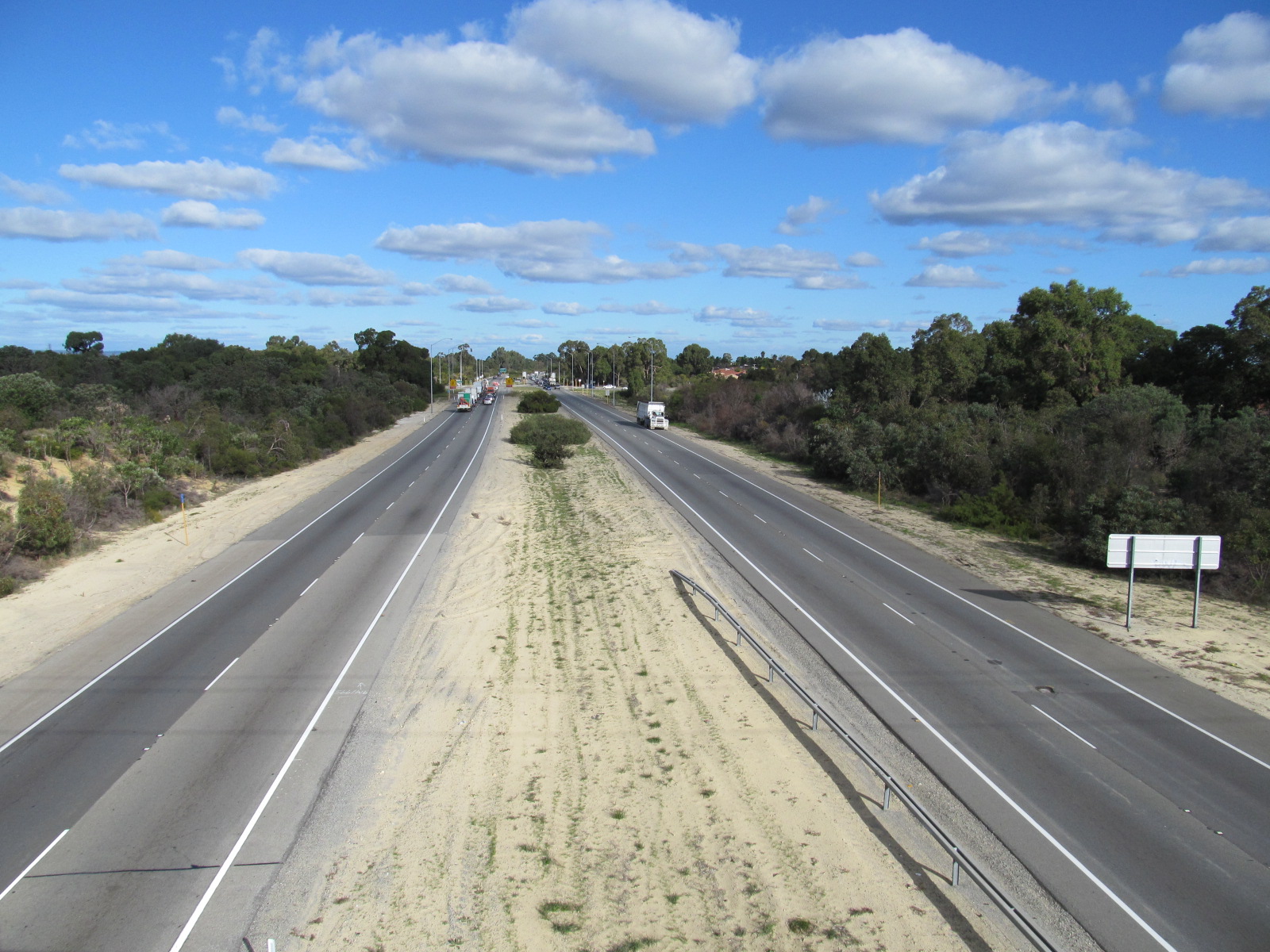
Redcliffe Bridge is a traffic bridge which carries Tonkin Highway across the Swan River, Western Australia, Swan River between the Perth suburbs of Ascot, Western Australia, Ascot and Bayswater, Western Australia, Bayswater. It is named after Redcliffe, Western Australia, Redcliffe, which is a nearby suburb. Designed by Maunsell & Partners and built by Thiess Pty Ltd, Thiess Contractors, construction of the bridge started in 1986. The bridge was constructed using an incremental launch technique, and cost Australian dollar, A$15 million to complete. It was officially opened on 16 April 1988. The bridge is long, with five spans and a pre-stressed concrete deck wide, supporting six lanes of traffic. The structure of the bridge is that of a hollow box girder, with the outer sides of the deck supported by special Y-Beam (structure), beams. References External links * Road bridges in Perth, Western Australia Swan River (Western Australia) Redcliffe, Western Australia B ... [...More Info...] [...Related Items...] OR: [Wikipedia] [Google] [Baidu] |
Redcliffe Bridge, Perth 3
Redcliffe may refer to: Places England *Redcliffe, Bristol, a district of the city *Redcliffe College, a Bible college in Gloucester, England Queensland, Australia *Redcliffe Peninsula, a peninsula and suburban region in the Brisbane metropolitan area **Redcliffe Dolphins, a rugby league club **Redcliffe, Queensland, the central suburb of Redcliffe City **City of Redcliffe, the former Local Government covering Redcliffe **Electoral district of Redcliffe Western Australia *Redcliffe, Western Australia U.S.A. * Redcliffe Plantation State Historic Site, listed on the NRHP in South Carolina People * John Redcliffe-Maud (1906–1982), British civil servant and diplomat to South Africa, husband of Jean Redcliffe-Maud * Jean Redcliffe-Maud (1904–1993), British pianist and author, wife of John Redcliffe-Maud * Stratford Canning, 1st Viscount Stratford de Redcliffe (1786–1880), British diplomat, ambassador to the Ottoman Porte See also *Redcliff (other) *Radcliffe (d ... [...More Info...] [...Related Items...] OR: [Wikipedia] [Google] [Baidu] |
Tonkin Highway
Tonkin Highway is an north–south highway and partial freeway in Perth, Western Australia, linking Perth Airport and Kewdale with the city's north-eastern and south-eastern suburbs. As of April 2020, the northern terminus is at the interchange with Brand Highway and Great Northern Highway in Muchea, and the southern terminus is at Thomas Road in Oakford. It forms the entire length of State Route 4, and connects to several major roads. Besides Brand Highway and Great Northern Highway, it also connects to Reid Highway, Great Eastern Highway, Leach Highway, Roe Highway, and Albany Highway. Planning for the route began in the 1950s, but the first segment between Wattle Grove and Cloverdale was not opened until 1980. Over the next five years, the highway was extended north to Great Eastern Highway and south to Albany Highway, and a discontinuous section was constructed north of the Swan River. In 1988 the Redcliffe Bridge linked these sections, and three years later, Reid H ... [...More Info...] [...Related Items...] OR: [Wikipedia] [Google] [Baidu] |
Swan River, Western Australia
The Swan River () is a river in the south west of Western Australia. The river runs through the metropolitan area of Perth, Western Australia's capital and largest city. Course of river The Swan River estuary flows through the city of Perth. Its lower reaches are relatively wide and deep, with few constrictions, while the upper reaches are usually quite narrow and shallow. The Swan River drains the Avon and coastal plain catchments, which have a total area of about . It has three major tributaries, the Avon River, Canning River and Helena River. The latter two have dams (Canning Dam and Mundaring Weir) which provide a sizeable part of the potable water requirements for Perth and the regions surrounding. The Avon River contributes the majority of the freshwater flow. The climate of the catchment is Mediterranean, with mild wet winters, hot dry summers, and the associated highly seasonal rainfall and flow regime. The Avon rises near Yealering, southeast of Perth: it meand ... [...More Info...] [...Related Items...] OR: [Wikipedia] [Google] [Baidu] |
Perth
Perth is the capital and largest city of the Australian state of Western Australia. It is the fourth most populous city in Australia and Oceania, with a population of 2.1 million (80% of the state) living in Greater Perth in 2020. Perth is part of the South West Land Division of Western Australia, with most of the metropolitan area on the Swan Coastal Plain between the Indian Ocean and the Darling Scarp. The city has expanded outward from the original British settlements on the Swan River, upon which the city's central business district and port of Fremantle are situated. Perth is located on the traditional lands of the Whadjuk Noongar people, where Aboriginal Australians have lived for at least 45,000 years. Captain James Stirling founded Perth in 1829 as the administrative centre of the Swan River Colony. It was named after the city of Perth in Scotland, due to the influence of Stirling's patron Sir George Murray, who had connections with the area. It gained city statu ... [...More Info...] [...Related Items...] OR: [Wikipedia] [Google] [Baidu] |
Ascot, Western Australia
Ascot is a suburb of Perth, covering a narrow strip of land along the southern bank of the Swan River approximately east of the Perth central business district. Its local government area is the City of Belmont. The suburb, which was previously part of Belmont and Redcliffe, was officially established on 7 March 1991, with the boundaries being approved on 22 March 1991. It was named after the Ascot Racecourse, a major horse-racing track located within the suburb's boundaries. Geography The suburb is a narrow strip of about in length, extending along the Swan River's southern foreshore from Abernethy Road in Belmont to the City of Belmont's boundary with the City of Swan The City of Swan is a local government area of Western Australia. It is in the eastern metropolitan region of Perth and includes the Swan Valley and 42 suburbs. It is centred approximately 20 km north-east of the Perth central business d ... at South Guildford. See also * Ascot Brick Works * ... [...More Info...] [...Related Items...] OR: [Wikipedia] [Google] [Baidu] |
Bayswater, Western Australia
Bayswater is a suburb north-east of the central business district (CBD) of Perth, the capital of Western Australia. It is just north of the Swan River, within the City of Bayswater local government area. It is predominantly a low-density residential suburb consisting of single-family detached homes. However, there are several clusters of commercial buildings, most notably in the suburb's town centre, around the intersection of Whatley Crescent and King William Street and a light industrial area in the suburb's east. Prior to European settlement, the Mooro group of the Whadjuk Noongar people inhabited the area. In 1830, the year after the European settlement of the Swan River Colony, land along the river was divided between the colonists, who moved in soon after. Most either died or left in the months following, leaving the area undeveloped for most of the 19th century. In 1881, the Fremantle–Guildford railway line was built, triggering the founding of the Bayswater Estate, ... [...More Info...] [...Related Items...] OR: [Wikipedia] [Google] [Baidu] |


