Ray, Templeport
   HOME
*


Ray, Templeport
Ray () is a townland in the civil parish of Templeport, County Cavan, Ireland. It lies in the Roman Catholic parish of Templeport and barony of Tullyhaw. Geography Ray is bounded on the north by Port, Templeport and Gortaclogher townlands, on the west by Killymoriarty townland, on the south by Porturlan and Rosehill, Templeport townlands and on the east by Cloneary townland. Its chief geographical features are Templeport Lough in the north of the townland, a small forestry plantation, stone quarries, a spring well, dug wells and a stream. Ray is traversed by minor roads, rural lanes and the disused Cavan and Leitrim Railway. The townland covers 144 statute acres. History In medieval times the McGovern barony of Tullyhaw was divided into economic taxation areas called ballibetoes, from the Irish ''Baile Biataigh'' (Anglicized as 'Ballybetagh'), meaning 'A Provisioner's Town or Settlement'. The original purpose was to enable the farmer, who controlled the baile, to provide hospi ...
[...More Info...]      
[...Related Items...]     OR:     [Wikipedia]   [Google]   [Baidu]  


picture info

Townland
A townland ( ga, baile fearainn; Ulster-Scots: ''toonlann'') is a small geographical division of land, historically and currently used in Ireland and in the Western Isles in Scotland, typically covering . The townland system is of Gaelic origin, pre-dating the Norman invasion, and most have names of Irish origin. However, some townland names and boundaries come from Norman manors, plantation divisions, or later creations of the Ordnance Survey.Connolly, S. J., ''The Oxford Companion to Irish History, page 577. Oxford University Press, 2002. ''Maxwell, Ian, ''How to Trace Your Irish Ancestors'', page 16. howtobooks, 2009. The total number of inhabited townlands in Ireland was 60,679 in 1911. The total number recognised by the Irish Place Names database as of 2014 was 61,098, including uninhabited townlands, mainly small islands. Background In Ireland a townland is generally the smallest administrative division of land, though a few large townlands are further divided into h ...
[...More Info...]      
[...Related Items...]     OR:     [Wikipedia]   [Google]   [Baidu]  


picture info

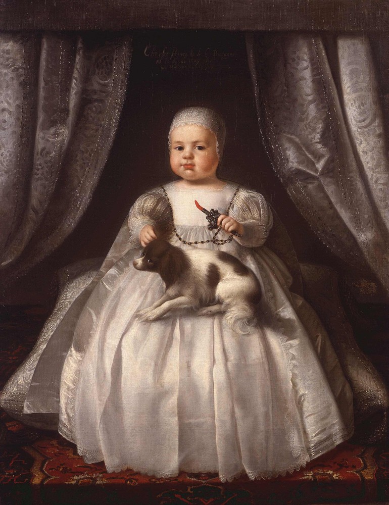
Charles II Of England
Charles II (29 May 1630 – 6 February 1685) was King of Scotland from 1649 until 1651, and King of England, Scotland and Ireland from the 1660 Restoration of the monarchy until his death in 1685. Charles II was the eldest surviving child of Charles I of England, Scotland and Ireland and Henrietta Maria of France. After Charles I's execution at Whitehall on 30 January 1649, at the climax of the English Civil War, the Parliament of Scotland proclaimed Charles II king on 5 February 1649. But England entered the period known as the English Interregnum or the English Commonwealth, and the country was a de facto republic led by Oliver Cromwell. Cromwell defeated Charles II at the Battle of Worcester on 3 September 1651, and Charles fled to mainland Europe. Cromwell became virtual dictator of England, Scotland and Ireland. Charles spent the next nine years in exile in France, the Dutch Republic and the Spanish Netherlands. The political crisis that followed Cromwell's death in 1 ...
[...More Info...]      
[...Related Items...]     OR:     [Wikipedia]   [Google]   [Baidu]  


Dúchas
Dúchas, sometimes Dúchas: The Heritage Service, was an executive agency of the Department of Arts, Heritage, Gaeltacht and the Islands of the Government of Ireland responsible for Heritage management, including: * natural heritage (including responsibility for the management of national parks and wildlife) * built heritage (including national monuments and historic properties). The agency was established under the Heritage Act 1995 and abolished in 2003 after coming under criticism for restricting development. Its status as an executive agency gave it no separate legal existence and it could be easily abolished without primary legislation, although the abolition was not without controversy. Natural heritage has since been protected by the National Parks and Wildlife Service (initially under the Department of the Environment, Heritage and Local Government). Some other functions, such as the protection of historic monuments, reverted to being part of the Office of Public Wor ...
[...More Info...]      
[...Related Items...]     OR:     [Wikipedia]   [Google]   [Baidu]  


Census Of Ireland, 1911
The 1911 Census of Ireland was the last census that covered the whole island of Ireland. Censuses were taken at ten-year intervals from 1821 onwards, but the 1921 census was cancelled due to the Irish War of Independence. The original records of the 1821 to 1851 censuses were destroyed by fire at the Four Courts in Dublin during the Irish Civil War, while those between 1861 and 1891 were possibly pulped during the First World War. All that remained were the 1901 and 1911 census, with the latter put online in 2009 by the National Archives of Ireland. Information collected The census information was recorded on the following forms: *Form A, which was completed by the head of the family *Forms B1, B2, and N, which were completed by the census enumerator Head of the family Form A, which was completed by the head of the family, contained the following information for each person in the home on the night of 2 April: *Name and Surname *Relation to Head of Family *Religious Professi ...
[...More Info...]      
[...Related Items...]     OR:     [Wikipedia]   [Google]   [Baidu]  


picture info

Census Of Ireland, 1901
A census is the procedure of systematically acquiring, recording and calculating information about the members of a given population. This term is used mostly in connection with national population and housing censuses; other common censuses include censuses of agriculture, traditional culture, business, supplies, and traffic censuses. The United Nations (UN) defines the essential features of population and housing censuses as "individual enumeration, universality within a defined territory, simultaneity and defined periodicity", and recommends that population censuses be taken at least every ten years. UN recommendations also cover census topics to be collected, official definitions, classifications and other useful information to co-ordinate international practices. The UN's Food and Agriculture Organization (FAO), in turn, defines the census of agriculture as "a statistical operation for collecting, processing and disseminating data on the structure of agriculture, covering th ...
[...More Info...]      
[...Related Items...]     OR:     [Wikipedia]   [Google]   [Baidu]  


Griffith's Valuation
Griffith's Valuation was a boundary and land valuation survey of Ireland completed in 1868. Griffith's background Richard John Griffith started to value land in Scotland, where he spent two years in 1806-1807 valuing terrain through the examination of its soils. He used 'the Scotch system of valuation' and it was a modified version of this that he introduced into Ireland when he assumed the position of Commissioner of Valuation. Tasks in Ireland In 1825 Griffith was appointed by the British Government to carry out a boundary survey of Ireland. He was to mark the boundaries of every county, barony, civil parish and townland in preparation for the first Ordnance Survey. He completed the boundary work in 1844. He was also called upon to assist in the preparation of a Parliamentary bill to provide for the general valuation of Ireland. This Act was passed in 1826, and he was appointed Commissioner of Valuation in 1827, but did not start work until 1830 when the new 6" maps, became av ...
[...More Info...]      
[...Related Items...]     OR:     [Wikipedia]   [Google]   [Baidu]  


picture info

Ballyconnell
Ballyconnell () is a town in County Cavan, Ireland. It is situated on the N87 national secondary road at the junction of four townlands: Annagh, Cullyleenan, Doon (Tomregan) and Derryginny in the parish of Tomregan, Barony of Tullyhaw. Ballyconnell won the Irish Tidy Towns Competition in 1971 and was also the winner in 1975. According to the 2016 Census, the population of the town was then 1,105 persons, an increase of 4% on the previous 2011 census. Name The earliest surviving mention of the name Ballyconnell is an entry in the ''Annals of the Four Masters'' for the year 1323 A.D., which states "''Rory Mac Mahon, son of the Lord of Oriel, Melaghlin O'Seagannain, and Mac Muldoon, were slain by Cathal O'Rourke at Bel-atha-Chonaill''". Before being named Ballyconnell it was named ''Maigen'' which means 'The Little Plain' with the local ford called which means 'Ford of the Miners'. It was also named Gwyllymsbrook between 1660 and 1702 by its then owner, Thomas Gwyllym. Ballyc ...
[...More Info...]      
[...Related Items...]     OR:     [Wikipedia]   [Google]   [Baidu]  


George Montgomery (MP)
George Leslie Montgomery (c. 1727 – March 1787) was an Irish politician. Montgomery sat as Member of Parliament (MP) for Strabane from 1765 to 1768. He purchased the seat from John McCausland of Strabane for £2,000 after the death of the incumbent Robert Lowry when a new writ was issued for the borough on 22 October 1765. Subsequently, he represented Cavan County in the Irish House of Commons from 1768 until his death in 1787. The Cavan poll result on 2 August 1768 was Maxwell 727, Montgomery 648, Pratt 570, Newburgh 402; The poll finally closed on 11 November 1768 and the final poll was Maxwell 927, Montgomery 739, Pratt 668, Newburgh 451. When the new Parliament met in 1769, Mervyn Pratt, the defeated candidate, petitioned against the election of Montgomery on grounds of bribery, corruption and undue influence. This petition was not finally determined owing to the premature prorogation of Parliament in December 1769, so Montgomery survived and continued to represent the ...
[...More Info...]      
[...Related Items...]     OR:     [Wikipedia]   [Google]   [Baidu]  


picture info

Cavan County
County Cavan ( ; gle, Contae an Chabháin) is a county in Ireland. It is in the province of Ulster and is part of the Border Region. It is named after the town of Cavan and is based on the historic Gaelic territory of East Breffny (''Bréifne''). Cavan County Council is the local authority for the county, which had a population of 76,176 at the 2016 census. Geography Cavan borders six counties: Leitrim to the west, Fermanagh and Monaghan to the north, Meath to the south-east, Longford to the south-west and Westmeath to the south. Cavan shares a border with County Fermanagh in Northern Ireland. Cavan is the 19th largest of the 32 counties in area and the 25th largest by population. The county is part of the Northern and Western Region, a NUTS II area, and in that region, is part of the Border strategic planning area, a NUTS III entity. The county is characterised by drumlin countryside dotted with many lakes and hills. The north-western area of the county is sparsely po ...
[...More Info...]      
[...Related Items...]     OR:     [Wikipedia]   [Google]   [Baidu]  


Member Of Parliament
A member of parliament (MP) is the representative in parliament of the people who live in their electoral district. In many countries with bicameral parliaments, this term refers only to members of the lower house since upper house members often have a different title. The terms congressman/congresswoman or deputy are equivalent terms used in other jurisdictions. The term parliamentarian is also sometimes used for members of parliament, but this may also be used to refer to unelected government officials with specific roles in a parliament and other expert advisers on parliamentary procedure such as the Senate Parliamentarian in the United States. The term is also used to the characteristic of performing the duties of a member of a legislature, for example: "The two party leaders often disagreed on issues, but both were excellent parliamentarians and cooperated to get many good things done." Members of parliament typically form parliamentary groups, sometimes called caucuse ...
[...More Info...]      
[...Related Items...]     OR:     [Wikipedia]   [Google]   [Baidu]  


Charles Coote, 1st Earl Of Bellomont
Charles Coote, 1st Earl of Bellomont KB PC(I) (6 April 1738 – 20 October 1800), was an Irish peer. He held a senior political position as one of the joint Postmasters General of Ireland. Charles was briefly styled as The 5th Baron Coote between February 1766 and his elevation to the earldom in September 1767. Life Charles was the son of Charles Coote MP (1695–1750) and Prudence Geering of Cootehill, County Cavan. He was born on 6 April 1738 and baptised six days later. He was educated at Trinity College, Dublin. Lord Bellomont, as he then was, was badly wounded while fighting a duel with The Viscount Townshend on 2 February 1773: Townshend shot him in the groin. The quarrel seems to have been political, as Townshend had been a highly unpopular Lord Lieutenant of Ireland. Coote was the representative for County Cavan in the Irish House of Commons from 1761–66. He succeeded as The 5th Baron Coote in February 1766, and was created Earl of Bellomont in September 1767. H ...
[...More Info...]      
[...Related Items...]     OR:     [Wikipedia]   [Google]   [Baidu]  


Brinsley Butler, 2nd Earl Of Lanesborough
Brinsley Butler, 2nd Earl of Lanesborough, PC (Ire) (4 March 1728 – 24 January 1779), styled The Honourable until 1756 and Lord Newtown-Butler from 1756 to 1768, was an Irish politician and peer. He was the son of Humphrey Butler, 1st Earl of Lanesborough and Mary Berry, daughter of Richard Berry. He succeeded his father as 2nd Earl of Lanesborough in 1768. From 1751 until 1768, he was a Member of Parliament (MP), or 'Knight of the Shire', for Cavan County in the Irish House of Commons, and was High Sheriff of Westmeath in 1763. He was educated at Trinity College, Dublin. As a Freemason, he was Deputy Grand Master of the Grand Lodge of Ireland from 1753 to 1756, and was elected Grand Master in 1757, a post he held until the next year. Family He married Lady Jane Rochfort, daughter of Robert Rochfort, 1st Earl of Belvedere and his second wife Mary Molesworth. Their children were : *Robert, 3rd Earl of Lanesborough *Augustus, father of George Butler-Danvers, 5th Earl ...
[...More Info...]      
[...Related Items...]     OR:     [Wikipedia]   [Google]   [Baidu]