|
Randolph (CDP), New York
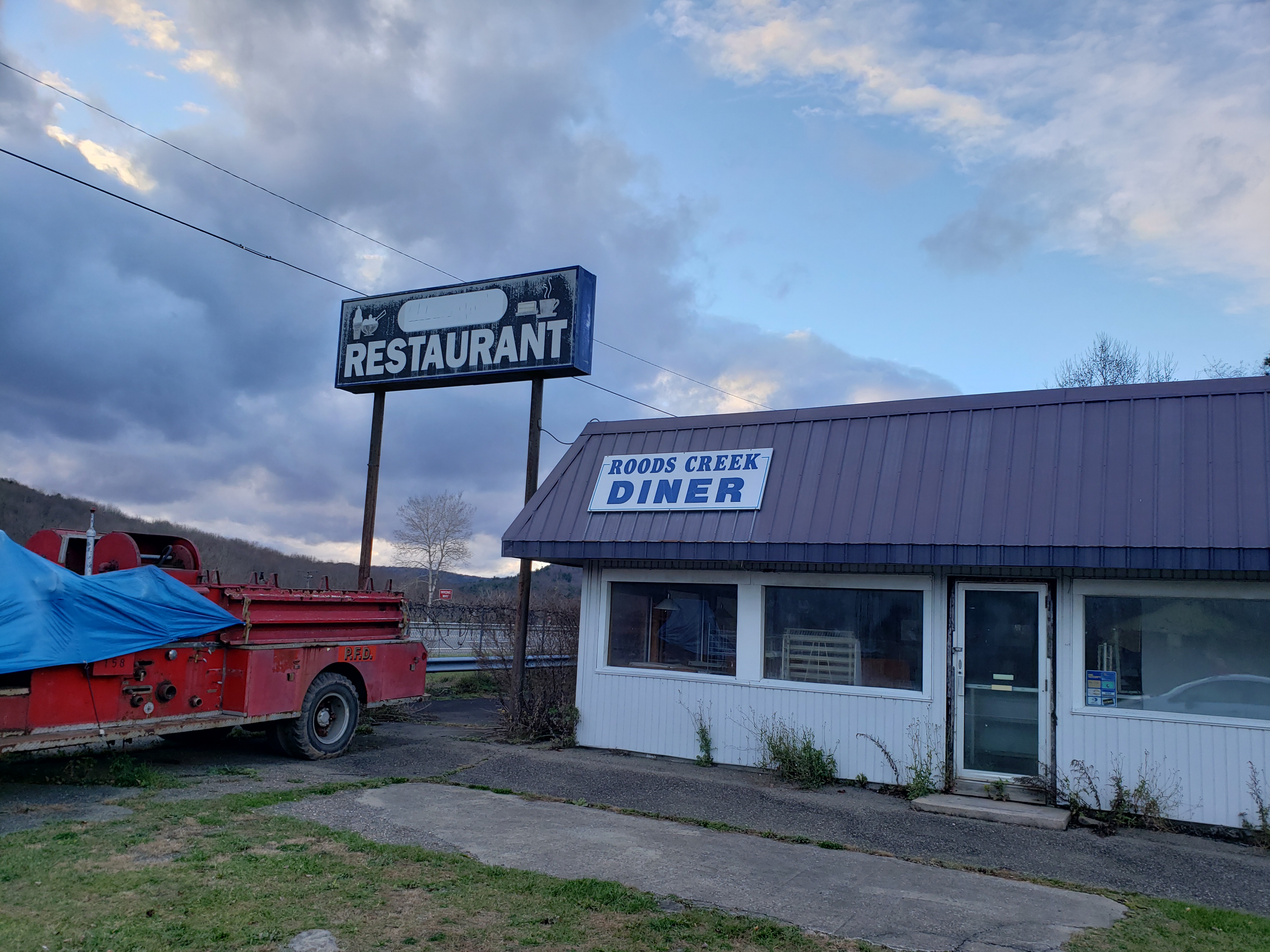
Randolph is a hamlet, census-designated place (CDP) and former village in Cattaraugus County, New York, United States. It is located within the town of Randolph. The population of the village was 1,286 at the 2010 census, out of 2,602 in the town as a whole. Randolph borders the community of East Randolph. History Randolph was the first location settled within the town, ''circa'' 1820. The village of Randolph was incorporated in 1867. Voters in the village approved the dissolution of the village into a hamlet within the town of Randolph on March 16, 2010, becoming one of four villages in the county to have approved a village dissolution plan within a six-month span. East Randolph and Perrysburg approved their dissolution plans on the same day; Limestone had done so in September 2009. At the time of dissolution, Howard MacLaughlin was mayor. Randolph was once the home of the Chamberlain Institute and Female College, a Methodist Methodism, also called the Methodist moveme ... [...More Info...] [...Related Items...] OR: [Wikipedia] [Google] [Baidu] |
Administrative Divisions Of New York
The administrative divisions of New York are the various units of government that provide local services in the State of New York. The state is divided into boroughs, counties, cities, townships called "towns", and villages. (The only boroughs, the five boroughs of New York City, have the same boundaries as their respective counties.) They are municipal corporations, chartered (created) by the New York State Legislature, as under the New York Constitution the only body that can create governmental units is the state. All of them have their own governments, sometimes with no paid employees, that provide local services. Centers of population that are not incorporated and have no government or local services are designated hamlets. Whether a municipality is defined as a borough, city, town, or village is determined not by population or land area, but rather on the form of government selected by the residents and approved by the New York Legislature. Each type of local government ... [...More Info...] [...Related Items...] OR: [Wikipedia] [Google] [Baidu] |
Limestone, New York
Limestone is a Hamlet (New York), hamlet (and census-designated place) in Cattaraugus County, New York, Cattaraugus County, New York (state), New York, United States. The population was 389 at the 2010 census. The former village lies in the southern part of the town of Carrollton, New York, Carrollton and is north of the city of Bradford, Pennsylvania. The name is said to derive from the rapid deterioration of some excavated skeletons, which quickly became white dust upon exposure to air. History The village of Limestone was Municipal corporation, incorporated in 1877. In 2008, 187 village residents signed a petition calling for the village's dissolution. It was predicted that as a result of dissolution, both village and town residents would see their taxes decrease, by four and 46 percent respectively. Additionally, the town would receive $750,000 in state aid. The village's incorporation was dissolved following the successful passage of a referendum on October 13, 2009; the di ... [...More Info...] [...Related Items...] OR: [Wikipedia] [Google] [Baidu] |
Allegheny River
The Allegheny River ( ) is a long headwater stream of the Ohio River in western Pennsylvania and New York (state), New York. The Allegheny River runs from its headwaters just below the middle of Pennsylvania's northern border northwesterly into New York then in a zigzag southwesterly across the border and through Western Pennsylvania to join the Monongahela River at the Forks of the Ohio on the "Point" of Point State Park in Downtown Pittsburgh, Pennsylvania. The Allegheny River is, by volume, the main headstream of both the Ohio and Mississippi Rivers. Historically, the Allegheny was considered to be the upper Ohio River by both Native Americans and European settlers. The shallow river has been made navigable upstream from Pittsburgh to East Brady, Pennsylvania, East Brady by a series of locks and dams constructed in the early 20th century. A 24-mile long portion of the upper river in Warren County, Pennsylvania, Warren and McKean County, Pennsylvania, McKean counties of Pennsy ... [...More Info...] [...Related Items...] OR: [Wikipedia] [Google] [Baidu] |
Conewango Creek
Conewango Creek is a tributary of the Allegheny River in Pennsylvania and western New York in the United States. The creek's drainage covers much of southeastern Chautauqua County, New York, and western Cattaraugus County, New York. The creek's most notable tributary is the Chadakoin River, which supplies the creek water from Chautauqua Lake. The Chautauqua Ridge, a continental divide bounds the watershed to the north and west. Course Conewango Creek begins at New Albion Lake in New Albion, New York and follows a meandering path around much of western Cattaraugus County. It joins with the Chadakoin River in Frewsburg, New York before heading southward into Pennsylvania. Conewango Creek joins the Allegheny River at the city of Warren, Pennsylvania. River modifications On September 26, 2009, an obsolete Civil War-era low head dam within the city of Warren on the Conewango Creek was removed. Removal of this dam allowed fish migration from the Allegheny River throughout th ... [...More Info...] [...Related Items...] OR: [Wikipedia] [Google] [Baidu] |
Jamestown, New York
Jamestown is a city in southern Chautauqua County, in the U.S. state of New York. The population was 28,712 at the 2020 census. Situated between Lake Erie to the north and the Allegheny National Forest to the south, Jamestown is the largest population center in the county. Nearby Chautauqua Lake is a freshwater resource used by fishermen, boaters, and naturalists. Notable people from Jamestown include legendary comedienne Lucille Ball, U.S. Supreme Court justice and Nuremberg chief prosecutor Robert H. Jackson, musician Natalie Merchant, musician Dennis Drew, musician John Lombardo, naturalist Roger Tory Peterson, and NFL Commissioner Roger Goodell. In the 20th century, Jamestown was a thriving industrial area, noted for producing several well-known products. They include the crescent wrench, produced by Karl Peterson's the Crescent Tool Company in Jamestown beginning in 1907. and the automatic lever voting machine, manufactured by the Automatic Voting Machine Company, w ... [...More Info...] [...Related Items...] OR: [Wikipedia] [Google] [Baidu] |
Salamanca (city), New York
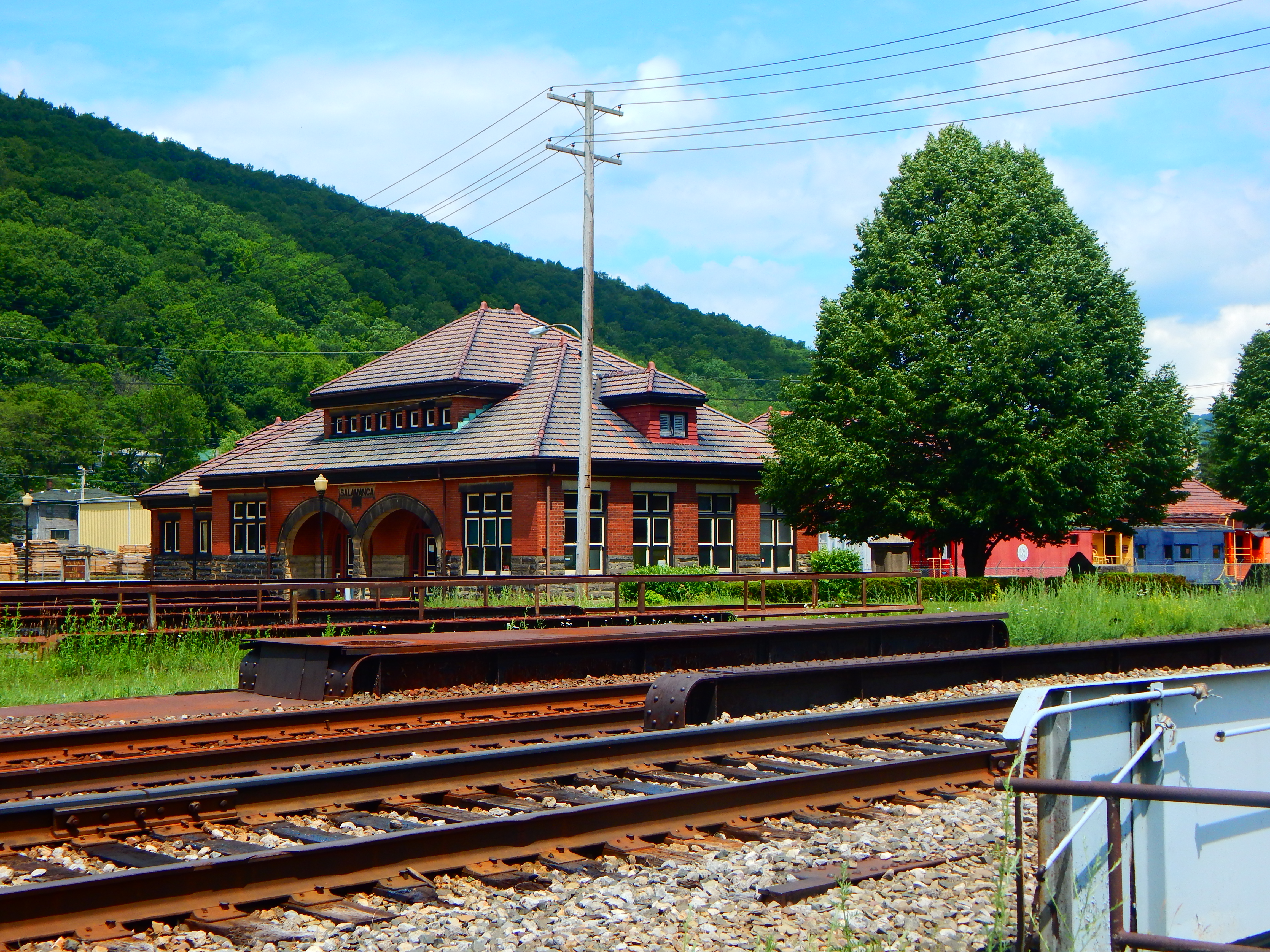
Salamanca (Seneca: ''Onë:dagö:h'') is a city in Cattaraugus County, New York, United States, inside the Allegany Indian Reservation, one of two governed by the Seneca Nation of New York. The population was 5,929 at the 2020 census. It was named after José de Salamanca, a Spanish nobleman and cabinet minister of the mid-19th century. Geography According to the United States Census Bureau, the city has an area of , of which is land and , or 3.88%, is water. Salamanca is within the Allegany Indian Reservation of the Seneca Nation of New York (one of the six tribes of the Iroquois Confederacy). The city population of about 5,900 is about 19% Native American; this does not include Seneca people living in the nearby hamlets of Jimerson Town (one of the two capitals of the nation) and Kill Buck. The city lies along the Allegheny River and is adjacent to Allegany State Park. Salamanca is one of the two cities in Cattaraugus County, the other being Olean. Climate History ... [...More Info...] [...Related Items...] OR: [Wikipedia] [Google] [Baidu] |
New York State Route 17
New York State Route 17 (NY 17) is a major state highway that extends for through the Southern Tier and Downstate regions of New York in the United States. It begins at the Pennsylvania state line in Mina and follows the Southern Tier Expressway east through Corning to Binghamton and the Quickway from Binghamton east to Woodbury, where it turns south to follow the Orange Turnpike to the New Jersey state line near Suffern, where it connects to New Jersey Route 17. From the Pennsylvania border to the village of Waverly and from Binghamton to Windsor, NY 17 is concurrent with Interstate 86 (I-86). Eventually, the entire east–west portion of NY 17 from the Pennsylvania border to Woodbury will become I-86 as projects to upgrade the route to Interstate Highway standards are completed. At , NY 17 is the longest state route in New York, and is the second-longest highway of any kind in the state, beside the Thruway. It serves 11 counties ( ... [...More Info...] [...Related Items...] OR: [Wikipedia] [Google] [Baidu] |
Interstate 86 (Pennsylvania–New York)
Interstate 86 (I-86) is an Interstate Highway that extends for through northwestern Pennsylvania and the Southern Tier region of New York, in the United States. The highway has two segments: the longer of the two begins at an interchange with I-90 east of Erie, Pennsylvania, and ends just beyond the Chemung- Tioga county line at the Pennsylvania border, while the second extends from I-81 east of Binghamton to New York State Route 79 (NY 79) in Windsor. When projects to upgrade the existing NY 17 to Interstate Highway standards are completed, I-86 will extend from I-90 near Erie to the New York State Thruway ( I-87) in Woodbury. The portion in Erie County, Pennsylvania, is known as the Hopkins-Bowser Highway and is signed as such at each end. In New York, the current and future alignment of I-86 is known as the Southern Tier Expressway west of I-81 in Binghamton and the Quickway east of I-81. I-86 travels in Pennsylvania and in New York. Except for a secti ... [...More Info...] [...Related Items...] OR: [Wikipedia] [Google] [Baidu] |
Southern Tier Expressway
New York State Route 17 (NY 17) is a major state highway that extends for through the Southern Tier and Downstate regions of New York in the United States. It begins at the Pennsylvania state line in Mina and follows the Southern Tier Expressway east through Corning to Binghamton and the Quickway from Binghamton east to Woodbury, where it turns south to follow the Orange Turnpike to the New Jersey state line near Suffern, where it connects to New Jersey Route 17. From the Pennsylvania border to the village of Waverly and from Binghamton to Windsor, NY 17 is concurrent with Interstate 86 (I-86). Eventually, the entire east–west portion of NY 17 from the Pennsylvania border to Woodbury will become I-86 as projects to upgrade the route to Interstate Highway standards are completed. At , NY 17 is the longest state route in New York, and is the second-longest highway of any kind in the state, beside the Thruway. It serves 11 counties ( ... [...More Info...] [...Related Items...] OR: [Wikipedia] [Google] [Baidu] |
New York State Route 394
New York State Route 394 (NY 394) is a state highway located within Cattaraugus and Chautauqua counties in southwestern New York in the United States. Its western terminus is located on the shore of Lake Erie at an intersection with NY 5 in the Westfield hamlet of Barcelona. The eastern terminus is located at an interchange with the Southern Tier Expressway ( Interstate 86 or I-86 and NY 17) at the Coldspring hamlet of Steamburg. From Mayville to Jamestown, NY 394 follows the western edge of Chautauqua Lake. East of Jamestown, the route straddles the Southern Tier Expressway and connects to the highway in four different locations, including at its eastern terminus. The segments of NY 394 between Westfield and Mayville, as well as east of Jamestown were originally designated as NY 17 in 1924. Six years later, the remainder of current NY 394 gained a pair of designations as part of the 1930 renumbering of state highways in New Y ... [...More Info...] [...Related Items...] OR: [Wikipedia] [Google] [Baidu] |
United States Census Bureau
The United States Census Bureau (USCB), officially the Bureau of the Census, is a principal agency of the U.S. Federal Statistical System, responsible for producing data about the American people and economy. The Census Bureau is part of the U.S. Department of Commerce and its director is appointed by the President of the United States. The Census Bureau's primary mission is conducting the U.S. census every ten years, which allocates the seats of the U.S. House of Representatives to the states based on their population. The bureau's various censuses and surveys help allocate over $675 billion in federal funds every year and it assists states, local communities, and businesses make informed decisions. The information provided by the census informs decisions on where to build and maintain schools, hospitals, transportation infrastructure, and police and fire departments. In addition to the decennial census, the Census Bureau continually conducts over 130 surveys and programs ... [...More Info...] [...Related Items...] OR: [Wikipedia] [Google] [Baidu] |
National Register Of Historic Places
The National Register of Historic Places (NRHP) is the United States federal government's official list of districts, sites, buildings, structures and objects deemed worthy of preservation for their historical significance or "great artistic value". A property listed in the National Register, or located within a National Register Historic District, may qualify for tax incentives derived from the total value of expenses incurred in preserving the property. The passage of the National Historic Preservation Act (NHPA) in 1966 established the National Register and the process for adding properties to it. Of the more than one and a half million properties on the National Register, 95,000 are listed individually. The remainder are contributing resources within historic districts. For most of its history, the National Register has been administered by the National Park Service (NPS), an agency within the U.S. Department of the Interior. Its goals are to help property owners and inte ... [...More Info...] [...Related Items...] OR: [Wikipedia] [Google] [Baidu] |


