|
RAF Dry Tree
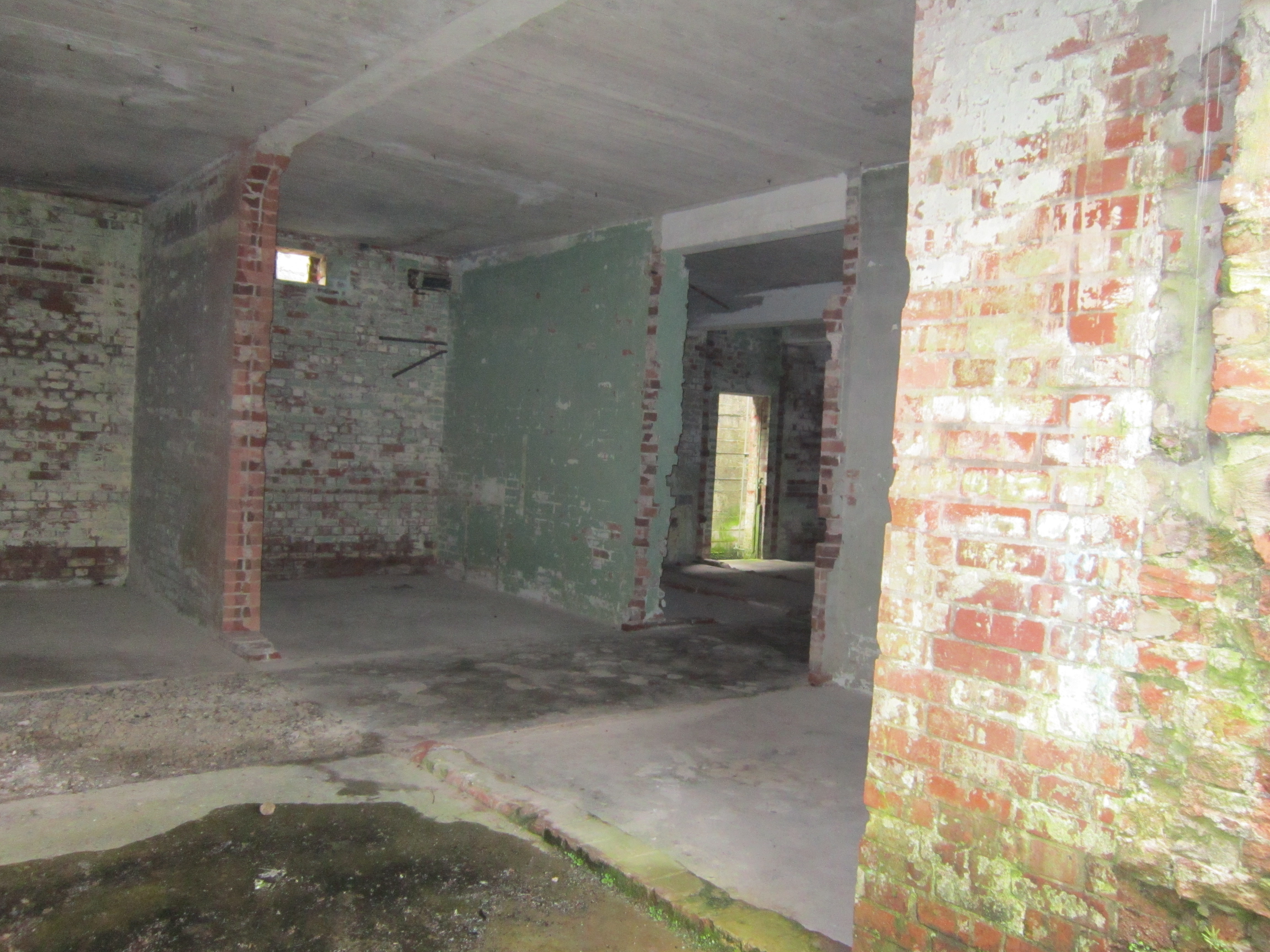
RAF Dry Tree was a Royal Air Force early warning radar station for detecting enemy aircraft during the Second World War. It was built in 1940 on Goonhilly Downs, on the Lizard peninsula in Cornwall, a short distance to the south-east of the Goonhilly Earth Station. It was named from the standing stone on the land known as the Dry Tree menhir. Purpose Its purpose was detecting aircraft approaching South Cornwall and the Western Approaches. It had four transmitter masts and two wooden receiver masts. Its existence was only revealed after the war had ended. Most of the station was destroyed in the early 1960s to make way for the satellite communication station. Some buildings and structures still exist and are located within a nature reserve. The nerve centre was the receiver block which now has public access to the roof, giving excellent views across the Downs. Other buildings and structures which were part of RAF Dry Tree can also be seen. Dry Tree menhir The Dry Tree menhi ... [...More Info...] [...Related Items...] OR: [Wikipedia] [Google] [Baidu] |
Goonhilly Downs
Goonhilly Satellite Earth Station is a large radiocommunication site located on Goonhilly Downs near Helston on the Lizard peninsula in Cornwall, England. Owned by Goonhilly Earth Station Ltd under a 999-year lease from BT Group plc, it was at one time the largest satellite earth station in the world, with more than 30 communication antennas and dishes in use. The site also links into undersea cable lines. History Its first dish, Antenna One (dubbed "Arthur"), was built in 1962 to link with Telstar. It was the first open parabolic design and is 25.9 metres (85 feet) in diameter and weighs 1,118 tonnes. After Pleumeur-Bodou Ground Station (Brittany) which received the first live transatlantic television broadcasts from the United States via the Telstar satellite at 0H47 GMT on 11 July 1962, Arthur received his first video in the middle of the same day. It is now a Grade II listed structure and is therefore protected. The site has also played a key role in communications even ... [...More Info...] [...Related Items...] OR: [Wikipedia] [Google] [Baidu] |
Goonhilly Satellite Earth Station
Goonhilly Satellite Earth Station is a large radiocommunication site located on Goonhilly Downs near Helston on the Lizard peninsula in Cornwall, England. Owned by Goonhilly Earth Station Ltd under a 999-year lease from BT Group plc, it was at one time the largest satellite earth station in the world, with more than 30 communication antennas and dishes in use. The site also links into undersea cable lines. History Its first dish, Antenna One (dubbed "Arthur"), was built in 1962 to link with Telstar. It was the first open parabolic design and is 25.9 metres (85 feet) in diameter and weighs 1,118 tonnes. After Pleumeur-Bodou Ground Station (Brittany) which received the first live transatlantic television broadcasts from the United States via the Telstar satellite at 0H47 GMT on 11 July 1962, Arthur received his first video in the middle of the same day. It is now a Grade II listed structure and is therefore protected. The site has also played a key role in communications even ... [...More Info...] [...Related Items...] OR: [Wikipedia] [Google] [Baidu] |
Military Units And Formations Established In 1940
A military, also known collectively as armed forces, is a heavily armed, highly organized force primarily intended for warfare. It is typically authorized and maintained by a sovereign state, with its members identifiable by their distinct military uniform. It may consist of one or more military branches such as an army, navy, air force, space force, marines, or coast guard. The main task of the military is usually defined as defence of the state and its interests against external armed threats. In broad usage, the terms ''armed forces'' and ''military'' are often treated as synonymous, although in technical usage a distinction is sometimes made in which a country's armed forces may include both its military and other paramilitary forces. There are various forms of irregular military forces, not belonging to a recognized state; though they share many attributes with regular military forces, they are less often referred to as simply ''military''. A nation's military may ... [...More Info...] [...Related Items...] OR: [Wikipedia] [Google] [Baidu] |
List Of Former Royal Air Force Stations
This list of former RAF stations includes most of the stations, airfields and administrative headquarters previously used by the Royal Air Force. The stations are listed under any former county or country name which was appropriate for the duration of operation. It has been stated that RAF stations took their name from the civil parish in which the station headquarters was located, rather than the nearest railway station (e.g., Binbrook has never had a railway station), but there are many exceptions. __TOC__ British Isles Chain Home, Chain Home Low, Chain Home Extra Low, ROTOR and tropo-scatter stations Notes: Some of the Chain Home Low sites were co-located with the larger Chain Home radars. Chain Home Extra Low equipment was co-located with "Chain Home" and "Chain Home Low" as well as at separate sites, but were of a less permanent nature, usually with mobile equipment. ROTOR was the post war Radar interception system created from existing radar installations. NARS ... [...More Info...] [...Related Items...] OR: [Wikipedia] [Google] [Baidu] |
Menhir
A menhir (from Brittonic languages: ''maen'' or ''men'', "stone" and ''hir'' or ''hîr'', "long"), standing stone, orthostat, or lith is a large human-made upright stone, typically dating from the European middle Bronze Age. They can be found individually as monoliths, or as part of a group of similar stones. Menhirs' size can vary considerably, but they often taper toward the top. They are widely distributed across Europe, Africa and Asia, but are most numerous in Western Europe; particularly in Ireland, Great Britain, and Brittany, where there are about 50,000 examples, and northwestern France, where there are some 1,200 further examples. Standing stones are usually difficult to date. They were constructed during many different periods across pre-history as part of the larger megalithic cultures in Europe and near areas. Some menhirs stand next to buildings that have an early or current religious significance. One example is the South Zeal Menhir in Devon, which formed th ... [...More Info...] [...Related Items...] OR: [Wikipedia] [Google] [Baidu] |
Dry Tree Menhir 2
Dry or dryness most often refers to: * Lack of rainfall, which may refer to **Arid regions **Drought * Dry or dry area, relating to legal prohibition of selling, serving, or imbibing alcoholic beverages * Dry humor, deadpan * Dryness (medical) * Dryness (taste), the lack of sugar in a drink, especially an alcoholic one * Dry direct sound without reverberation Dry or DRY may also refer to: Places * Dry Brook (other), various rivers * Dry Creek (other), various rivers and towns * Dry, Loiret, a commune of the Loiret ''département'' in France * Dry River (other), various rivers and towns Art, entertainment, and media Film * ''Dry'' (2014 film), a Nigerian film directed by Stephanie Linus * ''Dry'' (2022 film), an Italian film directed by Paolo Virzì * ''The Dry'' (film), a 2020 film based on the novel by Jane Harper Literature * ''Dry'' (memoir), a 2003 memoir by Augusten Burroughs * ''The Dry'' (novel), a 2016 novel by Jane Harper Music * Dr ... [...More Info...] [...Related Items...] OR: [Wikipedia] [Google] [Baidu] |
Site Of Special Scientific Interest
A Site of Special Scientific Interest (SSSI) in Great Britain or an Area of Special Scientific Interest (ASSI) in the Isle of Man and Northern Ireland is a conservation designation denoting a protected area in the United Kingdom and Isle of Man. SSSI/ASSIs are the basic building block of site-based nature conservation legislation and most other legal nature/geological conservation designations in the United Kingdom are based upon them, including national nature reserves, Ramsar sites, Special Protection Areas, and Special Areas of Conservation. The acronym "SSSI" is often pronounced "triple-S I". Selection and conservation Sites notified for their biological interest are known as Biological SSSIs (or ASSIs), and those notified for geological or physiographic interest are Geological SSSIs (or ASSIs). Sites may be divided into management units, with some areas including units that are noted for both biological and geological interest. Biological Biological SSSI/ASSIs may ... [...More Info...] [...Related Items...] OR: [Wikipedia] [Google] [Baidu] |
Western Approaches
The Western Approaches is an approximately rectangular area of the Atlantic Ocean lying immediately to the west of Ireland and parts of Great Britain. Its north and south boundaries are defined by the corresponding extremities of Britain. The coast of the mainland forms the eastern side and the western boundary is the 30 degree meridian, which passes through Iceland. The area is particularly important to the United Kingdom, because many of its larger shipping ports lie within it. The term is most commonly used when discussing naval warfare, notably during the First World War and Battle of the Atlantic during the Second World War in which Nazi Germany's ''Kriegsmarine'' attempted to blockade the United Kingdom using submarines (U-boats) operating in this area. Since almost all shipping to and from the United Kingdom passed through this area, it was an excellent hunting ground and had to be heavily defended. See also *Irish Sea *GIUK gap *Long Forties * Broad Fourteens *Western ... [...More Info...] [...Related Items...] OR: [Wikipedia] [Google] [Baidu] |
Menhir
A menhir (from Brittonic languages: ''maen'' or ''men'', "stone" and ''hir'' or ''hîr'', "long"), standing stone, orthostat, or lith is a large human-made upright stone, typically dating from the European middle Bronze Age. They can be found individually as monoliths, or as part of a group of similar stones. Menhirs' size can vary considerably, but they often taper toward the top. They are widely distributed across Europe, Africa and Asia, but are most numerous in Western Europe; particularly in Ireland, Great Britain, and Brittany, where there are about 50,000 examples, and northwestern France, where there are some 1,200 further examples. Standing stones are usually difficult to date. They were constructed during many different periods across pre-history as part of the larger megalithic cultures in Europe and near areas. Some menhirs stand next to buildings that have an early or current religious significance. One example is the South Zeal Menhir in Devon, which formed th ... [...More Info...] [...Related Items...] OR: [Wikipedia] [Google] [Baidu] |
The Lizard
The Lizard ( kw, An Lysardh) is a peninsula in southern Cornwall, England, United Kingdom. The most southerly point of the British mainland is near Lizard Point at SW 701115; Lizard village, also known as The Lizard, is the most southerly on the British mainland, and is in the civil parish of Landewednack, the most southerly parish. The valleys of the River Helford and Loe Pool form the northern boundary, with the rest of the peninsula surrounded by sea. The area measures about . The Lizard is one of England's natural regions and has been designated as a National Character Area 157 by Natural England. The peninsula is known for its geology and for its rare plants and lies within the Cornwall Area of Outstanding Natural Beauty (AONB). The name "Lizard" is most probably a corruption of the Cornish name "Lys Ardh", meaning "high court". The Lizard's coast is particularly hazardous to shipping and the seaways round the peninsula were historically known as the "Graveyard ... [...More Info...] [...Related Items...] OR: [Wikipedia] [Google] [Baidu] |
Helston
Helston ( kw, Hellys) is a town and civil parish in Cornwall, England, United Kingdom. It is situated at the northern end of the Lizard Peninsula approximately east of Penzance and south-west of Falmouth.Ordnance Survey: Landranger map sheet 203 ''Land's End'' Helston is the most southerly town on the island of Great Britain and is around farther south than Penzance. The population in 2011 was 11,700. The former stannary and cattle market town is best known for the annual Furry Dance (known locally as the Flora Dance), said to originate from the medieval period. However, the Hal-an-Tow is reputed to be of Celtic origin. The associated song and music, The Floral Dance, is known to have been written in 1911. In 2001, the town celebrated the 800th anniversary of the granting of its Charter. History The name comes from the Cornish 'hen lis' or 'old court' and 'ton' added later to denote a Saxon manor; the Domesday Book refers to Henliston (which survives as the name of ... [...More Info...] [...Related Items...] OR: [Wikipedia] [Google] [Baidu] |
Early Warning Radar
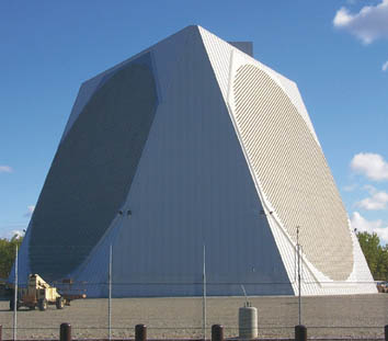
An early-warning radar is any radar system used primarily for the long-range detection of its targets, i.e., allowing defences to be alerted as ''early'' as possible before the intruder reaches its target, giving the air defences the maximum time in which to operate. This contrasts with systems used primarily for tracking or gun laying, which tend to offer shorter ranges but offer much higher accuracy. EW radars tend to share a number of design features that improve their performance in the role. For instance, EW radar typically operates at lower frequencies, and thus longer wavelengths, than other types. This greatly reduces their interaction with rain and snow in the air, and therefore improves their performance in the long-range role where their coverage area will often include precipitation. This also has the side-effect of lowering their optical resolution, but this is not important in this role. Likewise, EW radars often use much lower pulse repetition frequency to maximi ... [...More Info...] [...Related Items...] OR: [Wikipedia] [Google] [Baidu] |


