|
Queen Street, Ottawa
Queen Street is an east-west arterial road located in Downtown Ottawa, Ontario, Canada. The street is two-way with one to two lanes going in each direction. The Confederation Line runs underneath Queen Street. Route description The road is only long, making it a little longer than Sparks Street. The road begins to the east at Elgin Street, at the intersection of Elgin and Lawrence Freiman Lane. From eastbound on Queen Street the northbound section of Elgin appears to be a continuation of Queen. Heading west the road has two lanes in each direction. The road is surrounded by skyscrapers, many of which are used by the Canadian government. Renewal From Metcalfe Street to Bay Street, the road is reduced to a single eastbound lane due to construction. The City of Ottawa is renewing the street in anticipation of the Confederation Lines' opening as well as to build the tunnels and stations for the Confederation Line. The city is expanding the pedestrian infrastructure on ... [...More Info...] [...Related Items...] OR: [Wikipedia] [Google] [Baidu] |
Elgin Street (Ottawa)
Elgin Street (Ottawa Road #91) is a street in the Downtown core of Ottawa, Ontario, Canada. Originally named Biddy's Lane, it was later named after Lord Elgin. The north/south running street begins at Wellington Street in Confederation Square, just east of the Parliament buildings and just west of the bridge over the Rideau Canal. In the centre of Elgin Street for the first two blocks is Confederation Square, home of Canada's National War Memorial. To the south of this on the east of Elgin is the National Arts Centre; to the west is the British High Commission. Continuing south, Elgin is fronted by Confederation Park to the east and the Lord Elgin Hotel to the west. South of the park, just past Laurier Avenue, is the Ottawa Court House, across from the First Baptist Church and Grant house (1875 mansion), followed by City Hall (former Regional Municipality of Ottawa-Carleton Headquarters) and Knox Presbyterian Church. South of this, the street becomes mainly a business area ... [...More Info...] [...Related Items...] OR: [Wikipedia] [Google] [Baidu] |
Metcalfe Street (Ottawa)
Metcalfe Street is a downtown arterial road in Ottawa, Ontario, Canada. It is named for Charles Theophilus Metcalfe, a nineteenth-century Governor General of the Province of Canada. It is a north-south route, operating one way northbound, providing a key thoroughfare from Highway 417 (the Queensway). In the late 19th century and the early 20th century, its homes included those of Ottawa mayor Thomas Birkett (306 Metcalfe, Embassy of the Republic of Hungary in Ottawa), Canada's lumber and railroad baron John Rudolphus Booth (252 Metcalfe, Booth House), inventor Thomas Willson a.k.a. Carbide Willson, and Alexander Campbell, law partner of John A. Macdonald (236 Metcalfe). The southern terminus is at Monkland Avenue in The Glebe neighbourhood. It proceeds north as a minor residential street until the Queensway interchange (exit 119). As it continues north to downtown Ottawa, Metcalfe Street detours to the east of the Canadian Museum of Nature between Argyle Street and Mc ... [...More Info...] [...Related Items...] OR: [Wikipedia] [Google] [Baidu] |
OC Transpo
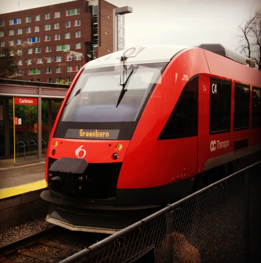
OC Transpo, officially the Ottawa-Carleton Regional Transit Commission, is the public transit agency for the city of Ottawa, Ontario, Canada. It operates an integrated hub-and-spoke system including light metro, bus rapid transit, conventional bus routes, and Para Transpo door-to-door accessible bus service. In , the system had a ridership of . OC Transpo's O-Train is a multimodal light metro system consisting of two lines: the east–west Confederation Line (Line 1), a metro system operating medium capacity electric trains along a partially underground route that cuts through the downtown; and the north–south diesel-powered Trillium Line (Line 2), originally an system from 2001 to 2020, which will be expanded to upon the scheduled reopening in 2023. The Airport Link (Line 4), a system sharing track with the Trillium Line but operating as a distinct segment, is also scheduled to open in 2023. The agency's bus system has 170 routes and 43 bus rapid transit (BRT) station ... [...More Info...] [...Related Items...] OR: [Wikipedia] [Google] [Baidu] |
Parliament Station
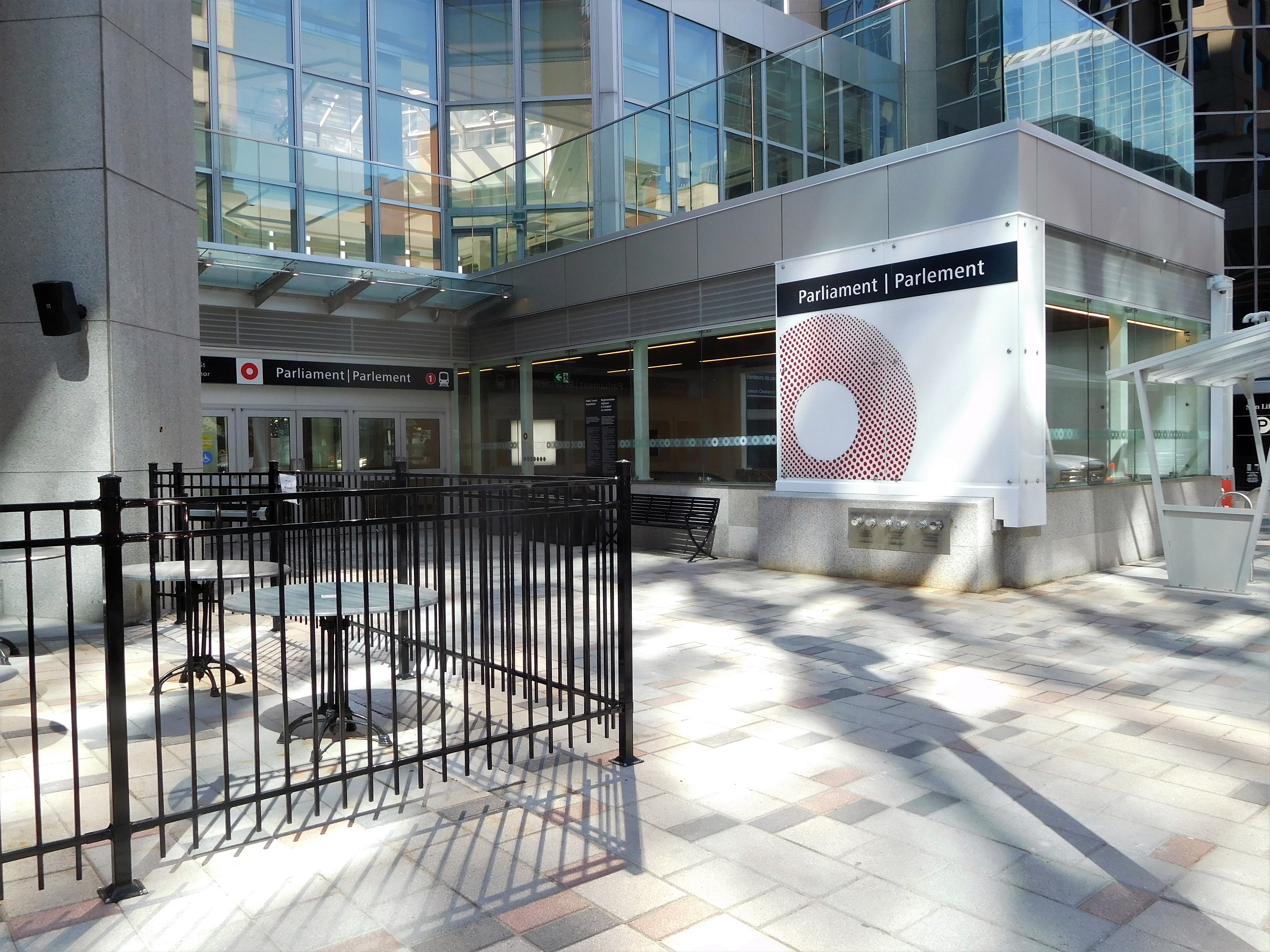
Parliament (french: Parlement) is a station on the Confederation Line as part of the O-Train network in Ottawa, Ontario, Canada. The station is located under O'Connor and Queen Streets in Downtown Ottawa. It has the highest projected use of all new stops on the Confederation Line, with access to Parliament Hill, Sparks Street, the downtown business district, as well as the World Exchange Plaza and Bank Street. The station is also near the CBC Ottawa Production Centre studios. Layout Parliament is an underground station with two side platforms. A single Grand Hall Concourse is located immediately above platform level. The station's entrances are integrated with the Sun Life Financial Centre and Heritage Place; both lead to the centre of the concourse, with ticket barriers at either end leading to the ends of the platform. The Grand Hall Concourse is 15 metres underground, while the platform itself is 19 metres. The station features two artworks: ''Lone Pine Sunset'' by Dougl ... [...More Info...] [...Related Items...] OR: [Wikipedia] [Google] [Baidu] |
Rideau Canal
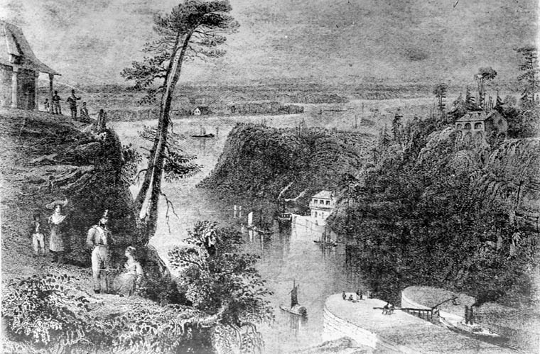
The Rideau Canal, also known unofficially as the Rideau Waterway, connects Canada's capital city of Ottawa, Ontario, to Lake Ontario and the Saint Lawrence River at Kingston. It is 202 kilometres long. The name ''Rideau'', French for "curtain", is derived from the curtain-like appearance of the Rideau River's twin waterfalls where they join the Ottawa River. The canal system uses sections of two rivers, the Rideau and the Cataraqui, as well as several lakes. Parks Canada operates the Rideau Canal. The canal was opened in 1832 as a precaution in case of war with the United States. It remains in use today primarily for pleasure boating, with most of its original structures intact. The locks on the system open for navigation in mid-May and close in mid-October. It is the oldest continuously operated canal system in North America. In 2007 it was registered as a UNESCO World Heritage Site. History Plan After the War of 1812, information was received about the United States' ... [...More Info...] [...Related Items...] OR: [Wikipedia] [Google] [Baidu] |
Christian Cemetery
A Christian burial is the burial of a deceased person with specifically Christian rites; typically, in consecrated ground. Until recent times Christians generally objected to cremation because it interfered with the concept of the resurrection of the dead, resurrection of a corpse, and practiced inhumation almost exclusively. Today this opposition has all but vanished among Protestants and Catholics alike, and this is rapidly becoming more common, although Eastern Orthodox Churches still mostly forbid cremation. History and antecedents of Christian burial rites Early historical evidence The Greeks and Romans practiced both burial and cremation, with Roman funerary practices distinctly favoring cremation by the time Christianity arose during the Principate. However, the Judaism, Jews only ever buried their dead. Even God in Christianity, God himself is depicted in the Torah as performing burial: "And [God] buried him (Moses) in the depression in the land of Moab, opposite Beth Pe ... [...More Info...] [...Related Items...] OR: [Wikipedia] [Google] [Baidu] |
Storm Sewers
A storm drain, storm sewer (United Kingdom, U.S. and Canada), surface water drain/sewer (United Kingdom), or stormwater drain ( Australia and New Zealand) is infrastructure designed to drain excess rain and ground water from impervious surfaces such as paved streets, car parks, parking lots, footpaths, sidewalks, and roofs. Storm drains vary in design from small residential dry wells to large municipal systems. Drains receive water from street gutters on most motorways, freeways and other busy roads, as well as towns in areas with heavy rainfall that leads to flooding, and coastal towns with regular storms. Even gutters from houses and buildings can connect to the storm drain. Many storm drainage systems are gravity sewers that drain untreated storm water into rivers or streams—so it is unacceptable to pour hazardous substances into the drains. Storm drains sometimes cannot manage the quantity of rain that falls in heavy rains or storms. Inundated drains can cause basement ... [...More Info...] [...Related Items...] OR: [Wikipedia] [Google] [Baidu] |
Sanitary Sewer
A sanitary sewer is an underground pipe or tunnel system for transporting sewage from houses and commercial buildings (but not stormwater) to a sewage treatment plant or disposal. Sanitary sewers are a type of gravity sewer and are part of an overall system called a "sewage system" or sewerage. Sanitary sewers serving industrial areas may also carry industrial wastewater. In municipalities served by sanitary sewers, separate storm drains may convey surface runoff directly to surface waters. An advantage of sanitary sewer systems is that they avoid combined sewer overflows. Sanitary sewers are typically much smaller in diameter than combined sewers which also transport urban runoff. Backups of raw sewage can occur if excessive stormwater inflow or groundwater infiltration occurs due to leaking joints, defective pipes etc. in aging infrastructure. Purpose Sewage treatment is less effective when sanitary waste is diluted with stormwater, and combined sewer overflows occur when r ... [...More Info...] [...Related Items...] OR: [Wikipedia] [Google] [Baidu] |
Bike Lane
Bike lanes (US) or cycle lanes (UK) are types of bikeways (cycleways) with lanes on the roadway for cyclists only. In the United Kingdom, an on-road cycle-lane can be firmly restricted to cycles (marked with a solid white line, entry by motor vehicles is prohibited) or advisory (marked with a broken white line, entry by motor vehicles is permitted). In the United States, a ''designated bicycle lane'' (1988 MUTCD) or ''class II bikeway'' (Caltrans) is always marked by a solid white stripe on the pavement and is for 'preferential use' by bicyclists. There is also a ''class III bicycle route'', which has roadside signs suggesting a route for cyclists, and urging sharing the road. A ''class IV separated bike way'' (Caltrans) is a bike lane that is physically separate from motor traffic and restricted to bicyclists only. Effects According to a 2019 study, cities with separated bike lanes had 44% fewer road fatalities and 50% fewer serious injuries from crashes. The relationship w ... [...More Info...] [...Related Items...] OR: [Wikipedia] [Google] [Baidu] |
Sidewalk
A sidewalk (North American English), pavement (British English), footpath in Australia, India, New Zealand and Ireland, or footway, is a path along the side of a street, street, highway, terminals. Usually constructed of concrete, pavers, brick, stone, or asphalt, it is designed for pedestrians. A sidewalk is normally higher than the carriageway, roadway, and separated from it by a kerb (spelled "curb" in North America). There may also be a Road verge, planted strip between the sidewalk and the roadway and between the roadway and the adjacent land. In some places, the same term may also be used for a paved path, trail or footpath that is not next to a road, for example, a path through a park. Terminology The term "sidewalk" is preferred in most of North America. The term "pavement" is more common in the United Kingdom and other members of the Commonwealth of Nations, as well as parts of the Mid-Atlantic United States such as Philadelphia and parts of New Jersey. Many Commonwea ... [...More Info...] [...Related Items...] OR: [Wikipedia] [Google] [Baidu] |
City Of Ottawa
The City of Ottawa is the corporate entity of municipal government in Ottawa, Ontario, Canada. The corporation is responsible for provision of services to the public as well as enforcement of municipal by-laws. It is overseen by the City Manager, and responsible to the Mayor of Ottawa ( Jim Watson) and City Council. History The ''City of Ottawa Act, 1999'' (french: Loi de 1999 sur la ville d'Ottawa) is an act of the legislature of Ontario which created the City of Ottawa. The Act was first passed in 1999 to provide for the 2001 amalgamation of the former Regional Municipality of Ottawa–Carleton, the former cities of Ottawa, Nepean, Kanata, Gloucester, Vanier and Cumberland, the former townships of West Carleton, Goulbourn, Rideau, and Osgoode, and the former village of Rockcliffe Park Rockcliffe Park ( French: ''Parc Rockcliffe'') is a neighbourhood in Rideau-Rockcliffe Ward, close to the centre of Ottawa, Ontario, Canada. Established in 1864, organized as a Police ... [...More Info...] [...Related Items...] OR: [Wikipedia] [Google] [Baidu] |


