|
Purga Aboriginal Cemetery
Purga Aboriginal Cemetery is a heritage-listed cemetery at Carmichaels Road, Purga, City of Ipswich, Queensland, Australia. It was added to the Queensland Heritage Register on 18 September 2008. History Purga Creek Aboriginal Mission comprised areas of land gazetted for Aboriginal purposes from 1892 until they were rescinded in 1948. The first area of land to be gazetted was R.177 situated about south of Ipswich in an area referred to as Purga Creek (South). Buildings and structures associated with the Purga Creek Mission site no longer exist. The cemetery, gazetted in 1968 but in use much earlier, retains a long association with the Purga Creek Aboriginal Mission with the earliest marked grave dating from 1918 a few years after the establishment of the mission. The Purga Creek Aboriginal Mission was established in 1914 as a self-supporting farm and a training venture for future employment and remained so until 1948 when the mission closed. At the time the buildings were ... [...More Info...] [...Related Items...] OR: [Wikipedia] [Google] [Baidu] |
Purga, Queensland
Purga is a rural locality in the City of Ipswich, Queensland, Australia. In the , Purga had a population of 576 people. Geography Purga is on the outskirts of Ipswich. The western boundary of Purga follows Warrill Creek. Road infrastructure Ipswich – Boonah Road (State Route 93) runs through from north-east to south-east. History The area was named after the parish which was derived from the Aboriginal word ''pur-pur'', meaning ''a meeting place''. Purga Creek State School was opened on 1 September 1871. It was renamed Purga State School about 1945. It closed in 1967. It was at 68 Purga School Road (). Residents in the Fassifern Valley petitioned the Queensland Government to build a railway line to their district, and the first section of the Dugandan railway line The Dugandan railway line was a branch railway in the Scenic Rim region of South East Queensland, Australia. It was also known as the Fassifern railway line. It operated from 1882 to 1964. Geography ... [...More Info...] [...Related Items...] OR: [Wikipedia] [Google] [Baidu] |
North Queensland
North Queensland or the Northern Region is the northern part of the Australian state of Queensland that lies just south of Far North Queensland. Queensland is a massive state, larger than many countries, and its tropical northern part has been historically remote and undeveloped, resulting in a distinctive regional character and identity. Townsville is the largest urban centre in North Queensland, leading it to be regarded as an unofficial capital. The region has a population of 231,628 and covers . Geography There is no official boundary that separates North Queensland from the rest of the state. Unofficially it is usually considered to have a southern border beginning south of the Mackay Region southern boundary, but historically it has been as far south as Rockhampton. To the north is the Far North Queensland region, centred on Cairns and out west is the Gulf Country. A coastal region centred on its largest settlement is the city of Townsville. The city is the locatio ... [...More Info...] [...Related Items...] OR: [Wikipedia] [Google] [Baidu] |
Cemeteries In Queensland
A cemetery, burial ground, gravesite or graveyard is a place where the remains of dead people are buried or otherwise interred. The word ''cemetery'' (from Greek , "sleeping place") implies that the land is specifically designated as a burial ground and originally applied to the Roman catacombs. The term ''graveyard'' is often used interchangeably with cemetery, but a graveyard primarily refers to a burial ground within a churchyard. The intact or cremated remains of people may be interred in a grave, commonly referred to as burial, or in a tomb, an "above-ground grave" (resembling a sarcophagus), a mausoleum, columbarium, niche, or other edifice. In Western cultures, funeral ceremonies are often observed in cemeteries. These ceremonies or rites of passage differ according to cultural practices and religious beliefs. Modern cemeteries often include crematoria, and some grounds previously used for both, continue as crematoria as a principal use long after the interment ... [...More Info...] [...Related Items...] OR: [Wikipedia] [Google] [Baidu] |
Driveway
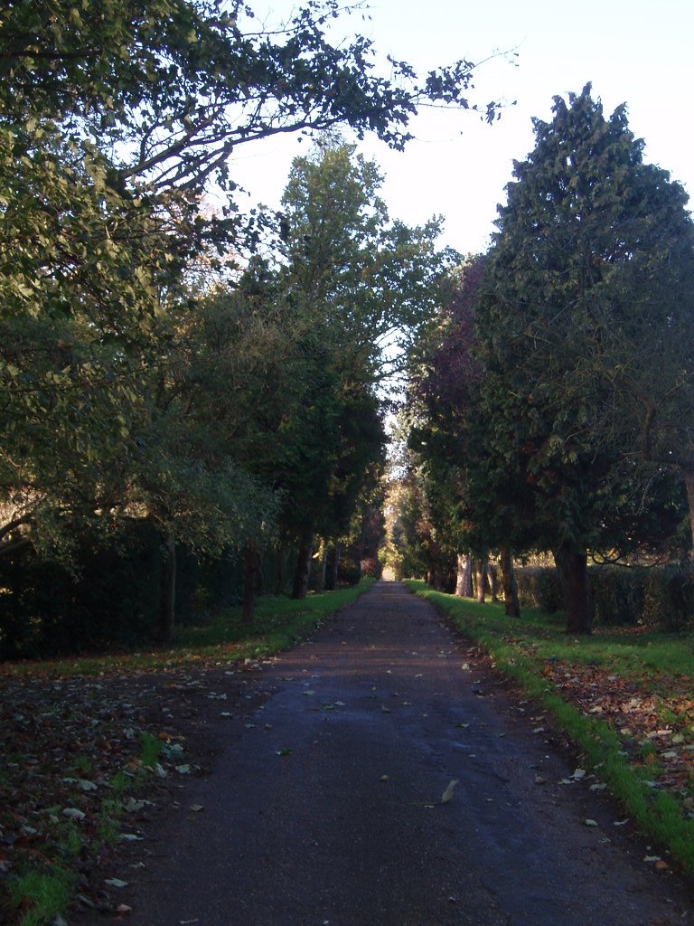
A driveway (also called ''drive'' in UK English) is a type of private road for local access to one or a small group of structures, and is owned and maintained by an individual or group. Driveways rarely have traffic lights, but some that bear heavy traffic, especially those leading to commercial businesses and parks, do. Driveways may be decorative in ways that public roads cannot, because of their lighter traffic and the willingness of owners to invest in their construction. Driveways are not resurfaced, snow blown or otherwise maintained by governments. They are generally designed to conform to the architecture of connected houses or other buildings. Some of the materials that can be used for driveways include concrete, decorative brick, cobblestone, block paving, asphalt, gravel, decomposed granite, and surrounded with grass or other ground-cover plants. Driveways are commonly used as paths to private garages, carports, or houses. On large estates, a driveway may be the ... [...More Info...] [...Related Items...] OR: [Wikipedia] [Google] [Baidu] |
Harold Blair
Harold Blair (13 September 1924 – 21 May 1976) was an Australian tenor and Aboriginal activist. He has been called the "last great Australian tenor of the concert hall era". Early life Blair was born at the Barambah Aboriginal Reserve at Cherbourg, from Murgon in Queensland, on 13 September 1924. His mother was Esther Quinn, a teenage Aboriginal woman. His surname, Blair, came from the family that had "adopted" his mother. He and his mother then went to the Salvation Army Purga Mission near Ipswich. His mother entered domestic service, leaving Harold, then aged two, at the mission, where he received an elementary education. Blair left school at age 16, gaining employment as a farm labourer. At the age of 17, he was working as a tractor driver at the Fairymead Sugar Mill. Communist trade union organiser Harry Green of Ipswich heard him singing and encouraged him to make it his career. In 1944 he joined professional artists raising money for charitable and patriotic ... [...More Info...] [...Related Items...] OR: [Wikipedia] [Google] [Baidu] |
Mitchell, Queensland
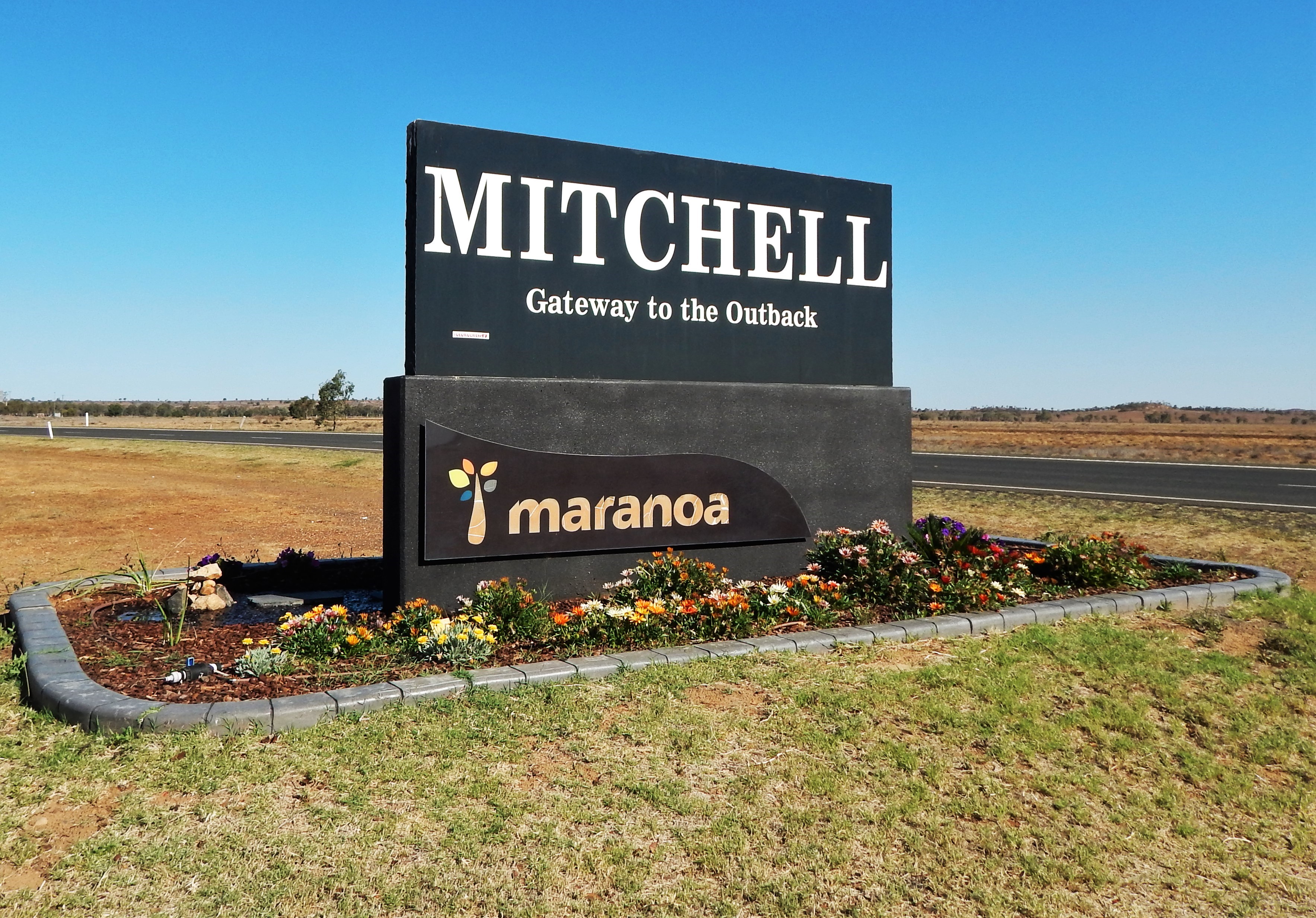
Mitchell is a rural town and locality in the Maranoa Region, Queensland, Australia. The town services the local area, a cattle and sheep farming district. In the , the locality of Mitchell had a population of 1,031 people. Geography Mitchell is on the Warrego Highway, west of Brisbane, 441 kilometres (274 mi) west of Toowoomba, 230 kilometres (143 mi) west of Miles, 89 kilometres (55 mi) west of Roma and 180 kilometres (112 mi) east of Charleville. The Warrego Highway passes through town to form the main street, Cambridge Street. The Maranoa River flows around the northern and eastern sides of the town before eventually flowing into the Balonne River. The Western railway passes through the locality, entering from the east ( Amby / Walhallow) and exiting to the west ( Womalilla). The locality is served by a number of railway stations, from west to east: * Mitchell railway station, a passenger stop in the town () * Booringa railway siding, now dismantled () * Marbango railw ... [...More Info...] [...Related Items...] OR: [Wikipedia] [Google] [Baidu] |
Brisbane
Brisbane ( ) is the capital and most populous city of the states and territories of Australia, Australian state of Queensland, and the list of cities in Australia by population, third-most populous city in Australia and Oceania, with a population of approximately 2.6 million. Brisbane lies at the centre of the South East Queensland metropolitan region, which encompasses a population of around 3.8 million. The Brisbane central business district is situated within a peninsula of the Brisbane River about from its mouth at Moreton Bay, a bay of the Coral Sea. Brisbane is located in the hilly floodplain of the Brisbane River Valley between Moreton Bay and the Taylor Range, Taylor and D'Aguilar Range, D'Aguilar mountain ranges. It sprawls across several local government in Australia, local government areas, most centrally the City of Brisbane, Australia's most populous local government area. The demonym of Brisbane is ''Brisbanite''. The Traditional Owners of the Brisbane a ... [...More Info...] [...Related Items...] OR: [Wikipedia] [Google] [Baidu] |
The Courier-Mail
''The Courier-Mail'' is an Australian newspaper published in Brisbane. Owned by News Corp Australia, it is published daily from Monday to Saturday in Tabloid (newspaper format), tabloid format. Its editorial offices are located at Bowen Hills, Queensland, Bowen Hills, in Brisbane's inner northern suburbs, and it is printed at Murarrie, Queensland, Murarrie, in Brisbane's eastern suburbs. It is available for purchase throughout Queensland, most regions of Northern New South Wales and parts of the Northern Territory. History The history of ''The Courier-Mail'' is through four Nameplate (publishing), mastheads. The ''Moreton Bay Courier'' later became ''The Courier (Brisbane), The Courier'', then the ''Brisbane Courier'' and, since a merger with the Daily Mail in 1933, ''The Courier-Mail''. The ''Moreton Bay Courier'' was established as a weekly paper in June 1846. Issue frequency increased steadily to bi-weekly in January 1858, tri-weekly in December 1859, then daily under the ed ... [...More Info...] [...Related Items...] OR: [Wikipedia] [Google] [Baidu] |
The War Cry
''The War Cry'' is the official news publication of The Salvation Army. Today national versions of it are sold in countries all over the world to raise funds in support of the Army's social work. History The first edition of ''The War Cry'' was printed on 27 December 1879 in London, England. In 1880, US Salvation Army Commissioner George Scott Railton published the ''Salvation News'', a small newsletter. He published the first US edition of ''The War Cry'' in January 1881 in St. Louis, Missouri St. Louis () is the second-largest city in Missouri, United States. It sits near the confluence of the Mississippi and the Missouri Rivers. In 2020, the city proper had a population of 301,578, while the bi-state metropolitan area, which e .... Between 1920 and 1970, each U.S. territory published its own individual version of ''The War Cry''. In 1970, the Salvation Army's US National Headquarters started publishing a nationwide version of ''The War Cry''. Notes and references ... [...More Info...] [...Related Items...] OR: [Wikipedia] [Google] [Baidu] |
Charleville, Queensland
Charleville () is a rural town and locality in the Shire of Murweh, Queensland, Australia. In the , the locality of Charleville had a population of 3,335 people. Geography Located in southwestern Queensland, Australia, Charleville is west of Brisbane (the Queensland capital), 616 kilometres (384 mi) west of Toowoomba, 535 kilometres (333 mi) west of Dalby, 393 kilometres (244 mi) west of Miles and 254 kilometres (158 mi) west of Roma. It is the largest town and administrative centre of the Shire of Murweh, which covers an area of 43,905 square kilometres. Charleville is situated on the banks of the Warrego River. Charleville is the terminus for the Warrego Highway which stretches 683 kilometres (424 mi) from Brisbane. The Mitchell Highway also connects Charleville with: * Augathella - 84 kilometres (53 mi) north * Wyandra - 124 kilometres (77 mi) south * Cunnamulla - 198 kilometres (123 mi) south * Bourke - 454 kilometres (282&nb ... [...More Info...] [...Related Items...] OR: [Wikipedia] [Google] [Baidu] |
Dugandan Railway Line
The Dugandan railway line was a branch railway in the Scenic Rim region of South East Queensland, Australia. It was also known as the Fassifern railway line. It operated from 1882 to 1964. Geography The line began west of Ipswich station on the Main Line 39 km west of Brisbane and proceeded generally southward for approximately 50 km to the locality of Dugandan now part of the urban settlement of Boonah. History Residents in the Fassifern Valley petitioned the Queensland Government to build a railway line to their district, and the first section was opened on 10 July 1882 as far as Harrisville. This is considered to be Queensland's first branch railway. The branch was extended to Dugandan on 12 September 1887. The Mount Edwards branch line branched off the Dugandan line at Munbilla. The Mount Edwards line opened to Kalbar on 17 April 1916 and to Mount Edwards on 7 October 1922. The Mount Edwards line closed in 1960. During its life, the Dugandan branch c ... [...More Info...] [...Related Items...] OR: [Wikipedia] [Google] [Baidu] |
City Of Ipswich
The City of Ipswich is a local government area in Queensland, Australia, located within the southwest of the Brisbane metropolitan area, including the urban area surrounding the city of Ipswich and surrounding rural areas. Geography The City of Ipswich is centrally located in the South East Queensland region of Australia. Ipswich governs the outer western portion of the Brisbane Metropolitan Area, Queensland, Australia. It covers an area of along the coast about southwest of Brisbane CBD. To the east is the City of Brisbane local government area, and to the west are the rural and agricultural areas of the Brisbane, Lockyer and Fassifern Valleys. History Ipswich is the second-oldest local government area in Queensland, after Brisbane. On 16 November 1859, after the enactment of the Municipalities Act of 1858 in New South Wales, a petition containing 91 signatures was received by the Governor of New South Wales seeking to have Ipswich, which at the time had 3,000 peopl ... [...More Info...] [...Related Items...] OR: [Wikipedia] [Google] [Baidu] |


_(14579927197).jpg)


