|
Punta Gorda Light
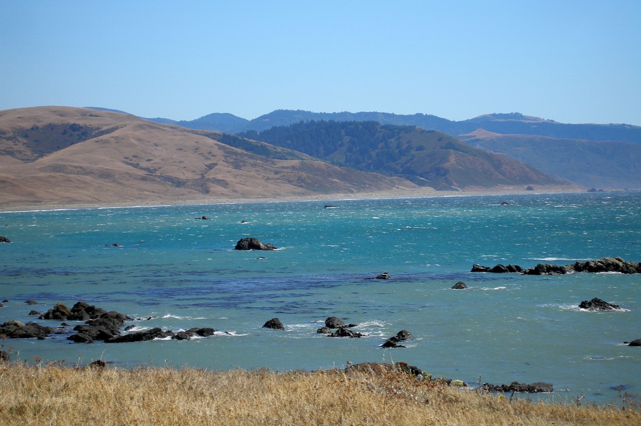
Punta Gorda Lighthouse is a lighthouse in the United States, south of Cape Mendocino, California, within Humboldt County. Access is via a short hike from the end of a 4WD road. It is managed by the Bureau of Land Management. History Punta Gorda Lighthouse was built in 1911 and was first lit in 1912. After World War II, it was decided that given the remoteness of the station it was too costly to maintain. A lighted buoy was placed offshore, the fourth order Fresnel lens was removed, and the station was boarded up and deactivated in 1951. The keeper's house and all other station buildings were eventually demolished except the reinforced concrete light station building and the metal framework for the lantern room atop it and the reinforced concrete oil house were left standing. Historical Information from USCG web site: Punta Gorda originally consisted of upon which were situated three dwellings, a small two-story concrete lighthouse, concrete oil house, a wooden fog signal ... [...More Info...] [...Related Items...] OR: [Wikipedia] [Google] [Baidu] |
Cape Mendocino
Cape Mendocino (Spanish: ''Cabo Mendocino'', meaning "Cape of Mendoza"), which is located approximately north of San Francisco, is located on the Lost Coast entirely within Humboldt County, California, United States. At 124° 24' 34" W longitude, it is the westernmost point on the coast of California. The South Cape Mendocino State Marine Reserve and Sugarloaf Island are immediately offshore, although closed to public access due to their protected status. Sugarloaf Island is cited as California's westernmost island. History It was named by 16th-century Spanish navigators to honor Antonio de Mendoza, Viceroy of New Spain, Cape Mendocino has been a landmark since the 16th century, when Manila Galleons followed the prevailing westerlies across the Pacific to the Cape, then followed the coast south to Acapulco, Mexico. The Cape Mendocino Light was lit on December 1, 1868, standing on eight prefabricated panels sent up from San Francisco. An automated light stood near the original lo ... [...More Info...] [...Related Items...] OR: [Wikipedia] [Google] [Baidu] |
Eureka, California
Eureka (Wiyot: ''Jaroujiji'', Hupa: ''do'-wi-lotl-ding'', Karuk: ''uuth'') is the principal city and county seat of Humboldt County in the Redwood Empire region of California. The city is located on U.S. Route 101 on the shores of Humboldt Bay, north of San Francisco and south of the Oregon border. At the 2010 census, the population of the city was 27,191, and the population of Greater Eureka was 45,034. Eureka is the largest coastal city between San Francisco and Portland, Oregon, and the westernmost city of more than 25,000 residents in the 48 contiguous states.Eureka (city), California , State & County QuickFacts, January 10, 2013, note: in data set The proximity to the sea causes the city to have an extremely maritime clim ... [...More Info...] [...Related Items...] OR: [Wikipedia] [Google] [Baidu] |
Lighthouses Completed In 1911
A lighthouse is a tower, building, or other type of physical structure designed to emit light from a system of lamps and lens (optics), lenses and to serve as a beacon for navigational aid, for maritime pilots at sea or on inland waterways. Lighthouses mark dangerous coastlines, hazardous shoals, reefs, rocks, and safe entries to harbors; they also assist in aerial navigation. Once widely used, the number of operational lighthouses has declined due to the expense of maintenance and has become uneconomical since the advent of much cheaper, more sophisticated and effective electronic navigational systems. History Ancient lighthouses Before the development of clearly defined ports, mariners were guided by fires built on hilltops. Since elevating the fire would improve the visibility, placing the fire on a platform became a practice that led to the development of the lighthouse. In antiquity, the lighthouse functioned more as an entrance marker to ports than as a warning signa ... [...More Info...] [...Related Items...] OR: [Wikipedia] [Google] [Baidu] |
Transportation Buildings And Structures In Humboldt County, California
Transport (in British English), or transportation (in American English), is the intentional movement of humans, animals, and goods from one location to another. Modes of transport include air, land (rail and road), water, cable, pipeline, and space. The field can be divided into infrastructure, vehicles, and operations. Transport enables human trade, which is essential for the development of civilizations. Transport infrastructure consists of both fixed installations, including roads, railways, airways, waterways, canals, and pipelines, and terminals such as airports, railway stations, bus stations, warehouses, trucking terminals, refueling depots (including fueling docks and fuel stations), and seaports. Terminals may be used both for interchange of passengers and cargo and for maintenance. Means of transport are any of the different kinds of transport facilities used to carry people or cargo. They may include vehicles, riding animals, and pack animals. Vehicles may inc ... [...More Info...] [...Related Items...] OR: [Wikipedia] [Google] [Baidu] |


