|
Provinces Of Rwanda
The provinces of Rwanda (Kinyarwanda: ''intara'') are divided into districts (''akarere'') and municipalities (''umujyi''). Prior to January 1, 2006, Rwanda was composed of 12 provinces. The Rwandan government decided to establish new provinces in an attempt to address issues that arose from the Rwandan genocide. The new provinces were to be "ethnically-diverse administrative areas". Until 2002, the provinces were called prefectures (''perefegitura''). Provinces As of January 1, 2006 the five provinces of Rwanda are: Provincial districts and sectors Eastern Province Northern Province Western Province Southern Province Kigali Former provinces Prior to 2006 the provinces were: * Butare Province *Byumba Province *Cyangugu Province * Gikongoro Province * Gisenyi Province *Gitarama Province * Kibungo Province *Kibuye Province *Kigali City (Established as a province in 1990) *Kigali-Rural Province (Kigali Ngali) * Ruhengeri Province * Umutara Province (Established ... [...More Info...] [...Related Items...] OR: [Wikipedia] [Google] [Baidu] |
Rwanda Provinces 2006
Rwanda (; rw, u Rwanda ), officially the Republic of Rwanda, is a landlocked country in the Great Rift Valley of Central Africa, where the African Great Lakes region and Southeast Africa converge. Located a few degrees south of the Equator, Rwanda is bordered by Uganda, Tanzania, Burundi, and the Democratic Republic of the Congo. It is highly elevated, giving it the soubriquet "land of a thousand hills", with its geography dominated by mountains in the west and savanna to the southeast, with numerous lakes throughout the country. The climate is temperate to subtropical, with two rainy seasons and two dry seasons each year. Rwanda has a population of over 12.6 million living on of land, and is the most densely populated mainland African country; among countries larger than 10,000 km2, it is the fifth most densely populated country in the world. One million people live in the capital and largest city Kigali. Hunter-gatherers settled the territory in the Stone and Iron ... [...More Info...] [...Related Items...] OR: [Wikipedia] [Google] [Baidu] |
Rwamagana
Rwamagana is a city and capital of both the Rwamagana District and the Eastern Province in Rwanda Description Rwamagana lies approximately from Kigali, on the newly renovated road leading east towards Tanzania. There was formerly a large amount of traffic running through the centre, particularly freight to and from Tanzania, but with the recent creation of a bypass, the centre of the city is now quieter. The city lies mainly along two roads, the main east-west route, and a spur leading off to the south. The main market and the Banque de Kigali are on this spur, while the city's two petrol stations, taxi-bus parks and post office are on the east-west road. There is a large church at the western end of the city, adjacent to the main secondary school, and a new conference centre A convention center (American English; or conference centre in British English) is a large building that is designed to hold a convention, where individuals and groups gather to promote and ... [...More Info...] [...Related Items...] OR: [Wikipedia] [Google] [Baidu] |
Nyarugenge District
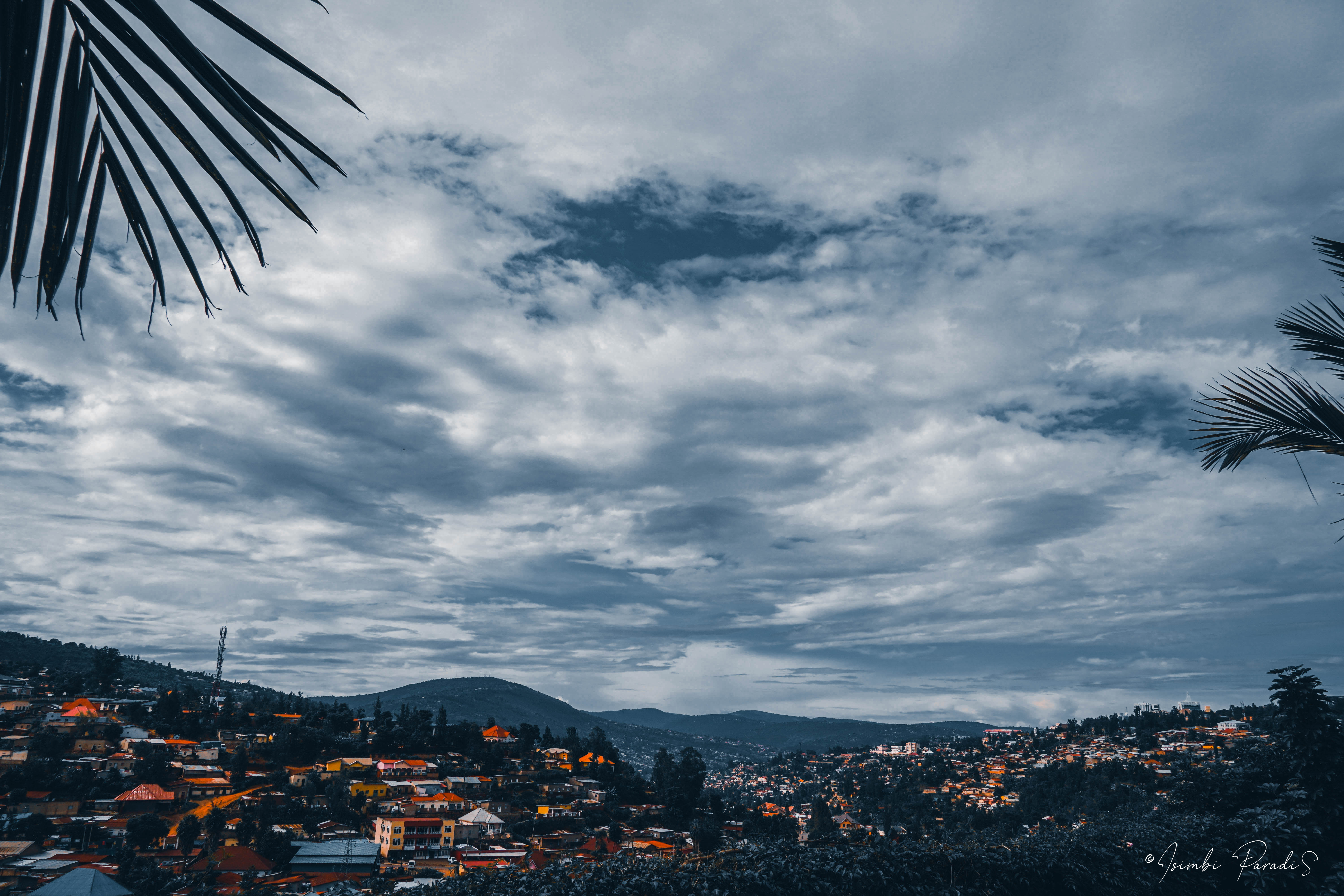
Nyarugenge is a district (''akarere'') in Kigali Province, Rwanda. Its heart is the city centre of Kigali Kigali () is the capital and largest city of Rwanda. It is near the nation's geographic centre in a region of rolling hills, with a series of valleys and ridges joined by steep slopes. As a primate city, Kigali has been Rwanda's economic, cu ... (which is towards the west of the urban area and the province), and contains most of the city's businesses. Sectors Nyarugenge district is divided into 10 sectors (''imirenge''): Gitega, Kanyinya, Kigali, Kimisagara, Mageragere, Muhima, Nyakabanda, Nyamirambo, Nyarugenge and Rwezamenyo. Education '' Lycée de Kigali'' (LDK) is in Kiyovu Cell, Nyarugenge Sector, Nyarugenge District. ." [...More Info...] [...Related Items...] OR: [Wikipedia] [Google] [Baidu] |
Kicukiro District
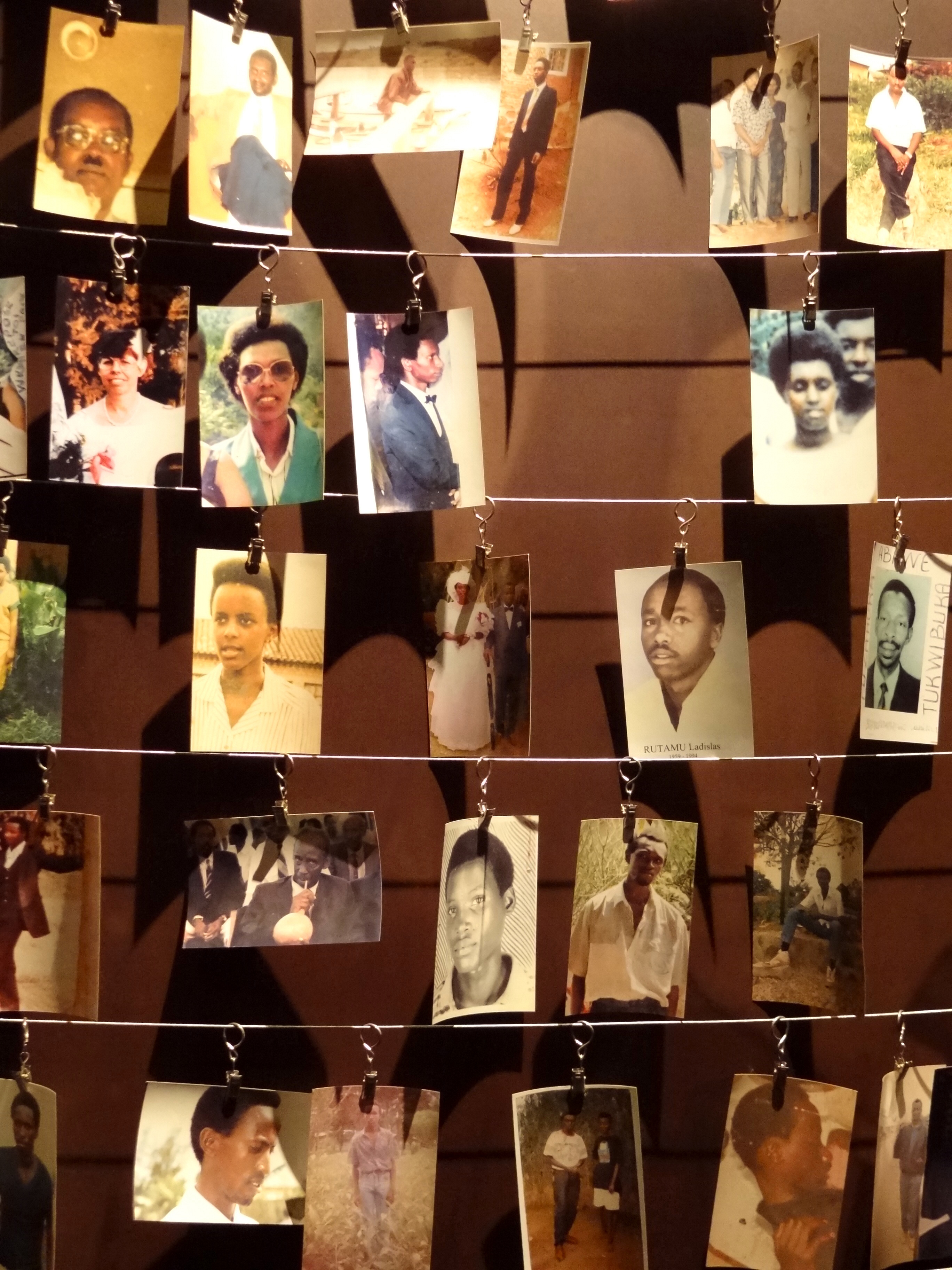
Kicukiro District is one of the three Districts which constitute the City of Kigali and is situated in the South-East of the City of Kigali. Is a district (''akarere'') located in Kigali Province, Rwanda. Kicukiro is home to a thriving market, a number of NGOs and the Bralirwa Brewery. In addition, it is the headquarters for the Friends Church in Rwanda. Kicukiro District is also home to two major memorial sites associated with the Rwandan genocide. These are the Rebero Genocide Memorial Site where 14,400 victims are buried, and the Nyanza Genocide Memorial Site where 5,000 victims were killed after Belgian soldiers who were serving in the United Nations peacekeeping forces abandoned them. Geography This district is located in the south-east city of Kigali, the capital of Rwanda. It is made up to ten (10) administrative sectors (Imirenge), Kagarama, Niboye, Gatenga, Gikondo, Gahanga, Kanombe, Nyarugunga, Kigarama, Masaka), 41cells (Utugali) and 333 Administrative villages (i ... [...More Info...] [...Related Items...] OR: [Wikipedia] [Google] [Baidu] |
Gasabo District
Gasabo is a district, (''akarere'') in Kigali city, the capital of Rwanda. The headquarter of Gasabo is located in Remera Sector. The district also includes large areas of the city itself, including Kacyiru, Kimironko, Remera, Nyarutarama and Kimihurura. The district is the location of the Gisozi Genocide Memorial Site, the burial place of approximately 300,000 victims of the 1994 Genocide against Tutsis . In addition to the cemetery, the memorial has a related genocide exhibition area and library and has plans to develop a teaching centre on the history of the genocide. History The original country of Rwanda, referred to as “the Rwanda of Gasabo” (u Rwanda rwa Gasabo), was a small territorial entity located in the present district of Gasabo, along the valley of Lake Muhazi, namely Nyabugogo. When the period of historical kings unfolded (“abami b’ibitekerezo”), Rwanda came under the reign of King Ruganzu Bwimba- The first king among series of historical kings who ... [...More Info...] [...Related Items...] OR: [Wikipedia] [Google] [Baidu] |
Rugabano
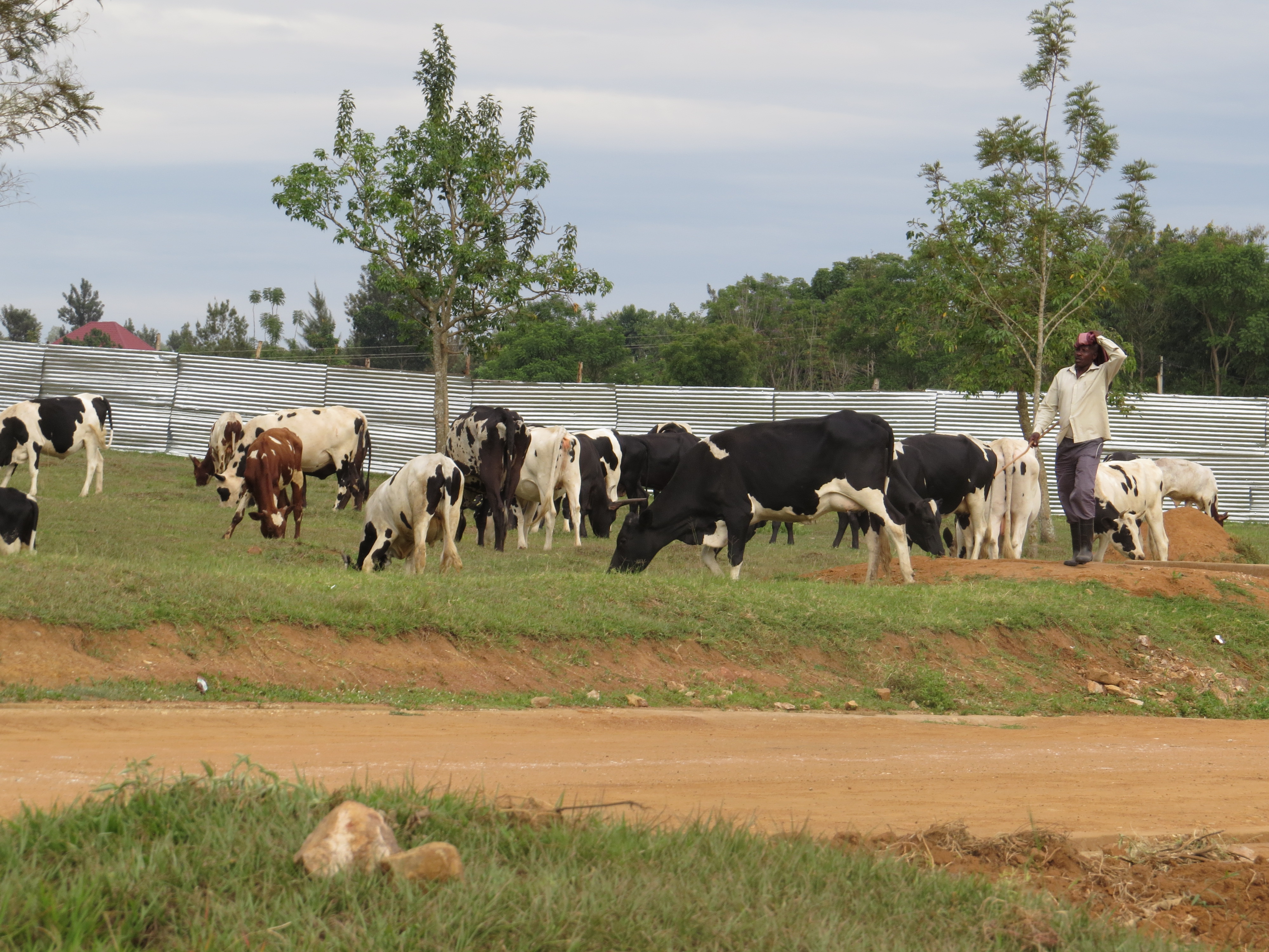
Rugabano is a sector (umurenge) in Karongi district, in Western Province, Rwanda. Its office is near Gakuta center, on the foot of Gisunzu mount. Its capital is Rugabano market, in a center of shops and cattle market (isoko ry'inka). The sector also contains Ngoma, where Baziruwiha Jean Claude was born. References {{coord, 2.1072, S, 29.4844, E, source:wikidata, display=title Populated places in Rwanda ... [...More Info...] [...Related Items...] OR: [Wikipedia] [Google] [Baidu] |
Rubengera
Rubengera is a community in Rwanda, part of the Mabanza commune. It is the capital of Karongi District in Western Province, Rwanda. Rubengera lies in the western mountains of Rwanda between Lake Kivu and the divide that separates the catchments of the Congo River to the west and the Nile. Around 1880 King Kigeli Rwabugiri created a new royal residence at Rubengera on his return from a military expedition to today's North Kivu. It was innovative in its much grander scale than previous residences. Despite its remote location, members of the Tutsi aristocracy were drawn to the new court. The court included granaries in which food was stored, in part to feed the members of the court, but in part to support a supply of relief food to the poor of the region, particularly before the next harvest. A Protestant mission was established at Rubengera in 1909. In World War I was Rubengera a German prisoner-of-war camp for captured Belgian soldiers, military hospital for German soldiers ... [...More Info...] [...Related Items...] OR: [Wikipedia] [Google] [Baidu] |
Kayonza District
Kayonza is a district (''akarere'') located in Eastern Province, Rwanda. Its capital is Mukarange.The population of Kayonza District is projected to 344,157 people in 2012, living in 12 sectors (''imirenge''): Gahini, Kabare, Kabarondo, Mukarange, Murama, Murundi, Mwiri, Ndego, Nyamirama, Rukara, Ruramira and Rwinkwavu., and 50 cells and 421 Villages (Imidugudu). Akagera National Park Kayonza is the home of Akagera National Park Akagera National Park is a protected area in eastern Rwanda covering along the international border with Tanzania. It was founded in 1934 and includes savannah, montane and swamp habitats. The park is named for the Kagera River which flows along ..., a popular tourist destination for safaris. Since the import of 7 lions in 2015, from the Phinda Game Reserve and Tembe Elephant Park, in South Africa, Akagera is home to all of the ' Big Five' animals. As of 2019, there are around 25 lions. Banks * KCB BANK RWANDA LTD Kayonza Branch * BANK OF KIGA ... [...More Info...] [...Related Items...] OR: [Wikipedia] [Google] [Baidu] |
Kirehe District
Kirehe is a district (''akarere'') in Eastern Province, Rwanda. Its capital is Kirehe town (which is usually known as Rusumo, being the major settlement of the former Rusumo district). Geography The district comprises areas in the far south-eastern corner of Rwanda, bordering Tanzania and Burundi. Its most noteworthy feature is Rusumo Falls, the waterfall on the Kagera River, which has been key to Rwandan history. Climate The district is characterized by savanna, acacia trees and few natural forests, these and the existence of the Kagera River contributes to a temperate climate in the region. Sectors Kirehe district is divided into 12 sectors Sector may refer to: Places * Sector, West Virginia, U.S. Geometry * Circular sector, the portion of a disc enclosed by two radii and a circular arc * Hyperbolic sector, a region enclosed by two radii and a hyperbolic arc * Spherical sector, a ... (''imirenge''): Gahara, Gatore, Kigarama, Kigina, Kirehe, Mahama, Mpanga, Musaza ... [...More Info...] [...Related Items...] OR: [Wikipedia] [Google] [Baidu] |
Gatsibo District
Gatsibo is a district (''akarere'') in Eastern Province, Rwanda. Its capital is Kabarore. It lies in the sectors of Gatsibo and Kageyo. It’s at about 1 hour and 50 minutes drive from Kigali city. Geography The district comprises areas in the north-east of Rwanda, between Kayonza and Nyagatare. The German post of Gatsibo was located here, as is the present-day Gabiro military camp. The eastern part of the district is in Akagera National Park, with the Kagera River forming the border with Tanzania. Location of Gatsibo District This District is one of the seven Districts making the Eastern Province. It is divided into 14 Sectors which are; Gasange, Gatsibo, Gitoki, Kabarore, Kageyo, Kiramuruzi, Kiziguro, Muhura, Murambi, Ngarama, Nyagihanga, Remera, Rugarama and Rwimbogo. It is also divided into 69 cells and 603 villages “Imidugudu”. Spreading an area of 1,582.32 km2. The District borders with the Akagera National Park in East, to the North by Nyagatare District; to the ... [...More Info...] [...Related Items...] OR: [Wikipedia] [Google] [Baidu] |
Rwamagana District
Rwamagana is a district (''akarere'') in Eastern Province, Rwanda. Its capital is Rwamagana city, which is also the provincial capital. Sectors Rwamagana district is divided into 14 sectors (''imirenge''): Fumbwe, Gahengeri, Gishari, Karenge, Kigabiro, Muhazi, Munyaga, Munyiginya, Musha, Muyumbu, Mwulire, Nyakariro, Nzige and Rubona. Rwamagana is 'a place of a hundred things' in Kinyarwanda, as it contains the word 'magana' a word meaning 'one-hundred' in many bantu dialects. The district's name 'Rwamagana' was meant to imply a place of abundance. External links * Rwamagana District government website {{coord, 1, 58, S, 30, 21, E, display=title, region:RW_type:adm2nd_source:GNS-enwiki Districts of Rwanda ... [...More Info...] [...Related Items...] OR: [Wikipedia] [Google] [Baidu] |


