|
Prestwich-cum-Oldham
Prestwich-cum-Oldham (also known as Prestwich with Oldham) was an ancient ecclesiastical parish of the hundred of Salford, within the historic county boundaries of Lancashire, England. With the Parish Church of St Mary the Virgin, Prestwich as its centre, this parish encompassed a total of ten townships, and within them, several smaller chapelries. Prestwich-cum-Oldham was divided into two non-contiguous sections: the townships of Great Heaton, Little Heaton, Pilkington, and Prestwich on the west; Alkrington, Tonge, Chadderton, Crompton, Oldham and Royton on the east. The parish of Middleton divided these two portions of Prestwich-cum-Oldham from north to south. The parish covered and was noted in 1851 to have a population of 94,470, and again in 1861, to have 117,987. [...More Info...] [...Related Items...] OR: [Wikipedia] [Google] [Baidu] |
Crompton, Lancashire
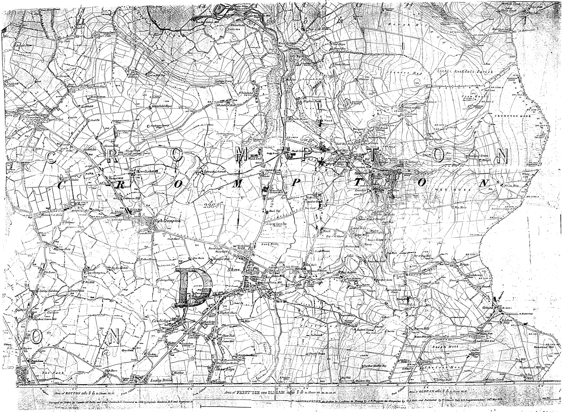
Shaw and Crompton is a civil parish in the Metropolitan Borough of Oldham, Greater Manchester, England, which contains the town of Shaw and lies on the River Beal at the foothills of the South Pennines. It is located north of Oldham, south-east of Rochdale and north-east of Manchester. Historically in Lancashire, the area shows evidence of ancient British and Anglian activity. In the Middle Ages, Crompton formed a small township of scattered woods, farmsteads, moorland and swamp. The local lordship was weak or absent, and so Crompton failed to emerge as a manor with its own lord and court. Farming was the main industry of this rural area, with locals supplementing their incomes by hand-loom woollen weaving in the domestic system. The introduction of textile manufacture during the Industrial Revolution initiated a process of rapid and unplanned urbanisation. A building boom began in Crompton in the mid-19th century, when suitable land for factories in Oldham was becomin ... [...More Info...] [...Related Items...] OR: [Wikipedia] [Google] [Baidu] |
Salford (hundred)
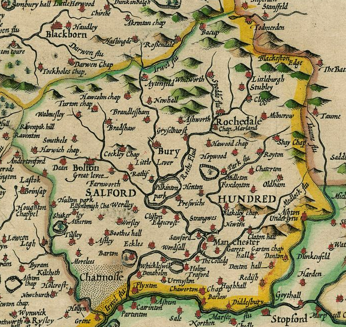
The Salford Hundred (also known as Salfordshire) was one of the subdivisions of the historic county of Lancashire, in Northern England (see:Hundred (county division). Its name alludes to its judicial centre being the township of Salford (the suffix ''-shire'' meaning the territory was appropriated to the prefixed settlement). It was also known as the Royal Manor of Salford and the Salford wapentake.. Origins The Manor or Hundred of Salford had Anglo-Saxon origins. The ''Domesday Book'' recorded that the area was held in 1066 by Edward the Confessor. Salford was recorded as part of the territory of ''Inter Ripam et Mersam'' or "Between Ribble and Mersey", and it was included with the information about Cheshire, though it cannot be said clearly to have been part of Cheshire. The area became a subdivision of the County Palatine of Lancaster (or Lancashire) on its creation in 1182. Salford Hundred Court In spite of its incorporation into Lancashire, Salford Hundred retained a se ... [...More Info...] [...Related Items...] OR: [Wikipedia] [Google] [Baidu] |
Prestwich
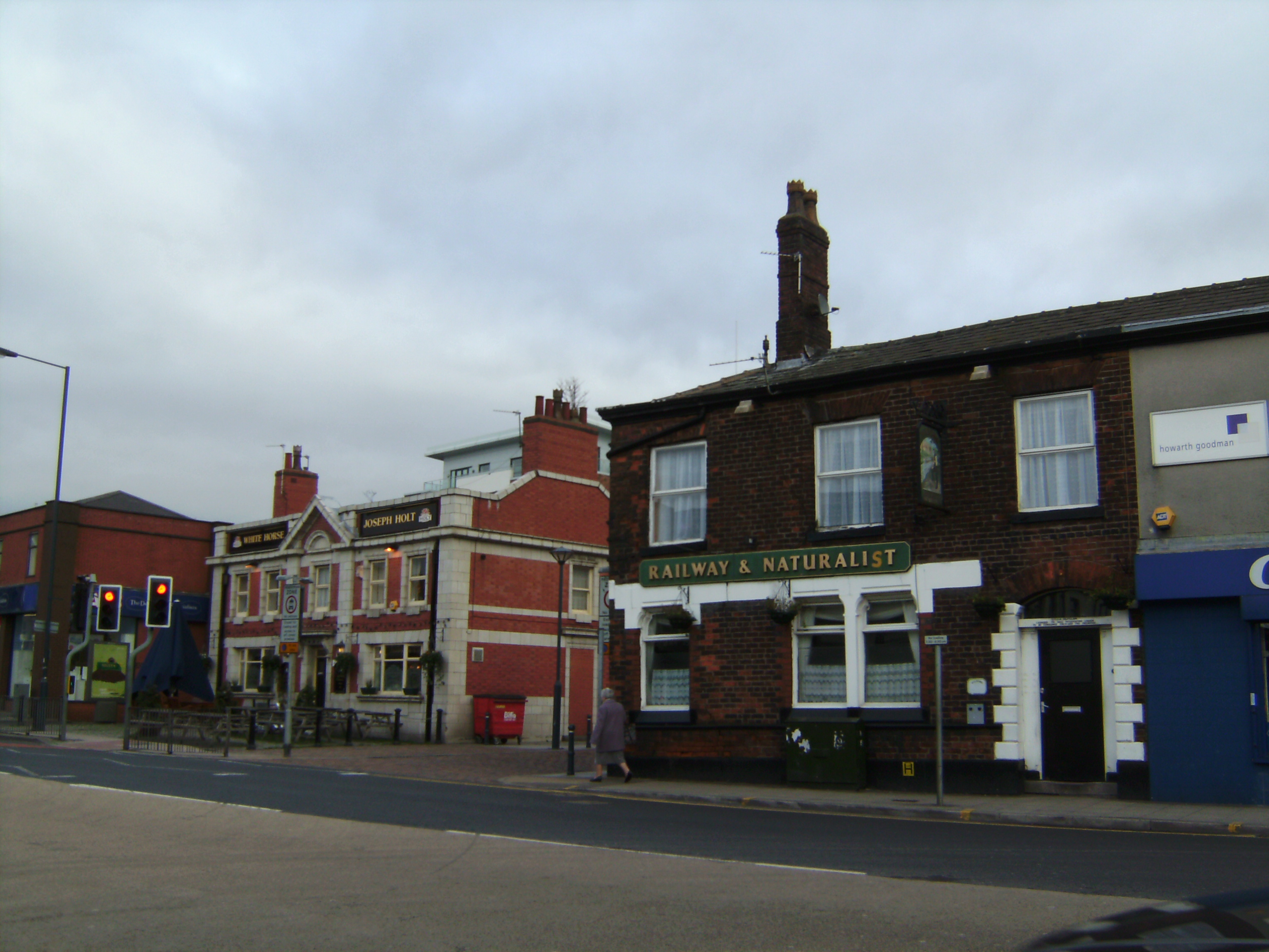
Prestwich ( ) is a town in the Metropolitan Borough of Bury, Greater Manchester, England, north of Manchester city centre, north of Salford and south of Bury. Historically part of Lancashire, Prestwich was the seat of the ancient parish of Prestwich-cum-Oldham, in the hundred of Salfordshire. The Church of St Mary the Virgin—a Grade I listed building—has lain at the centre of the community for centuries. The oldest part of Prestwich, around Bury New Road, is known as Prestwich Village. There is a large Jewish community in Prestwich which, together with neighbouring Whitefield, Cheetham Hill, Crumpsall and Broughton Park, forms the second-largest in the United Kingdom. History Toponymy Prestwich is possibly of Old English origin, derived from ''preost'' and ''wic'', which translates to the priest's farm. Another possible derivation is priest's retreat. Wic was a place-name element derived from the Latin vicus, place. Its most common meaning is dairy-farm. [...More Info...] [...Related Items...] OR: [Wikipedia] [Google] [Baidu] |
Prestwich Cum Oldham
Prestwich ( ) is a town in the Metropolitan Borough of Bury, Greater Manchester, England, north of Manchester city centre, north of Salford and south of Bury. Historically part of Lancashire, Prestwich was the seat of the ancient parish of Prestwich-cum-Oldham, in the hundred of Salfordshire. The Church of St Mary the Virgin—a Grade I listed building—has lain at the centre of the community for centuries. The oldest part of Prestwich, around Bury New Road, is known as Prestwich Village. There is a large Jewish community in Prestwich which, together with neighbouring Whitefield, Cheetham Hill, Crumpsall and Broughton Park, forms the second-largest in the United Kingdom. History Toponymy Prestwich is possibly of Old English origin, derived from ''preost'' and ''wic'', which translates to the priest's farm. Another possible derivation is priest's retreat. Wic was a place-name element derived from the Latin vicus, place. Its most common meaning is dairy-farm. [...More Info...] [...Related Items...] OR: [Wikipedia] [Google] [Baidu] |
Oldham
Oldham is a large town in Greater Manchester, England, amid the Pennines and between the rivers Irk and Medlock, southeast of Rochdale and northeast of Manchester. It is the administrative centre of the Metropolitan Borough of Oldham, which had a population of 237,110 in 2019. Within the boundaries of the historic county of Lancashire, and with little early history to speak of, Oldham rose to prominence in the 19th century as an international centre of textile manufacture. It was a boomtown of the Industrial Revolution, and among the first ever industrialised towns, rapidly becoming "one of the most important centres of cotton and textile industries in England." At its zenith, it was the most productive cotton spinning mill town in the world,. producing more cotton than France and Germany combined. Oldham's textile industry fell into decline in the mid-20th century; the town's last mill closed in 1998. The demise of textile processing in Oldham depressed and heavily ... [...More Info...] [...Related Items...] OR: [Wikipedia] [Google] [Baidu] |
Royton
Royton is a town in the Metropolitan Borough of Oldham, Greater Manchester, England, with a population of 21,284 in 2011. Close to the source of the River Irk, near undulating land at the foothills of the South Pennines, it is northwest of Oldham, southeast of Rochdale and northeast of Manchester. Within the boundaries of the Historic counties of England, historic county of Lancashire, Royton and its surroundings have provided evidence of Britons (historic), ancient British, Roman Britain, Roman and Viking activity in the area.. During the Middle Ages, Royton formed a small Township (England), township centred on Royton Hall, a manor house owned by a long succession of dignitaries which included the Baron Byron, Byrons and Radcliffe Baronets, Radcliffes. A settlement expanded outwards from the hall which, by as late as 1780, "contained only a few straggling and mean-built cottages". Farming was the main industry of this rural area, with locals supplementing their incomes by ... [...More Info...] [...Related Items...] OR: [Wikipedia] [Google] [Baidu] |
Pilkington (ancient Township)
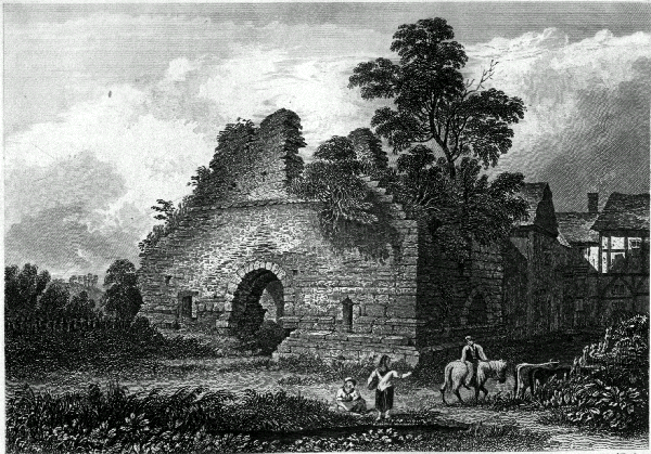
Pilkington was a township in the parish of Prestwich-cum-Oldham, hundred of Salford and county of Lancashire, in northern England. History Manor The Pilkington family can be traced from about 1200. The senior line acquired the manor of Bury when Roger Pilkington who died in about 1347, married Alice Bury. Roger Pilkington and his father, also Roger, were present with Thomas, 2nd Earl of Lancaster, at the Battle of Boroughbridge in 1322. The older Roger was imprisoned and fined, his son secured pardon by undertaking military service abroad. His son Sir Roger Pilkington (1325–1407) served under Henry of Grosmont, 1st Duke of Lancaster in 1355, and under John of Gaunt in 1359–60 and 1369. The Pilkingtons built a house with a moat between 1359 and 1400 and were granted a licence to crenellate the manor house at Bury in 1469 when it became known as Bury Castle. Roger's son Sir John Pilkington (d. 1421) was granted custody of the manors of Prestwich and Alkrington. He married Ma ... [...More Info...] [...Related Items...] OR: [Wikipedia] [Google] [Baidu] |
Radcliffe, Greater Manchester
Radcliffe is a market town in the Metropolitan Borough of Bury, Greater Manchester, England. It lies in the Irwell Valley north-northwest of Manchester and south-west of Bury and is contiguous with Whitefield to the south. The disused Manchester Bolton & Bury Canal bisects the town. Evidence of Mesolithic, Roman and Norman activity has been found in Radcliffe and its surroundings. A Roman road passes through the area, along the border between Radcliffe and Bury. Radcliffe appears in an entry of the Domesday Book as "Radeclive" and in the High Middle Ages formed a small parish and township centred on the Church of St Mary and the manorial Radcliffe Tower, both of which are Grade I listed buildings. Plentiful coal in the area facilitated the Industrial Revolution, providing fuel for the cotton spinning and papermaking industries. By the mid-19th century, Radcliffe was an important mill town with cotton mills, bleachworks and a road, canal and railway network. At the ... [...More Info...] [...Related Items...] OR: [Wikipedia] [Google] [Baidu] |
Alkrington
Alkrington Garden Village is a suburban area of Middleton, in the Metropolitan Borough of Rochdale, Greater Manchester England. Historically a part of Lancashire, in the Middle Ages Alkrington was a township in the parish of Prestwich-cum-Oldham in the hundred of Salford. Once rolling farmland, in 1886 Alkrington was added to the Municipal Borough of Middleton, and developed into a residential area. Alkrington lies on the northern edge of the city of Manchester with the suburb of Blackley directly to the south. The Local Government Act 1972 added Alkrington to the Metropolitan Borough of Rochdale; though Alkrington is separated from the town of Rochdale by the rest of Middleton and rural land. The “Woodside” district of Alkrington is home to a number of affluent properties with Woodfield Road, Middleton's most expensive street, being located here. History In 1212, the manor of Alkrington, consisting of four oxgangs of land, was held by Adam de Prestwich from the Mo ... [...More Info...] [...Related Items...] OR: [Wikipedia] [Google] [Baidu] |
Chadderton
Chadderton is a town in the Metropolitan Borough of Oldham, Greater Manchester, England, on the River Irk and Rochdale Canal. It is located in the foothills of the Pennines, west of Oldham, south of Rochdale and north-east of Manchester. Historically part of Lancashire, Chadderton's early history is marked by its status as a manorial township, with its own lords, who included the Asshetons, Chethams, Radclyffes and Traffords. Chadderton in the Middle Ages was chiefly distinguished by its two mansions, Foxdenton Hall and Chadderton Hall, and by the prestigious families who occupied them. Farming was the main industry of the area, with locals supplementing their incomes by hand-loom woollen weaving in the domestic system. Chadderton's urbanisation and expansion coincided largely with developments in textile manufacture during the Industrial Revolution and the Victorian era. A late-19th century factory-building boom transformed Chadderton from a rural township into a major mi ... [...More Info...] [...Related Items...] OR: [Wikipedia] [Google] [Baidu] |
Great Heaton
Great Heaton (also known as Over Heaton and Heaton Reddish) was a township in the parish of Prestwich-cum-Oldham and hundred of Salford, in Lancashire, England. It was occupied land between Prestwich and Manchester, near Heaton Park. It formed part of the "Manchester poor law Union", 1841–50, but in 1850 was included in "Prestwich poor law Union". It should not be confused with Heaton township, near Bolton, or Heaton Norris township, between Manchester and Stockport. Following the Local Government Act 1894 the township was dissolved and its area divided between the Municipal Borough of Middleton The Municipal Borough of Middleton was, from 1886 to 1974, a municipal borough in the administrative county of Lancashire, England, coterminous with the town of Middleton. Civic history By the nineteenth century the neighbouring townships of Mi ... and Prestwich Urban District. In 1903 the Heaton Park area became part of the city of Manchester. History of Lancashire Areas of M ... [...More Info...] [...Related Items...] OR: [Wikipedia] [Google] [Baidu] |
West Pennine Moors
The West Pennine Moors is an area of the Pennines covering approximately of moorland and Reservoir (water), reservoirs in Lancashire and Greater Manchester, England. It is a Site of Special Scientific Interest. The West Pennine Moors are separated from the main Pennine range by the Irwell Valley to the east. The moorland includes Withnell, Anglezarke and Rivington Moors in the extreme west, Darwen and Turton Moors, Oswaldtwistle#Oswaldtwistle Moor, Oswaldtwistle Moors and Holcombe Moors. These moors are lower in height than the main spine of the South Pennines. At , the highest point is at Winter Hill (North West England), Winter Hill. The area is of historical importance with archaeological evidence of human activity from Neolithic times. The area is close to urban areas, the dramatic backdrop to Bolton, Blackburn and Bury, Greater Manchester, Bury and neighbouring towns affording panoramic views across the Lancashire Plain and the Greater Manchester conurbation. The moorland is ... [...More Info...] [...Related Items...] OR: [Wikipedia] [Google] [Baidu] |
