|
Prachuap Khiri Khan
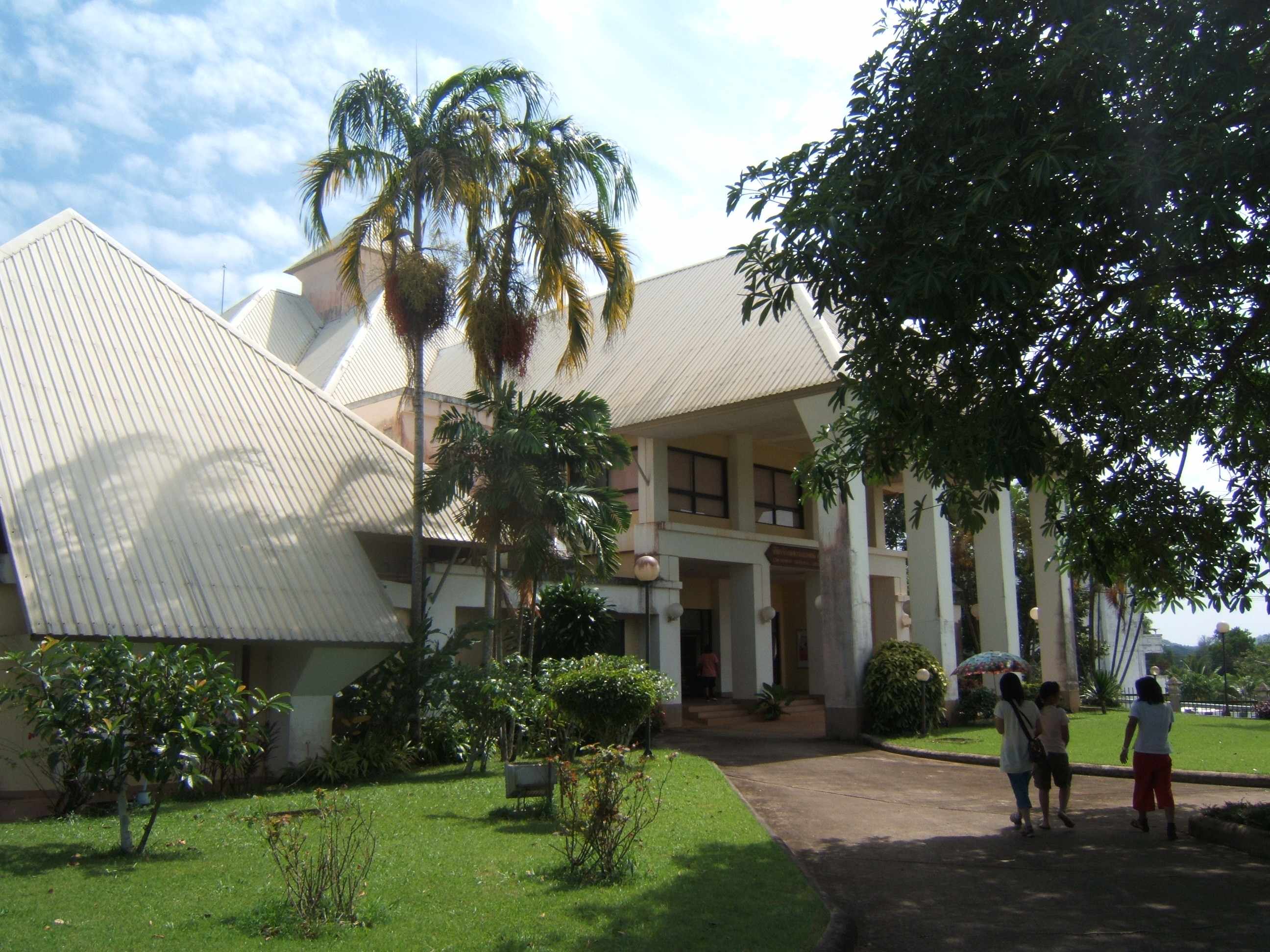
Prachuap Khiri Khan ( th, ประจวบคีรีขันธ์, ) is a town in western Thailand. It is the capital of Prachuap Khiri Khan Province and is on the coast at one of the narrowest stretches in Thailand, only from the border with Myanmar at Dan Sing Khon in the Tenasserim Hills. The area has large pineapple and coconut industries, in addition to being popular with Thai tourists. The town is 291 km south of Bangkok by road. History Prachuap Khiri Khan is home to a Royal Thai Air Force base, and was an invasion point for Japanese troops on 8 December 1941, during World War II. A commemoration is held each December to honour the 38 Thai airmen and civilians who died in the fighting against the Japanese 143rd Infantry Regiment in the Battle of Prachuap Khiri Khan. Climate Prachuap Khiri Khan has a tropical savanna climate (Köppen climate classification ''Aw''). Seasons are not as distinct as in more northerly parts of Thailand; temperatures are quite simi ... [...More Info...] [...Related Items...] OR: [Wikipedia] [Google] [Baidu] |
Dan Sing Khon
Singkhon Pass ( th, ด่านสิงขร), also referred to as Sing Khon and as Maw Daung after the name of the Burmese town west of the border, is a pass across the Tenasserim Hills on the border between Thailand and Myanmar, at an elevation of . The pass is close to the narrowest point of Thailand in Khlong Wan (คลองวาฬ) subdistrict, Mueang Prachuap Khiri Khan District, Prachuap Khiri Khan Province. History Singkhon pass was important during the wars between Siam and the Burmese, and also during World War II, when the Mergui Road was constructed by the Japanese invaders. The pass, on Thai Hwy 1039, about to the west of its junction with Thailand Route 41, was formerly closed, but was informally opened since May 2013 as a result of bilateral agreements. The road on the Burmese side leads to Myeik – via Mawdaung and Tanintharyi Tanintharyi or Taninthayi (widely known during the British occupation and since as Tenasserim) is a small town in Tani ... [...More Info...] [...Related Items...] OR: [Wikipedia] [Google] [Baidu] |
Town
A town is a human settlement. Towns are generally larger than villages and smaller than cities, though the criteria to distinguish between them vary considerably in different parts of the world. Origin and use The word "town" shares an origin with the German word , the Dutch word , and the Old Norse . The original Proto-Germanic word, *''tūnan'', is thought to be an early borrowing from Proto-Celtic *''dūnom'' (cf. Old Irish , Welsh ). The original sense of the word in both Germanic and Celtic was that of a fortress or an enclosure. Cognates of ''town'' in many modern Germanic languages designate a fence or a hedge. In English and Dutch, the meaning of the word took on the sense of the space which these fences enclosed, and through which a track must run. In England, a town was a small community that could not afford or was not allowed to build walls or other larger fortifications, and built a palisade or stockade instead. In the Netherlands, this space was a garden, mor ... [...More Info...] [...Related Items...] OR: [Wikipedia] [Google] [Baidu] |
Tropical Savanna Climate
Tropical savanna climate or tropical wet and dry climate is a tropical climate sub-type that corresponds to the Köppen climate classification categories ''Aw'' (for a dry winter) and ''As'' (for a dry summer). The driest month has less than of precipitation and also less than 100-\left (\frac \right)mm of precipitation. This latter fact is in a direct contrast to a tropical monsoon climate, whose driest month sees less than of precipitation but has ''more'' than 100-\left (\frac \right) of precipitation. In essence, a tropical savanna climate tends to either see less overall rainfall than a tropical monsoon climate or have more pronounced dry season(s). In tropical savanna climates, the dry season can become severe, and often drought conditions prevail during the course of the year. Tropical savanna climates often feature tree-studded grasslands due to its dryness, rather than thick jungle. It is this widespread occurrence of tall, coarse grass (called savanna) which has led to ... [...More Info...] [...Related Items...] OR: [Wikipedia] [Google] [Baidu] |
Krabi
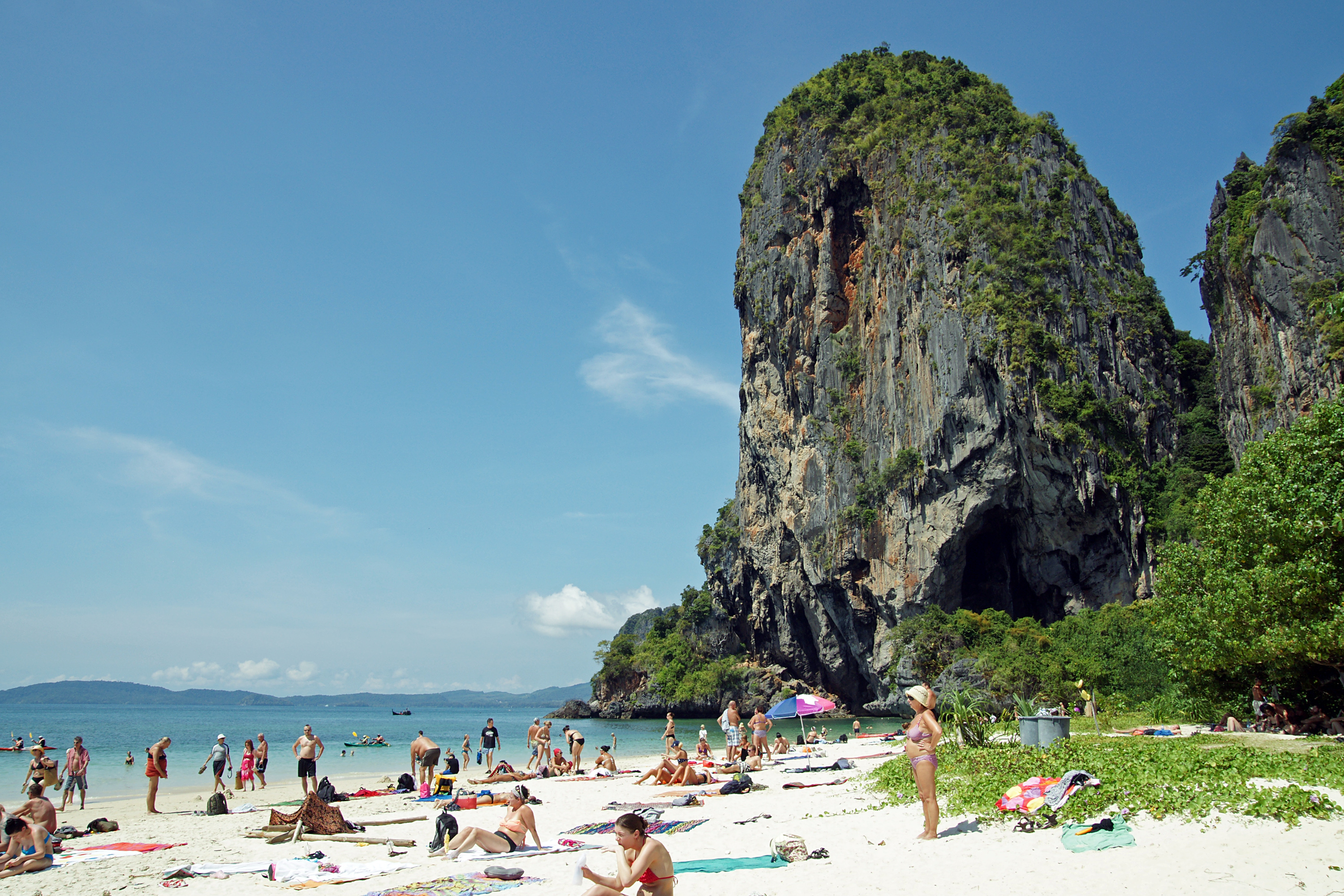
Krabi ( th, กระบี่, ) is the main town in the province of Krabi (''thesaban mueang'') on the west coast of southern Thailand at the mouth of the Krabi River where it empties in Phang Nga Bay. As of 2020, the town had a population of 32,644. The town is the capital of Krabi Province and the 10 Krabi city sub-districts. Tourism is an important industry. Krabi is south of Bangkok by road. History At the start of the Rattanakosin period in the late eighteenth century, when the capital was finally settled at Bangkok, an elephant kraal was established in Krabi by order of Chao Phraya Nakhon (Noi), the governor of Nakhon Si Thammarat, which was by then a part of the Thai Kingdom. He sent his vizier, the Phra Palad, to oversee this task, which was to ensure a regular supply of elephants for the larger town. So many followers immigrated in the steps of the Phra Palad that soon Krabi had a large community in three different boroughs: Pakasai, Khlong Pon, and Pak Lao. In 1 ... [...More Info...] [...Related Items...] OR: [Wikipedia] [Google] [Baidu] |
Phang Nga
Phang Nga ( th, พังงา, , ) is a town (''thesaban mueang'') in southern Thailand, capital of Phang Nga Province. The town covers the whole ''tambon'' Thai Chang of Mueang Phang Nga district. As of 2005 it had a population of 9,559 and covered an area of 6.75 km². Phang Nga is 764 km from Bangkok by road. The municipal administration was created on 11 February 1937. Note that B.E. 2479 ended on March 31. The town is subdivided into nine wards (''chumchon''). #Talat Yai (ตลาดใหญ่) #Borirak Bamrung (บริรักษ์บำรุง) #Samakkhi (สามัคคี) #Thung Chedi (ทุ่งเจดีย์) #Ruamchai Phatthana (ร่วมใจพัฒนา) #Na Krok Khok Ya (นากรอกคอกหญ้า) #Thanon Mai (ถนนใหม่) #Khao Chang (เขาช้าง) #Wang Mokaeng (วังหม้อแกง) Notable people *Teerayoot Suebsil Teerayoot Suebsil is a professional footballer from Thailand. ... [...More Info...] [...Related Items...] OR: [Wikipedia] [Google] [Baidu] |
Ranong
Ranong ( th, ระนองPronunciation) is a town (''thesaban mueang'') in southern Thailand, capital of the Ranong Province and the Mueang Ranong District. The town covers completely the area of the ''tambon'' Khao Niwet (เขานิเวศน์). As of 2005, it had a population of 16,163. Ranong lies south-southwest of Bangkok by road. Geography Ranong is on the estuary of the Pak Chan (or Kraburi) River, opposite Myanmar's Kawthaung (formerly Victoria Point). The Tenasserim Hills rise directly to the east of Ranong, and another small ridge runs along the edge of the estuary to the town's north. Climate Ranong has a tropical monsoon climate (Köppen climate classification ''Am''). There is little variation in the temperature throughout the year, although the pre-monsoon months (February to April) are somewhat hotter in the day. However, Ranong's position to the west of the Tenasserim Hills means that the monsoon season's rains are greatly amplified, resulting in to ... [...More Info...] [...Related Items...] OR: [Wikipedia] [Google] [Baidu] |
Chumphon
Chumphon ( th, ชุมพร, ) is a town (''thesaban mueang'') in southern Thailand, capital of the Chumphon Province and Mueang Chumphon District. The city is about 463 kilometers (288 miles) from Bangkok. As of 2005 it had a population of 33,522. The town covers the commune (''tambon'') Tha Taphao completely and parts of ''tambons'' Bang Mak, Wang Phai, Na Thung, Tak Daet, and Khun Krathing. Its main economic activity is agriculture. History Chumphon volunteers fought invading Japanese during World War II. Chumphon became a rail hub for Imperial Japan. It was a station on the Southern Line and connected to the short-lived Kra Isthmus Railway. No. 27, Part IX Geography Chumphon lies just inland from the west coast of the[...More Info...] [...Related Items...] OR: [Wikipedia] [Google] [Baidu] |
Nakhon Pathom
Nakhon Pathom ( th, นครปฐม, ) is a city (''thesaban nakhon'') in central Thailand, the former capital of Nakhon Pathom province. One of the most important landmarks is the giant Phra Pathommachedi. The city is also home to Thailand's only Bhikkhuni temple Wat Songkhammakalayani, Wat Song Thammakanlayani (), which is also open to women from abroad. Nakhon Pathom houses a campus of Silpakorn University within the former Sanam Chan Palace. The city is 57 km west of Bangkok. According to Charles Higham (archaeologist), Charles Higham, "Two silver medallions from beneath a sanctuary at Nakhon Pathom, the largest of the moated sites, proclaim that it was 'the meritorious work of the King of Sri Dvaravati', the Sanskrit term Dvaravati meaning 'that which has gates'. The script is in south Indian characters of the seventh century." Nakhon Pathom was the largest Dvaravati center.Higham, Charles., 2014, ''Early Mainland south-east Asia'', Bangkok: River Books Co., Ltd., ... [...More Info...] [...Related Items...] OR: [Wikipedia] [Google] [Baidu] |
Ratchaburi
Ratchaburi ( th, ราชบุรี, ) or Rajburi, Rat Buri) is a town (''thesaban mueang'') in western Thailand, capital of Ratchaburi Province. Ratchaburi town covers the entire ''tambon'' Na Mueang (หน้าเมือง) of Mueang Ratchaburi District. As of 2017 it had an estimated population of 36,169, down from 38,149 in 2005. History The earliest evidence of settled habitation is that of the Dvaravati culture. At one time it was thought that the early town was founded on the coast of the Gulf of Thailand, and that over time the coast had moved 30 km (18 miles) away to the south, due to sedimentation coming down the Mae Klong River. However, geological and palynological investigation has shown that these early Dvaravati and proto-Dvaravati towns were all inland, at the edges of swamps when founded. Ratchaburi remains an important commercial centre, however. Archeological discoveries show that the area was already settled in the Bronze Age, and the town itself is ... [...More Info...] [...Related Items...] OR: [Wikipedia] [Google] [Baidu] |
Phetchaburi
Phetchaburi ( th, เพชรบุรี, ) or Phet Buri () is a town (''thesaban mueang'') in southern Thailand, capital of Phetchaburi Province. In Thai, Phetchaburi means "city of diamonds" (''buri'' meaning "city" in Sanskrit). It is approximately 160 km south of Bangkok, at the northern end of the Thai peninsula. As of 2005, the town had a population of 26,181 and covers the two ''tambon'' Tha Rap and Khlong Krachaeng. The runs through the middle of the city. The region is mostly flat, save for a single hill (called ''Khao Wang'') on the outskirts of town. The royal palace named |
Phetkasem Road
Phet Kasem Road (, , )ราชบัณฑิตยสถาน. ''อ่านอย่างไร และ เขียนอย่างไร ฉบับราชบัณฑิตยสถาน.'' พิมพ์ครั้งที่ 22. กรุงเทพฯ : ราชบัณฑิตยสถาน, 2557, p. 58. or Highway 4 (, ) is one of the four primary highways in Thailand, along with Phahonyothin Road (Highway 1), Mittraphap Road (Highway 2), and Sukhumvit Road (Highway 3). At 1,274 km, route 4 is the longest highway in Thailand. History left, Bang Phai MRT Station and Phet Kasem Road (outbound) that run through The construction of the road was finished in 1950 and was named "Phet Kasem" on December 10, 1950 in honour Luang Phet Kasemwithisawasdi (Tham Phetkasem), formerly the seventh director deputy general of the State Highways Department. Before that, it had been called "Bangkok–Khlong Phruan Road" (ถนนกรุงเทพ–คลอ ... [...More Info...] [...Related Items...] OR: [Wikipedia] [Google] [Baidu] |
.jpg)


