|
Port Waikato (New Zealand Electorate)
Port Waikato is a New Zealand parliamentary New Zealand electorates, electorate which existed for four parliamentary terms from 1996 to 2008, and was recreated by the 2019/20 electoral redistribution ahead of the 2020 New Zealand general election, 2020 election. It was held by Bill Birch for one term, and by Paul Hutchison for the following three terms; both were members of the New Zealand National Party, National Party. Population centres The was notable for the significant change of electorate boundaries, based on the provisions of the Electoral Act 1993. Because of the introduction of the Mixed-member proportional representation, mixed-member proportional (MMP) electoral system, the number of electorates had to be reduced, leading to significant changes. More than half of the electorates contested in 1996 were newly constituted, and most of the remainder had seen significant boundary changes. In total, 73 electorates were abolished, 29 electorates were newly created (includin ... [...More Info...] [...Related Items...] OR: [Wikipedia] [Google] [Baidu] |
New Zealand House Of Representatives
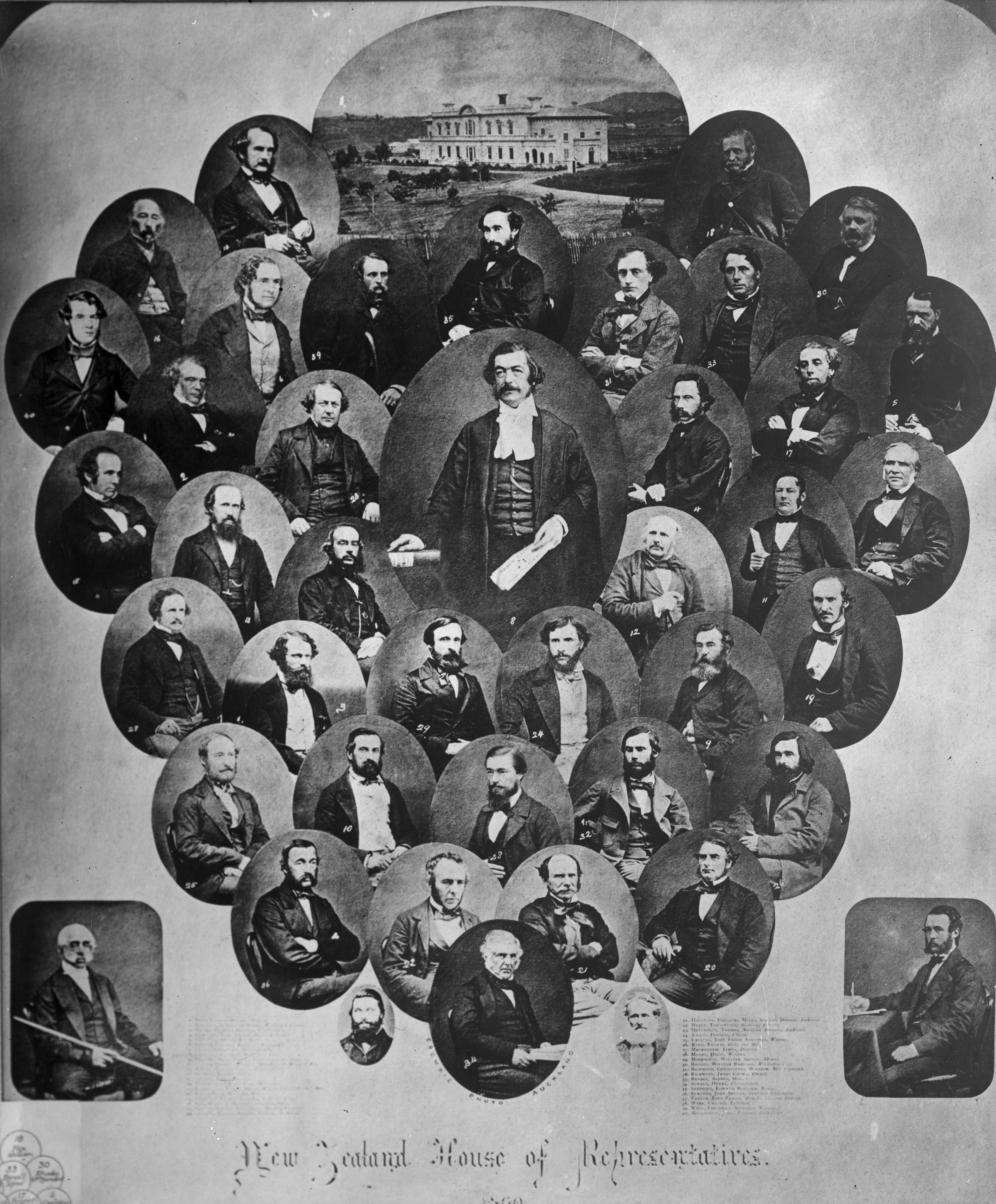
The House of Representatives is the sole chamber of the New Zealand Parliament. The House passes Law of New Zealand, laws, provides Ministers of the New Zealand Government, ministers to form Cabinet of New Zealand, Cabinet, and supervises the work of government. It is also responsible for adopting the state's New Zealand Budget, budgets and approving the state's accounts. The House of Representatives is a Representative democracy, democratic body consisting of representatives known as members of parliament (MPs). There are normally 120 MPs, though this number can be higher if there is an Overhang seat, overhang. Elections in New Zealand, Elections take place usually every three years using a mixed-member proportional representation system which combines First-past-the-post voting, first-past-the-post elected legislative seat, seats with closed party lists. 72 MPs are elected directly in single-member New Zealand electorates, electoral districts and further seats are filled by ... [...More Info...] [...Related Items...] OR: [Wikipedia] [Google] [Baidu] |
Otaua, Waikato
Otaua is a rural settlement in the Waikato District and Waikato region of New Zealand's North Island. It is located south of Waiuku and west of Aka Aka, on the northern side of the Waikato River. The Otaua area includes the Waikato North Head on the northern side of the Waikato River mouth, opposite Port Waikato to the south. The Waikato North Head ironsand mine, just south of the settlement, produces up to 1.2 million tonnes of ironsand a year, for use in the New Zealand Steel mill at Glenbrook. The deposit is estimated to contain more than 150 million tonnes in total. The ironsand is processed on-site with a series of separation processes with river water, before the slurry is pumped to the Glenbrook mill through an 18-kilometre underground pipe. The name ''Otaua'' is a contraction of ''Te Takanga-o-Tauaiwi'', a reference to the falling of Tauaiwi, a descendant of Hotonui of the Tainui waka. Tauiwi was killed at Otaua by Tāmaki Māori and his body fell into a disused pit. Hi ... [...More Info...] [...Related Items...] OR: [Wikipedia] [Google] [Baidu] |
Orini
Orini is a rural community in the Waikato District and Waikato region of New Zealand's North Island. It is located east of Taupiri Orini is centred around a community hall which was opened in 1913, which was rebuilt in 1937 following a fire. It also has a school, which had 81 pupils in 1939. A post office opened in 1907. A creamery was running in 1911. A cheese factory opened in 1915, and was still operating in 1932. The stream bridge between Orini and Whitikahu was built in 1938. By 1950 the Orini telephone exchange had 123 subscribers. The Mangawara area to the west was a Kauri gum digging area until 1983. It also had a creamery and a post office by 1910. Te Hoe, to the north, had a school between 1912 and 1995. It had a post office and store and still has a hall, which was built in 1957. History From the 1600s: Ngati Koura and Ngati Wairere Waikai occupied the area, mainly for eel fishing. An old waka was discovered in 1937. After the invasion of the Waikato, the area was ... [...More Info...] [...Related Items...] OR: [Wikipedia] [Google] [Baidu] |
Onewhero
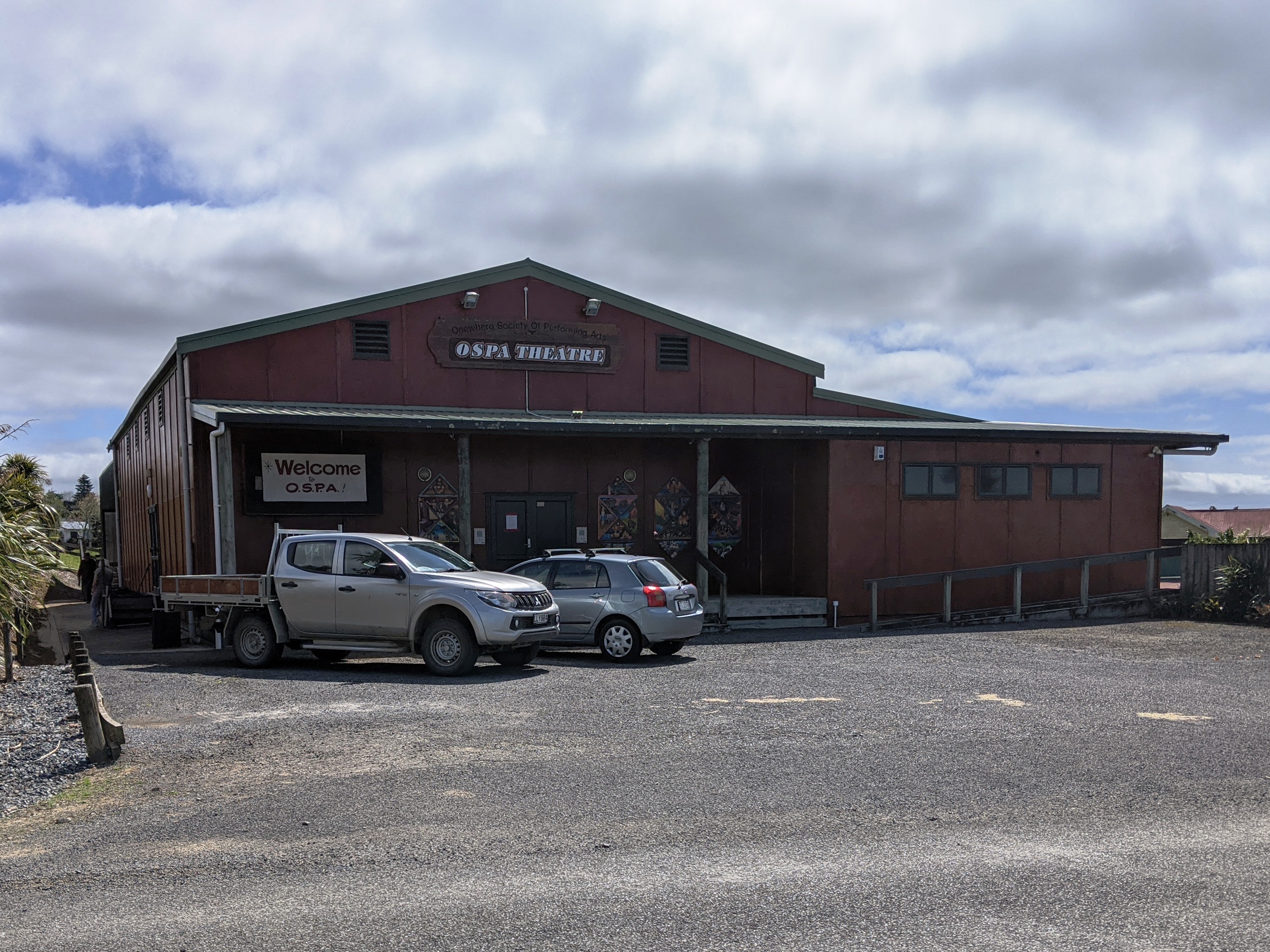
Onewhero is a village and rural community in the Waikato District and Waikato region of New Zealand's North Island. Pukekohe and Tuakau are located north of Onewhero, across the Waikato River; The name Onewhero translates from Maori as "Red Earth", which describes the soil colour typical in the Franklin region. The Onewhero village consists of an Anglican church, school, fire station, garage, lawn bowls club and tennis club. The Onewhero Society of Performing Arts runs a local performing arts theatre, and the local rugby club hosts community events and community board meetings. The Onewhero Golf Club is located in nearby Pukekawa. The local Te Awamaarahi marae is a meeting ground for the Waikato Tainui hapū of Ngāti Āmaru, Ngāti Pou and Ngāti Tiipa. It includes the ''wharenui'' (meeting house) of Whare Wōnanga. North of Onewhero, Harker Reserve has (or 20m) high Te Wai Heke O Maoa, or Vivian Falls, and a bush walkway. It is near the end of Miller Rd. The water ... [...More Info...] [...Related Items...] OR: [Wikipedia] [Google] [Baidu] |
Ohinewai
Ohinewai or Ōhinewai is a small settlement in the Waikato Region, in New Zealand. It is located on the east bank of the Waikato River on SH1, 9 km north of Huntly The name is Māori for "girl's water place" (''o'' = place of, ''hine'' = girl, ''wai'' = water), or, more likely, "place of Hinewai", Hinewai being a female personal name. In July 2019, bed manufacturer Comfort Group announced its intention to create an affordable housing estate in Ohinewai. It has purchased 176ha of land with the intention of developing 1100 homes. Marae The local marae, Matahuru Papakainga, is a traditional meeting ground for the Waikato Tainui hapū of Ngāti Makirangi, Ngāti Mahuta and Ngāti Naho, and the Ngāpuhi hapū of Ngāti Hine. In October 2020, the Government committed $2,584,751 from the Provincial Growth Fund to upgrade the marae and 7 other Waikato Tainui Waikato Tainui, Waikato or Tainui is a group of Māori ''iwi'' based in Waikato Region, in the western central region ... [...More Info...] [...Related Items...] OR: [Wikipedia] [Google] [Baidu] |
Meremere
Meremere is a small town in the northern Waikato region in the North Island of New Zealand. It is located on the east bank of the Waikato River, 50 kilometres north of Hamilton and 63 km south of Auckland. Meremere was the site of fighting in 1863 during the New Zealand Wars, at which time the settlement (then known as Mere Mere) was the site of a Māori defensive outpost. For a number of years a coal-fired power station operated in Meremere, and much of the workforce lived in the town. The station was the first government-built large scale thermal power station, opening in 1958 and was a notable landmark for travellers along State Highway 1, which runs past the town. An aerial ropeway carried buckets of coal to the station from the Maramarua coal mine. The station closed in 1991 and there were plans during the 1990s to convert the station into a waste to energy plant, using waste from Auckland. These plans, known as the Olivine project, did not eventuate. The site was u ... [...More Info...] [...Related Items...] OR: [Wikipedia] [Google] [Baidu] |
Horotiu, Waikato
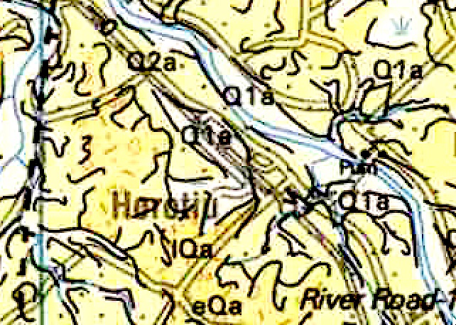
Horotiu is a small township on the west bank of the Waikato River in the Waikato District of New Zealand. It is on the Waikato Plains north of Hamilton and south of Ngāruawāhia. From early in the 20th century it developed around a freezing works and other industries. The North Island Main Trunk railway runs through the town, as did State Highway 1 until opening of part of the Waikato Expressway in 2013. An hourly bus runs between Huntly and Hamilton. Name The name, Horotiu, seems to have been used interchangeably with Waikato River, or Pukete. Its first use for the current township seems to occur in 1864, shortly after the invasion of the Waikato. Until then, Horotiu was the name of the upper Waikato river, where its current became faster and of Horotiu pā, on its banks, near Cambridge. An 1858 map only shows the name as Horotiu Plains in the area near the pā. The name, Horotiu, for the Waikato River, upstream from Ngāruawāhia, seems to have remained in use until the ... [...More Info...] [...Related Items...] OR: [Wikipedia] [Google] [Baidu] |
Glenbrook, New Zealand
Glenbrook is a rural and industrial area in the Auckland region of New Zealand. The industrial area, that of New Zealand's major steel mill, New Zealand Steel, is not located close to any towns - the surrounding countryside is occupied by farms. The nearest towns are Waiuku, five kilometres to the south, and Pukekohe, 15 kilometres to the east. Glenbrook's other claim to fame is the Glenbrook Vintage Railway. History Construction of the Glenbrook Steel Mill began in 1967. Glenbrook was chosen as the site due to the area's proximity to the Waikato North Head ironsand mine and the Huntly Power Station. Demographics Glenbrook statistical area, which includes Glenbrook Beach, covers and had an estimated population of as of with a population density of people per km2. Glenbrook had a population of 2,193 at the 2018 New Zealand census, an increase of 159 people (7.8%) since the 2013 census, and an increase of 219 people (11.1%) since the 2006 census. There were 741 househo ... [...More Info...] [...Related Items...] OR: [Wikipedia] [Google] [Baidu] |
Glen Murray, New Zealand
Glen Murray is a rural community in the Waikato District and Waikato region of New Zealand's North Island, on Highway 22, about up the Tikotiko Stream from Lake Whangape. In 2013 the population of meshblock 0846601, which includes Glen Murray, was 42. It has a garage and a War Memorial Hall, which opened in 1952. It is named after William Murray, who moved from Piako in 1885. Te Poho o Tanikena Marae is the meeting place of the local Waikato Tainui hapū of Ngāti Tāhinga, Ngāti Taratikitiki and Tainui Hapū. It includes a meeting house of the same name. History Glen Murray was settled by Ngāti Tipa. In 1864 the area was described as inaccessible to the British troops in the Invasion of the Waikato, due to the swamps and bush. However, by 1866 it was in the confiscated area. By 1868 large parcels of land had been surveyed. As part of a policy of opening up land for settlement under the deferred payment scheme, the Government built bridleways from the Waikato River ... [...More Info...] [...Related Items...] OR: [Wikipedia] [Google] [Baidu] |


