|
Ponce De Leon Avenue
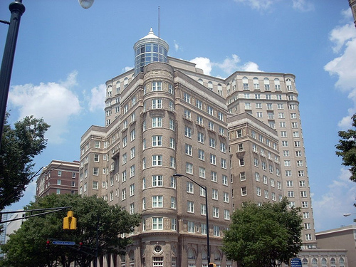
Ponce de Leon Avenue ( ), often simply called Ponce, provides a link between Atlanta, Decatur, Clarkston, and Stone Mountain, Georgia. It was named for Ponce de Leon Springs, in turn from explorer Juan Ponce de León, but is not pronounced as in Spanish. Several grand and historic buildings are located on the avenue. History The original street extended eastward from Peachtree Street and was called Ponce de Leon Circle. In August 1872, a horsecar line that went from downtown Atlanta up Peachtree to Pine, was extended to Ponce de Leon Circle. At some point later, it was extended to Ponce de Leon Springs, where the Ponce de Leon amusement park would be built; today, Ponce City Market (formerly the Sears building, then City Hall East) stands on the site. Finally in 1889, the line was electrified and extended with the "loop" around what is now Virginia-Highland. West of Peachtree Street were Kimball Street and 2nd Street, portions of which were renamed Ponce de Leon ... [...More Info...] [...Related Items...] OR: [Wikipedia] [Google] [Baidu] |
DeKalb County, Georgia
DeKalb County (, , ) is located in the north central portion of the U.S. state of Georgia. As of the 2020 census, the population was 764,382, making it Georgia's fourth-most populous county. Its county seat is Decatur. DeKalb County is included in the Atlanta-Sandy Springs-Roswell, GA Metropolitan Statistical Area. It contains roughly 10% of the city of Atlanta (the other 90% lies in Fulton County). DeKalb is primarily a suburban county. In 2009, DeKalb earned the Atlanta Regional Commission's "Green Communities" designation for its efforts in conserving energy, water and fuel, investing in renewable energy, reducing waste, and protecting and restoring natural resources. In 2021, the non-profit American Rivers named DeKalb's South River the fourth-most endangered river in the United States, citing "the egregious threat that ongoing sewage pollution poses to clean water and public health." In recent years, some communities in North DeKalb have incorporated, following a tre ... [...More Info...] [...Related Items...] OR: [Wikipedia] [Google] [Baidu] |
Williams Street
Williams Street Productions, LLC, d/b/a Williams Street and formerly known as Ghost Planet Industries, is an American animation and live action television production studio owned by the Warner Bros. Television Studios division of Warner Bros., a unit of Warner Bros. Discovery. The studio is the in-house production arm of Adult Swim (the programming block on Cartoon Network). Mike Lazzo and Keith Crofford oversaw operations for the building for most of its existence. In December 2019, co-founder Lazzo retired from the company, with business partner and co-founder Crofford retiring the following year. Michael Ouweleen was named president in 2020. Name and logo The current name of the company originates from the location of its headquarters building – which is also the home office for Adult Swim – at 1065 Williams Street NW in Atlanta, Georgia near the current offices of TBS and TNT on Techwood Drive. The facility began as a carpet factory and was purchased by Turner as o ... [...More Info...] [...Related Items...] OR: [Wikipedia] [Google] [Baidu] |
Downtown Connector
In Downtown Atlanta, the Downtown Connector or 75/85 (pronounced "seventy-five eighty-five") is the concurrent section of Interstate 75 and Interstate 85 through the core of the city. Beginning at the I-85/ Langford Parkway interchange, the Downtown Connector runs generally due north, meeting the west–east I-20 in the middle. Just north of this is the Grady Curve around Grady Memorial Hospital. Continuing north, the terminus of the Downtown Connector is the Brookwood Interchange or Brookwood Split in the Brookwood area of the city. The overall length of the Downtown Connector is approximately . Since the 2000s, it has been officially named James Wendell George Parkway for most of its length, although it is still designated the Connector in the mainstream. It also has unsigned designations State Route 401 (I-75) and State Route 403 (I-85) along its length, due to I-75 and I-85 having 400-series reference numbers. Route description The Downtown Connector carries more ... [...More Info...] [...Related Items...] OR: [Wikipedia] [Google] [Baidu] |
Midtown Atlanta
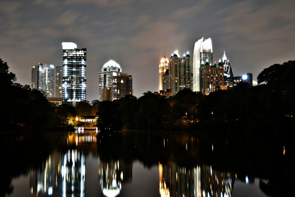
Midtown Atlanta, or Midtown, is a high-density commercial and residential neighborhood of Atlanta, Georgia. The exact geographical extent of the area is ill-defined due to differing definitions used by the city, residents, and local business groups. However, the commercial core of the area is anchored by a series of high-rise office buildings, condominiums, hotels, and high-end retail along Peachtree Street between North Avenue and 17th Street. Midtown, situated between Downtown to the south and Buckhead to the north, is the second-largest business district in Metro Atlanta. In 2011, Midtown had a resident population of 41,681 and a business population of 81,418. Midtown has the highest density of art and cultural institutions in the Southeast, notably including the Fox Theatre, Woodruff Arts Center, the High Museum of Art, the Center for Puppetry Arts, the Atlanta Symphony Orchestra, and the Museum of Design Atlanta. Midtown attracts more than 6 million visitors annua ... [...More Info...] [...Related Items...] OR: [Wikipedia] [Google] [Baidu] |
Sam Venable
The Venable Brothers was a business venture formed by brothers William Hoyt Venable (1852–1905) and Samuel Hoyt Venable (1856–1939) in DeKalb County, Georgia. The brothers owned rock quarries. Sam Venable was involved in the resurgence of the Ku Klux Klan and in the creation of the Confederate memorial on Stone Mountain, Georgia.Historic Dekalb County: An Illustrated History By Vivian Price page 49-51 He owned Stone Mountain, where a was held in 1915, and granted the Klan an |
Old Fourth Ward
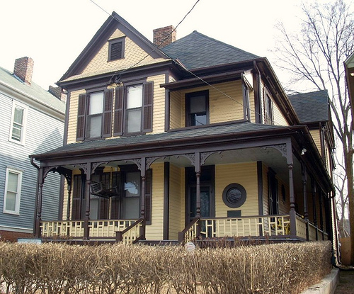
The Old Fourth Ward, often abbreviated O4W, is an intown neighborhood on the eastside of Atlanta, Georgia, United States. The neighborhood is best known as the location of the Martin Luther King Jr. historic site. Geography The Old Fourth Ward's borders: * West: Piedmont Avenue, across which is Downtown Atlanta * East: the BeltLine, across which are Poncey–Highland and Inman Park * North: Ponce de Leon Avenue, across which is Midtown Atlanta * South: MARTA Green Line and Oakland Cemetery, across which are Grant Park and Cabbagetown The exception is the area west of Boulevard and south of Freedom Parkway which, although historically part of Atlanta's Fourth Ward (see Atlanta annexations and wards), is considered a separate recognized neighborhood called Sweet Auburn. The neighborhood can be divided into three areas, with Freedom Parkway and Boulevard serving as dividing lines. Northeast The area north of Freedom Parkway and east of Boulevard is one of the city's ... [...More Info...] [...Related Items...] OR: [Wikipedia] [Google] [Baidu] |
Ansley Park
Ansley Park is an intown residential district in Atlanta, Georgia, located just east of Midtown and west of Piedmont Park. When developed in 1905-1908, it was the first Atlanta suburban neighborhood designed for automobiles, featuring wide, winding roads rather than the grid pattern typical of older streetcar suburbs. Streets were planned like parkways with extensive landscaping, while Winn Park and McClatchey Park are themselves long and narrow, extending deep into the neighborhood. Ansley Golf Club borders the district. The neighborhood was largely completed by 1930 and covers . It has been designated a Historic District on the National Register of Historic Places. In 2008, the median household income for the neighborhood was $226,335. To the immediate east of the golf course is the Eastside Trail interim hiking trail, part of the BeltLine ring of parks and trails around the central city. History The area was developed by rail and real estate magnate Edwin P. Ansley, while ... [...More Info...] [...Related Items...] OR: [Wikipedia] [Google] [Baidu] |
Buckhead (Atlanta)
Buckhead is the uptown commercial and residential district of the city of Atlanta, Georgia, comprising approximately the northernmost fifth of the city. Buckhead is the third largest business district within the Atlanta city limits, behind Downtown and Midtown, a major commercial and financial center of the Southeast. Buckhead is anchored by a core of high-rise office buildings, hotels, shopping centers, restaurants and condominiums centered around the intersection of Peachtree Road and Piedmont Road near Georgia State Route 400, the Buckhead MARTA station, and Lenox Square. History In 1838, Henry Irby purchased 202 1/2 acres surrounding the present intersection of Peachtree, Roswell, and West Paces Ferry roads from Daniel Johnson for $650. Irby subsequently established a general store and tavern at the northwest corner of the intersection. The name "Buckhead" comes from a story that Irby killed a large buck deer and placed the head in a prominent location. Prior to thi ... [...More Info...] [...Related Items...] OR: [Wikipedia] [Google] [Baidu] |
Druid Hills
Druid Hills is a community which includes both a census-designated place (CDP) in unincorporated DeKalb County, Georgia, United States, as well as a neighborhood of the city of Atlanta. The CDP's population was 14,568 at the 2010 census. The CDP formerly contained the main campus of Emory University and the Centers for Disease Control and Prevention (CDC) however they were annexed by Atlanta in 2018. The Atlanta-city section of Druid Hills is one of Atlanta's most affluent neighborhoods with a mean household income in excess of $238,500 (making it the ninth most affluent, per that metric). History The planned community was initially conceived by Joel Hurt, and developed with the effort of Atlanta's leading families, including Coca-Cola founder Asa Candler. It contains some of Atlanta's historic mansions from the late 19th and early 20th century. Druid Hills includes the main campus of Emory University, which relocated to Atlanta in 1914. Druid Hills was designed by Frederick ... [...More Info...] [...Related Items...] OR: [Wikipedia] [Google] [Baidu] |
Atlanta Annexations
From its incorporation in 1847, the municipal boundaries of Atlanta, Georgia, United States, were extended repeatedly from a small area around its railroad station to today's city covering . Prior to 1954, Atlanta was divided into political divisions called wards. The number of wards were increased as the city grew. List of annexations Annexations by year 1847 City is incorporated — city limits are a radius from the zero mile marker of the Western & Atlantic Railroad. City covers , . 1854 The 1848 charter only specified election of six citywide councilmembers, but on January 9, 1854, an ordinance was adopted that divided the town into five wards and two councilmen from each ward would be elected to coincide with the completion of the first official city hall. The next election with the new rules on January 15, 1855, decided those first Ward bosses who would serve with the short-term mayor, Allison Nelson. The boundaries were as follows: *First (yellow): all land west ... [...More Info...] [...Related Items...] OR: [Wikipedia] [Google] [Baidu] |


