|
Pokemouche River
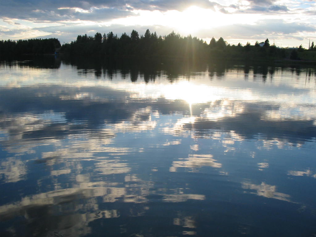
The Pokemouche River is in north eastern New Brunswick, Canada. The name is derived from the Algonquin language. Its headwaters are near the community of Paquetville, and it flows in an easterly direction approximately twenty kilometers where it empties into the Gulf of St. Lawrence at Inkerman Lake. Other communities along its watershed include Maltampec and Pokemouche. Its tributaries include South Branch Pokemouche River, Cowans Creek, and the Waugh River. See also *List of rivers of New Brunswick This is a List of bodies of water in the Canadian province of New Brunswick, including waterfalls. New Brunswick receives precipitation year-round, which feeds numerous streams and rivers. There are two main discharge basins: the Gulf of Saint La ... Rivers of New Brunswick {{NewBrunswick-river-stub ... [...More Info...] [...Related Items...] OR: [Wikipedia] [Google] [Baidu] |
New Brunswick
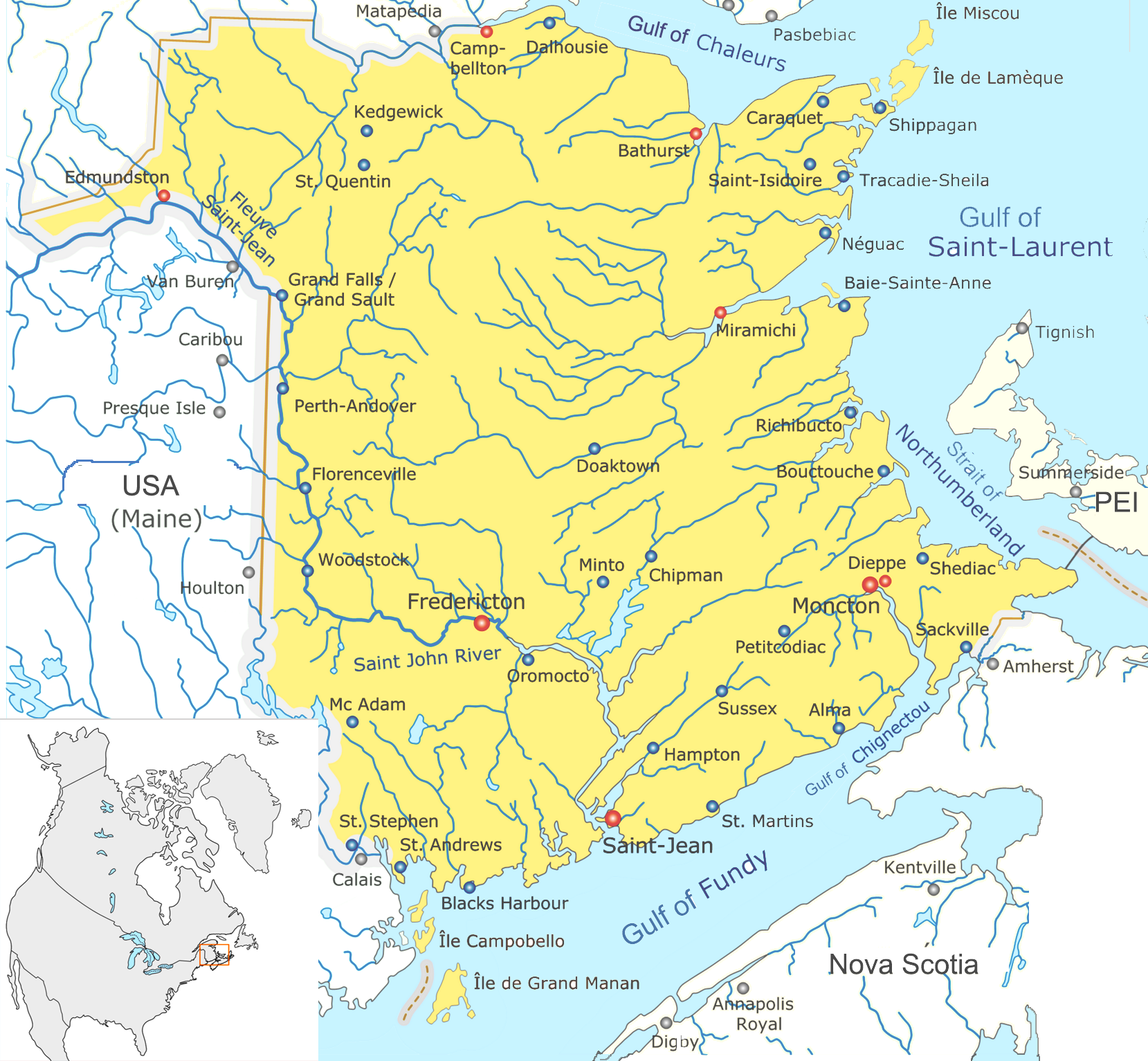
New Brunswick (french: Nouveau-Brunswick, , locally ) is one of the thirteen provinces and territories of Canada. It is one of the three Maritime provinces and one of the four Atlantic provinces. It is the only province with both English and French as its official languages. New Brunswick is bordered by Quebec to the north, Nova Scotia to the east, the Gulf of Saint Lawrence to the northeast, the Bay of Fundy to the southeast, and the U.S. state of Maine to the west. New Brunswick is about 83% forested and its northern half is occupied by the Appalachians. The province's climate is continental with snowy winters and temperate summers. New Brunswick has a surface area of and 775,610 inhabitants (2021 census). Atypically for Canada, only about half of the population lives in urban areas. New Brunswick's largest cities are Moncton and Saint John, while its capital is Fredericton. In 1969, New Brunswick passed the Official Languages Act which began recognizing French as an ... [...More Info...] [...Related Items...] OR: [Wikipedia] [Google] [Baidu] |
Paquetville, New Brunswick
Paquetville is an unincorporated community in Gloucester County, New Brunswick, Canada. It held village status prior to 2023. It is on the Acadian Peninsula at the intersection of Route 340, Route 135 and Route 350. History Paquetville was founded by Monseigneur Paquet in 1873, who brought several parishioners with him from Shippagan. On 1 January 2023, Paquetville amalgamated with the village of Saint-Isidore and all or part of six local service districts to form the new town of Hautes-Terres. The community's name remains in official use. Demographics In the 2021 Census of Population conducted by Statistics Canada, Paquetville had a population of living in of its total private dwellings, a change of from its 2016 population of . With a land area of , it had a population density of in 2021. Language Notable people The village is the home of Édith Butler Édith Butler (born Marie Nicole Butler, 27 July 1942) is an Acadian-Canadian singer-songwriter an ... [...More Info...] [...Related Items...] OR: [Wikipedia] [Google] [Baidu] |
Gulf Of St
A gulf is a large inlet from the ocean into the landmass, typically with a narrower opening than a bay, but that is not observable in all geographic areas so named. The term gulf was traditionally used for large highly-indented navigable bodies of salt water that are enclosed by the coastline. Many gulfs are major shipping areas, such as the Persian Gulf, Gulf of Mexico, Gulf of Finland, and Gulf of Aden The Gulf of Aden ( ar, خليج عدن, so, Gacanka Cadmeed 𐒅𐒖𐒐𐒕𐒌 𐒋𐒖𐒆𐒗𐒒) is a deepwater gulf of the Indian Ocean between Yemen to the north, the Arabian Sea to the east, Djibouti to the west, and the Guardafui Channe .... See also * References External links * {{Authority control Bodies of water Coastal and oceanic landforms Coastal geography Oceanographical terminology ... [...More Info...] [...Related Items...] OR: [Wikipedia] [Google] [Baidu] |
Inkerman Lake, New Brunswick
Inkerman ( uk, Інкерман, russian: Инкерман, crh, İnkerman) is a city in the Crimean peninsula. It is ''de facto'' within the federal city of Sevastopol within the Russian Federation, but ''de jure'' within Ukraine. It lies 5 kilometres east of Sevastopol, at the mouth of the Chernaya River which flows into Sevastopol Inlet (also called the North Inlet). Administratively, Inkerman is subordinate to the municipality of Sevastopol which does not constitute part of the Autonomous Republic of Crimea. Population: The name ''Inkerman'' is said to mean "cave fortress" in Turkish. Compare: Turkish ''in'' (cave, burrow); Turkish ''kermen'' (fortress). During the Soviet era the area was known between 1976 and 1991 as ''Bilokamiansk'' ( uk, Білокам'янськ) or ''Belokamensk'' (russian: Белокаменск), which literally means "White Stone City", in reference to the soft white stone quarried in the area and commonly used for construction. In 1991 the ... [...More Info...] [...Related Items...] OR: [Wikipedia] [Google] [Baidu] |
Drainage Basin
A drainage basin is an area of land where all flowing surface water converges to a single point, such as a river mouth, or flows into another body of water, such as a lake or ocean. A basin is separated from adjacent basins by a perimeter, the '' drainage divide'', made up of a succession of elevated features, such as ridges and hills. A basin may consist of smaller basins that merge at river confluences, forming a hierarchical pattern. Other terms for a drainage basin are catchment area, catchment basin, drainage area, river basin, water basin, and impluvium. In North America, they are commonly called a watershed, though in other English-speaking places, "watershed" is used only in its original sense, that of a drainage divide. In a closed drainage basin, or endorheic basin, the water converges to a single point inside the basin, known as a sink, which may be a permanent lake, a dry lake, or a point where surface water is lost underground. Drainage basins are similar ... [...More Info...] [...Related Items...] OR: [Wikipedia] [Google] [Baidu] |
Maltampec, New Brunswick
Inkerman is a civil parish in Gloucester County, New Brunswick, Canada. For governance purposes it is divided between the Regional Municipality of Tracadie, the Pokemouche 13 Indian reserve, and the local service districts of Evangéline, Inkerman Centre, Landry Office, Maltempec, and Pokemouche, all of which except the Indian reserve are members of the Acadian Peninsula Regional Service Commission (APRSC). The local service district of the same name, which included only part of the parish, was incorporated into the Regional Municipality of Grand Tracadie–Sheila on July 1, 2014, causing some misunderstanding of its status. Origin of name The parish is named after the Battle of Inkerman in the Crimean War, fought in 1854. History Inkerman was erected in 1855 from Saumarez Parish. In 1870 the boundary with Saumarez Parish was adjusted. In 1881 the western part of Inkerman was included in the newly erected Saint-Isidore. Boundaries Inkerman Parish is bounded: Rema ... [...More Info...] [...Related Items...] OR: [Wikipedia] [Google] [Baidu] |
Pokemouche, New Brunswick
Pokemouche () is a Canadian local service district in Gloucester County, in the northeast of New Brunswick, in the Acadian peninsula. It includes the communities of Cowans Creek, Pokemouche, and Upper Pokemouche. Despite its population of only 518 inhabitants, the LSD plays an important role in transportation, the economy and culture of the region, and it is the site of several major projects. The area around Pokemouche has been occupied for at least four thousand years by the Paleo-Indians, and for at least years by Mi'kmaq people, who now have a settlement at the Burnt Church First Nation. The current village was founded in 1812. Its main industry was originally forestry, but agriculture, as well as tourism centred on the Pokemouche River, now make up most of the local economy. A revival of the textile industry is also being considered. Etymology The name “Pokemouche” comes from the Mi'kmaq language word “Pokomújpetúák” in the Francis-Smith orthography, pro ... [...More Info...] [...Related Items...] OR: [Wikipedia] [Google] [Baidu] |
South Branch Pokemouche River
South is one of the cardinal directions or compass points. The direction is the opposite of north and is perpendicular to both east and west. Etymology The word ''south'' comes from Old English ''sūþ'', from earlier Proto-Germanic ''*sunþaz'' ("south"), possibly related to the same Proto-Indo-European root that the word ''sun'' derived from. Some languages describe south in the same way, from the fact that it is the direction of the sun at noon (in the Northern Hemisphere), like Latin meridies 'noon, south' (from medius 'middle' + dies 'day', cf English meridional), while others describe south as the right-hand side of the rising sun, like Biblical Hebrew תֵּימָן teiman 'south' from יָמִין yamin 'right', Aramaic תַּימנַא taymna from יָמִין yamin 'right' and Syriac ܬܰܝܡܢܳܐ taymna from ܝܰܡܝܺܢܳܐ yamina (hence the name of Yemen, the land to the south/right of the Levant). Navigation By convention, the ''bottom or down-facing side'' of a ... [...More Info...] [...Related Items...] OR: [Wikipedia] [Google] [Baidu] |
Cowans Creek (New Brunswick) , UK book publishing company
{{disambiguation, ...
Cowan or Cowans may refer to: Places Australia * Cowan, New South Wales * Cowan Creek, a waterway to the north of Sydney, Australia * Division of Cowan, a federal division of the Australian House of Representatives, in Western Australia * Hundred of Cowan, a cadastral division in South Australia Canada * Cowan, Manitoba United States * Cowan, California * Cowan, Indiana * Cowan, Pennsylvania * Cowan, Tennessee * Cowans Brook, a stream in Minnesota Other uses * Cowan (surname), a surname * EML ''Admiral Cowan'' (M313), a ''Sandown''-class minehunter of the Estonian Navy See also * * Cowen (other) * Parkinson Cowan, a brand of cooking appliances * Rich & Cowan Rich & Cowan Ltd was a book publisher, based at 37 Bedford Square, London WC1. They specialized in literary books. Books * '' A Ghost in Monte Carlo'' by Barbara Cartland, (1951) * ''Goethe: a play in four acts'' by S. M. and C. S. Fox, London,( ... [...More Info...] [...Related Items...] OR: [Wikipedia] [Google] [Baidu] |
Waugh River (New Brunswick)
Waugh is a surname ( or , or the Scots pronunciation sounding like "Woch" as in the Scots "Loch" (Lake) derived from the proto-Germanic Walhaz), and may refer to: *Ainsley Waugh (born 1981), Jamaican athlete * Andrew Scott Waugh (1810–1878), British Indian surveyor *Arthur Waugh (1866–1943), English author and publisher (father of Alec and Evelyn) **Alec Waugh (1898–1981), British novelist **Evelyn Waugh (1903–1966), British novelist ***Auberon Waugh (1939–2001), British journalist and satirist (father of Alexander and Daisy) ****Alexander Waugh (born 1963), British writer and journalist ****Daisy Waugh (born 1967), British novelist and journalist *Arthur Waugh (priest) (1840–1922), English Anglican cleric * Arthur Waugh (civil servant) (1891–1968), British civil servant in India and folklorist *Arthur James Waugh (1909–1995)), Lord Mayor of Coventry 1962 and City Father *Barratt Waugh (born 1979), British countertenor singer *Benjamin Waugh (1839–1908), Victorian ... [...More Info...] [...Related Items...] OR: [Wikipedia] [Google] [Baidu] |
List Of Rivers Of New Brunswick
This is a List of bodies of water in the Canadian province of New Brunswick, including waterfalls. New Brunswick receives precipitation year-round, which feeds numerous streams and rivers. There are two main discharge basins: the Gulf of Saint Lawrence to the east and north and the Bay of Fundy to the south. The major rivers are the Saint John River (Wolastoq) and the Miramichi River. Bodies of water See also *List of bays in New Brunswick *List of lakes in New Brunswick *List of mountains in New Brunswick *List of islands of New Brunswick *List of waterfalls in Canada References External links * *Map of New Brunswick Watershed Groups and Provisional Water Classification* * Map of the main rivers of New Brunswick in French * {{Rivers of New Brunswick New Brunswick * Bodies of water New Brunswick New Brunswick (french: Nouveau-Brunswick, , locally ) is one of the thirteen provinces and territories of Canada. It is one of the three Maritime provinces and one of ... [...More Info...] [...Related Items...] OR: [Wikipedia] [Google] [Baidu] |


