|
Point Alden
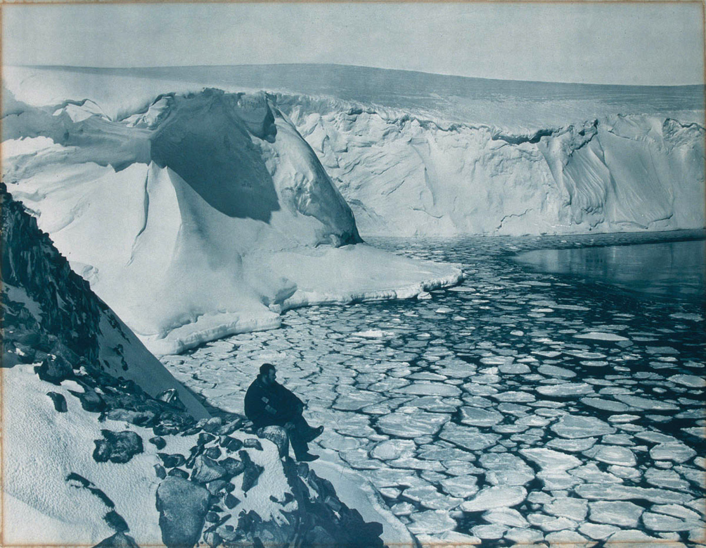
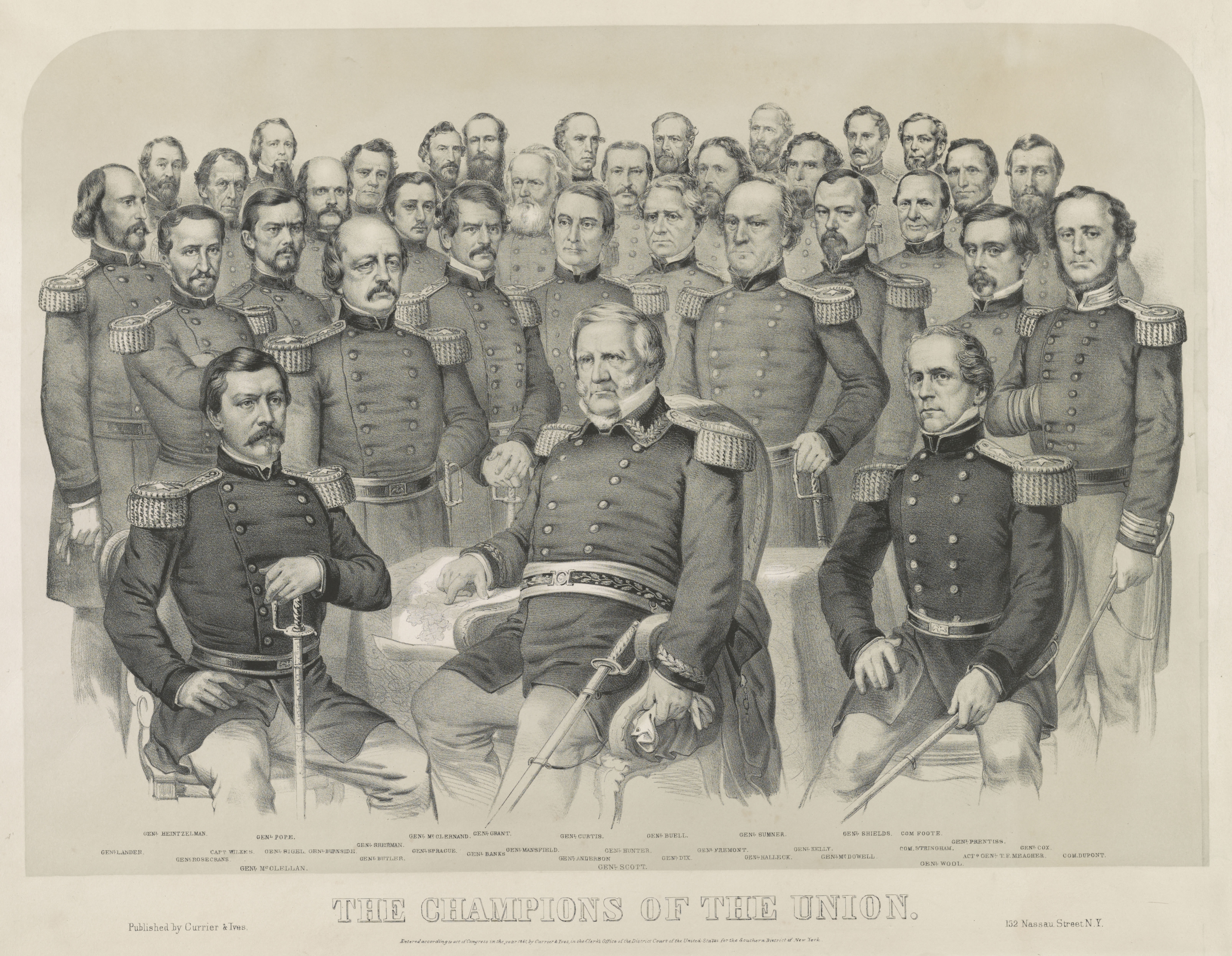
Point Alden is an ice-covered point in Antarctica with rock exposures along the seaward side. The point marks the western side of the entrance to Commonwealth Bay and the division between Adélie Land, Adélie Coast and George V Coast in Antarctica. The point was discovered on January 30, 1840, by the USEE under Lt. Charles Wilkes, and named by him for Lt. James Alden of the expedition's flagship ''Vincennes''. References Further reading *Defense Mapping Agency 1992, Sailing Directions (planning Guide) and (enroute) for Antarctica', P 412 *Kurt Stüwe, Robin Oliver, Geological history of Adélie Land and King George V Land, Antarctica: Evidence for a polycyclic metamorphic evolution', Precambrian Research Volume 43, Issue 4, June 1989, Pages 317–334, https://doi.org/10.1016/0301-9268(89)90063-6 External links Point Aldenon USGS website Point Aldenon Australian Antarctic Data Centre, AADC website Point Aldenon Scientific Committee on Antarctic Research, SCAR website Poin ... [...More Info...] [...Related Items...] OR: [Wikipedia] [Google] [Baidu] |
Antarctica
Antarctica () is Earth's southernmost and least-populated continent. Situated almost entirely south of the Antarctic Circle and surrounded by the Southern Ocean, it contains the geographic South Pole. Antarctica is the fifth-largest continent, being about 40% larger than Europe, and has an area of . Most of Antarctica is covered by the Antarctic ice sheet, with an average thickness of . Antarctica is, on average, the coldest, driest, and windiest of the continents, and it has the highest average elevation. It is mainly a polar desert, with annual precipitation of over along the coast and far less inland. About 70% of the world's freshwater reserves are frozen in Antarctica, which, if melted, would raise global sea levels by almost . Antarctica holds the record for the lowest measured temperature on Earth, . The coastal regions can reach temperatures over in summer. Native species of animals include mites, nematodes, penguins, seals and tardigrades. Where vegetation o ... [...More Info...] [...Related Items...] OR: [Wikipedia] [Google] [Baidu] |
Commonwealth Bay
Commonwealth Bay is an open bay about 48 km (30 mi) wide at the entrance between Point Alden and Cape Gray in Antarctica. It was discovered in 1912 by the Australasian Antarctic Expedition under Douglas Mawson, who established the main base of the expedition at Cape Denison at the head of the bay. Named by Australasian Antarctic Expedition after the Commonwealth of Australia. Katabatic Wind The bay is listed in both the ''Guinness Book of World Records'' and the Eighth Edition of the ''National Geographic Atlas'' as the windiest place on Earth with winds regularly exceeding per hour and an average annual wind speed of per hour. Storms are caused by katabatic wind, a concentrated flow of cold air moving along the steep surface of the ice shield towards the sea. The air flow is accelerated by the increasing gradient of the surface of ice and the cliff monolith at Cape Denison. In the summer there are periods of relative calm but during winter storms are especially st ... [...More Info...] [...Related Items...] OR: [Wikipedia] [Google] [Baidu] |
Adélie Land
Adélie Land (french: Terre Adélie, ) is a claimed territory on the continent of Antarctica. It stretches from a portion of the Southern Ocean coastline all the way inland to the South Pole. France has administered it as one of five districts of the French Southern and Antarctic Lands since 1955 and applied the Antarctic Treaty System rules since 1961. Article 4 deals with territorial claims, and although it does not renounce or diminish any preexisting claims to sovereignty, it also does not prejudice the position of Contracting Parties in their recognition or non-recognition of territorial sovereignty. France has had a permanent station in Adélie Land since April 9, 1950. The current Dumont d'Urville Station has a winter population around 25, but this goes up to about 78 during the Antarctic summer. A species of penguin, the Adélie penguin, is named after it. Geography Adélie Land lies between 136° E (near Pourquoi Pas Point at ) and 142° E (near Point Alden at ... [...More Info...] [...Related Items...] OR: [Wikipedia] [Google] [Baidu] |
George V Coast
George V Coast () is that portion of the coast of Antarctica lying between Point Alden, at 148°2′E, and Cape Hudson, at 153°45′E. Portions of this coast were sighted by the US Exploring Expedition in 1840. It was explored by members of the Main Base party of the Australasian Antarctic Expedition (1911–14) under Douglas Mawson who named this feature for King George V of the United Kingdom. The segment of land between these lines of longitude is referred to as George V Land George V Land is a segment of Antarctica part of the land claimed as part of the Australian Antarctic Territory, inland from the George V Coast. As with other segments of Antarctica, it is defined by two lines of longitude, 142°02' E and 153°4 .... Mertz Glacier is located in this area. Further reading * Cantero ÁLP, Marzal MF, Benthic hydroids (Cnidaria: Hydrozoa) from off George V Coast (East Antarctica)', Zootaxa, 26 Jun 2018, 4441(1):121-136 DOI: 10.11646/zootaxa.4441.1.7 * G. D. Wil ... [...More Info...] [...Related Items...] OR: [Wikipedia] [Google] [Baidu] |
Charles Wilkes
Charles Wilkes (April 3, 1798 – February 8, 1877) was an American naval officer, ship's captain, and explorer. He led the United States Exploring Expedition (1838–1842). During the American Civil War (1861–1865), he commanded ' during the Trent Affair in which he stopped a Royal Mail ship and removed two Confederate diplomats, which almost led to war between the United States and the United Kingdom. Early life and career Wilkes was born in New York City, on April 3, 1798, as the great nephew of the former Lord Mayor of London John Wilkes. His mother was Mary Seton, who died in 1802 when Charles was just three years old. As a result, Charles was raised by his aunt, Elizabeth Ann Seton, who would later convert to Roman Catholicism and become the first American-born woman canonized a saint by the Catholic Church. When Elizabeth was left widowed with five children, Charles was sent to a boarding school, and later attended Columbia College, which is the present-day Columbia Uni ... [...More Info...] [...Related Items...] OR: [Wikipedia] [Google] [Baidu] |
USGS
The United States Geological Survey (USGS), formerly simply known as the Geological Survey, is a scientific agency of the United States government. The scientists of the USGS study the landscape of the United States, its natural resources, and the natural hazards that threaten it. The organization's work spans the disciplines of biology, geography, geology, and hydrology. The USGS is a fact-finding research organization with no regulatory responsibility. The agency was founded on March 3, 1879. The USGS is a bureau of the United States Department of the Interior; it is that department's sole scientific agency. The USGS employs approximately 8,670 people and is headquartered in Reston, Virginia. The USGS also has major offices near Lakewood, Colorado, at the Denver Federal Center, and Menlo Park, California. The current motto of the USGS, in use since August 1997, is "science for a changing world". The agency's previous slogan, adopted on the occasion of its hundredth anniv ... [...More Info...] [...Related Items...] OR: [Wikipedia] [Google] [Baidu] |
Australian Antarctic Data Centre
The Australian Antarctic Data Centre is a section of the Australian Antarctic Division, which forms part of the Australian Government, Commonwealth of Australia, in the Department of the Environment and Energy. AADC services form the backbone of data collection and data management in Australia's Antarctic Science Program. Services * Managing science data from Australia's Antarctic research (acquiring, indexing, storing, disseminating, linking and data mining) * Mapping Australia's areas of interest in the Antarctic region * Managing Australia's Antarctic state of the environment reporting * Fabricating, installing and managing Australia's Antarctic station tide gauges * Providing advice and education and a range of other products Purpose The AADC undertakes its role in alignment with the National Antarctic data management policy. Scientific data are key (and highly valuable) outputs of Australia's Antarctic Science Program and therefore should be managed for posterity. Ar ... [...More Info...] [...Related Items...] OR: [Wikipedia] [Google] [Baidu] |
Scientific Committee On Antarctic Research
The Scientific Committee on Antarctic Research (SCAR) is an interdisciplinary body of the International Science Council (ISC). SCAR coordinates international scientific research efforts in Antarctica, including the Southern Ocean. SCAR's scientific work is administered through several discipline-themed ''science groups''. The organisation has observer status at, and provides independent advice to Antarctic Treaty Consultative Meetings, and also provides information to other international bodies such as the Intergovernmental Panel on Climate Change (IPCC) and the United Nations Framework Convention on Climate Change (UNFCCC). History At the International Council of Scientific Unions (ICSU)’s Antarctic meeting held in Stockholm from 9–11 September 1957, it was agreed that a committee should be created to oversee scientific research in Antarctica. At the time there were 12 nations actively conducting Antarctic research and they were each invited to nominate one delegate to ... [...More Info...] [...Related Items...] OR: [Wikipedia] [Google] [Baidu] |
Headlands Of George V Land
A headland, also known as a head, is a coastal landform, a point of land usually high and often with a sheer drop, that extends into a body of water. It is a type of promontory. A headland of considerable size often is called a cape.Whittow, John (1984). ''Dictionary of Physical Geography''. London: Penguin, 1984, pp. 80, 246. . Headlands are characterised by high, breaking waves, rocky shores, intense erosion, and steep sea cliff. Headlands and bays are often found on the same coastline. A bay is flanked by land on three sides, whereas a headland is flanked by water on three sides. Headlands and bays form on discordant coastlines, where bands of rock of alternating resistance run perpendicular to the coast. Bays form when weak (less resistant) rocks (such as sands and clays) are eroded, leaving bands of stronger (more resistant) rocks (such as chalk, limestone, and granite) forming a headland, or peninsula. Through the deposition of sediment within the bay and the erosion of the ... [...More Info...] [...Related Items...] OR: [Wikipedia] [Google] [Baidu] |


