|
Plateway
A plateway is an early kind of railway, tramway or wagonway, where the rails are made from cast iron. They were mainly used for about 50 years up to 1830, though some continued later. Plateways consisted of "L"-shaped rails, where the flange on the rail guides the wheels, in contrast to edgeways, where flanges on the wheels guide them along the track. Plateways were originally horsedrawn but, later on, cable haulage and small locomotives were sometimes used. The plates of the plateway were made of cast iron, often fabricated by the ironworks that were their users. On most lines, that system was replaced by rolled wrought iron (and later steel) "edge rails" which, along with realignment to increase the radius of curves, converted them into modern railways, better suited to locomotive operation. Plateways were particularly favoured in South Wales and the Forest of Dean, in some cases replacing existing edge rails. Other notable plateways included the Hay Railway, the Glouces ... [...More Info...] [...Related Items...] OR: [Wikipedia] [Google] [Baidu] |
Wagonway
Wagonways (also spelt Waggonways), also known as horse-drawn railways and horse-drawn railroad consisted of the horses, equipment and tracks used for hauling wagons, which preceded Steam locomotive, steam-powered rail transport, railways. The terms plateway, tramway (industrial), tramway, dramway, were used. The advantage of wagonways was that far bigger loads could be transported with the same power. Ancient systems The earliest evidence is of the 6 to 8.5 km long ''Diolkos'' paved trackway, which transported boats across the Isthmus of Corinth in Greece from around 600 BC. Wheeled vehicles pulled by men and animals ran in grooves in limestone, which provided the track element, preventing the wagons from leaving the intended route. The Diolkos was in use for over 650 years, until at least the 1st century AD. Paved trackways were later built in Roman Egypt. Wooden rails Such an operation was illustrated in Germany in 1556 by Georgius Agricola (image right) in his ... [...More Info...] [...Related Items...] OR: [Wikipedia] [Google] [Baidu] |
Rail Transport
Rail transport (also known as train transport) is a means of transport that transfers passengers and goods on wheeled vehicles running on rails, which are incorporated in tracks. In contrast to road transport, where the vehicles run on a prepared flat surface, rail vehicles ( rolling stock) are directionally guided by the tracks on which they run. Tracks usually consist of steel rails, installed on sleepers (ties) set in ballast, on which the rolling stock, usually fitted with metal wheels, moves. Other variations are also possible, such as "slab track", in which the rails are fastened to a concrete foundation resting on a prepared subsurface. Rolling stock in a rail transport system generally encounters lower frictional resistance than rubber-tyred road vehicles, so passenger and freight cars (carriages and wagons) can be coupled into longer trains. The operation is carried out by a railway company, providing transport between train stations or freight customer ... [...More Info...] [...Related Items...] OR: [Wikipedia] [Google] [Baidu] |
Tramway (industrial)
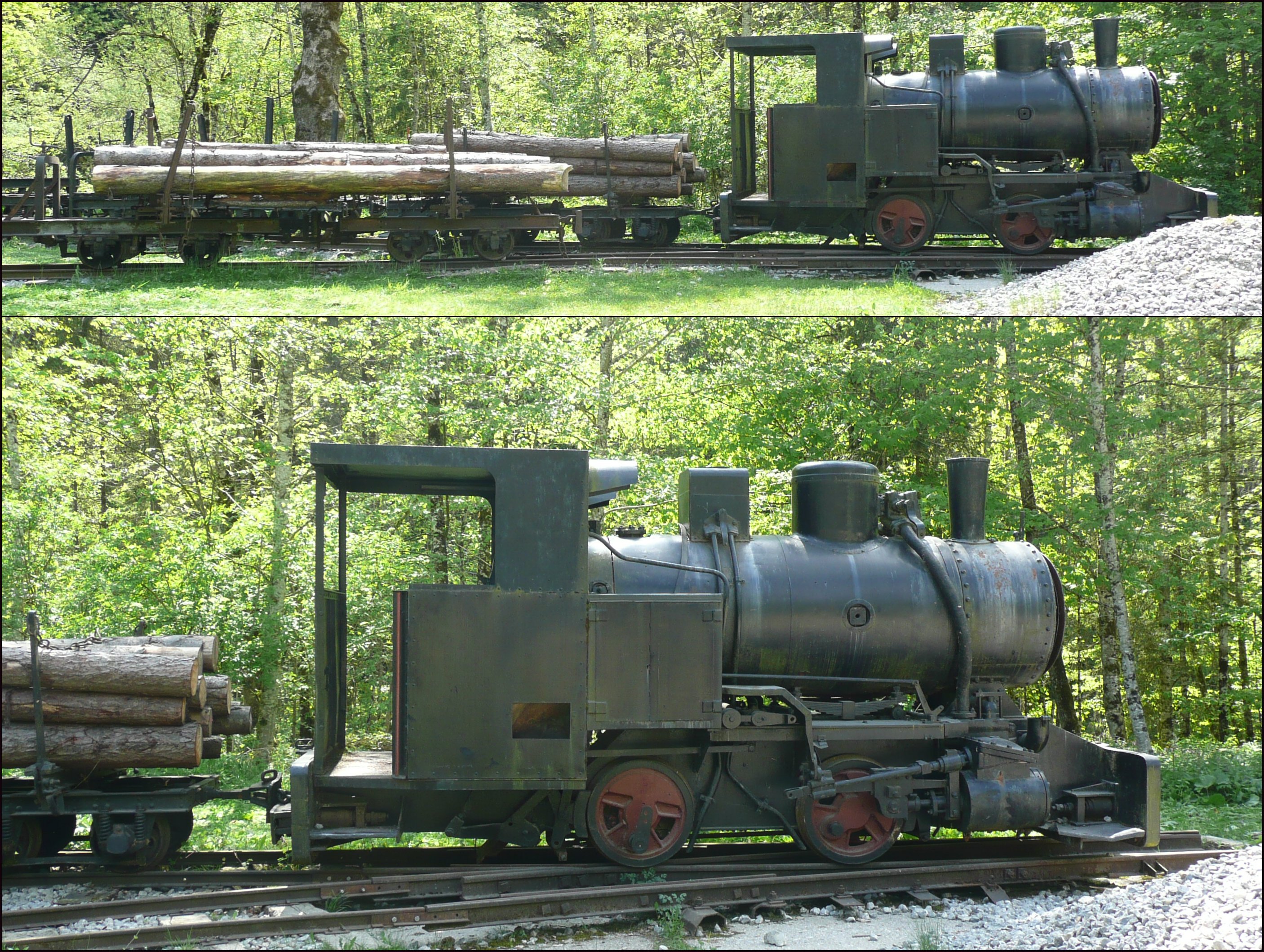
Tramways are lightly laid rail transport, railways, sometimes with the wagons or carriages moved without locomotives. Because individual tramway infrastructure is not intended to carry the weight of typical standard-gauge railway equipment, the tramways over which they operate may be built from less substantial materials. Tramways can exist in many forms; sometimes just tracks temporarily placed on the ground to transport materials around a factory, mine or quarry. Many, if not most, use narrow-gauge railway technology. The trains can be manually pushed by hand, pulled by animals (especially horses and mules), cable hauled by a stationary engine, or use small, light locomotives. The term is not in use in North America but in common use in the United Kingdom, and elsewhere, where British Railway terminology and practices had large influences on management practices, terminology, and railway cultures such as Australia, New Zealand, and those parts of Asia that consulted with Bri ... [...More Info...] [...Related Items...] OR: [Wikipedia] [Google] [Baidu] |
Rail Gauge
In rail transport, track gauge (in American English, alternatively track gage) is the distance between the two rails of a railway track. All vehicles on a rail network must have wheelsets that are compatible with the track gauge. Since many different track gauges exist worldwide, gauge differences often present a barrier to wider operation on railway networks. The term derives from the metal bar, or gauge, that is used to ensure the distance between the rails is correct. Railways also deploy two other gauges to ensure compliance with a required standard. A ''loading gauge'' is a two-dimensional profile that encompasses a cross-section of the track, a rail vehicle and a maximum-sized load: all rail vehicles and their loads must be contained in the corresponding envelope. A ''structure gauge'' specifies the outline into which structures (bridges, platforms, lineside equipment etc.) must not encroach. Uses of the term The most common use of the term "track gauge" refers to the ... [...More Info...] [...Related Items...] OR: [Wikipedia] [Google] [Baidu] |
Gloucester And Cheltenham Tramroad
The Gloucester and Cheltenham Tramroad, also known as the Gloucester and Cheltenham Railway, connected Gloucester and Cheltenham with horse-drawn trams. Its primary economic purpose was the transport of coal from Gloucester's (then new) docks to the rapidly developing spa town of Cheltenham and the transport of building stone from quarries on nearby Leckhampton Hill. It opened in 1811 and suffered mixed fortunes financially. A steam engine was tried out, but this was unsuccessful. In 1836 two main line railways jointly acquired the railway, seeking to use its access to Gloucester docks. The majority of the tramroad continued in use, but declined over the years and in 1859 was closed. The steepest part of the Leckhampton incline continued in private use until the 1920s. History Towards the end of the eighteenth century, Cheltenham became noted for the supposedly health-giving waters available there, and this attracted wealthy visitors, including King George III, and encouraged ... [...More Info...] [...Related Items...] OR: [Wikipedia] [Google] [Baidu] |
Wingerworth
Wingerworth is a large village and parish in North East Derbyshire, England. Its population, according to the 2011 census, was 6,533. Wingerworth is southwest of Chesterfield, south of Sheffield and north of London. Tupton, Clay Cross, Grassmoor and Ashover are nearby. History Wingerworth is first recorded in the Domesday Book of 1086 as a community of fourteen houses of freemen. In the book it is called ''Wingreurde'', an Anglo-Saxon name meaning "King's Land." For the bulk of the Middle Ages, the lords of Wingerworth Manor were the Brailsfords. After their stewardship, the lordship descended in a relatively uncertain manner to the Curzons of Kedleston Hall until finally coming under the lordship of the Hunloke Family. The seat of the Hunloke Family was at Wingerworth Hall, which was demolished in 1927 to make way for housing developments, as a buyer could not be found for the property. The Hall was also used as a Roundhead garrison during the English Civil War. Educati ... [...More Info...] [...Related Items...] OR: [Wikipedia] [Google] [Baidu] |
Cross Section (geometry)
In geometry and science, a cross section is the non-empty intersection of a solid body in three-dimensional space with a plane, or the analog in higher-dimensional spaces. Cutting an object into slices creates many parallel cross-sections. The boundary of a cross-section in three-dimensional space that is parallel to two of the axes, that is, parallel to the plane determined by these axes, is sometimes referred to as a contour line; for example, if a plane cuts through mountains of a raised-relief map parallel to the ground, the result is a contour line in two-dimensional space showing points on the surface of the mountains of equal elevation. In technical drawing a cross-section, being a projection of an object onto a plane that intersects it, is a common tool used to depict the internal arrangement of a 3-dimensional object in two dimensions. It is traditionally crosshatched with the style of crosshatching often indicating the types of materials being used. With computed ... [...More Info...] [...Related Items...] OR: [Wikipedia] [Google] [Baidu] |
John Curr
John Curr (c. 1756 – 27 January 1823) was the manager or viewer of the Duke of Norfolk's collieries in Sheffield, England from 1781 to 1801. During this time he made a number of innovations that contributed significantly to the development of the coal mining industry and railways. Personal life Curr was born in County Durham, England in around 1756. He was raised and remained a Catholic throughout his life. He moved to Sheffield some time before 1776. In 1780 he was appointed superintendent of the Duke of Norfolk's Sheffield collieries. He married Hannah Wilson (18 May 1759 – 10 June 1851) in about 1785, and they had eight children, including Joseph Curr, a Catholic priest, and Edward Curr, who was Secretary of the Van Diemen's Land Company from 1824 to 1841. He died in Sheffield on 27 January 1823. Career The career of John Curr has been subject to significant dispute, due to inaccurate statements by early authors about him and misinterpretation. Older works (such as (or th ... [...More Info...] [...Related Items...] OR: [Wikipedia] [Google] [Baidu] |
Joseph Butler
Joseph Butler (18 May O.S. 1692 – 16 June O.S. 1752) was an English Anglican bishop, theologian, apologist, and philosopher, born in Wantage in the English county of Berkshire (now in Oxfordshire). He is known for critiques of Deism, Thomas Hobbes's egoism, and John Locke's theory of personal identity. The many philosophers and religious thinkers Butler influenced included David Hume, Thomas Reid, Adam Smith, Henry Sidgwick, John Henry Newman, and C. D. Broad, and is widely seen as "one of the pre-eminent English moralists." He played a major, if underestimated role in developing 18th-century economic discourse, influencing the Dean of Gloucester and political economist Josiah Tucker. Biography Early life and education Butler was born on 18 May 1692. The son of a Presbyterian linen draper, Butler was destined for the ministry of that church, and with the future archbishop Thomas Secker, entered Samuel Jones's dissenting academy at Gloucester (later Tewkesbury) for the purp ... [...More Info...] [...Related Items...] OR: [Wikipedia] [Google] [Baidu] |
Little Eaton Tramway Replica Wagon Small
Little is a synonym for small size and may refer to: Arts and entertainment * ''Little'' (album), 1990 debut album of Vic Chesnutt * ''Little'' (film), 2019 American comedy film *The Littles, a series of children's novels by American author John Peterson ** ''The Littles'' (TV series), an American animated series based on the novels Places *Little, Kentucky, United States *Little, West Virginia, United States Other uses *Clan Little, a Scottish clan *Little (surname), an English surname *Little (automobile), an American automobile manufactured from 1912 to 1915 *Little, Brown and Company, an American publishing company * USS ''Little'', multiple United States Navy ships See also * * *Little Mountain (other) *Little River (other) Little River may refer to several places: Australia Streams New South Wales *Little River (Dubbo), source in the Dubbo region, a tributary of the Macquarie River * Little River (Oberon), source in the Oberon Shire, a tributary of Cox ... [...More Info...] [...Related Items...] OR: [Wikipedia] [Google] [Baidu] |
Chesterfield, Derbyshire
Chesterfield is a market town and unparished area in the Borough of Chesterfield, Derbyshire, England, north of Derby and south of Sheffield at the confluence of the River Rother and River Hipper. In 2011 the built-up-area subdivision had a population of 88,483, making it the second-largest settlement in Derbyshire, after Derby. The wider borough had a population of 103,801 in 2011. In 2011, the town had a population of 76,753. It has been traced to a transitory Roman fort of the 1st century CE. The name of the later Anglo-Saxon village comes from the Old English ''ceaster'' (Roman fort) and ''feld'' (pasture). It has a sizeable street market three days a week. The town sits on an old coalfield, but little visual evidence of mining remains. The main landmark is the crooked spire of the Church of St Mary and All Saints. History Chesterfield was in the Hundred of Scarsdale. The town received its market charter in 1204 from King John, which constituted the town as a free boro ... [...More Info...] [...Related Items...] OR: [Wikipedia] [Google] [Baidu] |
Railroad Tie
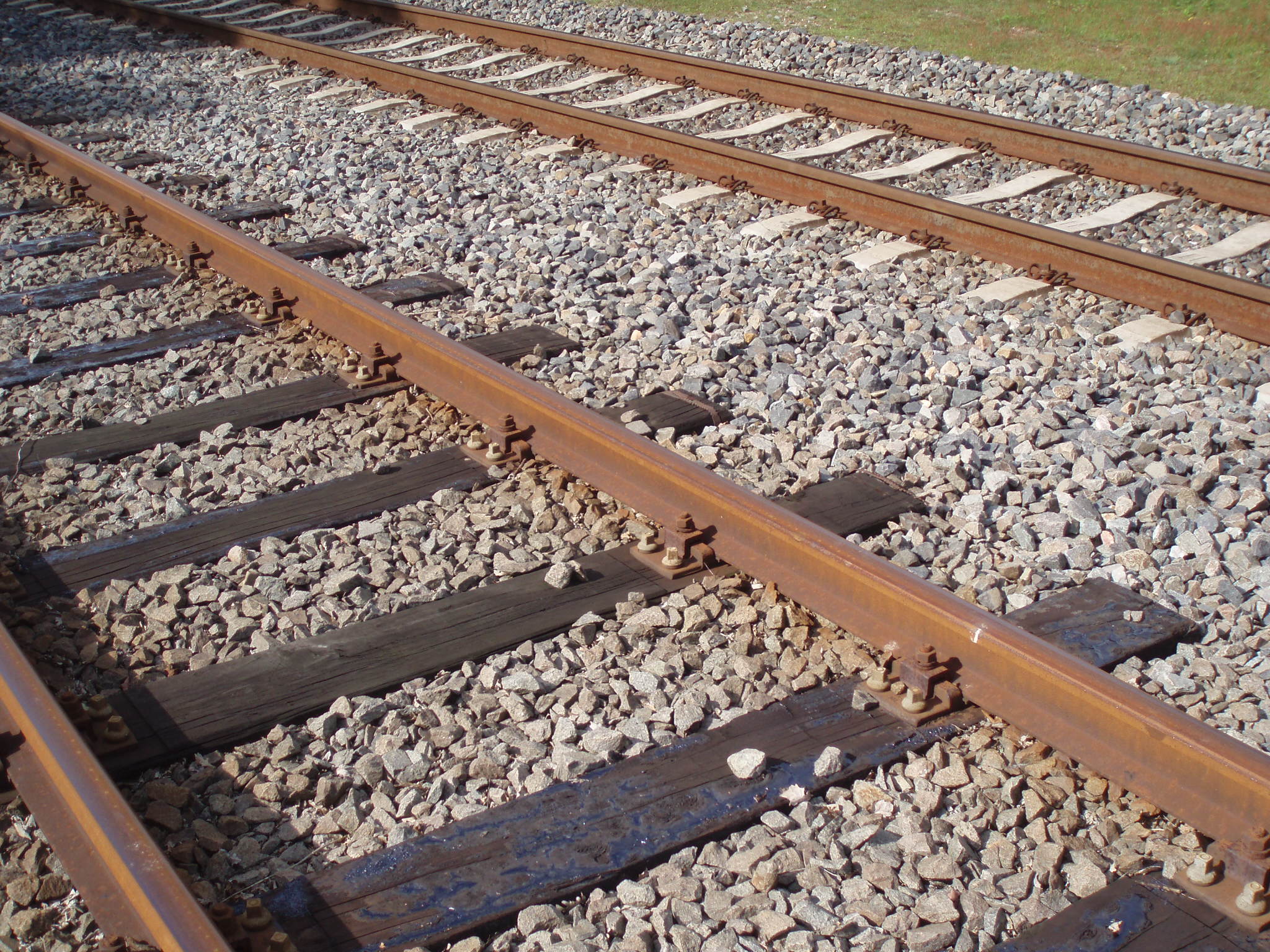
A railroad tie, crosstie (American English), railway tie (Canadian English) or railway sleeper (Australian and British English) is a rectangular support for the rails in railroad tracks. Generally laid perpendicular to the rails, ties transfer loads to the track ballast and subgrade, hold the rails upright and keep them spaced to the correct gauge. Railroad ties are traditionally made of wood, but prestressed concrete is now also widely used, especially in Europe and Asia. Steel ties are common on secondary lines in the UK; plastic composite ties are also employed, although far less than wood or concrete. As of January 2008, the approximate market share in North America for traditional and wood ties was 91.5%, the remainder being concrete, steel, azobé (red ironwood) and plastic composite. Tie spacing may depend on the type of tie, traffic loads and other requirements, for example 2640 concrete ties per mile on North American mainline railroads to 2112 timber ties per mile ... [...More Info...] [...Related Items...] OR: [Wikipedia] [Google] [Baidu] |


