|
Piney Knoll Conservation Area
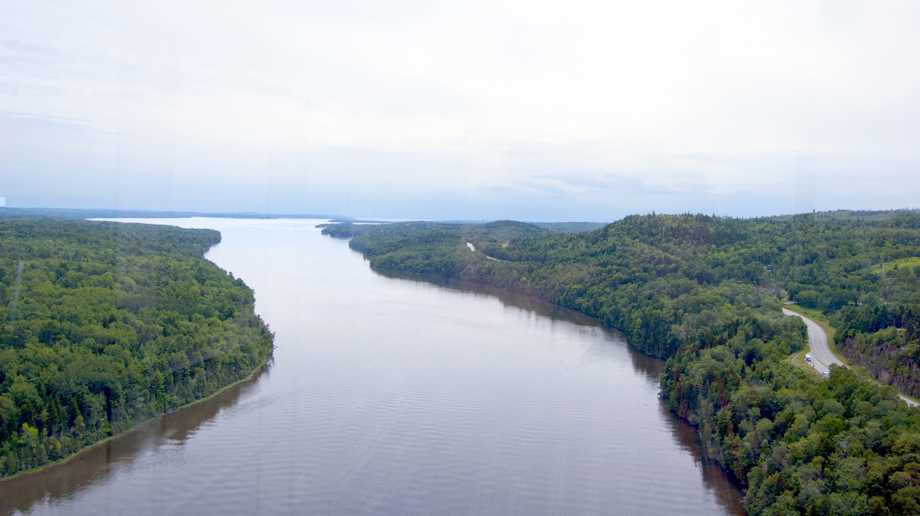
Piney Knoll Conservation Area is a protected area of Orono, Maine, United States. Located at the southern end of Marsh Island along the Penobscot River, it is noted as a site for bird-watching as well as local wildlife. It includes 4.5 miles of intersecting trails. It was established in 1991 with funds donated by Bangor Hydro-Electric Company as part of an ultimately failed plan to build a nearby dam. In 2010, Land for Maine's Future supported the OLT in purchasing 20 more acres for conservation. The land was formerly a settlement of the Penobscot people as well as port for a ferry to Bradley, Maine Bradley is a town in Penobscot County, Maine, United States. It is part of the Bangor Metropolitan Statistical Area. The population was 1,532 at the 2020 census. The village of Bradley is in the northwest corner of the town. History Bradley w .... References 1991 establishments in Maine Protected areas established in 1991 Orono, Maine Protected areas of Penobscot Co ... [...More Info...] [...Related Items...] OR: [Wikipedia] [Google] [Baidu] |
Orono, Maine
Orono () is a town in Penobscot County, Maine, United States. Located on the Penobscot and Stillwater rivers, it was first settled by American colonists in 1774. They named it in honor of Chief Joseph Orono, a sachem of the indigenous Penobscot nation who long occupied this territory. In the nineteenth century, the town became a center of the lumber industry. Sawmills on the rivers were powered by the water, and logs were floated downriver on the Penobscot for shipping and export from coastal ports. Since 1865 it has been the location of the University of Maine, established as a land-grant institution and the state's flagship educational institution. In the fall of 2018, the university enrolled 11,404 students at Orono. Not including university residents, the town's population was 11,183 at the 2020 census. Geography According to the United States Census Bureau, the town has a total area of , of which, of it is land and is water. The town is divided by the Stillwater Rive ... [...More Info...] [...Related Items...] OR: [Wikipedia] [Google] [Baidu] |
Orono Land Trust
Orono may refer to: Places * Oroño Boulevard, Rosario, Santa Fe Province, Argentina * Orono, Ontario, Canada, a town in the Municipality of Clarington United States * Orono, Maine, a town in Penobscot County, home to the University of Maine **Orono (CDP), Maine, the main settled area of the town *Orono, Minnesota, a city in Hennepin County *Orono Township, Muscatine County, Iowa People *Dumas Oroño (1921–2005), Uruguayan artist *Joseph Orono (1688–1738), Penobscot Indian chief * Nicasio Oroño (1825–1904), Argentine politician and lawyer * Rafael Orono (born 1958), Venezuelan boxer * Orono Wor Petchpun (born 1978), Thai kickboxer and mixed martial artist *Orono Noguchi, member of Superorganism (band) Superorganism are an indie pop band based in London, formed in early 2017. The group originally consisted of eight members: lead vocalist Orono Noguchi, as well as Emily, Harry, Tucan, Robert Strange, Ruby, B, and Soul. Many of the group's memb ... Other uses * '' Hedone ... [...More Info...] [...Related Items...] OR: [Wikipedia] [Google] [Baidu] |
Marsh Island (Maine)
Marsh Island is an island on the Penobscot River in Penobscot County. The Penobscot River borders the eastern side of the island, while the Stillwater River, a side arm of the Penobscot, borders the western side of the island. Overview Portions of Old Town and Orono occupy Marsh Island. The University of Maine campus occupies the southwestern corner of the island while Old Town Municipal Airport and Seaplane Base are at the island's northern end. U.S. Route 2 crosses the island and connects Old Town and Orono. A former Georgia-Pacific Georgia-Pacific LLC is an American pulp and paper company based in Atlanta, Georgia, and is one of the world's largest manufacturers and distributors of tissue, pulp, paper, toilet and paper towel dispensers, packaging, building products and r ... paper mill is located on the island in Old Town. In 2011 Marsh Island was opened to bow deer hunting. Gallery Image:Oldtown ME Mainstreet.jpg, Main Street in Old Town on Marsh Island Image:The ... [...More Info...] [...Related Items...] OR: [Wikipedia] [Google] [Baidu] |
Penobscot River
The Penobscot River (Abenaki: ''Pαnawάhpskewtəkʷ'') is a U.S. Geological Survey. National Hydrography Dataset high-resolution flowline dataThe National Map, accessed June 22, 2011 river in the U.S. state of Maine. Including the river's West Branch and South Branch increases the Penobscot's length to , making it the second-longest river system in Maine and the longest entirely in the state. Its drainage basin contains . It arises from four branches in several lakes in north-central Maine, which flow generally east. After the uniting of the West Branch with the East Branch at Medway (), the Penobscot flows south, past the city of Bangor, where it becomes navigable. Also at Bangor is the tributary Kenduskeag Stream. It empties into the Atlantic Ocean in Penobscot Bay. It is home to the Penobscot people that live on Indian Island, and considered to be The People's lifeblood. History Norumbega Most historians have accepted the Penobscot region as Jean Allefonsce's ... [...More Info...] [...Related Items...] OR: [Wikipedia] [Google] [Baidu] |
Emera
Emera Incorporated is a publicly traded Canadian multinational energy holding company based in Halifax, Nova Scotia. Created in 1998 during the privatization of Nova Scotia Power, a provincial Crown corporation, Emera now invests in regulated electricity generation as well as transmission and distribution across North America and the Caribbean. History Emera was created out of the privatization of the provincial Crown corporation Nova Scotia Power Incorporated (NSPI). On December 2, 1998, NSPI shareholders voted to restructure the company to create a holding company which would be shareholder-owned, with the regulated utility being a wholly owned subsidiary of the holding company. On December 9, 1998, NSPI received approval to establish NS Power Holdings Incorporated and NSPI shareholders exchanged their shares in NSPI for shares in NS Power Holdings Inc. on a one-to-one basis on January 1, 1999. Common shares in NS Power Holdings Inc. began trading on the Toronto Stock Exchange ... [...More Info...] [...Related Items...] OR: [Wikipedia] [Google] [Baidu] |
Land For Maine's Future
Land, also known as dry land, ground, or earth, is the solid terrestrial surface of the planet Earth that is not submerged by the ocean or other bodies of water. It makes up 29% of Earth's surface and includes the continents and various islands. Earth's land surface is almost entirely covered by regolith, a layer of rock, soil, and minerals that forms the outer part of the crust. Land plays important roles in Earth's climate system and is involved in the carbon cycle, nitrogen cycle, and water cycle. One-third of land is covered in trees, 15% is used for crops, and 10% is covered in permanent snow and glaciers. Land terrain varies greatly and consists of mountains, deserts, plains, plateaus, glaciers, and other landforms. In physical geology, the land is divided into two major categories: mountain ranges and relatively flat interiors called cratons. Both are formed over millions of years through plate tectonics. A major part of Earth's water cycle, streams shape ... [...More Info...] [...Related Items...] OR: [Wikipedia] [Google] [Baidu] |
Penobscot People
The Penobscot (Abenaki: ''Pαnawάhpskewi'') are an Indigenous people in North America from the Northeastern Woodlands region. They are organized as a federally recognized tribe in Maine and as a First Nations band government in the Atlantic provinces and Quebec. The ''Penobscot Nation'', formerly known as the ''Penobscot Tribe of Maine,'' is the federally recognized tribe of Penobscot in the United States."Tribal Directory" ''National Congress of American Indians''. Retrieved 30 August 2012. They are part of the , along with the , |
Bradley, Maine
Bradley is a town in Penobscot County, Maine, United States. It is part of the Bangor Metropolitan Statistical Area. The population was 1,532 at the 2020 census. The village of Bradley is in the northwest corner of the town. History Bradley was incorporated as a town in 1834, with lumbering and sawmilling as the principal industries. It was named for Bradley Blackman, an early settler. By the 1850s the town had 14 single-saw mills, three gang-saw (multiple-saw) mills, four clapboard mills, four lath mills, and three shingle mills. The only village was at Greatworks. The Maine Forest & Logging Museum, located at Leonard's Mills, was established in 1960 to preserve the logging history of Maine. Geography According to the United States Census Bureau, the town has a total area of , of which is land and is water. Demographics 2010 census At the 2010 census there were 1,492 people, 625 households, and 411 families living in the town. The population density was . There were ... [...More Info...] [...Related Items...] OR: [Wikipedia] [Google] [Baidu] |
1991 Establishments In Maine
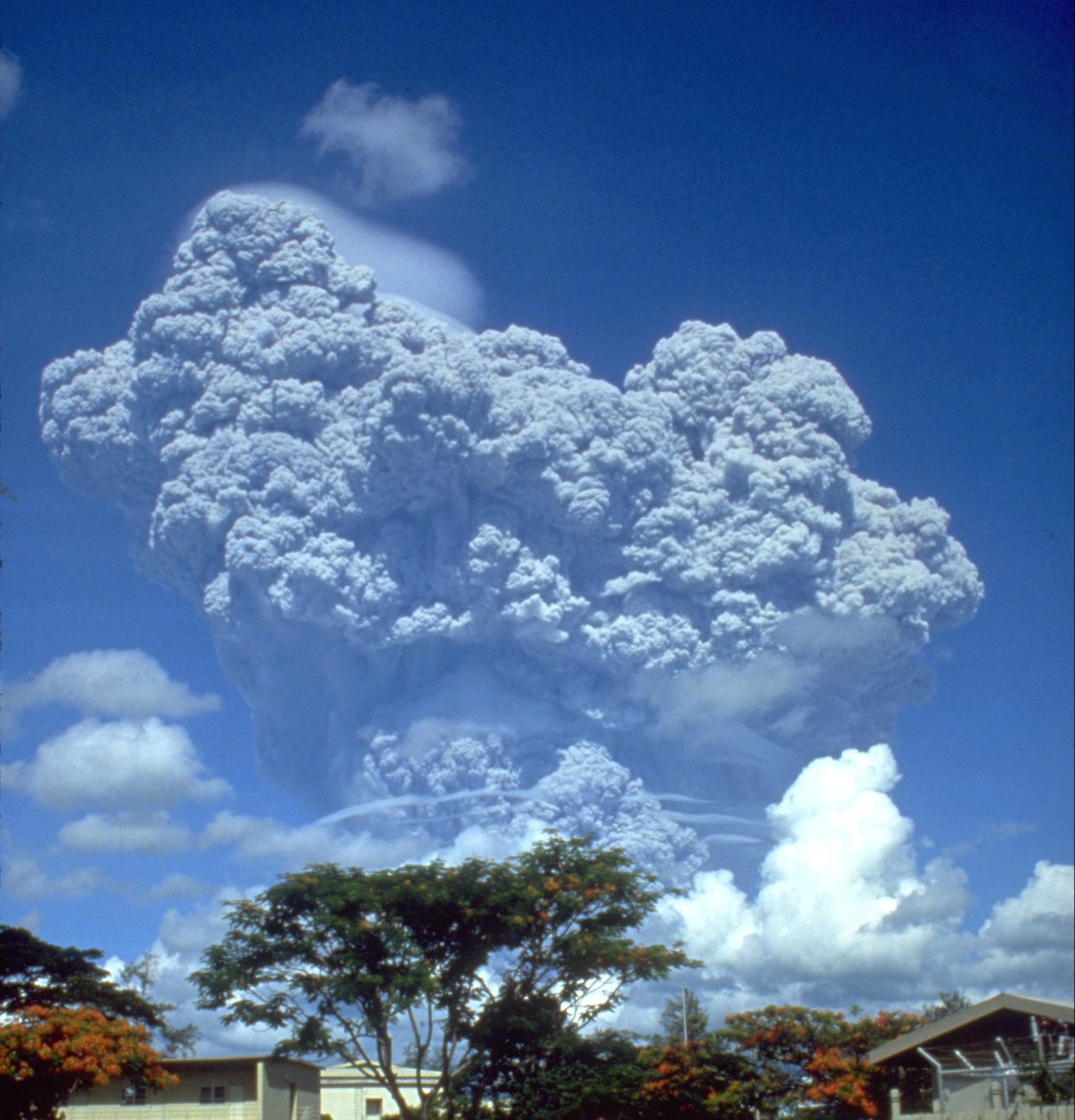
File:1991 Events Collage.png, From left, clockwise: Boris Yeltsin, 1991 Russian presidential election, elected as Russia's first President of Russia, president, waves the new flag of Russia after the 1991 Soviet coup d'état attempt, orchestrated by Soviet Union, Soviet hardliners; Mount Pinatubo 1991 eruption of Mount Pinatubo, erupts in the Philippines, making it the List of large historical volcanic eruptions, second-largest Types of volcanic eruptions, volcanic eruption of the 20th century; MTS Oceanos sinks off the coast of South Africa, but the crew notoriously abandons the vessel before the passengers are rescued; Dissolution of the Soviet Union: The Flag of the Soviet Union, Soviet flag is lowered from the Kremlin for the last time and replaced with the flag of the Russian Federation; The United States and soon-to-be dissolved Soviet Union sign the START I Treaty; A tropical cyclone 1991 Bangladesh cyclone, strikes Bangladesh, killing nearly 140,000 people; Lauda Air Flight ... [...More Info...] [...Related Items...] OR: [Wikipedia] [Google] [Baidu] |
Protected Areas Established In 1991
Protection is any measure taken to guard a thing against damage caused by outside forces. Protection can be provided to physical objects, including organisms, to systems, and to intangible things like civil and political rights. Although the mechanisms for providing protection vary widely, the basic meaning of the term remains the same. This is illustrated by an explanation found in a manual on electrical wiring: Some kind of protection is a characteristic of all life, as living things have evolved at least some protective mechanisms to counter damaging environmental phenomena, such as ultraviolet light. Biological membranes such as bark on trees and skin on animals offer protection from various threats, with skin playing a key role in protecting organisms against pathogens and excessive water loss. Additional structures like scales and hair offer further protection from the elements and from predators, with some animals having features such as spines or camouflage servin ... [...More Info...] [...Related Items...] OR: [Wikipedia] [Google] [Baidu] |


