|
Pillar Point Harbor
Pillar Point Harbor is a boat harbor created by a riprap breakwater in San Mateo County, California immediately north of Half Moon Bay. It is used by both pleasure craft and small commercial fishing boats. The Ohlone people inhabited the region into much of the 19th century, and a number of recorded shipwrecks occurred in the immediate area. The modern harbor facilities were constructed between 1959 and 1982. The harbor facilities are managed by the San Mateo County Harbor District. Location The harbor is situated at the north end of the semicircular bay called Half Moon Bay, and is at the extreme north edge of the city of Half Moon Bay, the southwest edge of the town of El Granada and the southern edge of the unincorporated community of Princeton-by-the-Sea. The big wave surfing location in Mavericks is about a half mile (1 km) outside Pillar Point Harbor. History Early history Before European contact, and through much of the 19th century, the Ohlone tribe lived in ... [...More Info...] [...Related Items...] OR: [Wikipedia] [Google] [Baidu] |
San Mateo County, California
San Mateo County ( ), officially the County of San Mateo, is a county (United States), county located in the U.S. state of California. As of the 2020 United States Census, 2020 census, the population was 764,442. Redwood City, California, Redwood City is the county seat, and the third most populated city following Daly City, California, Daly City and San Mateo, California, San Mateo. San Mateo County is included in the San Francisco-Oakland-Berkeley, CA MSA (metropolitan statistical area), Silicon Valley, and is part of the San Francisco Bay Area, the nine counties bordering San Francisco Bay. It covers most of the San Francisco Peninsula. San Francisco International Airport is located in the northeastern area of the county and is approximately 7 miles south of the city and county limits of San Francisco, even though the airport itself is assigned a San Francisco United States Postal Service, postal address. The county's built-up areas are mostly suburban, and are home to sever ... [...More Info...] [...Related Items...] OR: [Wikipedia] [Google] [Baidu] |
Alta California
Alta California ('Upper California'), also known as ('New California') among other names, was a province of New Spain, formally established in 1804. Along with the Baja California peninsula, it had previously comprised the province of , but was split off into a separate province in 1804 (named ). Following the Mexican War of Independence, it became a territory of Mexico in April 1822 and was renamed in 1824. The territory included all of the modern U.S. states of California, Nevada, and Utah, and parts of Arizona, Wyoming, Colorado, and New Mexico. In the 1836 Siete Leyes government reorganization, the two Californias were once again combined (as a single ). That change was undone in 1846, but rendered moot by the U.S. military occupation of California in the Mexican-American War. Neither Spain nor Mexico ever colonized the area beyond the southern and central coastal areas of present-day California and small areas of present-day Arizona, so they exerted no effective cont ... [...More Info...] [...Related Items...] OR: [Wikipedia] [Google] [Baidu] |
Denniston Creek
Denniston Creek is a U.S. Geological Survey. National Hydrography Dataset high-resolution flowline dataThe National Map , accessed March 15, 2011 coastal stream in western San Mateo County, California. Denniston Creek rises on the western slopes of Montara Mountain and discharges to the Pacific Ocean at Pillar Point Harbor somewhat north of El Granada Beach. The watershed of Denniston Creek is made up of relatively permeable sandy soils capable of significant recharge to its aquifers, which supply a moderate amount of potable water to the local area. Groundwater In the headwaters reach high on Montara Mountain, coarse grained decomposed granite overlies heavily fractured granitic based bedrock aquifers. This upper pocket groundwater complex feeds down-basin alluvial fan deposits on the coastal plain. These alluvial fans exhibit some characteristics of a confined aquifer, but also respond to pressure and recharge from precipitation. Mouth At the mouth of Denniston Creek, the ... [...More Info...] [...Related Items...] OR: [Wikipedia] [Google] [Baidu] |
Pillar Point Harbor Aerial View
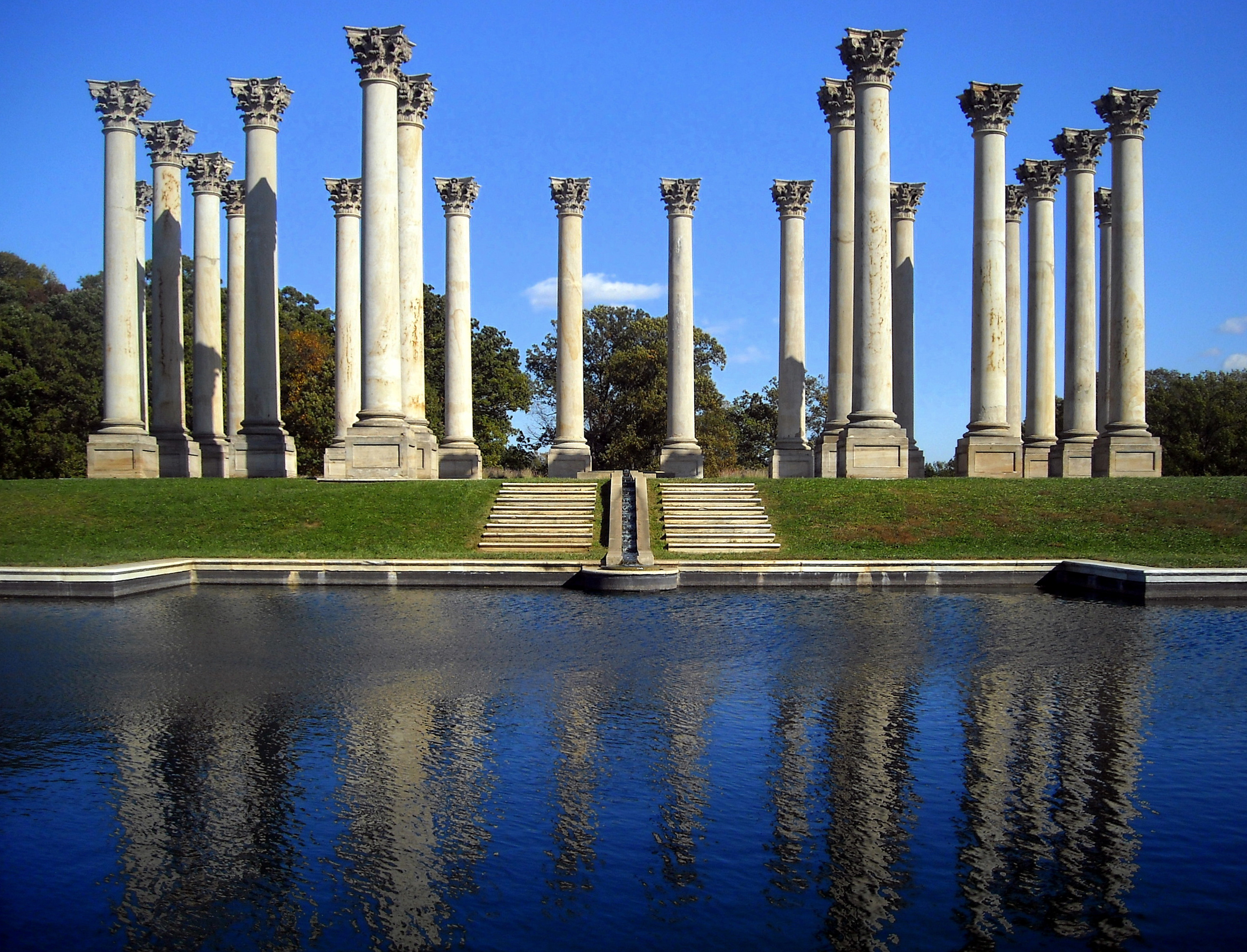
A column or pillar in architecture and structural engineering is a structural element that transmits, through compression, the weight of the structure above to other structural elements below. In other words, a column is a compression member. The term ''column'' applies especially to a large round support (the shaft of the column) with a capital and a base or pedestal, which is made of stone, or appearing to be so. A small wooden or metal support is typically called a ''post''. Supports with a rectangular or other non-round section are usually called ''piers''. For the purpose of wind or earthquake engineering, columns may be designed to resist lateral forces. Other compression members are often termed "columns" because of the similar stress conditions. Columns are frequently used to support beams or arches on which the upper parts of walls or ceilings rest. In architecture, "column" refers to such a structural element that also has certain proportional and decorative features. ... [...More Info...] [...Related Items...] OR: [Wikipedia] [Google] [Baidu] |

.jpg)
