|
Phước Điền Temple
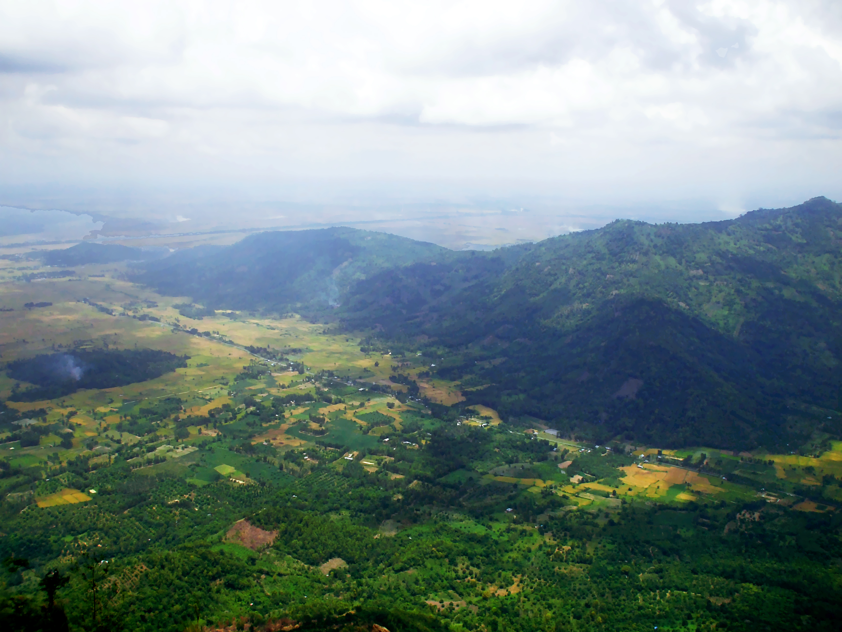
Phước Điền Temple ( vi, Chùa Phước Điền) (also known as Chùa Hang or Hang Temple) is a temple in Châu Đốc, An Giang Province, southwestern Vietnam Vietnam or Viet Nam ( vi, Việt Nam, ), officially the Socialist Republic of Vietnam,., group="n" is a country in Southeast Asia, at the eastern edge of mainland Southeast Asia, with an area of and population of 96 million, making i .... It is an official historic monument, proclaimed on July 10, 1980, by the Ministry of Culture and Information of Vietnam. Gallery File:Chùa Hang.jpg, File:Chùa Hang 2.jpg, File:Hang mãng xà.jpg, Buddhist temples in An Giang Province {{Vietnam-struct-stub ... [...More Info...] [...Related Items...] OR: [Wikipedia] [Google] [Baidu] |
Châu Đốc
Châu Đốc is a city in An Giang Province, bordering Cambodia, in the Mekong Delta region of Vietnam. As of 2013, the city had a population of 157,298, and cover an area of . The city is located by the Hậu River (a branch of the Mekong River flowing through Vietnamese territory) and Vĩnh Tế canal. Châu Đốc is situated west of Ho Chi Minh City. It takes about six hours to travel by bus from Ho Chi Minh City. History The territory became Vietnam's around the 17th century. The town is near the picturesque Sam Mountain where the Sam Mountain Lady (Vietnamese: Bà Chúa Xứ Núi Sam) is worshipped. The Sam Mount Lady Ceremony is held every April of lunar calendar (May) every year. Floods caused devastation in the region, the one in late 1938 saw 125,000 hectares of ruined riceland due to floods. In 1957, the town was the site of the Châu Đốc massacre. Climate Châu Đốc has a tropical savanna climate (Köppen ''Aw'') with a lengthy though not extreme wet season ... [...More Info...] [...Related Items...] OR: [Wikipedia] [Google] [Baidu] |
An Giang Province
An Giang () is a province of Vietnam. It is located in the Mekong Delta, in the southwestern part of the country. Geography An Giang occupies a position in the upper reaches of the Mekong Delta. The Hậu Giang and Tiền Giang branches of the Mekong River are the dominant geographical features of the province. With the exception of the west, most of An Giang is fairly flat and is criss-crossed by many canals and small rivers. This terrain has led to An Giang being a significant agricultural center, producing significant quantities of rice. The Cấm Mountains, also known as the Thất Sơn range or the "Seven Mountains", are located in the western Tịnh Biên District. Followers of the Bửu Sơn Kỳ Hương tradition, founded in An Giang in 1849, refer to these mountains as ''Bửu Sơn'', "Precious Mountains". Administrative divisions An Giang is subdivided into 11 district-level sub-divisions: * Districts: # An Phú: 2 towns and 12 rural communes # Châu Phú: ... [...More Info...] [...Related Items...] OR: [Wikipedia] [Google] [Baidu] |
Vietnam
Vietnam or Viet Nam ( vi, Việt Nam, ), officially the Socialist Republic of Vietnam,., group="n" is a country in Southeast Asia, at the eastern edge of mainland Southeast Asia, with an area of and population of 96 million, making it the world's sixteenth-most populous country. Vietnam borders China to the north, and Laos and Cambodia to the west. It shares maritime borders with Thailand through the Gulf of Thailand, and the Philippines, Indonesia, and Malaysia through the South China Sea. Its capital is Hanoi and its largest city is Ho Chi Minh City (commonly known as Saigon). Vietnam was inhabited by the Paleolithic age, with states established in the first millennium BC on the Red River Delta in modern-day northern Vietnam. The Han dynasty annexed Northern and Central Vietnam under Chinese rule from 111 BC, until the first dynasty emerged in 939. Successive monarchical dynasties absorbed Chinese influences through Confucianism and Buddhism, and expanded ... [...More Info...] [...Related Items...] OR: [Wikipedia] [Google] [Baidu] |
