|
Phoenix, Alberta
Phoenix is a former coal mining community between Nordegg and Rocky Mountain House in west-central Alberta, Canada. A sawmill operated along the North Saskatchewan River The North Saskatchewan River is a glacier-fed river that flows from the Canadian Rockies continental divide east to central Saskatchewan, where it joins with the South Saskatchewan River to make up the Saskatchewan River. Its water flows event ... near Phoenix in the 1920s to produce railway ties for the Burrows Lumber Company. References Clearwater County, Alberta Ghost towns in Alberta {{CentralAlberta-geo-stub ... [...More Info...] [...Related Items...] OR: [Wikipedia] [Google] [Baidu] |
Alberta
Alberta ( ) is one of the thirteen provinces and territories of Canada. It is part of Western Canada and is one of the three prairie provinces. Alberta is bordered by British Columbia to the west, Saskatchewan to the east, the Northwest Territories (NWT) to the north, and the U.S. state of Montana to the south. It is one of the only two landlocked provinces in Canada (Saskatchewan being the other). The eastern part of the province is occupied by the Great Plains, while the western part borders the Rocky Mountains. The province has a predominantly continental climate but experiences quick temperature changes due to air aridity. Seasonal temperature swings are less pronounced in western Alberta due to occasional Chinook winds. Alberta is the fourth largest province by area at , and the fourth most populous, being home to 4,262,635 people. Alberta's capital is Edmonton, while Calgary is its largest city. The two are Alberta's largest census metropolitan areas. More tha ... [...More Info...] [...Related Items...] OR: [Wikipedia] [Google] [Baidu] |
Nordegg, Alberta
Nordegg is a hamlet in west-central Alberta, Canada within Clearwater County. It is located in the North Saskatchewan River valley in the foothills of the Canadian Rockies, just east of the intersection of the David Thompson Highway and the Highway 734 spur of the Bighorn Highway (the Forestry Trunk Road). A former coal mining town, it was named after Martin Nordegg and the name probably means "North Corner" in a German dialect. The railway station name at the locality was called ''Brazeau'' rather than ''Nordegg'' at certain points in its history, but the local post office has always been named ''Nordegg''. The name ''Brazeau'' is now obsolete. History In 1907, Martin Cohn (who later changed his surname to Nordegg) of the German Development Company, working with D.B. Dowling of the Geological Survey of Canada, staked claims covering coal deposits near the South Brazeau (now Blackstone), Bighorn, and North Saskatchewan rivers. At Nordegg's urging, Brazeau Collieries Ltd. wa ... [...More Info...] [...Related Items...] OR: [Wikipedia] [Google] [Baidu] |
Rocky Mountain House
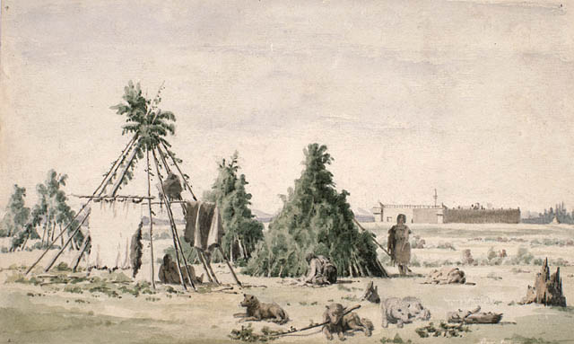
Rocky Mountain House is a town in west-central Alberta, Canada. It is approximately west of Red Deer at the confluence of the Clearwater and North Saskatchewan Rivers, and at the crossroads of Highway 22 (Cowboy Trail) and Highway 11 (David Thompson Highway). The surrounding Clearwater County's administration office is located in Rocky Mountain House. History The town has a long history dating to the 18th century with the presence of British and Canadian fur traders during the westward Canadian expansion. In 1799, the Hudson's Bay Company and the North West Company each established the Rocky Mountain House and Acton House fur trading posts. Trade with the local aboriginal peoples continued until 1821 when the companies merged, they continued to trade until 1875 and closed the Rocky Mountain House post. The name of the settlement however remained. The Rocky Mountain House settlement also served as a launching point for many explorers such as David Thompson, in search for ... [...More Info...] [...Related Items...] OR: [Wikipedia] [Google] [Baidu] |
Sawmill
A sawmill (saw mill, saw-mill) or lumber mill is a facility where logs are cut into lumber. Modern sawmills use a motorized saw to cut logs lengthwise to make long pieces, and crosswise to length depending on standard or custom sizes (dimensional lumber). The "portable" sawmill is of simple operation. The log lies flat on a steel bed, and the motorized saw cuts the log horizontally along the length of the bed, by the operator manually pushing the saw. The most basic kind of sawmill consists of a chainsaw and a customized jig ("Alaskan sawmill"), with similar horizontal operation. Before the invention of the sawmill, boards were made in various manual ways, either rived (split) and planed, hewn, or more often hand sawn by two men with a whipsaw, one above and another in a saw pit below. The earliest known mechanical mill is the Hierapolis sawmill, a Roman water-powered stone mill at Hierapolis, Asia Minor dating back to the 3rd century AD. Other water-powered mills followe ... [...More Info...] [...Related Items...] OR: [Wikipedia] [Google] [Baidu] |
North Saskatchewan River
The North Saskatchewan River is a glacier-fed river that flows from the Canadian Rockies continental divide east to central Saskatchewan, where it joins with the South Saskatchewan River to make up the Saskatchewan River. Its water flows eventually into the Hudson Bay. The Saskatchewan River system is the largest shared between the Canadian provinces of Alberta and Saskatchewan. Its watershed includes most of southern and central Alberta and Saskatchewan. Course The North Saskatchewan River has a length of , and a drainage area of . At its end point at Saskatchewan River Forks it has a mean discharge of . The yearly discharge at the Alberta–Saskatchewan border is more than . The river begins above at the toe of the Saskatchewan Glacier in the Columbia Icefield, and flows southeast through Banff National Park alongside the Icefields Parkway. At the junction of the David Thompson Highway (Highway 11), it initially turns northeast for before switching to a more direct easter ... [...More Info...] [...Related Items...] OR: [Wikipedia] [Google] [Baidu] |
Railway Tie
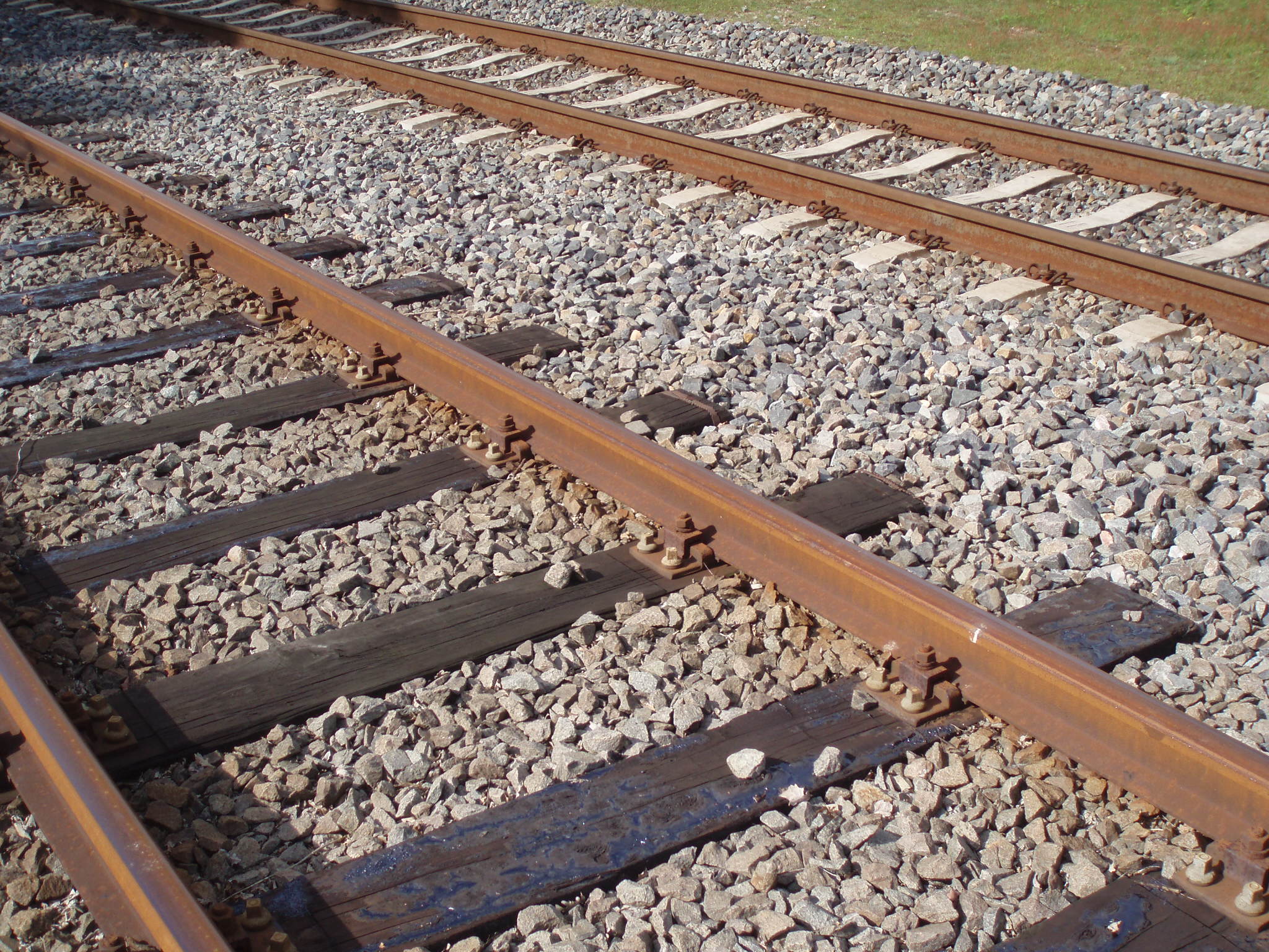
A railroad tie, crosstie (American English), railway tie ( Canadian English) or railway sleeper (Australian and British English) is a rectangular support for the rails in railroad tracks. Generally laid perpendicular to the rails, ties transfer loads to the track ballast and subgrade, hold the rails upright and keep them spaced to the correct gauge. Railroad ties are traditionally made of wood, but prestressed concrete is now also widely used, especially in Europe and Asia. Steel ties are common on secondary lines in the UK; plastic composite ties are also employed, although far less than wood or concrete. As of January 2008, the approximate market share in North America for traditional and wood ties was 91.5%, the remainder being concrete, steel, azobé (red ironwood) and plastic composite. Tie spacing may depend on the type of tie, traffic loads and other requirements, for example 2640 concrete ties per mile on North American mainline railroads to 2112 timber ties per mil ... [...More Info...] [...Related Items...] OR: [Wikipedia] [Google] [Baidu] |
Clearwater County, Alberta
Clearwater County is a municipal district in west central Alberta, Canada in Division No. 9. Its northwest boundary is the Brazeau River. The municipal office is located in the Town of Rocky Mountain House. The county has a land area of 18,691.65 km2 (7,216.89 sq mi) and comprises close to 99% of Census Division No. 9's land area of 18,921.38 km2 (7,305.59 sq mi). Although the territory excluded is rather small in geographical area, it comprises the major population centre of Rocky Mountain House, which has one-third of Division No. 9's population, in addition to the communities of Caroline, Burnstick Lake and three Indian reserves. The county's 2016 census population was 11,947. The economy of the county is based on agriculture, oil and gas and forestry, with tourism increasing in importance in recent years. On July 1, 2000, the name was changed from "Municipal District of Clearwater No. 99" to "Clearwater County". Geography Communities and localities Th ... [...More Info...] [...Related Items...] OR: [Wikipedia] [Google] [Baidu] |


