|
Pennsylvania Route 896
Pennsylvania Route 896 (PA 896) is a north–south state highway located in the counties of Chester and Lancaster in southeastern Pennsylvania. The southern terminus is at the Maryland state line just south of Strickersville in London Britain Township. South of the state line, the road continues as unsigned Maryland Route 896 (MD 896) for , and then enters Delaware as Delaware Route 896 (DE 896) toward Newark. The northern terminus is at PA 340 in the East Lampeter Township community of Smoketown, just east of the city of Lancaster. The highway serves the borough of Strasburg, known for its Amish tourist attractions. The section south of the borough down to the state line is predominantly farmland. PA 896 follows a northwest-southeast orientation between PA 340 and the Maryland state line. PA 896 was initially designated in 1928 between PA 42 (now PA 10) in Russellville and the Octoraro Creek in Homeville. In 1937, the route was extended in both directions to run ... [...More Info...] [...Related Items...] OR: [Wikipedia] [Google] [Baidu] |
London Britain Township, Pennsylvania
London Britain Township is a township in Chester County, Pennsylvania. The population was 3,139 at the 2010 census. White Clay Creek Preserve is a Pennsylvania state park in London Britain Township along White Clay Creek. History On March 14, 1681, William Penn received a charter from the King of England for a grant of land to establish a colony in the New World. This colony was named Pennsylvania, or Penn's Woods. The Township of London Britain was organized in 1725 from a tract of land belonging to the London Company of Great Britain.London Britain Township , Retrieved 2010-01-04. The southernmost part of the township was originally disputed territory between Pennsylvania and Maryland, resolved eventually by the |
Delaware Route 896
Delaware Route 896 (DE 896) is a state highway located in New Castle County, Delaware. The route runs from U.S. Route 13 (US 13) in Boyds Corner north to the Maryland border northwest of Newark, where the road becomes unsigned Maryland Route 896 (MD 896) briefly before heading into Pennsylvania as Pennsylvania Route 896 (PA 896). The route heads west from US 13 before turning north along with DE 71 in Mount Pleasant, crossing the Chesapeake & Delaware Canal on the Summit Bridge. After the bridge, DE 71 splits off to the east and the road continues to Glasgow, where it comes to an intersection with US 40. DE 896 continues north and interchange with Interstate 95 (I-95) before reaching Newark, where it bypasses the University of Delaware to the west by following DE 4, Elkton Road, and South Main Street. DE 896 comes to downtown Newark and continues northwest to the Maryland border. DE 896 ... [...More Info...] [...Related Items...] OR: [Wikipedia] [Google] [Baidu] |
Franklin Township, Chester County, Pennsylvania
Franklin Township is a township in Chester County, Pennsylvania. The population was 4,352 at the 2010 census. Geography According to the U.S. Census Bureau, the township has a total area of , all of it land. The mailing addresses for the township include Landenberg, Lincoln University, and Kemblesville. The township abuts Maryland on its southern border, near the Fair Hill equestrian trails and grounds. History The southernmost part of the township was originally disputed territory between Pennsylvania and Maryland, resolved eventually by the Mason–Dixon line. The southernmost section of the township formed the northern section of New Munster, a large settlement tract established by Maryland and named after the southern province of Munster in Ireland. New Munster acted as an early genesis point and catalyst for large Scotch-Irish settlement and expansion into Chester County and points west in Pennsylvania. The Wooleston Grist Mill, also known as Tweed's Mill or Mackey's ... [...More Info...] [...Related Items...] OR: [Wikipedia] [Google] [Baidu] |
Pennsylvania Route 796
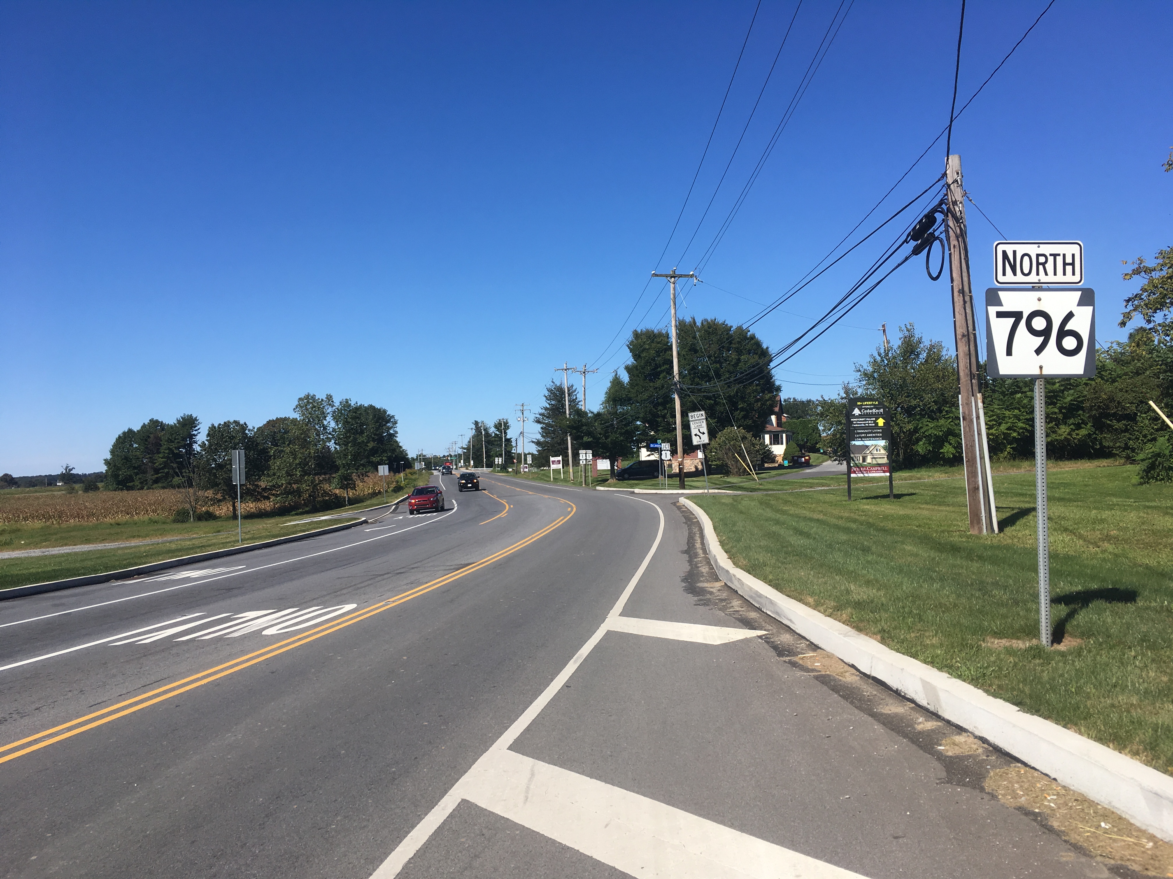
Pennsylvania Route 796 (PA 796) is a state highway in Chester County, Pennsylvania. The route runs from PA 896 in New London Township north to PA 41 in Londonderry Township. PA 796 heads through rural areas with some development along its route. In Jennersville, the route crosses Baltimore Pike and has an interchange with the U.S. Route 1 (US 1) freeway. PA 796 crosses PA 926 a short distance south of its northern terminus. PA 796 was originally designated by 1930 between the Maryland border near Kemblesville and north of Jennersville. In 1937, the southern terminus was moved to its current location, with PA 896 replacing the route south to the Maryland border, while the northern end was extended to PA 926 by 1940. PA 796 was extended north to PA 41 in the 1940s. Route description PA 796 begins at an intersection with PA 896 in New London Township, Chester County, heading north on two-lane undivided Jennersville Road. The route soon crosses into Penn Township and curve ... [...More Info...] [...Related Items...] OR: [Wikipedia] [Google] [Baidu] |
Pennsylvania Route 462
Pennsylvania Route 462 (PA 462) is a east–west state route in York and Lancaster counties in central Pennsylvania. The western terminus is west of York, and the eastern terminus is east of Lancaster. At both ends, PA 462 terminates at U.S. Route 30 (US 30), which follows a mostly freeway alignment parallel to the north between York and Lancaster. The route heads east into York, where it follows the one-way pair of Market Street eastbound and Philadelphia Street westbound. In York, PA 462 runs concurrent with PA 74 and crosses Interstate 83 Business (I-83 Bus.). East of York, the route becomes a multilane road that has an interchange with I-83 and crosses PA 24. PA 462 continues east through Hallam to Wrightsville and passes through that town before it crosses the Susquehanna River and runs through Columbia. East of here, the route continues through Mountville before reaching the city of Lancaster. In Lancaster, PA 462 is routed on the one-way pair of King Street east ... [...More Info...] [...Related Items...] OR: [Wikipedia] [Google] [Baidu] |
Homeville, Chester County, Pennsylvania
Homeville is a populated place situated in Upper Oxford Township in Chester County, Pennsylvania Pennsylvania (; ( Pennsylvania Dutch: )), officially the Commonwealth of Pennsylvania, is a state spanning the Mid-Atlantic, Northeastern, Appalachian, and Great Lakes regions of the United States. It borders Delaware to its southeast, ..., United States. It has an estimated elevation of above sea level. Homeville Friends Meeting House Built in 1839 and founded as the Oxford Preparative Meeting sponsored by the Fallowfield Monthly Meeting. In 1842 the meeting joined Pennsgrove Preparative Meeting to form Pennsgrove Monthly Meeting. The meeting was "laid down" or closed in 1915, but meetings for worship are sometimes held during the summer. The Homeville Cemetery Co.maintains the building and large burial ground. References {{authority control Unincorporated communities in Chester County, Pennsylvania Unincorporated communities in Pennsylvania ... [...More Info...] [...Related Items...] OR: [Wikipedia] [Google] [Baidu] |
Octoraro Creek
Octoraro Creek is a tributary of the Susquehanna River, joining it above the Susquehanna's mouth at Chesapeake Bay. The Octoraro rises as an East and West Branch in Pennsylvania. The East Branch and Octoraro Creek form the southern half of the border between Lancaster and Chester counties until the creek crosses the Mason-Dixon line. It winds through northwestern Cecil County, Maryland before joining the Susquehanna. Each of the branches is less than long. The entire creek drains of watershed. Octoraro Creek was designated a Pennsylvania Scenic River by Legislative Act 1983-43, managed by the Octoraro Creek Watershed Association. A brick tunnel leading to Octoraro Creek was built by Charles Spotts and used by slaves travelling the Underground Railway through Lancaster County, Pennsylvania. East Branch Octoraro Creek The East Branch Octoraro Creek, long, starts at Christiana, Pennsylvania, created by the confluence of Williams Run and Pine Creek, which carries the La ... [...More Info...] [...Related Items...] OR: [Wikipedia] [Google] [Baidu] |
Pennsylvania Route 10
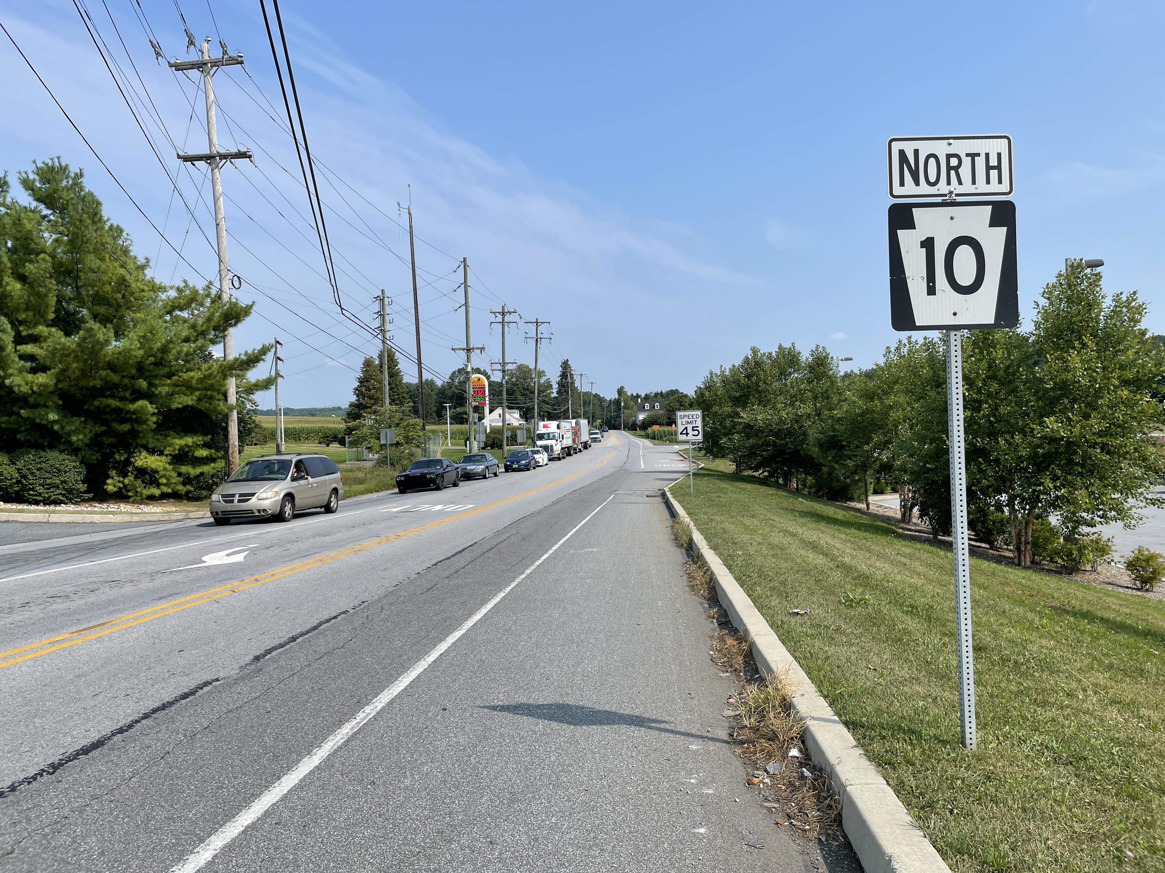
Pennsylvania Route 10 (PA 10) is a state route in southeastern Pennsylvania. Its southern terminus is at PA 472 in Oxford. Its northern terminus is at U.S. Route 222 Business (US 222 Bus.) in Reading. PA 10 is mostly a two-lane undivided road that serves Chester, Lancaster, and Berks counties. The route begins in Oxford and passes through rural areas of western Chester County, serving Cochranville, Parkesburg, Compass, and Honey Brook. The route passes through a small corner of eastern Lancaster County before it enters Berks County and reaches Morgantown, where it has interchanges with Interstate 176 (I-176) and the Pennsylvania Turnpike (I-76). Between Morgantown and Reading, PA 10 parallels I-176. The road between Oxford and Reading was originally designated as Legislative Route 274 in 1911. In 1927, this road became a portion of PA 42, which continued north from Reading to northern Pennsylvania. The PA 42 designation was replaced with US 122 in 1935; US 122 ran betw ... [...More Info...] [...Related Items...] OR: [Wikipedia] [Google] [Baidu] |
Pennsylvania Route 42
Pennsylvania Route 42 (PA 42) is a state route located in central Pennsylvania. The southern terminus of the route is at PA 61 in Centralia. The northern terminus is at U.S. Route 220 (US 220) in Laporte. The route heads north through Columbia County and passes through Catawissa before it crosses the Susquehanna River to Bloomsburg. In Bloomsburg, PA 42 forms a concurrency with US 11 and has an interchange with Interstate 80 (I-80). Past Bloomsburg, the route continues north through Millville and runs through the eastern part of Lycoming County. PA 42 heads into Sullivan County and runs concurrent with US 220 between Beech Glen and Muncy Valley before it loops west through Eagles Mere and reaches its terminus in Laporte. PA 42 was originally designated in 1927 to run from US 1 in Oxford north to the New York border in South Waverly. When first designated, the route ran concurrent with US 120 (now PA 61) between Reading and Centralia and US 220 between Laporte and Sout ... [...More Info...] [...Related Items...] OR: [Wikipedia] [Google] [Baidu] |
Farmland (farming)
Arable land (from the la, arabilis, "able to be ploughed") is any land capable of being ploughed and used to grow crops.''Oxford English Dictionary'', "arable, ''adj''. and ''n.''" Oxford University Press (Oxford), 2013. Alternatively, for the purposes of agricultural statistics, the term often has a more precise definition: A more concise definition appearing in the Eurostat glossary similarly refers to actual rather than potential uses: "land worked (ploughed or tilled) regularly, generally under a system of crop rotation". In Britain, arable land has traditionally been contrasted with pasturable land such as heaths, which could be used for sheep-rearing but not as farmland. Arable land area According to the Food and Agriculture Organization of the United Nations, in 2013, the world's arable land amounted to 1.407 billion hectares, out of a total of 4.924 billion hectares of land used for agriculture. Arable land (hectares per person) Non-arable land ... [...More Info...] [...Related Items...] OR: [Wikipedia] [Google] [Baidu] |
Amish
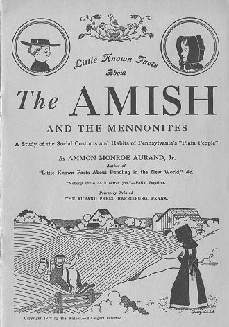
The Amish (; pdc, Amisch; german: link=no, Amische), formally the Old Order Amish, are a group of traditionalist Anabaptist Christian church fellowships with Swiss German and Alsatian origins. They are closely related to Mennonite churches, another Anabaptist denomination. The Amish are known for simple living, plain dress, Christian pacifism, and slowness to adopt many conveniences of modern technology, with a view neither to interrupt family time, nor replace face-to-face conversations whenever possible, and a view to maintain self-sufficiency. The Amish value rural life, manual labor, humility and '' Gelassenheit'' (submission to God's will). The history of the Amish church began with a schism in Switzerland within a group of Swiss and Alsatian Mennonite Anabaptists in 1693 led by Jakob Ammann. Those who followed Ammann became known as Amish. In the second half of the 19th century, the Amish divided into Old Order Amish and Amish Mennonites; the latter do not abstain fr ... [...More Info...] [...Related Items...] OR: [Wikipedia] [Google] [Baidu] |


