|
Pennsylvania Route 413
Pennsylvania Route 413 (PA 413) is a , north–south state highway in Bucks County, Pennsylvania. The route runs from the New Jersey state line on the Burlington–Bristol Bridge over the Delaware River outside Bristol, where the road continues as Route 413 into New Jersey, north to PA 611 in Bedminster Township. The route passes through the lower and central portions of Bucks County, serving Bristol, Levittown, Langhorne, Newtown, and Buckingham. The route intersects U.S. Route 13 (US 13) and Interstate 95 (I-95) near Bristol, I-295 near Penndel, US 1 in Langhorne Manor, and US 202 in Buckingham. The modern-day alignment of PA 413 roughly follows the Durham Road, an 18th-century road that connected Bristol to upper Bucks County. PA 413 was originally designated in 1928 to run from US 309 (Main Street) in Sellersville east to PA 113 in Blooming Glen. The route was extended to US 122 (now US 202) in Buckingham by 1930. In 1946, the northern terminus was moved to US 611 ... [...More Info...] [...Related Items...] OR: [Wikipedia] [Google] [Baidu] |
Burlington–Bristol Bridge
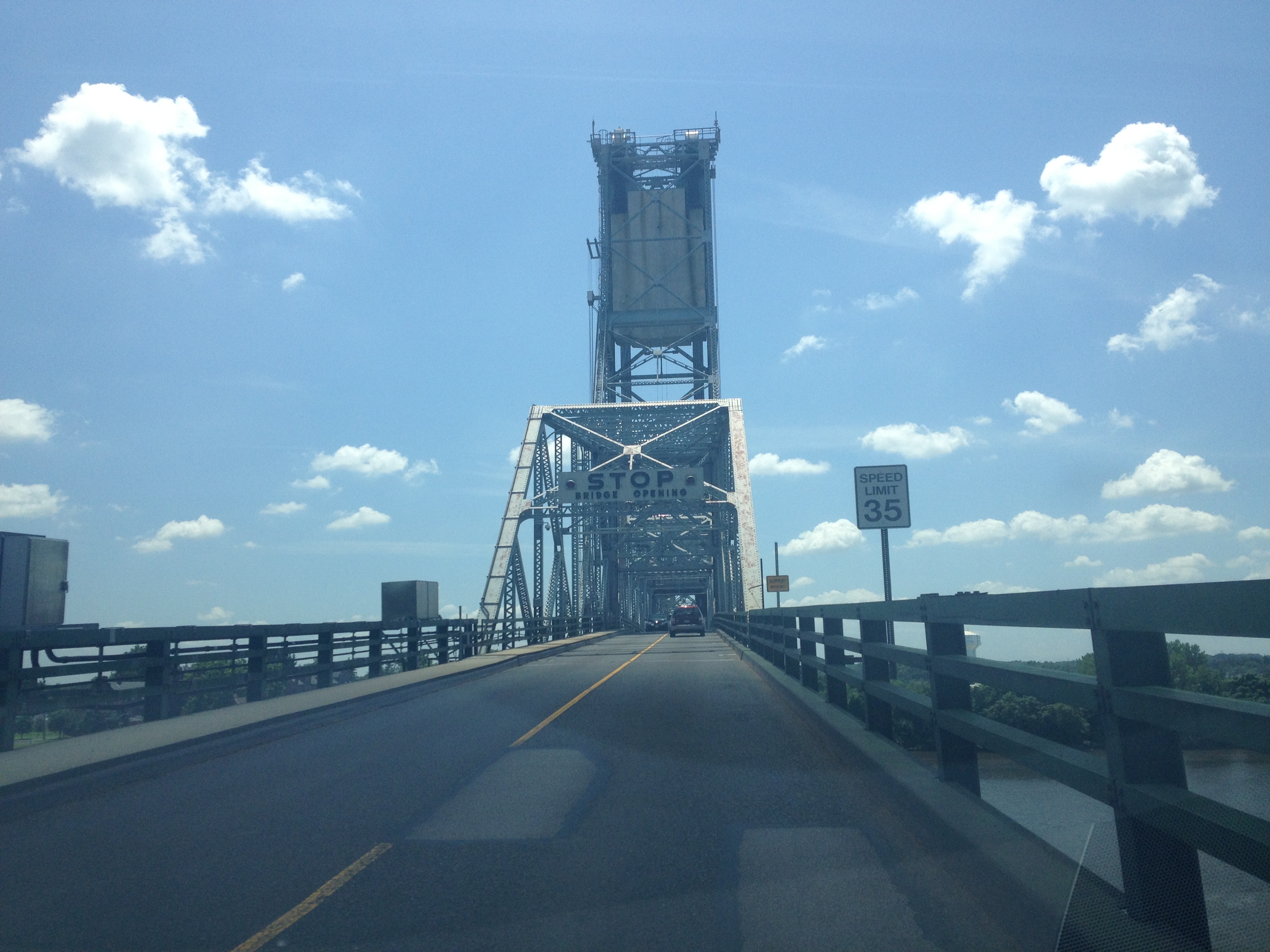
The Burlington–Bristol Bridge is a truss bridge with a lift span crossing the Delaware River from Burlington, New Jersey to Bristol Township, Pennsylvania in the United States. Construction of the bridge started on April 1, 1930, and the bridge opened to traffic on May 2, 1931. The bridge carries New Jersey Route 413 and Pennsylvania Route 413 (PA 413). The two-lane bridge has a total length of 2,301 feet (701 m), and is operated by the Burlington County Bridge Commission. The lift span is long. The center span is lifted by the action of two large concrete slabs of slightly greater weight than the lifted span, which block traffic when fully down. They are set in downwards motion to lift the bridge by a very slight action of the motors, as gravity does the rest. In 2016, traffic signals and barrier gates were installed at each end of the bridge for stopping traffic when the draw span is being lifted. A municipal garage is located underneath the rising road after ... [...More Info...] [...Related Items...] OR: [Wikipedia] [Google] [Baidu] |
Interstate 95 In Pennsylvania
Interstate 95 (I-95) is a major north-south Interstate highway that runs along the East Coast of the United States from Miami, Florida, north to Houlton, Maine. In the state of Pennsylvania, it runs from the Delaware state line near Marcus Hook in Delaware County northeast to the Delaware River–Turnpike Toll Bridge at the New Jersey state line near Bristol in Bucks County. From the Delaware state line to exit 40, the route is known by many as the Delaware Expressway but is officially named the Vietnam Veterans Memorial Highway. North of exit 40, I-95 follows the easternmost portion of the Pennsylvania Turnpike; this portion of road is not signed as part of the turnpike. I-95 parallels its namesake Delaware River for its entire route through the city of Philadelphia and its suburbs. It is a major route through the city and the metropolitan Delaware Valley, providing access to locally important landmarks such as Subaru Park, Philadelphia International Airport, the South Phi ... [...More Info...] [...Related Items...] OR: [Wikipedia] [Google] [Baidu] |
Conrail Shared Assets Operations
Conrail Shared Assets Operations (CSAO) is the commonly used name for modern-day Conrail (reporting mark CRCX), an American railroad company. It operates three networks, the North Jersey, South Jersey/Philadelphia, and Detroit Shared Assets Areas, where it serves as a contract local carrier and switching company for its owners, CSX Transportation and the Norfolk Southern Railway. When most of the former Conrail's track was split between these two railroads, the three shared assets areas (a total of about 1,200 miles of track) were kept separate to avoid giving one railroad an advantage in those areas. The company operates using its own employees and infrastructure but owns no equipment outside MOW equipment. North Jersey Shared Assets Area The North Jersey Shared Assets Area stretches from the North Bergen Yard in North Bergen, New Jersey south into Jersey City and Newark, and beyond to Manville ( Port Reading Junction) and Trenton, much of which is operated over Amtrak's ... [...More Info...] [...Related Items...] OR: [Wikipedia] [Google] [Baidu] |
Maple Beach, Pennsylvania
Maple Beach is an unincorporated community in Bristol Township in Bucks County, Pennsylvania, United States. Maple Beach is located along the Delaware River at the Pennsylvania approach to the Burlington-Bristol Bridge. In 1917, Rohm and Haas Rohm and Haas Company is a manufacturer of specialty chemicals for end use markets such as building and construction, electronic devices, packaging, household and personal care products. Headquartered in Philadelphia, the company is organized i ... purchased the residential properties in Maple Beach as part of an expansion of industrial activities in the area. Four homes remained in Maple Beach as of 2013. As of June 13, 2020, large signs at the north entrance indicated that the land is private property owned by DOW Chemical and trespassing would be prosecuted. References {{authority control Unincorporated communities in Bucks County, Pennsylvania Unincorporated communities in Pennsylvania ... [...More Info...] [...Related Items...] OR: [Wikipedia] [Google] [Baidu] |
Burlington, New Jersey
Burlington is a city in Burlington County, in the U.S. state of New Jersey. It is a suburb of Philadelphia. As of the 2020 United States census, the city's population was 9,743. Burlington was first incorporated on October 24, 1693, and was reincorporated by Royal charter on May 7, 1733. After American independence, the city was incorporated by the State of New Jersey on December 21, 1784. On March 14, 1851, the city was reincorporated and enlarged with portions of the surrounding township.Snyder, John P''The Story of New Jersey's Civil Boundaries: 1606–1968'' Bureau of Geology and Topography; Trenton, New Jersey; 1969. p. 94. Accessed June 14, 2012. Burlington was originally the county seat of Burlington County. In 1796, in response to the growth of population to the east away from the Delaware River, the county seat was moved to Mount Holly Township, a more central location. History The council of West Jersey Proprietors purchased roughly of riverfront land in 1676 from ... [...More Info...] [...Related Items...] OR: [Wikipedia] [Google] [Baidu] |
Vertical-lift Bridge
A vertical-lift bridge or just lift bridge is a type of movable bridge in which a span rises vertically while remaining parallel with the deck. The vertical lift offers several benefits over other movable bridges such as the bascule and swing-span bridges. Generally speaking, they cost less to build for longer moveable spans. The counterweights in a vertical lift are only required to be equal to the weight of the deck, whereas bascule bridge counterweights must weigh several times as much as the span being lifted. As a result, heavier materials can be used in the deck, and so this type of bridge is especially suited for heavy railroad use. The biggest disadvantage to the vertical-lift bridge (in comparison with many other designs) is the height restriction for vessels passing under it, due to the deck remaining suspended above the passageway. Although most vertical-lift bridges use towers, each equipped with counterweights, some use hydraulic jacks located below the deck. ... [...More Info...] [...Related Items...] OR: [Wikipedia] [Google] [Baidu] |
Pennsylvania Route 152
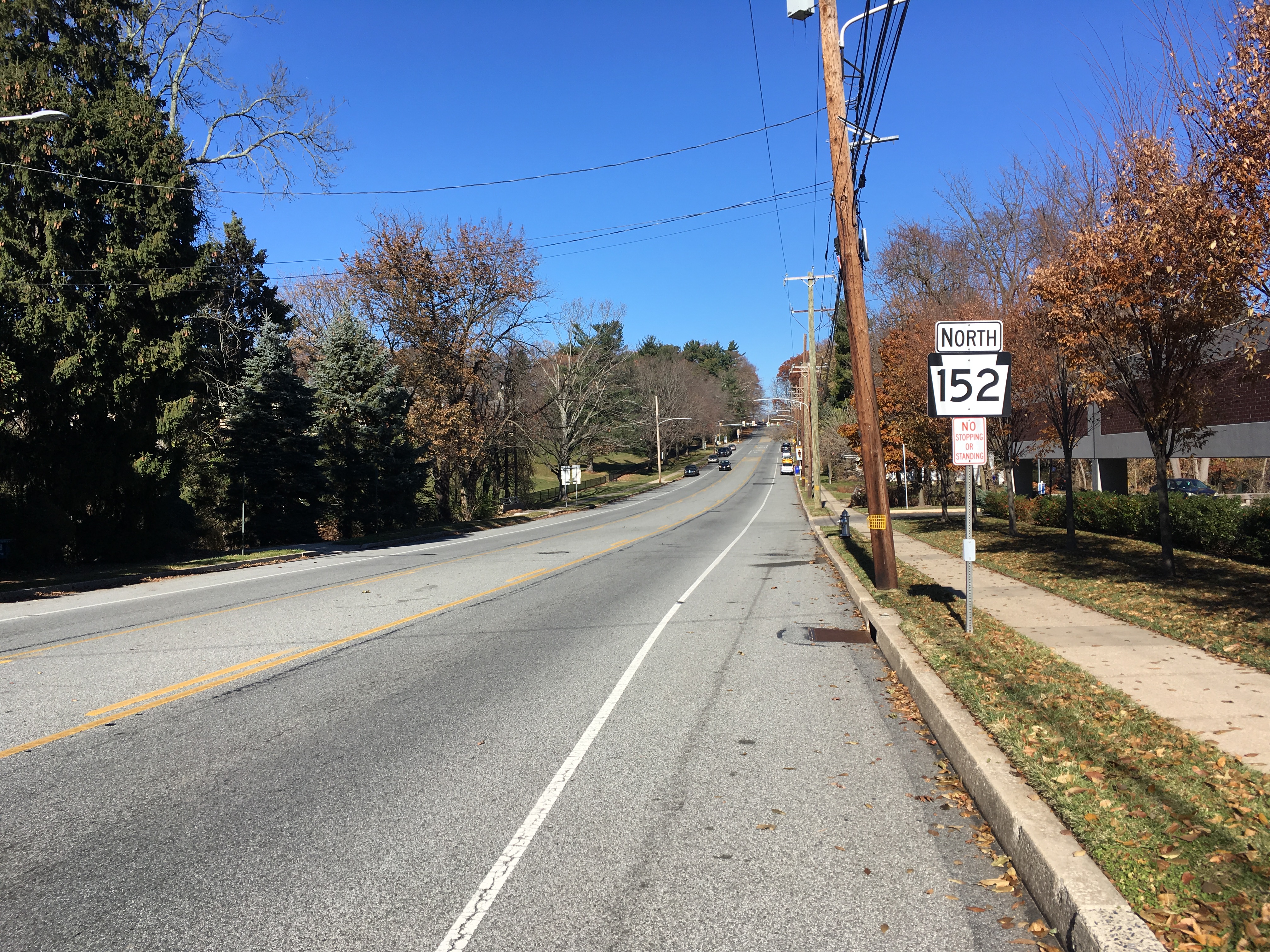
Pennsylvania Route 152 (PA 152) is a state highway located in the U.S. state of Pennsylvania. The route travels north–south from an interchange with PA 309 located in the Cedarbrook neighborhood of Cheltenham Township in Montgomery County north to another interchange with PA 309 located northeast of Telford in Bucks County. PA 152 is known as Limekiln Pike for most of its length. From the southern terminus, the route passes through suburban areas to the north of Philadelphia, serving Dresher, Maple Glen, and Chalfont. North of Chalfont, PA 152 runs through rural suburbs of Philadelphia before reaching Silverdale. Past here, the road continues northwest through Perkasie, where it turns southwest and passes through Sellersville before reaching its northern terminus. What is now PA 152 was originally Limekiln Road, a road built to transport lime from area kilns. The road was a turnpike between the 1850s and 1917. The route was first ... [...More Info...] [...Related Items...] OR: [Wikipedia] [Google] [Baidu] |
Pipersville, Pennsylvania
Pipersville is an unincorporated community in Bedminster and Plumstead Townships in Bucks County, Pennsylvania Bucks County is a county in the Commonwealth of Pennsylvania. As of the 2020 census, the population was 646,538, making it the fourth-most populous county in Pennsylvania. Its county seat is Doylestown. The county is named after the English ..., United States. Pipersville is located at the intersection of Pennsylvania State Routes 413 and 611. Pipersville comprises several agricultural properties, most of which are subject to conservation easements that do not permit subdivisions or development. Nicknames include “The Ville” and/or “Pipes.” References {{authority control Unincorporated communities in Bucks County, Pennsylvania Unincorporated communities in Pennsylvania ... [...More Info...] [...Related Items...] OR: [Wikipedia] [Google] [Baidu] |
Blooming Glen, Pennsylvania
Blooming Glen is an Unincorporated area, unincorporated community in Hilltown Township, Pennsylvania, Hilltown Township in Bucks County, Pennsylvania, United States. History Blooming Glen was once known as "Perkasie" for a very short time. In the 1870s its name was Moyers Store, as that was the name of the post office, John S. Moyer was the postmaster. By the time Moyer died, the name was changed to Blooming Glen. William D. Bishop was appointed the next postmaster.MacReynolds, George, ''Place Names in Bucks County, Pennsylvania'', Doylestown, Bucks County Historical Society, Doylestown, PA, 1942, P26. Geography Blooming Glen is located at the intersection of Pennsylvania Route 113 and Blooming Glen Road. References {{authority control Unincorporated communities in Bucks County, Pennsylvania Unincorporated communities in Pennsylvania ... [...More Info...] [...Related Items...] OR: [Wikipedia] [Google] [Baidu] |
Pennsylvania Route 113
Pennsylvania Route 113 (PA 113) is a state route in eastern Pennsylvania. The southern terminus of the route is at U.S. Route 30 Business (US 30 Bus.) in Downingtown. Its northern terminus is at PA 611 in Tinicum Township. The route is signed as north–south although its exact alignment follows a northeast-southwest routing. The route serves Chester, Montgomery, and Bucks counties, passing through Lionville, Phoenixville, Trappe, Skippack, Harleysville, Souderton, and Silverdale along the way. PA 113 was originally designated by 1927 to run from PA 23 and PA 29 in Phoenixville to US 1 and PA 101 in Penndel. By 1930, PA 113 was extended from Phoenixville southwest to US 30 in Downingtown and south from Penndel to US 13 in Eddington. The route was moved to its current alignment between Phoenixville and Rahns in 1937, switching routes with PA 29. In 1946, PA 113 was realigned at Kulps Corner to head to is current northern terminus, replacing part of PA 413. Th ... [...More Info...] [...Related Items...] OR: [Wikipedia] [Google] [Baidu] |
Sellersville, Pennsylvania
Sellersville is a borough in Bucks County, Pennsylvania. The population was 4,249 at the 2010 census. It is in the Pennridge School District. History Sellersville was founded in the early 18th century. It was centered on a major road known as Bethlehem Pike that connected Philadelphia to Bethlehem and the rest of what was then far Western Pennsylvania. The town was very small and was called Sellers Tavern. Its most notable feature was a large inn. The present Washington House in Sellersville, however, was not Sellers Tavern. The town grew slowly over the years until the Industrial Revolution. In the 1860s the North Pennsylvania Railroad was built, running parallel to Bethlehem Pike: this stimulated the growth of light textile industries and brought a wave of population growth. The East Branch of the Perkiomen Creek runs through the town which connects it to an adjacent town of Perkasie, Pennsylvania, Perkasie. This creek was dammed in the early 20th century creating a small body ... [...More Info...] [...Related Items...] OR: [Wikipedia] [Google] [Baidu] |


.jpg)

