|
Parks And Open Spaces In Wrexham
The city of Wrexham has two main city parks, these being Bellevue Park and Acton Park. On the outskirts of the city there is also open parkland on and surrounding the Erddig estate. There is also a city centre green. A total of 13 parks and green spaces in Wrexham city have been, or are in the process of being, legally protected with green space charity Fields in Trust ensuring they can never be built on, nor lost to development. A further 24 parks and open spaces have also been awarded the protection in the wider Wrexham County Borough. Parks Bellevue Park (''Parciau;'' ) – opened in 1910. It is located to the south-east of Wrexham city centre in Offa. It hosts a Queen Victoria statue originally from Gulidhall Square on Chester Street, and a bandstand pavilion opened in 1915. The park has hosted the National Eisteddfod of Wales twice in 1912 and 1933. The park was neglected during the 1970s, and many of the amenities were in a poor state of repair. A major project was un ... [...More Info...] [...Related Items...] OR: [Wikipedia] [Google] [Baidu] |
Wrexham
Wrexham ( ; cy, Wrecsam; ) is a city and the administrative centre of Wrexham County Borough in Wales. It is located between the Welsh mountains and the lower Dee Valley, near the border with Cheshire in England. Historically in the county of Denbighshire, and later the county of Clwyd in 1974, it has been the principal settlement of Wrexham County Borough since 1996. Wrexham has historically been one of the primary settlements of Wales. At the 2011 Census, it had an urban population of 61,603 as part of the wider Wrexham built-up area which made it Wales's fourth largest urban conurbation and the largest in north Wales. The city comprises the local government communities of Acton, Caia Park, Offa and Rhosddu. Wrexham's built-up area extends further into villages like Bradley, Brymbo, Brynteg, Gwersyllt, New Broughton, Pentre Broughton and Rhostyllen. Wrexham was likely founded prior to the 11th century and developed in the Middle Ages as a regional centre for t ... [...More Info...] [...Related Items...] OR: [Wikipedia] [Google] [Baidu] |
Gorsedd Stones
Gorsedd Stones ( cy, Cerrig yr Orsedd) are groups of standing stones constructed for the National Eisteddfod of Wales. They form an integral part of the druidic Gorsedd ceremonies of the Eisteddfod. The stones can be found as commemorative structures throughout Wales and are the hallmark of the National Eisteddfod having visited a community. Each stone structure is arranged in a circular formation typically consisting of twelve stone pillars, sometimes from the local area and sometimes, the stones have been brought in to represent the Welsh counties, such as at Aberystwyth. A large, flat-topped stone, known as the Logan Stone, lies at the centre of the circle and serves as a platform. Origins An early Gorsedd was held by Iolo Morganwg at a location known as the "Rocking Stone" (in Welsh, "Y Maen Chwŷf") at Pentrebach, Pontypridd; Iolo, a stonemason by trade, constructed a stone circle around the central stone. Iolo had already held a similar ceremony in 1792 in London, also fe ... [...More Info...] [...Related Items...] OR: [Wikipedia] [Google] [Baidu] |
Bonc Yr Hafod
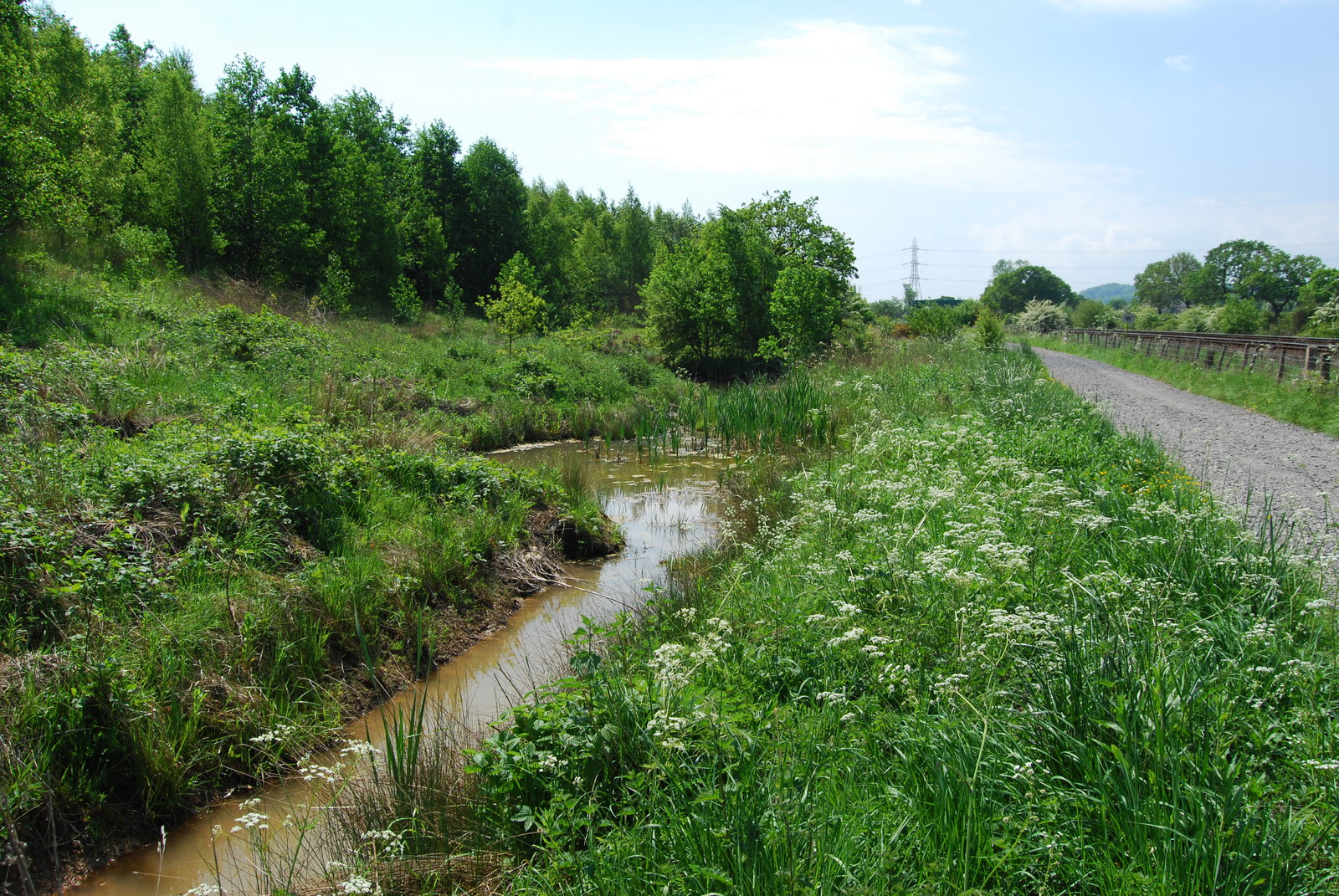
Bonc yr Hafod (meaning: ''Hafod Bank'') is a country park, on the former site of Hafod Colliery, near Johnstown, Wrexham, Johnstown and Pentre Bychan in Wrexham County Borough, Wales. The country park is centred on a former spoil tip hill, known locally as "Picnic Mountain" (), rising up . The country park is in size of mainly woodlands and grasslands. The park is home to one of the largest community woodlands in North East Wales. Description The country park is situated on the old "Hafod Colliery" site, and is in size, with mainly woodlands and grasslands. The park is home to one of the largest community woodlands in North East Wales. Within the park there is a hill, known locally as "Picnic Mountain" (), rising up . The hill is made from the mining waste collected from the various mine shafts and tunnels when the site was operating as a colliery. Biodiversity The park is within the Johnstown Special Area of Conservation along with Stryt Las Park, due to the local prese ... [...More Info...] [...Related Items...] OR: [Wikipedia] [Google] [Baidu] |
Minera
Minera ( cy, Mwynglawdd; ) is a village and community in Wrexham County Borough, Wales. It adjoins the village of Coedpoeth. The community, which in addition to Minera village includes a number of smaller hamlets such as Gwynfryn and New Brighton and large areas of farmland, had a total population of 1,608 at the 2001 census,Minera Office for National Statistics increasing slightly to 1,617 at the 2011 Census. History The name Minera has an unusual source, being derived from the for "mine" or "ore".Palmer, A. N. ''A History of Ancient Tenures of Land ...[...More Info...] [...Related Items...] OR: [Wikipedia] [Google] [Baidu] |
Minera Lead Mines
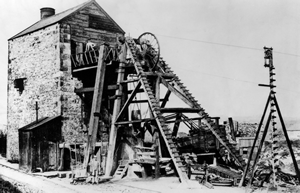
The Minera Lead Mines were a mining operation and are now a country park and tourist centre in the village of Minera near Wrexham, in Wrexham County Borough, Wales. History The first written record of lead mining at Minera dates back to 1296, when Edward I of England hired miners from the site to work in his new mines in Devon. Not all of them vacated the area, however, as mining went on until the Black Death in 1349, when it ended. In 1527, two men bought the rights to mine on the site, but deeper workings were unworkable due to the presence of underground rivers, and the inability to prevent flooding. The inability to pay for steam engines to pump out water closed the mines again until 1845, when John Taylor & Sons, mining agents from Flintshire, formed the Minera Mining Company. They were able to build a stationary steam engine on site, and also blast caves from down in the valley into the mines, for extra drainage. The steam engine was a Cornish engine (i.e. a Beam engine) ... [...More Info...] [...Related Items...] OR: [Wikipedia] [Google] [Baidu] |
Gwersyllt
Gwersyllt () is an urban village and community in Wrexham County Borough, Wales. The densely populated village is one of Wrexham's largest and is situated in the north western suburbs of the city, bordering the nearby villages of Llay, Cefn-y-Bedd, Brynteg, and Pentre Broughton. The community, also including the villages of Summerhill, Sydallt, Rhosrobin and Bradley, had a total population of 10,056 at the 2001 census,Gwersyllt Community , Office for National Statistics rising to 10,677 at the 2011 Census. The is usually stated to be derived from the |
Alyn Waters
Alyn Waters ( cy, Dyfroedd Alun) is a country park situated between Gwersyllt and Llay in Wrexham County Borough, in the north-east of Wales, and is managed by Wrexham County Borough Council. Alyn Waters takes its name from the River Alyn The River Alyn ( cy, Afon Alun) is a tributary of the River Dee, in north-east Wales. The River Alyn rises at the southern end of the Clwydian hills and the Alyn Valley forms part of the Clwydian Range and Dee Valley Area of Outstanding N ... which passes through the park and a footpath runs parallel to the river. There are many paths and trails crossing the park. The park is split in two by the river with one part in Gwersyllt and the other part in Llay. Alyn Waters includes a cafe open all year round on the Gwersyllt side and Llay side has a playground. There is car parking on both sides. References {{Authority control Country parks in Wales Parks in Wrexham County Borough ... [...More Info...] [...Related Items...] OR: [Wikipedia] [Google] [Baidu] |
Cefn Mawr
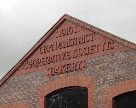
Cefn Mawr () is a village in the community of Cefn within Wrexham County Borough, Wales. Its name translates as "big ridge".Mills, D. ''A Dictionary of British Place Names'', OUP, p.104 The population in 2001 was 6,669, increasing to 7,051 in 2011. The community of Cefn comprises the villages of Cefn Mawr, Cefn-bychan ("little ridge"), Acrefair, Penybryn, Newbridge, Plas Madoc and Rhosymedre and is situated on the northern slopes of the Dee Valley. History Cefn Mawr was part of the ancient parish of Ruabon and the area was known as ''Cristionydd Cynrig'' (or ''Cristioneth Kenrick'' in English). In 1844, most of Cristionydd Cynrig, together with the neighbouring township of ''Coed Cristionydd'' became part of the new parish of Rhosymedre.Rhosymedre, St John |
Country Park
A country park is a natural area designated for people to visit and enjoy recreation in a countryside environment. United Kingdom History In the United Kingdom, the term ''country park'' has a special meaning. There are around 250 recognised country parks in England and Wales attracting some 57 million visitors a year, and another 40 or so in Scotland. Most country parks were designated in the 1970s, under the Countryside Act 1968, with the support of the former Countryside Commission. In more recent times there has been no specific financial support for country parks directly and fewer have been designated. Most parks are managed by local authorities, although other organisations and private individuals can also run them. The 1968 Countryside Act empowered the Countryside Commission to recognize country parks. Although the Act established country parks and gave guidance on the core facilities and services they should provide it did not empower the designation of sites as country ... [...More Info...] [...Related Items...] OR: [Wikipedia] [Google] [Baidu] |
Motte And Bailey
A motte-and-bailey castle is a European fortification with a wooden or stone keep situated on a raised area of ground called a motte, accompanied by a walled courtyard, or Bailey (castle), bailey, surrounded by a protective Rampart (fortification), ditch and palisade. Relatively easy to build with unskilled labour, but still militarily formidable, these castles were built across northern Europe from the 10th century onwards, spreading from Normandy and County of Anjou, Anjou in France, into the Holy Roman Empire in the 11th century. The Normans introduced the design into England and Wales. Motte-and-bailey castles were adopted in Scotland, Ireland, the Low Countries and Denmark in the 12th and 13th centuries. Windsor Castle, in England, is an example of a motte-and-bailey castle. By the end of the 13th century, the design was largely superseded by alternative forms of fortification, but the earthworks remain a prominent feature in many countries. Architecture Structures A mott ... [...More Info...] [...Related Items...] OR: [Wikipedia] [Google] [Baidu] |
Hydraulic Ram
A hydraulic ram, or hydram, is a cyclic water pump powered by hydropower. It takes in water at one "hydraulic head" (pressure) and flow rate, and outputs water at a higher hydraulic head and lower flow rate. The device uses the water hammer effect to develop pressure that allows a portion of the input water that powers the pump to be lifted to a point higher than where the water originally started. The hydraulic ram is sometimes used in remote areas, where there is both a source of low-head hydropower and a need for pumping water to a destination higher in elevation than the source. In this situation, the ram is often useful, since it requires no outside source of power other than the kinetic energy of flowing water. History The Alhambra, built by Nasrid Sultan Ibn al-Ahmar of Granada beginning AD1238, used a hydram to raise water. Through a first reservoir, filled by a channel from the Darro River, water emptied via a large vertical channel into a second reservoir bene ... [...More Info...] [...Related Items...] OR: [Wikipedia] [Google] [Baidu] |


