|
Paczkowski Lake
Paczkowski Lake is a retention reservoir which was constructed due to the flooding of the river Nysa Kłodzka's by the overflow of the lakes which have been part of the river, the reservoir is made up of two reservoirs, Kozielno and Topola, and is located on the border of the Lower Silesian Voivodeship Lower Silesian Voivodeship, or Lower Silesia Province, in southwestern Poland, is one of the 16 voivodeships (provinces) into which Poland is divided. The voivodeship was created on 1 January 1999 out of the former Wrocław, Legnica, Wałbrz ... and Opole Voivodeship. The main function of the reservoir is to protect the area against floods. The gravel pit in the reservoir works as an extraction of gravel. The water flow in the reservoir is also used for generating energy in both of the outflows there are dams. The full capacity of the reservoir is 42,9 million m³. References LPaczkowski Reservoirs in Poland Nysa County Lakes of Opole Voivodeship Lakes of Lower Sile ... [...More Info...] [...Related Items...] OR: [Wikipedia] [Google] [Baidu] |
Reservoir
A reservoir (; from French ''réservoir'' ) is an enlarged lake behind a dam. Such a dam may be either artificial, built to store fresh water or it may be a natural formation. Reservoirs can be created in a number of ways, including controlling a watercourse that drains an existing body of water, interrupting a watercourse to form an embayment within it, through excavation, or building any number of retaining walls or levees. In other contexts, "reservoirs" may refer to storage spaces for various fluids; they may hold liquids or gasses, including hydrocarbons. ''Tank reservoirs'' store these in ground-level, elevated, or buried tanks. Tank reservoirs for water are also called cisterns. Most underground reservoirs are used to store liquids, principally either water or petroleum. Types Dammed valleys Dammed reservoirs are artificial lakes created and controlled by a dam A dam is a barrier that stops or restricts the flow of surface water or underground streams ... [...More Info...] [...Related Items...] OR: [Wikipedia] [Google] [Baidu] |
Nysa Kłodzka
The Eastern Neisse, also known by its Polish name of Nysa Kłodzka (german: Glatzer Neiße, cs, Kladská Nisa), is a river in southwestern Poland, a left tributary of the Oder, with a length of 188 km (21st longest) and a basin area of 4,570 km2 (3,742 in Poland). Prior to World War II it was part of Germany. During the Yalta Conference it was discussed by the Western Allies as one possible line of the western Polish border. Attempts were made to negotiate a compromise with the Soviets on the new Polish-German frontier; it was suggested that the Eastern Neisse be made the line of demarcation. This would have meant that (East) Germany could have retained approximately half of Silesia, including most of Wrocław (formerly Breslau). However the Soviets rejected the suggestion at the Potsdam Conference and insisted that the southern boundary between Germany and Poland be drawn further west, at the Lusatian Neisse.Brogan, Patrick (1990). ''The Captive Nations: Eastern Europe, ... [...More Info...] [...Related Items...] OR: [Wikipedia] [Google] [Baidu] |
Lower Silesian Voivodeship
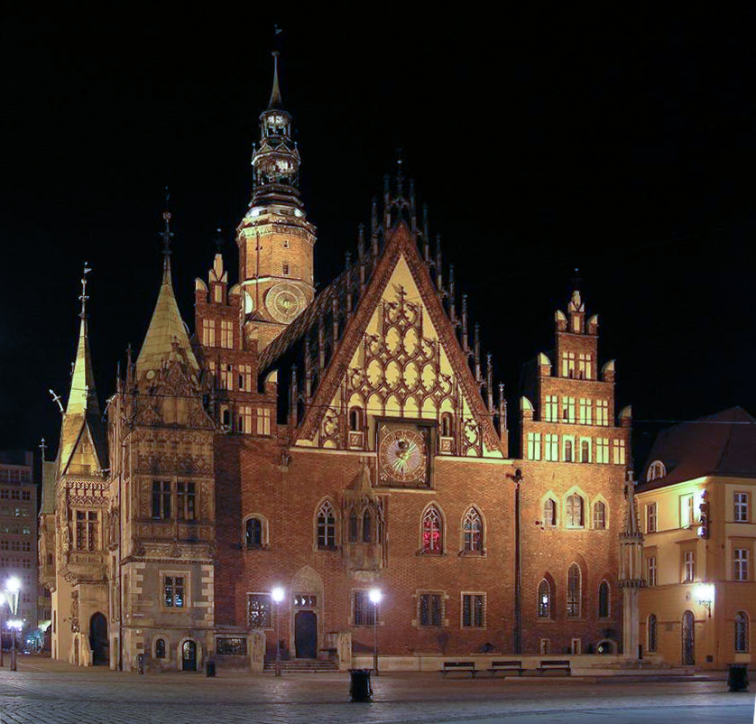
Lower Silesian Voivodeship, or Lower Silesia Province, in southwestern Poland, is one of the 16 voivodeships (provinces) into which Poland is divided. The voivodeship was created on 1 January 1999 out of the former Wrocław, Legnica, Wałbrzych and Jelenia Góra Voivodeships, following the Polish local government reforms adopted in 1998. It covers an area of , and has a total population of 2,899,986. It is one of the richest provinces in Poland as it has valuable natural resources such as copper, silver, gold, brown coal and rock materials (inter alia granite, basalt, gabbro, diabase, amphibolite, porphyry, gneiss, serpentinite, sandstone, greywacke, limestone, dolomite, bentonite, kaolinite, clay, aggregate), which are exploited by the biggest enterprises. Its well developed and varied industries attract both domestic and foreign investors. Its capital and largest city is Wrocław, situated on the Oder River. It is one of Poland's largest and most dynamic cities with a ... [...More Info...] [...Related Items...] OR: [Wikipedia] [Google] [Baidu] |
Opole Voivodeship
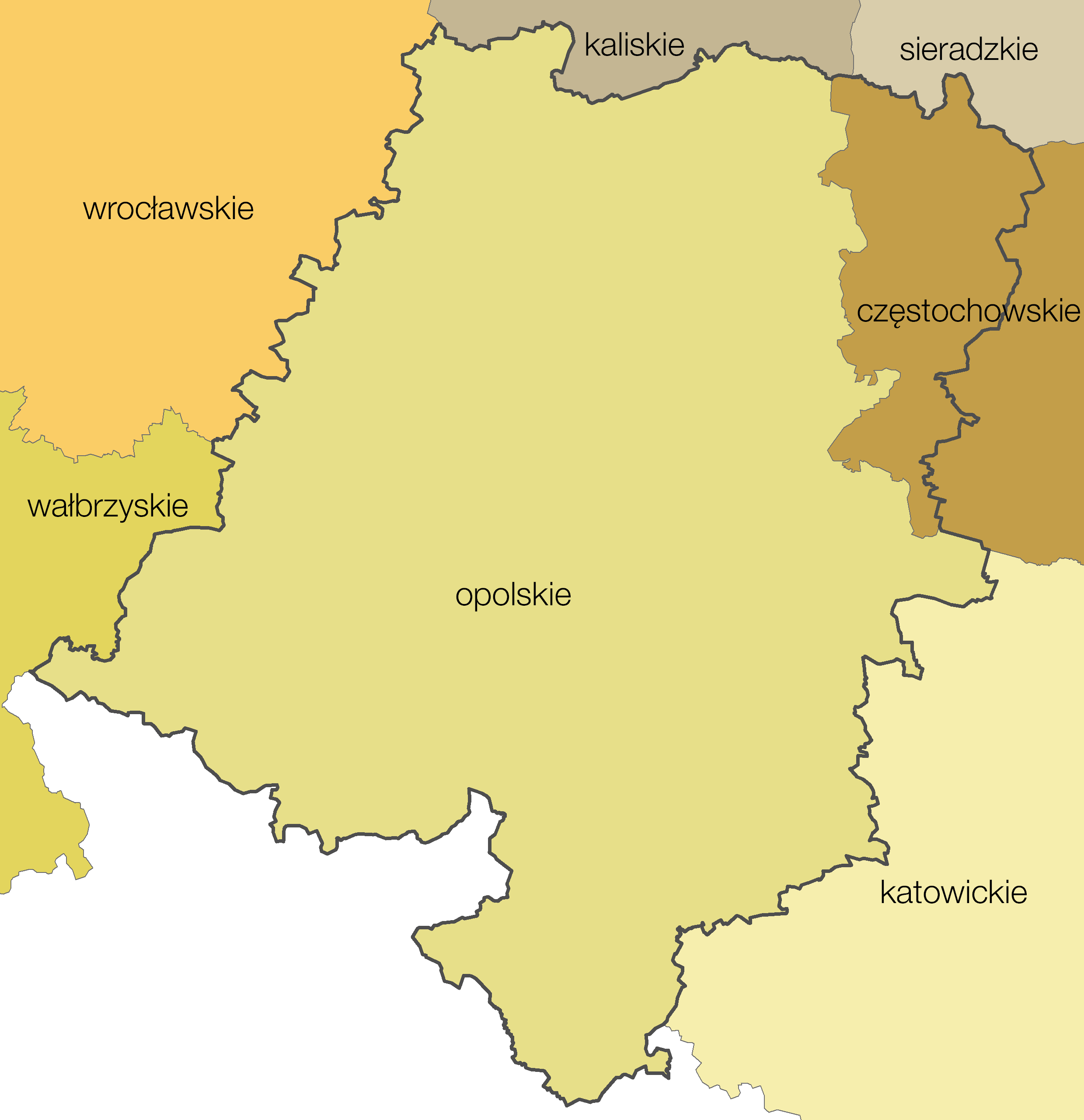
Opole Voivodeship, or Opole Province ( pl, województwo opolskie ), is the smallest and least populated voivodeship (province) of Poland. The province's name derives from that of the region's capital and largest city, Opole. It is part of Upper Silesia. A relatively large German minority, with representatives in the Sejm, lives in the voivodeship, and the German language is co-official in 28 communes. Opole Voivodeship is bordered by Lower Silesian Voivodeship to the west, Greater Poland and Łódź Voivodeships to the north, Silesian Voivodeship to the east, and the Czech Republic (Olomouc Region and Moravian-Silesian Region) to the south. Opole Province's geographic location, economic potential, and its population's level of education make it an attractive business partner for other Polish regions (especially Lower Silesian and Silesian Voivodeships) and for foreign investors. Formed in 1997, the Praděd/Pradziad Euroregion with its headquarter in Prudnik has facilitated e ... [...More Info...] [...Related Items...] OR: [Wikipedia] [Google] [Baidu] |
Hydroelectricity
Hydroelectricity, or hydroelectric power, is Electricity generation, electricity generated from hydropower (water power). Hydropower supplies one sixth of the world's electricity, almost 4500 TWh in 2020, which is more than all other Renewable energy, renewable sources combined and also more than nuclear power. Hydropower can provide large amounts of Low-carbon power, low-carbon electricity on demand, making it a key element for creating secure and clean electricity supply systems. A hydroelectric power station that has a dam and reservoir is a flexible source, since the amount of electricity produced can be increased or decreased in seconds or minutes in response to varying electricity demand. Once a hydroelectric complex is constructed, it produces no direct waste, and almost always emits considerably less greenhouse gas than fossil fuel-powered energy plants. [...More Info...] [...Related Items...] OR: [Wikipedia] [Google] [Baidu] |
Oder Basin
The Oder ( , ; Czech, Lower Sorbian and ; ) is a river in Central Europe. It is Poland's second-longest river in total length and third-longest within its borders after the Vistula and Warta. The Oder rises in the Czech Republic and flows through western Poland, later forming of the border between Poland and Germany as part of the Oder–Neisse line. The river ultimately flows into the Szczecin Lagoon north of Szczecin and then into three branches (the Dziwna, Świna and Peene) that empty into the Bay of Pomerania of the Baltic Sea. Names The Oder is known by several names in different languages, but the modern ones are very similar: English and ; Czech, Polish, and , ; (); Medieval Latin: ''Od(d)era''; Renaissance Latin: ''Viadrus'' (invented in 1534). Ptolemy knew the modern Oder as the Συήβος (''Suebos''; Latin ''Suevus''), a name apparently derived from the Suebi, a Germanic people. While he also refers to an outlet in the area as the Οὐιαδούα ''Ou ... [...More Info...] [...Related Items...] OR: [Wikipedia] [Google] [Baidu] |
Reservoirs In Poland
Major water reservoir (water), reservoirs and dams in Poland: * Besko Reservoir on the Wisłok, completed 1978 * Bukowskie Reservoir on the Bóbr, completed 1907, expanded 1989 * Lake Czorsztyn on the Dunajec, completed 1995 * Lake Dobczyce on the Raba (river), Raba, 1987 * Goczałkowice Reservoir on the Vistula, 1956 * Lake Klimkowskie on the Ropa (river), Ropa, 1994 * Lake Leśnia on the Kwisa, 1905 * Lake Lubachowskie on the Bystrzyca (Odra), Bystrzyca, 1917 * Lake Malta on the Cybina, 1952 * Lake Międzybrodzkie, created by the Porąbka Dam on the Soła, 1937 * Niedów Reservoir on the Smědá, 1962 * Nyskie Lake on the Nysa Kłodzka, 1971 * Otmuchowskie Reservoir on the Nysa Kłodzka, 1933 * Pilchowickie Lake, created by the masonry gravity Pilchowice Dam on the Bóbr, 1912 * Lake Rożnów on the Dunajec, 1942 * Lake Solina, created by the concrete gravity Solina Dam on the San river, San, 1968 * Zalew Sulejowski, Sulejów Reservoir on the Pilica (river), Pilica, 1974 * W� ... [...More Info...] [...Related Items...] OR: [Wikipedia] [Google] [Baidu] |
Nysa County
__NOTOC__ Nysa County ( pl, powiat nyski) is a unit of territorial administration and local government (powiat) in Opole Voivodeship, south-western Poland, on the Czech border. It came into being on January 1, 1999, as a result of the Polish local government reforms passed in 1998. Its administrative seat and largest town is Nysa, which lies south-west of the regional capital Opole. The county contains four other towns: Głuchołazy, south of Nysa, Paczków, west of Nysa, Otmuchów, west of Nysa, and Korfantów, east of Nysa. The county covers an area of . As of 2019 its total population is 136,393. The most populated towns are Nysa with 43,849 inhabitants, Głuchołazy with 13,534 inhabitants, and Paczków with 7,460 inhabitants. Neighbouring counties Nysa County is bordered by Ząbkowice Śląskie County to the west, Strzelin County and Brzeg County to the north, Opole County to the north-east, and Prudnik County to the south-east. It also borders the Czech Republic to the ... [...More Info...] [...Related Items...] OR: [Wikipedia] [Google] [Baidu] |
Lakes Of Opole Voivodeship
A lake is an area filled with water, localized in a basin, surrounded by land, and distinct from any river or other outlet that serves to feed or drain the lake. Lakes lie on land and are not part of the ocean, although, like the much larger oceans, they do form part of the Earth's water cycle. Lakes are distinct from lagoons, which are generally coastal parts of the ocean. Lakes are typically larger and deeper than ponds, which also lie on land, though there are no official or scientific definitions. Lakes can be contrasted with rivers or streams, which usually flow in a channel on land. Most lakes are fed and drained by rivers and streams. Natural lakes are generally found in mountainous areas, rift zones, and areas with ongoing glaciation. Other lakes are found in endorheic basins or along the courses of mature rivers, where a river channel has widened into a basin. Some parts of the world have many lakes formed by the chaotic drainage patterns left over from the ... [...More Info...] [...Related Items...] OR: [Wikipedia] [Google] [Baidu] |


